Blakiston Falls Trail in Waterton Lakes National Park

#10 of 47 trails in Waterton Lakes

Waterton Lakes National Park, AB

Blakiston Falls Trail

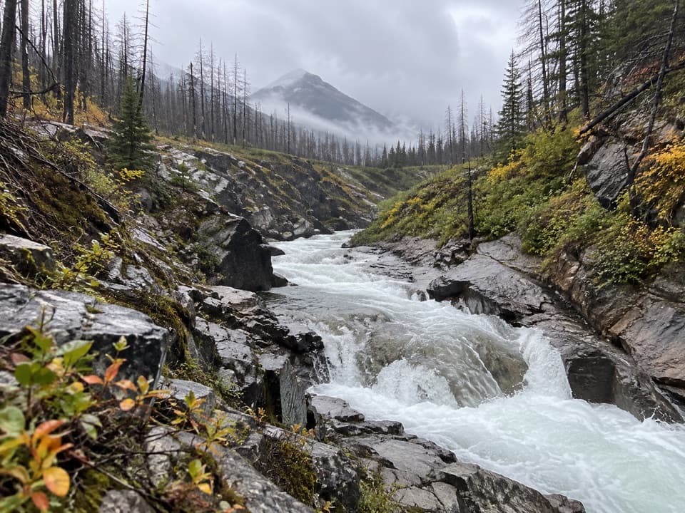
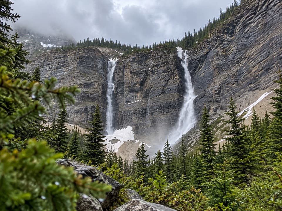
Two creek bridges lead to twin views of the waterfall.

Photo: Wikimedia Commons
Length
2.3km
Time
54min
Elev. change
49m
Difficulty
Easy
  • Dogs allowed
  • High point 1,535 m

Hear the audio tour

Red Rock Canyon

Overview

About Blakiston Falls Trail

Why go

  • Two creek crossings and a gentle trail make the route easy to follow.
  • Built platforms give both a close falls view and a wide gorge view.

Map & elevation

The route

Loading the Waterton Lakes map
Full map
Elevation1,486–1,535 m
TrailheadLower Red Rock Canyon parking lot49.13065, -114.02630
Keep this map with you offline in the Parkwolf app

Plan your hike

Before you go

Parking

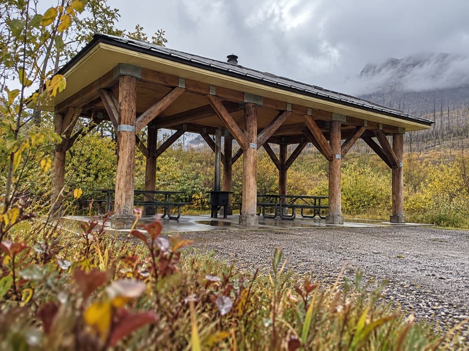
Start at the lower Red Rock Canyon parking lot. Walk past the kitchen shelter, cross Red Rock Creek, then take the left bridge over Bauerman Creek and turn right for the falls. Red Rock Parkway closes to vehicles seasonally, typically October through May depending on weather.

Safety

The viewing platforms overlook a steep gorge; stay on the built trail and platforms. Dogs are allowed but must remain leashed and under control.

7 active Waterton Lakes alerts

  • ClosureBelly River Campground closedBelly River Campground is closed to all traffic and travel because a carcass is in the area. - Violators may be charged under the Canada National Parks Act, with a maximum penalty of $25,000.Official details
  • ClosureBlakiston Fan closed to protect rutting elkThe Blakiston Fan area is closed to traffic and travel to prevent disturbance of elk rutting there.Official details
See all 7 alerts
A park ranger sits on a dash-mounted phone, talking, as Parkwolf’s Tour Guide plays “Army Cutworm Moths: A Grizzly Bear Buffet” on Grand Loop Road below Dunraven Pass in Yellowstone
Parkwolf Tour GuideThe highest, rockiest slopes around here are a summer buffet for grizzly bears.

Waterton Lakes Tour Guide

Your drive to Blakiston Falls Trail, narrated.

Parkwolf is a GPS audio tour guide for Waterton Lakes National Park. As you drive, it chimes in with what’s ahead: hidden gems, upcoming stops, history, geology, and wildlife, right through your car’s speakers.

See the Waterton Lakes audio tour

Recorded for this trailhead

Red Rock Canyon
0:00 / 0:32
“You’re coming up on Red Rock Canyon, where a creek cuts through red and green rock. This is a good stop for a close look at the landscape without a long hike.”

Plays as you drive up to this trailhead in the Parkwolf Waterton Lakes Tour Guide.

More stories near here in the app

  • Lost Horse Creek Day Use Area
  • Older Rock on Top
  • Coppermine Day Use Area
  • A Squirrel's Cone Store
  • 51 audio storiesacross Waterton Lakes’s roads, triggered by GPS as you drive
  • Wildlife heatmapsfor Bison, Black Bear, Elk, and 13 more
  • Works offlinemaps, 47 trails, 70 places, and audio download before you lose signal
  • CarPlay readysimple controls built for the drive
★★★★★
“Fantastic app with many points of information… It’s great to just turn on while you’re driving and it gives you an audio tour of the national Park. We love it!!!!”
JMJamesApp Store review
Download Parkwolf on the App StoreGet Parkwolf on Google Play

4.7 from 8,600+ ratings

Trail guide

Hiking Blakiston Falls Trail

A quick waterfall walkBlakiston Falls Trail is an easy out-and-back from the lower Red Rock Canyon lot to the…

Blakiston Falls Trail is an easy out-and-back from the lower Red Rock Canyon lot to the waterfall viewpoints. The full mapped walk is about 1.45 miles (2.3 km) round trip, including the bridge approach and return; published figures also round it to 2 km. Allow 45–60 minutes. The gentle climb makes this a short way to reach the falls without committing to the much longer Blakiston Valley route.

Follow the creek bridgesFrom the lower lot, walk past the kitchen shelter, cross Red Rock Creek, then take the left…

From the lower lot, walk past the kitchen shelter, cross Red Rock Creek, then take the left bridge over Bauerman Creek and turn right. This is the falls route, not the paved Red Rock Canyon loop. Follow the compacted path toward the canyon; it is mostly level with a gradual rise.

Through fire recoveryThe path passes lodgepole pine forest affected by the 2017 Kenow wildfire.

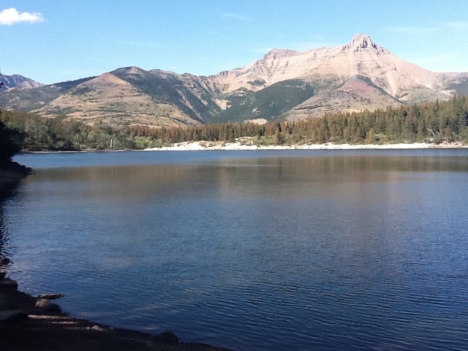
The path passes lodgepole pine forest affected by the 2017 Kenow wildfire. Standing burned trunks and new growth share the hillsides, and the more open stretches bring views toward Anderson Peak and Mount Blakiston. It is a changing foreground on an otherwise short approach.

Two views over the gorgeAt the canyon rim, a boardwalk reaches metal viewing platforms above the falls.

At the canyon rim, a boardwalk reaches metal viewing platforms above the falls. One gives a wider look across the waterfall, gorge and valley; the closer platform looks upstream at Blakiston Creek dropping over rock steps. The falls take their name from Lieutenant Thomas Blakiston, an early European explorer of Waterton. Stay on the built platforms above the steep gorge.

Access and dogsThe lower lot has a kitchen shelter; food service and drinking water were not confirmed.

The lower lot has a kitchen shelter; food service and drinking water were not confirmed. Red Rock Parkway closes to vehicles seasonally, typically October through May depending on weather, so check road access before setting out. Dogs are allowed on the trail but must stay leashed and under control.

Wildlife

Wildlife in Waterton Lakes

All Waterton Lakes wildlife maps

Sighting maps show where each species has been reported across Waterton Lakes. Wildlife moves, so no sighting is guaranteed.

Keep exploring

Near Blakiston Falls Trail

See it all on the map

Trails that start nearby

Places near the trailhead

Parkwolf’s Waterton Lakes ranking

Top-rated trails in Waterton Lakes

All 47 trails
  1. 1Crypt Lake TrailChallenging · 17.1 km
  2. 2Carthew-Alderson TrailChallenging · 20.1 km
  3. 3Bear’s Hump TrailModerate · 2.9 km
  4. 4Bertha Lake TrailModerate · 10.3 km
  5. 5Lineham RidgeChallenging · 17.2 km
  6. 6Upper Rowe Lake TrailModerate · 12.8 km

Take Parkwolf to Waterton Lakes.

The audio tour guide for the drive, plus offline maps, trails, and wildlife heatmaps for when the signal drops.

4.7 from 8,600+ ratings

Download Parkwolf on the App StoreGet Parkwolf on Google Play