Parking
Park at Akamina Pass Trailhead on the right side of Akamina Parkway, about 14 km from Waterton townsite.
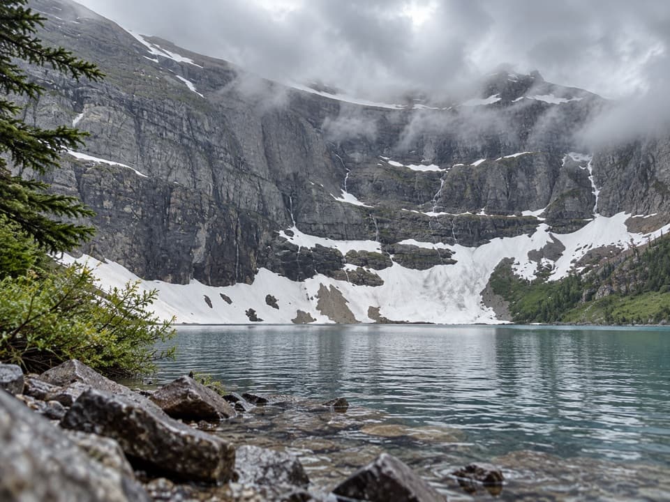
#9 of 47 trails in Waterton Lakes
Waterton Lakes National Park, AB
A cross-border walk from Akamina Pass to a lake beneath sheer cliffs.
Overview
Wall Lake Trail is a 10.4 km (6.5 mi) return out-and-back from Akamina Pass Trailhead on Akamina Parkway to Wall Lake in British Columbia’s Akamina-Kishinena Provincial Park. The walk starts in Waterton Lakes National Park, crosses Akamina Pass and finishes at the shore beneath sheer headwalls. Count 5.2 km one way; you return on the same corridor, and this distance does not add the Forum Lake or Forum Falls branch. It is moderate; allow about 4–5 hours with time at the lake.
Near the end, the route opens across avalanche paths and the headwalls come into view before the shore. The mapped walk reaches Wall Lake’s northeast shore below steep rock walls; it does not include a circuit around the lake. The lake and its cliffs reward the long approach. For a photo, include a little rocky shoreline in the foreground to give the walls scale; reflections are more likely when the water is still. Rainbow trout live here, and fishing requires a British Columbia licence.
 Parkwolf’s verdictThe lake is the payoff
Map & elevation
Plan your hike

The highest, rockiest slopes around here are a summer buffet for grizzly bears.
Waterton Lakes Tour Guide
Parkwolf is a GPS audio tour guide for Waterton Lakes National Park. As you drive, it chimes in with what’s ahead: hidden gems, upcoming stops, history, geology, and wildlife, right through your car’s speakers.
See the Waterton Lakes audio tourRecorded for this trailhead
Akamina Pass and Wall Lake“Up ahead is the Akamina Pass trailhead, the start of a moderate hike to Wall Lake beneath sheer cliffs.”
Plays as you drive up to this trailhead in the Parkwolf Waterton Lakes Tour Guide.
More stories near here in the app
“Fantastic app with many points of information… It’s great to just turn on while you’re driving and it gives you an audio tour of the national Park. We love it!!!!”


Trail guide
The wide roadbed climbs steadily from the trailhead. The first 2.5 km gains about 125 m to Akamina Creek campground, with the grade easing near the pass. The Alberta–British Columbia boundary is about 1.5 km in. This old roadbed was built in the 1920s as part of a route intended to cross the park toward the Flathead River valley. The first climb is the main sustained effort, but the lake is still several kilometres beyond the pass.
Akimina Creek backcountry campground is about 2.4 km from the trailhead. It has an outhouse, tent pads and a food cache for registered campers; the cache is not a day-hiker supply. Beyond it, the Wall Lake route skirts the end of a forested ridge and stays close to the same elevation as it contours toward the lake. It is a natural backcountry path, not a maintained lakeside promenade. Follow the signed hiking route at the Wall Lake fork; horseback riders use a separate trail.
There is no potable water in Akamina-Kishinena Provincial Park. Bring your own, or treat or boil stream water before drinking. The pass is exposed and mountain weather changes quickly; summer storms can bring lightning, hail or snow. Pets must stay leashed and off beaches and out of park buildings in British Columbia. Parks Canada says the backcountry setting is not suitable for dogs because of bears and other wildlife, so this is a poor choice for a dog that needs shoreline access.
Park at Akamina Pass Trailhead, on the right side of Akamina Parkway about 14 km from Waterton townsite. This is the start for the 10.4 km return. The separate 2 km Wall Lake access described from Akamina Road near a ranger station, and the longer route combining Wall and Forum lakes, are different hikes. Check both jurisdictions’ trail reports before leaving because the route crosses between Waterton and the provincial park.
Wildlife
 83 sightingsBisonMost seen around 7 PMSighting map
 563 sightingsBlack BearMost seen around 6 PMSighting map
 146 sightingsElkMost seen around 7 PMSighting map
 113 sightingsBighorn SheepMost seen around 7 PMSighting map
 55 sightingsBald EagleMost seen around 9 AMSighting map
 53 sightingsTrumpeter SwanMost seen around 6 PMSighting map
Sighting maps show where each species has been reported across Waterton Lakes. Wildlife moves, so no sighting is guaranteed.
Keep exploring
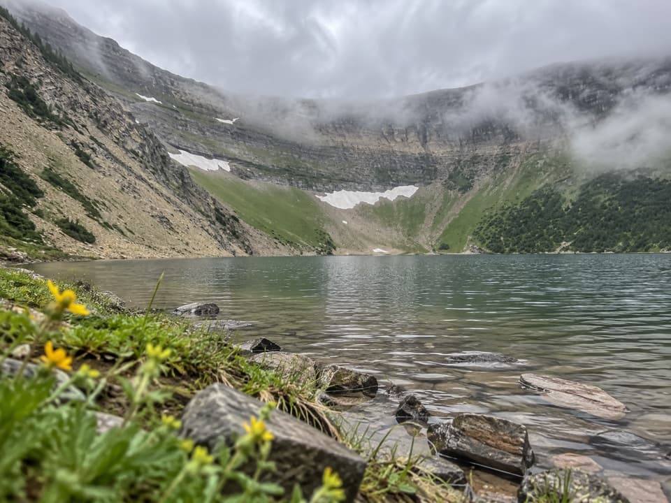 ModerateForum Lake Trail9 km · 3.5 hr · At the trailheadColourful ancient limestone makes the lake shore worth the climb.
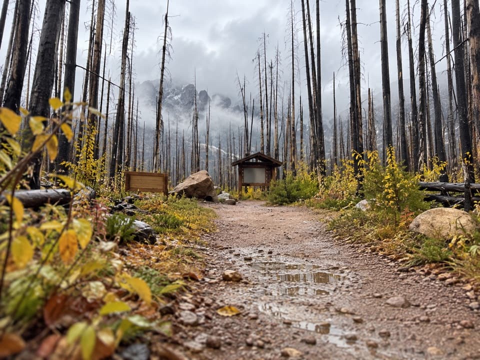 ModerateAkamina Pass Trail3.1 km · 1 hr · At the trailheadA short climb to the Alberta–B.C. boundary.
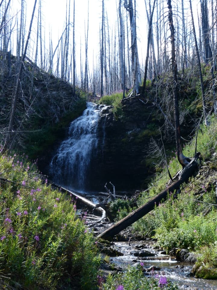 ModerateForum Falls Trail5 km · 2 hr · At the trailheadA smaller waterfall goal before the longer Forum Lake hike.
 ChallengingCarthew-Alderson Trail20.1 km · 8 hr · 1.2 km awayCross a high shale saddle, then descend through lakes to town.
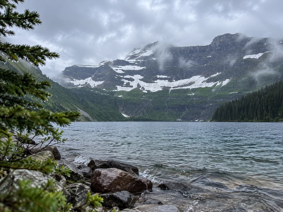 EasyCameron Lakeshore Trail3.1 km · 1 hr · 1.2 km awayAn easy shore walk beneath a broad Continental Divide headwall
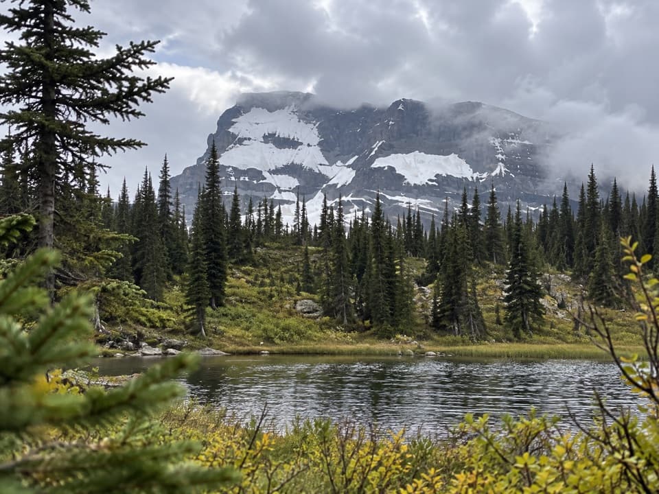 ModerateSummit Lake Trail8 km · 3 hr · 1.2 km awayClimb forest switchbacks from Cameron Lake to a subalpine lake.
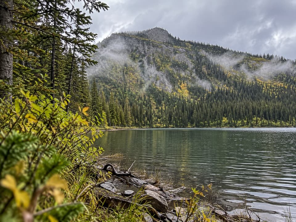 EasyAkamina Lake Trail1.1 km · 30 min · 1.2 km awayA short forest walk ends beside a sheltered subalpine lake.ChallengingCarthew Lakes Trail18.6 km · 8 hr · 1.2 km awayThree alpine lakes, with a hard climb on the way back.
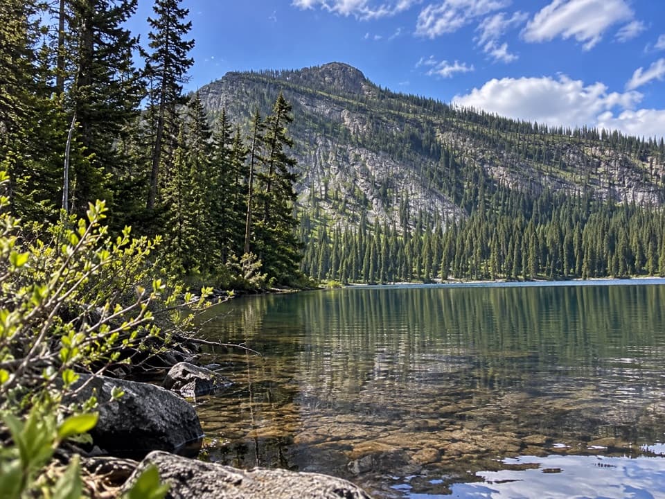 Sight · 0.8 km awayAkamina LakeAn easy half-hour detour to a sheltered subalpine lake.
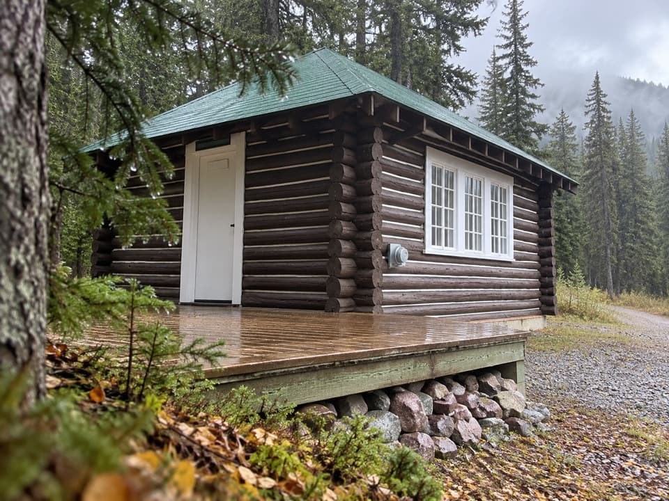 Lodging · 0.9 km awayCameron Lake CabinA winter stay in Waterton’s 1929 warden cabin.
 Sight · 1.2 km awayCameron LakeMountain reflections right at the parking area.
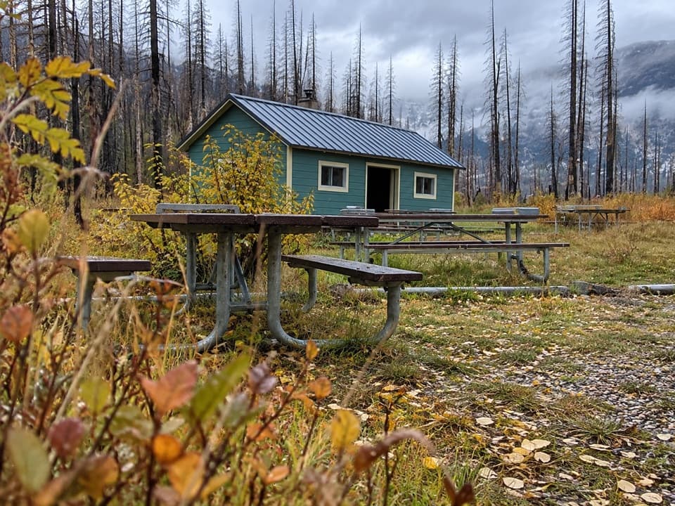 Picnic area · 1.4 km awayLittle Prairie Day Use AreaA useful picnic stop that becomes the winter road's end.
 Sight · 2.5 km awayUpper Rowe LakesA meadow and alpine lakes at the end of steep switchbacks.
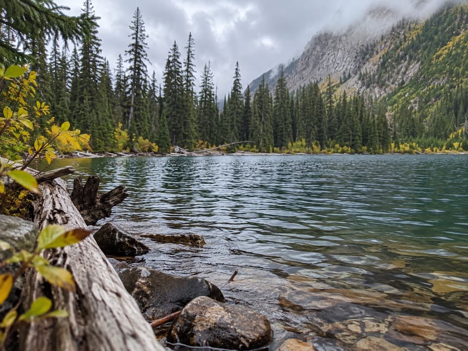 Sight · 2.8 km awayLower Rowe LakeA small alpine lake beneath steep cliffs, reached by a moderate hike.
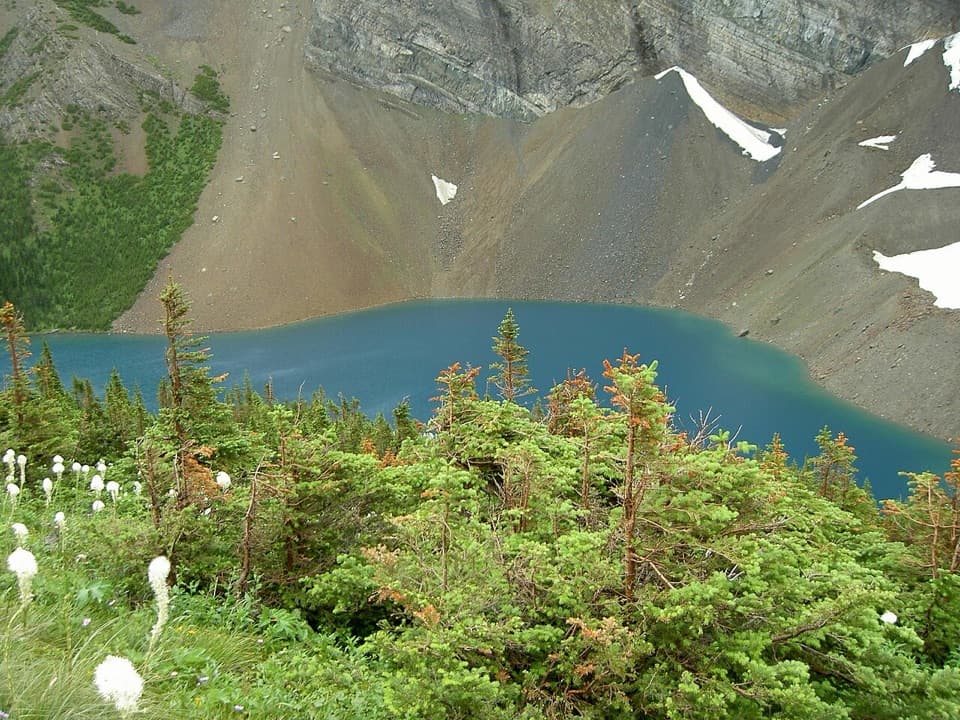 Sight · 4.9 km awayAlderson LakeBlue water, high cliffs, and an all-day hike to get there.
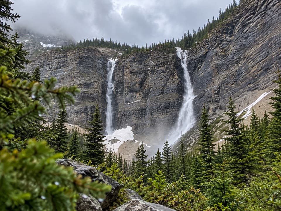 Sight · 5.4 km awayLineham FallsA moderate hike to twin falls beneath two high peaks.
Parkwolf’s Waterton Lakes ranking
The audio tour guide for the drive, plus offline maps, trails, and wildlife heatmaps for when the signal drops.



