Check access before you go
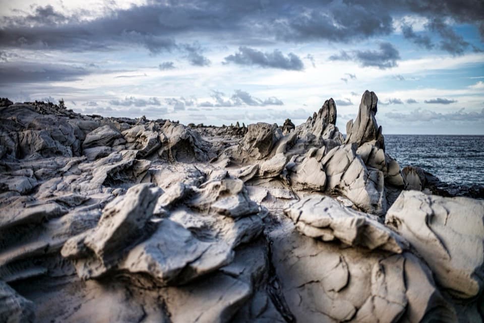
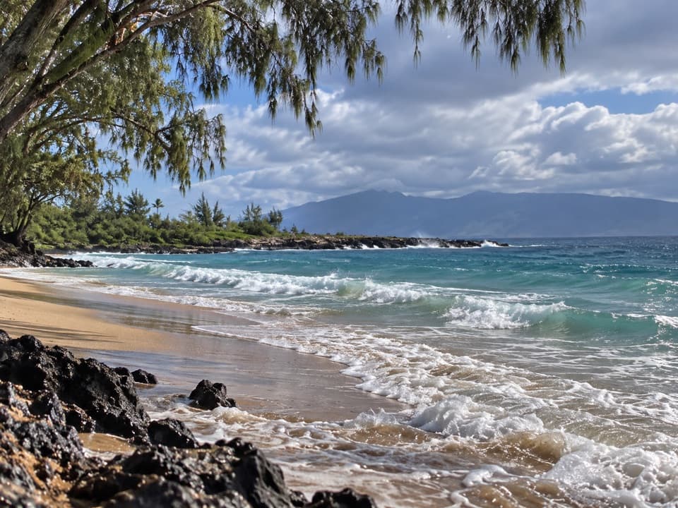
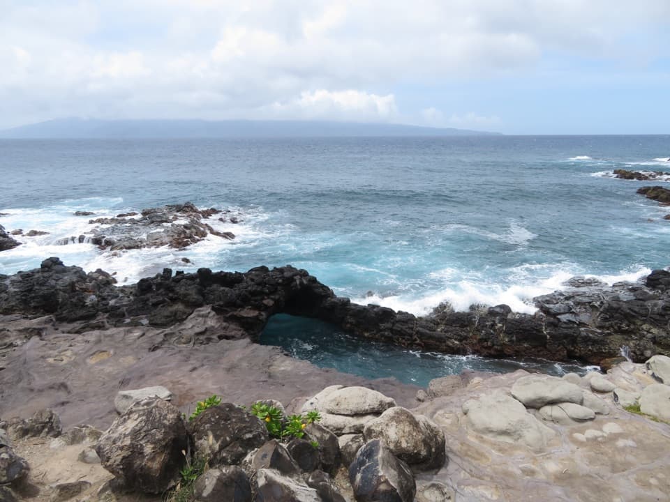
The map pin marks the cape, not a confirmed public trailhead. I couldn't verify a designated public route or legal parking from Honoapiʻilani Highway. DLNR’s Nā Ala Hele guidance says to use only listed official trails, so check its current trail list before planning a walk and don't follow unmarked tracks. Sources describe rough dirt access and uneven shore paths, but they disagree on route length. From a lawful vantage point, keep some of the rocky point in the foreground to show its shape against the bay.