
Place · 0.3 mi away
Moderate
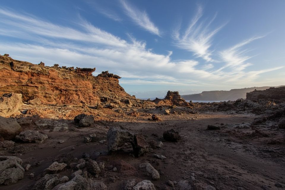
This short-but-spicy coastal hike rides the wave-cut lava benches on the northwest tip of Maui to the thundering Nakalele Blowhole. Expect sharp, uneven ʻaʻā underfoot, wind, and zero shade. Most hikers cover about 2.0 miles total as a loop in 1–2 hours (easy–moderate). A shorter out-and-back of roughly 1.3 miles and ~200–213 feet of gain gets you to the action faster, but you’ll skip some of the best scenery.
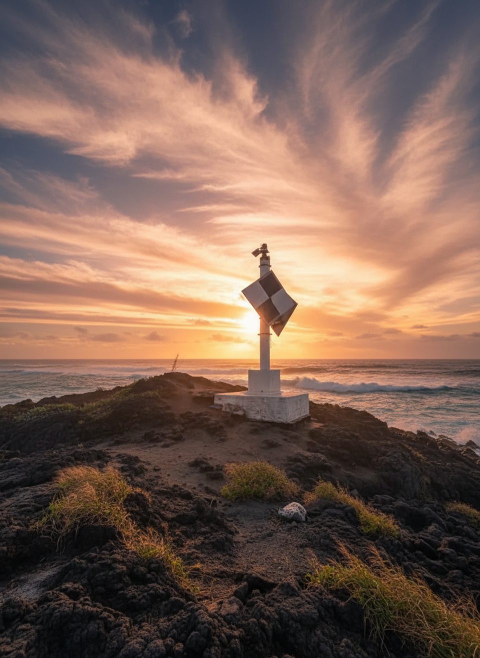
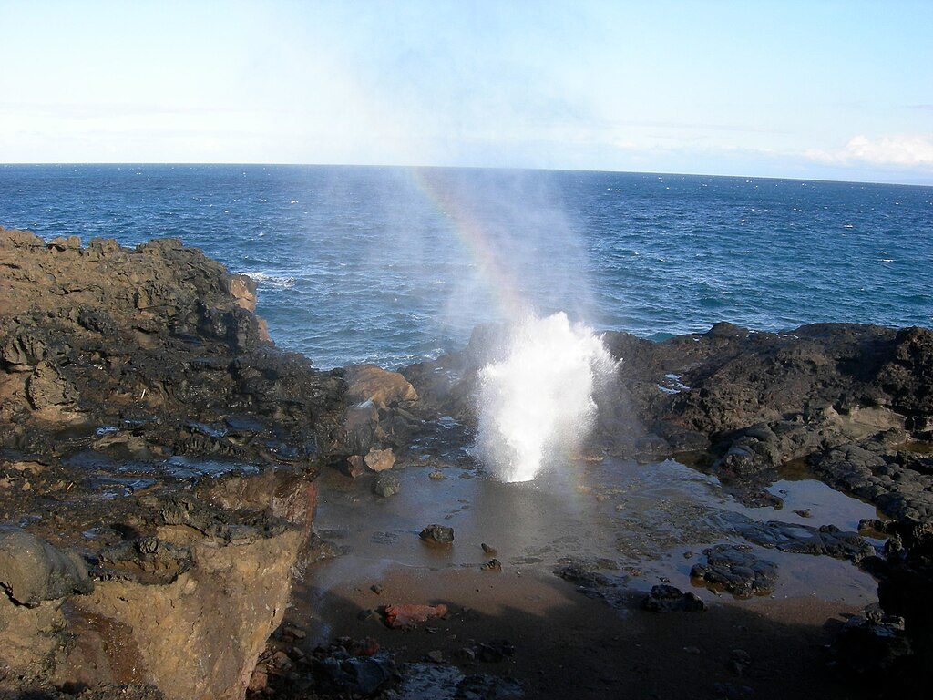
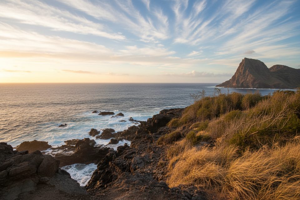
Start from the dirt pullout near mile marker 38 on Kahekili Highway. Follow rough dirt tracks toward the ocean to the Coast Guard light at Nākālele Point, then traverse southeast over jagged, ocean-sculpted lava—the barren, blasted look that inspired the “Acid War Zone” nickname. You’ll pass tidepools, small “bonus” blowholes, and big views toward Moloka‘i before reaching the main Nakalele Blowhole, which can launch spray 30–50+ feet depending on swell. The once-famous heart-shaped rock here has collapsed from surf erosion. From the blowhole, you can either climb the short, steep path to the blowhole parking area and road-walk back to MM 38 to complete a loop, or simply retrace your steps.
Primary start is the unmarked dirt pullout just past mile marker 38. An alternate is the signed blowhole lot farther southeast with a direct, steeper descent. Parking is limited and informal. Car break-ins have been reported at roadside pullouts—take valuables with you and keep your vehicle buttoned up.
This coastline is no joke. Rogue waves and the blowhole’s force are unpredictable; people have been seriously injured and killed here. Stay well back from wet, wave-washed rock and the rim of the blowhole. There are no guardrails. The lava is sharp and loose—wear grippy, closed-toe shoes. After rain, expect slick rock and muddy ruts near the start. Supervise kids closely and keep pets leashed if you bring them.
Mornings are cooler and often less crowded. The blowhole is typically most active with higher tides and bigger surf—but that also ramps up the danger. Enjoy the show from a conservative distance.
Bring water, sun protection, and a light wind layer. The path is unmarked in places and cell service can be unreliable—download an offline map and follow the most-used tracks near the shore. If you only want the blowhole, use the blowhole lot for a quick out-and-back; for the fuller experience, start from MM 38. Don’t count on restrooms at the trailheads.
Small dirt pullout just past mile marker 38 on Kahekili Hwy; alternate parking at the Nakalele Blowhole lot with a short, steep path down. Space is limited; secure valuables.
Keep a wide berth from the blowhole and any wet or wave-washed rock—rogue waves are common and there are no guardrails. Sharp, uneven lava requires sturdy closed-toe shoes. Navigation is unmarked; download maps. Car break-ins have been reported.
Place · 0.3 mi away
Place · 0.4 mi away
Place · 1.2 mi away
Place · 2.1 mi away
Easy · 1.4 mi away
Moderate · 2.8 mi away
Challenging · 4 mi away
Challenging · 4 mi away

Parkwolf Tour Guide
