1 active Westland Tai Poutini alert
- CautionActive landslide zones on Copland TrackDo not stop in either of Copland Track’s signposted active landslide zones; take extra care during and after heavy rain.Official details

Sight · Westland Tai Poutini National Park
An 1865 gold-rush hotel still serves as a village gathering place.
Overview
Donovan’s Store is a small historic building in the coastal settlement of Ōkārito, built as the Club Hotel during the first months of the 1865 gold rush. It is the oldest known building on the West Coast and a worthwhile stop for its history; the store itself is no longer a grocery shop.
 Parkwolf’s verdictA gold-rush building worth a short stop
Map
Plan your stop

The highest, rockiest slopes around here are a summer buffet for grizzly bears.
Westland Tai Poutini Tour Guide
Parkwolf is a GPS audio tour guide for Westland Tai Poutini National Park. As you drive, it chimes in with what’s ahead: hidden gems, upcoming stops, history, geology, and wildlife, right through your car’s speakers.
See the Westland Tai Poutini audio tourRecorded for this place
Ōkārito Wharf: a Gold-Rush Port“You're nearing Ōkārito Wharf, a short stop for lagoon views and a glimpse of the village's gold-rush past. Walk over to the old boatshed and its information panels.”
Plays as you drive up to Donovan’s Store in the Parkwolf Westland Tai Poutini Tour Guide.
More stories near here in the app
“Fantastic app with many points of information… It’s great to just turn on while you’re driving and it gives you an audio tour of the national Park. We love it!!!!”


Guide
The pale front gable, turquoise door and “Jas. Donovan Storekeeper” lettering make the building easy to recognize. Its red corrugated side and picket fence show the modest scale of the place. For a clear exterior photo, frame the front gable and lettering together.
Gold found in the black-sand beaches brought a quick boom to Ōkārito, but the settlement declined as miners worked the sands out by the end of 1867. In the 1890s James and Eva Donovan converted the hotel into a general store and ran it for about 60 years. The Robertson family took ownership in the 1950s; the property was bequeathed to the Crown in 1987.
Restoration began in 1994 with the local community association and is not complete. The building is used for community events, as a library, and for performances and exhibitions. Regular public visiting hours are not listed, so confirm access before planning to go inside. Ōkārito has no shops or service stations; bring groceries and fuel with you.
Wildlife
 89 sightingsKeaMost seen around 10 AMSighting map
 10 sightingsBlue DuckMost seen around 5 PMSighting map
 80 sightingsKererūMost seen around 7 AMSighting map
 38 sightingsTūīMost seen around 5 AMSighting map
 10 sightingsNew Zealand FalconMost seen around 10 AMSighting map
 28 sightingsYellow-crowned ParakeetMost seen around 8 AMSighting map
Sighting maps show where each species has been reported across Westland Tai Poutini. Wildlife moves, so no sighting is guaranteed.
Keep exploring
 EasyŌkārito Wetland Walk1 km · 20 min · 0.2 km awayA curving boardwalk leads to a bench overlooking the lagoon.
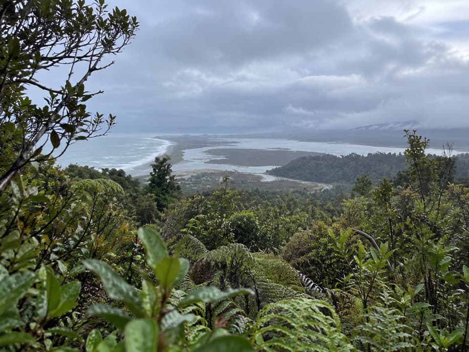 ModerateŌkārito Trig Walk4.2 km · 1.5 hr · 0.3 km awayShort climb, then lagoon, coast and Southern Alps in one view.
 ModerateThree Mile Pack Track - Ōkārito Coastal Walk9.8 km · 3.5 hr · 0.3 km awayWind-shaped forest leads over a bluff to a lagoon bridge.
 EasyPakihi Walk1 km · 30 min · 4.5 km awayA quick swamp and forest walk ends in a mountain view.
 Campground · 0.2 km awayŌkārito Community CampgroundA friendly coastal base for Ōkārito's beach, lagoon and walks.
 Lodging · 0.3 km awayŌkārito School HouseSleep in a former village school, now a 12-person heritage lodge.
 Sight · 0.3 km awayŌkārito WharfA historic lagoon wharf with gold-rush stories and mountain views.
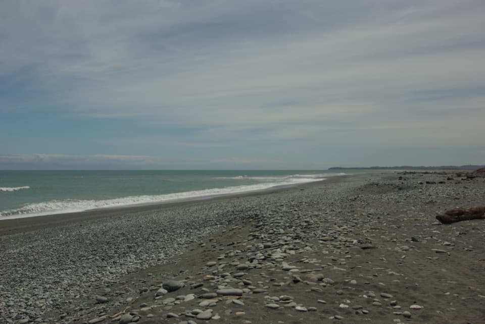 Beach · 0.8 km awayŌkārito BeachA wild, stony Tasman shore beside Ōkārito Lagoon.
 Sight · 1.3 km awayŌkārito TrigA bush climb opens onto lagoon, coast and alpine peaks.
 Sight · 3.7 km awayThree Mile LagoonA forest-fringed estuary at the end of an old gold-rush track.
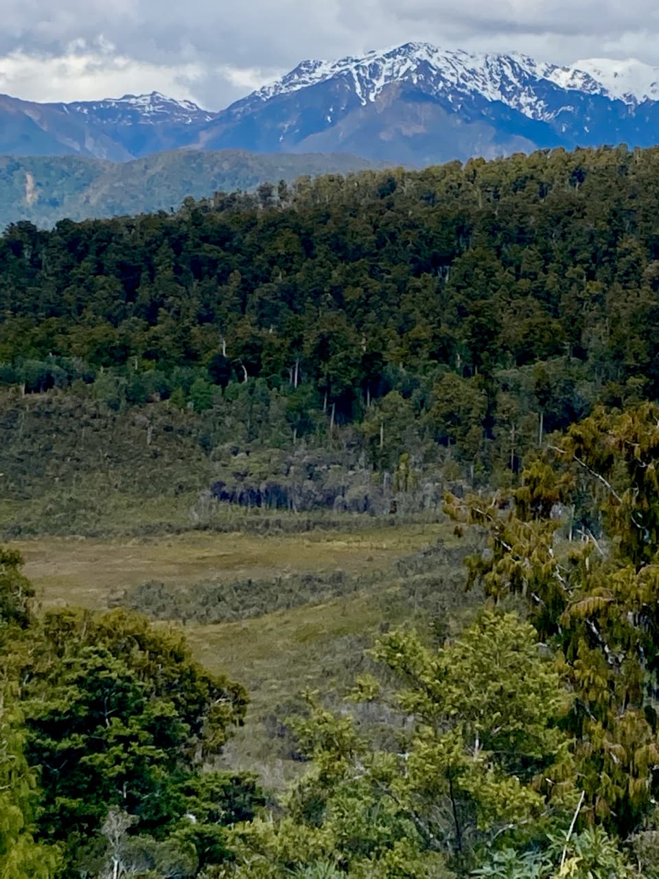 Sight · 4.3 km awayPakihi LookoutA short, steep climb opens onto wetland, forest and snowy peaks.
Parkwolf’s Westland Tai Poutini ranking
The audio tour guide for the drive, plus offline maps, trails, and wildlife heatmaps for when the signal drops.