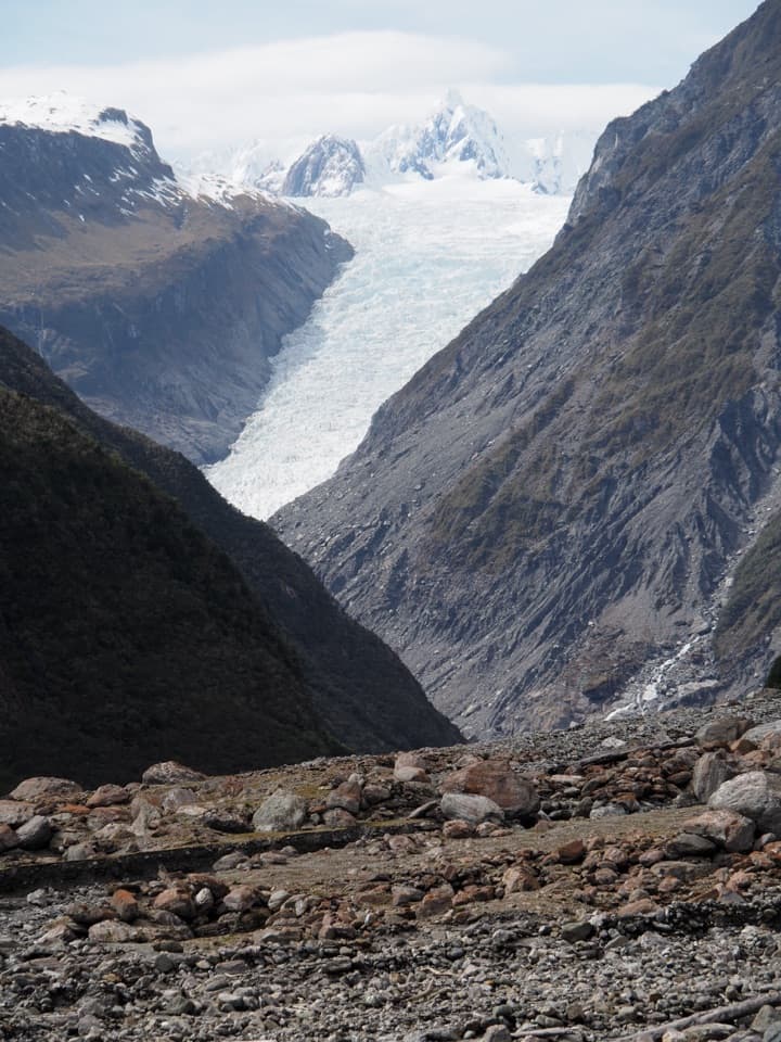
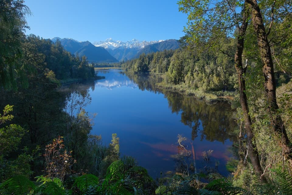
Ōkārito Wharf in Westland Tai Poutini National Park

Sight · Westland Tai Poutini National Park

Ōkārito Wharf

A historic lagoon wharf with gold-rush stories and mountain views.

Photo: Wikimedia Commons
Type
Sight
Nearest trail
0.6 km
Audio stories
3 nearby
  • Exhibit
  • Parking
  • Scenic viewpoint
  • #11 of 35 sights

Hear the audio tour

Ōkārito Wharf: a Gold-Rush Port

Overview

About Ōkārito Wharf

Why stop

  • Interpretation panels and a vivid gold-rush port story
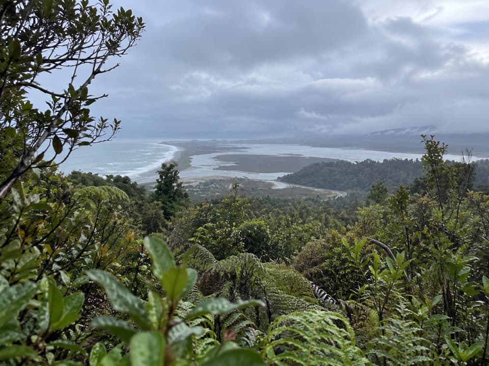
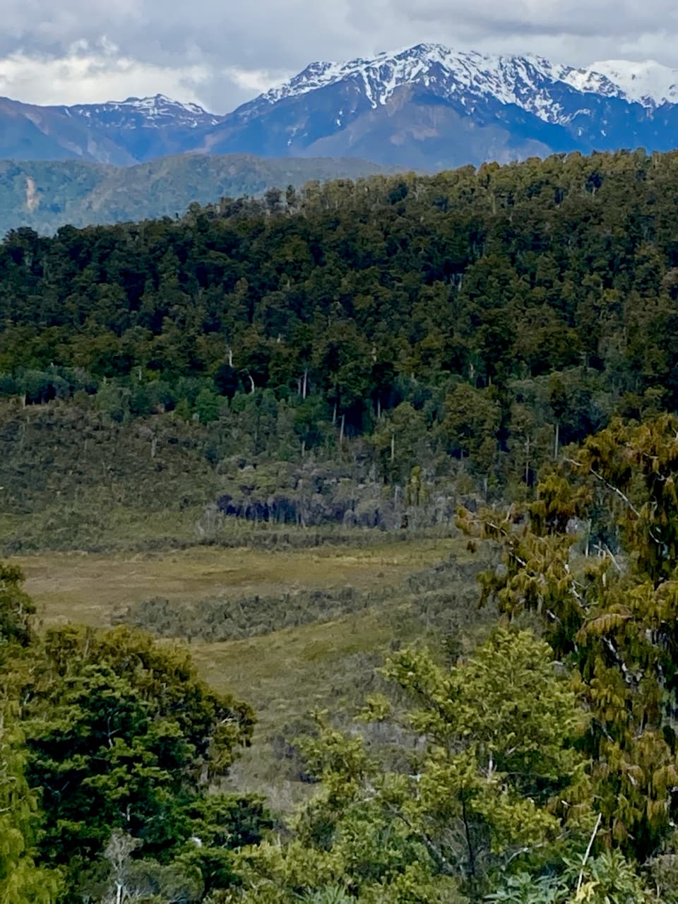
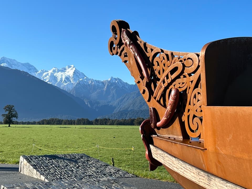
  • Quiet lagoon views, with the Southern Alps on clear days

Heads up

  • The wharf is a short visit unless you add a separate lagoon outing

Map

Where it is

Loading the Westland Tai Poutini map
Full map
SightŌkārito Wharf-43.22128, 170.16887
Keep this map with you offline in the Parkwolf app

Plan your stop

Before you go

Getting there

Turn off State Highway 6 about 15 kilometres north of Franz Josef township, then follow Wharf Street through Ōkārito. The village road is surfaced and the gravel parking area is close to the wharf. Public toilets, potable water and step-free access at the wharf weren’t confirmed, so check locally if you need them.

1 active Westland Tai Poutini alert

  • CautionActive landslide zones on Copland TrackDo not stop in either of Copland Track’s signposted active landslide zones; take extra care during and after heavy rain.Official details
Westland Tai Poutini alerts
A park ranger sits on a dash-mounted phone, talking, as Parkwolf’s Tour Guide plays “Army Cutworm Moths: A Grizzly Bear Buffet” on Grand Loop Road below Dunraven Pass in Yellowstone
Parkwolf Tour GuideThe highest, rockiest slopes around here are a summer buffet for grizzly bears.

Westland Tai Poutini Tour Guide

Your drive to Ōkārito Wharf, narrated.

Parkwolf is a GPS audio tour guide for Westland Tai Poutini National Park. As you drive, it chimes in with what’s ahead: hidden gems, upcoming stops, history, geology, and wildlife, right through your car’s speakers.

See the Westland Tai Poutini audio tour

Recorded for this place

Ōkārito Wharf: a Gold-Rush Port
0:00 / 0:32
“You're nearing Ōkārito Wharf, a short stop for lagoon views and a glimpse of the village's gold-rush past. Walk over to the old boatshed and its information panels.”

Plays as you drive up to Ōkārito Wharf in the Parkwolf Westland Tai Poutini Tour Guide.

More stories near here in the app

  • Ōkārito Walks: the Trig or the Wetland
  • Rowi Keep the Family Together
  • Pakihi Walk: Wetland, Forest and Mountains
  • Why Pakihi Stays Open
  • 49 audio storiesacross Westland Tai Poutini’s roads, triggered by GPS as you drive
  • Wildlife heatmapsfor Kea, Blue Duck, Kererū, and 13 more
  • Works offlinemaps, 31 trails, 53 places, and audio download before you lose signal
  • CarPlay readysimple controls built for the drive
★★★★★
“Fantastic app with many points of information… It’s great to just turn on while you’re driving and it gives you an audio tour of the national Park. We love it!!!!”
JMJamesApp Store review
Download Parkwolf on the App StoreGet Parkwolf on Google Play

4.7 from 8,600+ ratings

Guide

More about Ōkārito Wharf

The wharfŌkārito Wharf is a historic timber wharf and boatshed at the edge of Ōkārito Lagoon.

Ōkārito Wharf is a historic timber wharf and boatshed at the edge of Ōkārito Lagoon. It’s an easy heritage stop for the old shed, its interpretation panels and the story of the port that once served the West Coast gold rush. The wharf itself is a brief visit; add a boat or kayak outing if you want to explore beyond the shore.

At the water’s edgeA gravel car park is about 30 metres from the wharf.

A gravel car park is about 30 metres from the wharf. The shed and old pilings stand over lagoon water beside a floating jetty. Visitors often mention the peaceful feel and broad lagoon views; on clear days, the Southern Alps appear beyond the coastal landscape. For a photo, frame the weathered shed and pilings against the water, with the mountains in the distance when they’re visible.

A port built by goldGold found on nearby black-sand beaches in 1865 helped turn Ōkārito into a major port.

Gold found on nearby black-sand beaches in 1865 helped turn Ōkārito into a major port. By early 1866 about 1,500 people lived here, while another 2,500 sought gold at nearby Three Mile and Five Mile beaches. The black-sand rush faded within eighteen months and the settlement was nearly deserted. Ōkārito had been the West Coast’s third-largest port; the wharf later served flax and timber exports.

A much older lagoon historyMāori communities have lived and gathered seasonal food around the lagoon for more than 600…

Māori communities have lived and gathered seasonal food around the lagoon for more than 600 years. Ngāti Wairangi used it as a whare wānanga, a place of learning, and Ngāti Māhaki hold mana whenua today.

Wetland wildlifeŌkārito Lagoon is described as the country’s largest unmodified wetland, with more than 70 bird…

Ōkārito Lagoon is described as the country’s largest unmodified wetland, with more than 70 bird species recorded on lagoon outings. Its waters support tuna (eel), īnanga (whitebait), upokoroa (grayling) and pātiki (flounder). The rare kōtuku (white heron) feeds here and breeds at nearby Waitangi-roto, New Zealand’s only kōtuku breeding colony. A heron sighting from the wharf isn’t guaranteed.

Wildlife

Wildlife in Westland Tai Poutini

All Westland Tai Poutini wildlife maps

Sighting maps show where each species has been reported across Westland Tai Poutini. Wildlife moves, so no sighting is guaranteed.

Parkwolf’s Westland Tai Poutini ranking

Top sights in Westland Tai Poutini

All 53 places
  1. 1Lake Matheson Jetty LookoutSight
  2. 2Te Kopikopiko o te WakaSight
  3. 3Sentinel RockSight
  4. 4Fox Glacier South Side ViewpointSight
  5. 5View of Views LookoutSight
  6. 6Reflection IslandSight

Take Parkwolf to Westland Tai Poutini.

The audio tour guide for the drive, plus offline maps, trails, and wildlife heatmaps for when the signal drops.

4.7 from 8,600+ ratings

Download Parkwolf on the App StoreGet Parkwolf on Google Play