1 active Westland Tai Poutini alert
- CautionActive landslide zones on Copland TrackDo not stop in either of Copland Track’s signposted active landslide zones; take extra care during and after heavy rain.Official details

Sight · Westland Tai Poutini National Park
A bush climb opens onto lagoon, coast and alpine peaks.
Overview
Map
Plan your stop

The highest, rockiest slopes around here are a summer buffet for grizzly bears.
Westland Tai Poutini Tour Guide
Parkwolf is a GPS audio tour guide for Westland Tai Poutini National Park. As you drive, it chimes in with what’s ahead: hidden gems, upcoming stops, history, geology, and wildlife, right through your car’s speakers.
See the Westland Tai Poutini audio tourRecorded for this place
Ōkārito Walks: the Trig or the Wetland“Up ahead is the start of the Ōkārito walks, beside the old schoolhouse.”
Plays as you drive up to Ōkārito Trig in the Parkwolf Westland Tai Poutini Tour Guide.
More stories near here in the app
“Fantastic app with many points of information… It’s great to just turn on while you’re driving and it gives you an audio tour of the national Park. We love it!!!!”


Guide
Ōkārito Trig is the viewpoint above the small coastal village of Ōkārito. The 4.2 km return walk takes about 1½ hours and opens to a broad view from Ōkārito Lagoon and the coast, across native forest to the snowy Southern Alps. It’s a good pick for a short walk with a big landscape payoff; make it a clear-weather stop if the mountains are the draw.
Start at the village car park beside the Ōkārito School House on The Strand. From Franz Josef, drive 15 km north on State Highway 6, then take the sealed 13 km road to Ōkārito. The walk first follows the Wetland Walk and Three Mile Pack Track; turn left at the trig branch after about 10–15 minutes. From there, it keeps climbing on a formed track. It’s graded easy to intermediate, but the steady uphill can feel steeper than that suggests. Dogs aren’t allowed. Wet-weather gear and insect repellent are useful on West Coast walks.
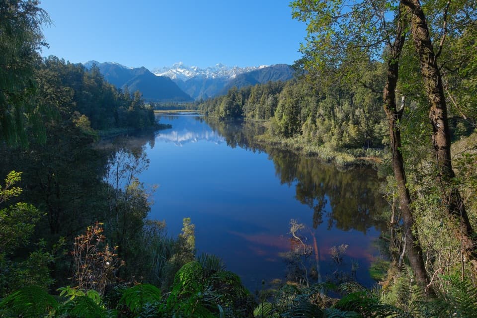
The view stacks the coastal lagoons and long beach below, native forest through the middle, and snow-covered peaks beyond. When cloud closes over the mountains, much of the biggest panorama disappears. For a photo, frame the lagoon channels and ocean beach together with the forest along the bottom edge; that shows how the wetland meets the coast.
Ōkārito was once a gold-mining boom town; around 30 people live there permanently today. From the viewpoint, the settlement is a small part of a much wider landscape of lagoon, beach and forest. It’s a useful bit of context to keep in mind when you return to the village.
Wildlife
 89 sightingsKeaMost seen around 10 AMSighting map
 10 sightingsBlue DuckMost seen around 5 PMSighting map
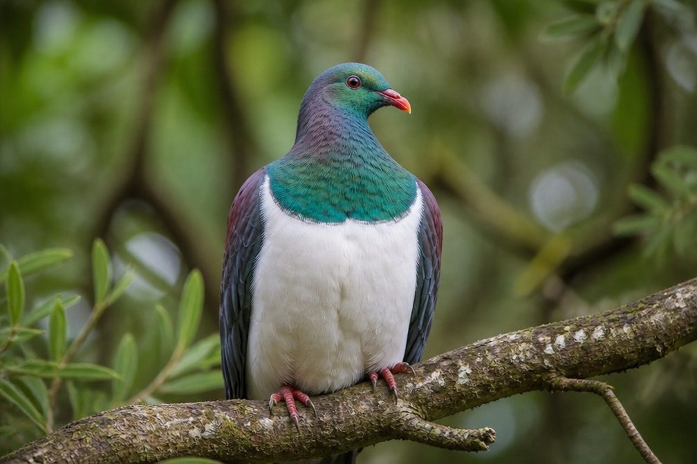 80 sightingsKererūMost seen around 7 AMSighting map
 38 sightingsTūīMost seen around 5 AMSighting map
 10 sightingsNew Zealand FalconMost seen around 10 AMSighting map
 28 sightingsYellow-crowned ParakeetMost seen around 8 AMSighting map
Sighting maps show where each species has been reported across Westland Tai Poutini. Wildlife moves, so no sighting is guaranteed.
Keep exploring
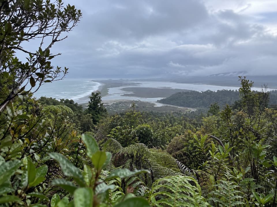 ModerateŌkārito Trig Walk4.2 km · 1.5 hr · 1 km awayShort climb, then lagoon, coast and Southern Alps in one view.
 ModerateThree Mile Pack Track - Ōkārito Coastal Walk9.8 km · 3.5 hr · 1 km awayWind-shaped forest leads over a bluff to a lagoon bridge.
 EasyŌkārito Wetland Walk1 km · 20 min · 1 km awayA curving boardwalk leads to a bench overlooking the lagoon.
 EasyPakihi Walk1 km · 30 min · 4.6 km awayA quick swamp and forest walk ends in a mountain view.
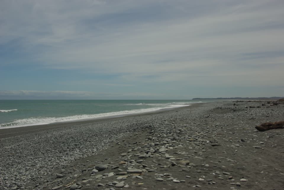 Beach · 0.8 km awayŌkārito BeachA wild, stony Tasman shore beside Ōkārito Lagoon.
 Lodging · 1 km awayŌkārito School HouseSleep in a former village school, now a 12-person heritage lodge.
 Campground · 1.1 km awayŌkārito Community CampgroundA friendly coastal base for Ōkārito's beach, lagoon and walks.
 Sight · 1.3 km awayDonovan’s StoreAn 1865 gold-rush hotel still serves as a village gathering place.
 Sight · 1.6 km awayŌkārito WharfA historic lagoon wharf with gold-rush stories and mountain views.
 Sight · 2.5 km awayThree Mile LagoonA forest-fringed estuary at the end of an old gold-rush track.
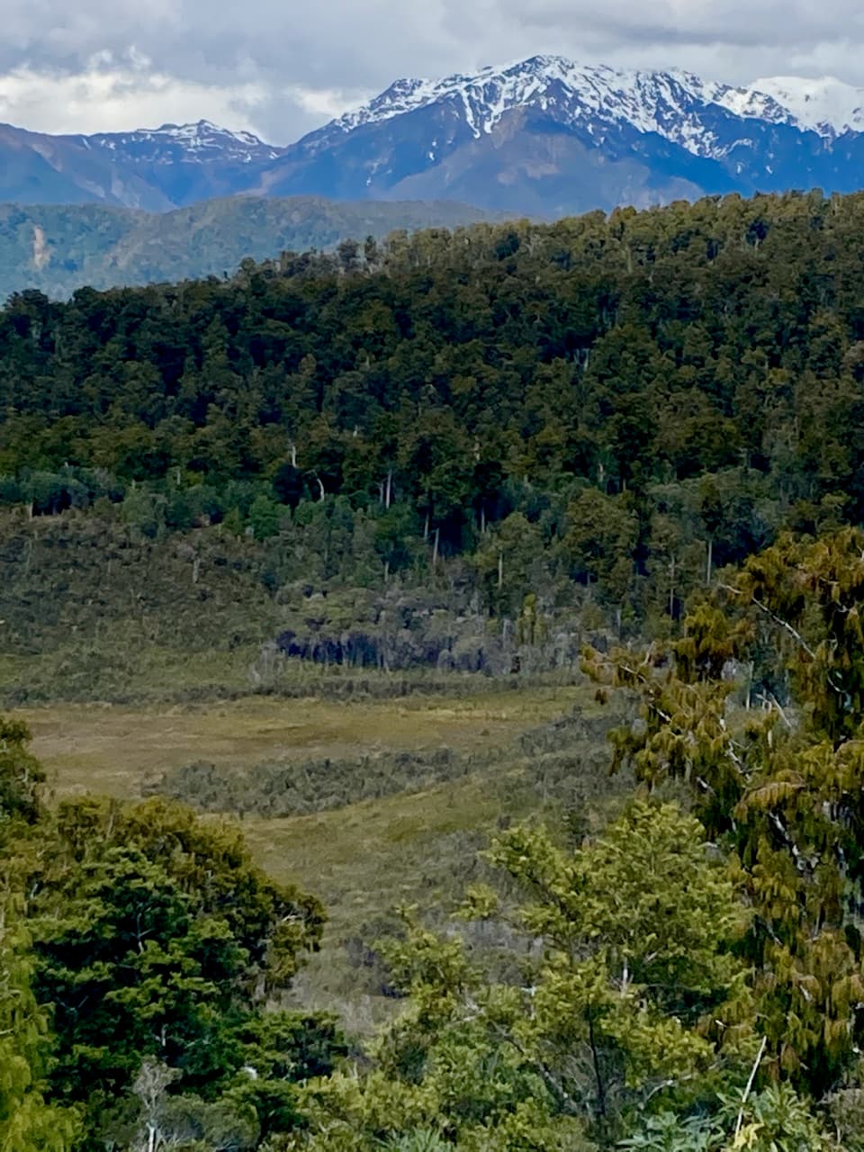 Sight · 4.4 km awayPakihi LookoutA short, steep climb opens onto wetland, forest and snowy peaks.
Parkwolf’s Westland Tai Poutini ranking

The audio tour guide for the drive, plus offline maps, trails, and wildlife heatmaps for when the signal drops.