1 active Westland Tai Poutini alert
- CautionActive landslide zones on Copland TrackDo not stop in either of Copland Track’s signposted active landslide zones; take extra care during and after heavy rain.Official details

Sight · Westland Tai Poutini National Park
A forest-fringed estuary at the end of an old gold-rush track.
Overview
Map
Plan your stop

The highest, rockiest slopes around here are a summer buffet for grizzly bears.
Westland Tai Poutini Tour Guide
Parkwolf is a GPS audio tour guide for Westland Tai Poutini National Park. As you drive, it chimes in with what’s ahead: hidden gems, upcoming stops, history, geology, and wildlife, right through your car’s speakers.
See the Westland Tai Poutini audio tourRecorded for this place
Ōkārito Walks: the Trig or the Wetland“Up ahead is the start of the Ōkārito walks, beside the old schoolhouse.”
Plays as you drive up to Three Mile Lagoon in the Parkwolf Westland Tai Poutini Tour Guide.
More stories near here in the app
“Fantastic app with many points of information… It’s great to just turn on while you’re driving and it gives you an audio tour of the national Park. We love it!!!!”


Guide
Three Mile Lagoon is a sheltered estuary edged with rimu forest, at the end of the Three Mile Pack Track south of Ōkārito. Set aside about half a day: the standard out-and-back is 9.8 km and around 3½ hours, graded easy to intermediate. The route starts on the Ōkārito Wetland Walk, climbs over Kohuamarua Bluff, then winds through wind-shaped rimu, rātā and silver pine before descending to the lagoon. Dogs aren't allowed.
A suspension bridge crosses the lagoon, and the track ends there. The standard route returns by the same track. A beach return to Ōkārito is possible when the tide allows; DOC recommends going within one hour either side of low tide. Tide height and storm surge can change conditions, and the beach walk to town takes about 1 hour 20 minutes. Visitors describe rocky shore and boulder scrambling in places, so check tide times and conditions before choosing the beach. Otherwise, retrace the pack track.
The pack track once linked Ōkārito with the gold settlements of Three Mile and Five Mile in the 1860s. At its peak, Ōkārito had about 4,000 residents, while roughly 2,500 miners sought gold along the coast to the south. Gold-era relics may still be found along the track or beach, so the walk follows an old working route as well as a forest trail.
The suspension bridge gives you a clear frame of the lagoon, forest fringe and mountains beyond. For a wider coastal scene, the beach route opens views along the shore; The coast is known for sunset views; if you plan to return by beach, let the tide window set your timing. New Zealand fur seals, or kekeno, are sometimes seen along the coast. Give any seal at least 20 metres of space.
Wildlife
 89 sightingsKeaMost seen around 10 AMSighting map
 10 sightingsBlue DuckMost seen around 5 PMSighting map
 80 sightingsKererūMost seen around 7 AMSighting map
 38 sightingsTūīMost seen around 5 AMSighting map
 10 sightingsNew Zealand FalconMost seen around 10 AMSighting map
 28 sightingsYellow-crowned ParakeetMost seen around 8 AMSighting map
Sighting maps show where each species has been reported across Westland Tai Poutini. Wildlife moves, so no sighting is guaranteed.
Keep exploring
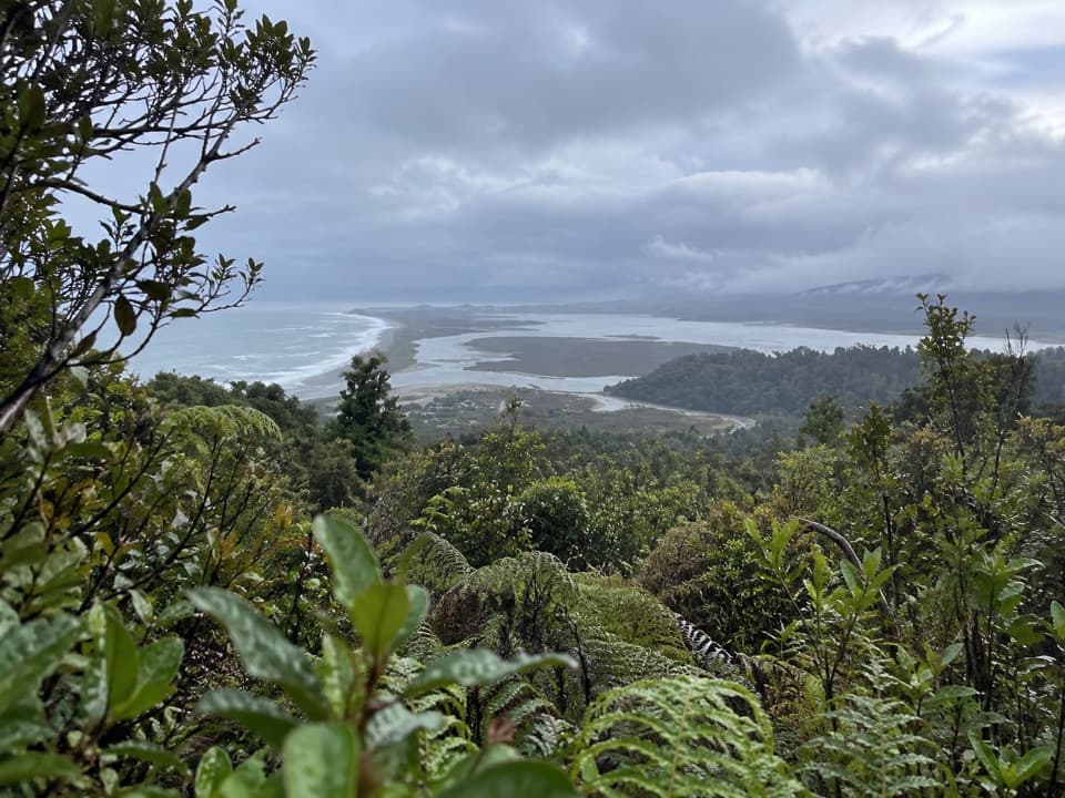 ModerateŌkārito Trig Walk4.2 km · 1.5 hr · 3.4 km awayShort climb, then lagoon, coast and Southern Alps in one view.
 ModerateThree Mile Pack Track - Ōkārito Coastal Walk9.8 km · 3.5 hr · 3.4 km awayWind-shaped forest leads over a bluff to a lagoon bridge.
 EasyŌkārito Wetland Walk1 km · 20 min · 3.5 km awayA curving boardwalk leads to a bench overlooking the lagoon.
 EasyPakihi Walk1 km · 30 min · 6.5 km awayA quick swamp and forest walk ends in a mountain view.
 Sight · 2.5 km awayŌkārito TrigA bush climb opens onto lagoon, coast and alpine peaks.
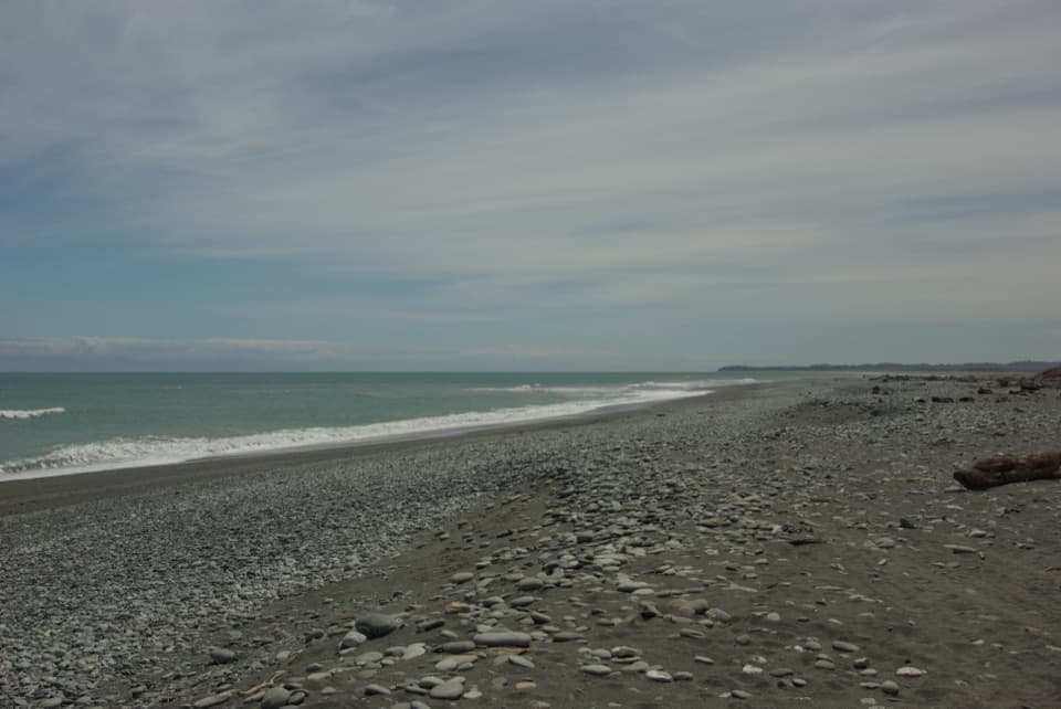 Beach · 2.9 km awayŌkārito BeachA wild, stony Tasman shore beside Ōkārito Lagoon.
 Lodging · 3.5 km awayŌkārito School HouseSleep in a former village school, now a 12-person heritage lodge.
 Campground · 3.5 km awayŌkārito Community CampgroundA friendly coastal base for Ōkārito's beach, lagoon and walks.
 Sight · 3.7 km awayDonovan’s StoreAn 1865 gold-rush hotel still serves as a village gathering place.
 Sight · 4 km awayŌkārito WharfA historic lagoon wharf with gold-rush stories and mountain views.
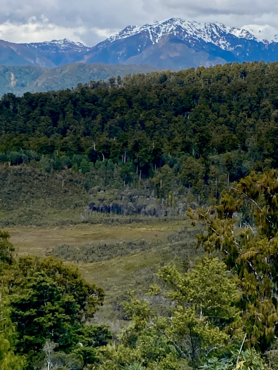 Sight · 6.3 km awayPakihi LookoutA short, steep climb opens onto wetland, forest and snowy peaks.
Parkwolf’s Westland Tai Poutini ranking

The audio tour guide for the drive, plus offline maps, trails, and wildlife heatmaps for when the signal drops.