Ōkārito Community Campground in Westland Tai Poutini National Park

Campground · Westland Tai Poutini National Park

Ōkārito Community Campground

A friendly coastal base for Ōkārito's beach, lagoon and walks.

Type
Campground
Nearest trail
0.1 km
Audio stories
3 nearby
  • Restrooms
  • Picnic tables
  • Wi-Fi

Hear the audio tour

Ōkārito Walks: the Trig or the Wetland

Overview

About Ōkārito Community Campground

Why stop

  • A short walk from both the beach and lagoon.
  • Campers often praise the welcoming hosts and clean facilities.

Heads up

  • Sandflies are a recurring nuisance.

Map

Where it is

Loading the Westland Tai Poutini map
Full map
CampgroundŌkārito Community Campground-43.22256, 170.16268
Keep this map with you offline in the Parkwolf app

Plan your stop

Before you go

Shared facilities

Facilities are simple: flush toilets, coin-operated hot showers, and a covered cooking shelter with tables, sinks, hot and cold water, a fridge and an electric barbecue. There are no powered sites or dump station; shelter power is for small-device charging only, and grey or black water can't be discharged here. Wi-Fi is for registered campers.

1 active Westland Tai Poutini alert

  • CautionActive landslide zones on Copland TrackDo not stop in either of Copland Track’s signposted active landslide zones; take extra care during and after heavy rain.Official details
Westland Tai Poutini alerts
A park ranger sits on a dash-mounted phone, talking, as Parkwolf’s Tour Guide plays “Army Cutworm Moths: A Grizzly Bear Buffet” on Grand Loop Road below Dunraven Pass in Yellowstone
Parkwolf Tour GuideThe highest, rockiest slopes around here are a summer buffet for grizzly bears.

Westland Tai Poutini Tour Guide

Your drive to Ōkārito Community Campground, narrated.

Parkwolf is a GPS audio tour guide for Westland Tai Poutini National Park. As you drive, it chimes in with what’s ahead: hidden gems, upcoming stops, history, geology, and wildlife, right through your car’s speakers.

See the Westland Tai Poutini audio tour

Recorded for this place

Ōkārito Walks: the Trig or the Wetland
0:00 / 0:24
“Up ahead is the start of the Ōkārito walks, beside the old schoolhouse.”

Plays as you drive up to Ōkārito Community Campground in the Parkwolf Westland Tai Poutini Tour Guide.

More stories near here in the app

  • Ōkārito Wharf: a Gold-Rush Port
  • Rowi Keep the Family Together
  • Pakihi Walk: Wetland, Forest and Mountains
  • Why Pakihi Stays Open
  • 49 audio storiesacross Westland Tai Poutini’s roads, triggered by GPS as you drive
  • Wildlife heatmapsfor Kea, Blue Duck, Kererū, and 13 more
  • Works offlinemaps, 31 trails, 53 places, and audio download before you lose signal
  • CarPlay readysimple controls built for the drive
★★★★★
“Fantastic app with many points of information… It’s great to just turn on while you’re driving and it gives you an audio tour of the national Park. We love it!!!!”
JMJamesApp Store review
Download Parkwolf on the App StoreGet Parkwolf on Google Play

4.7 from 8,600+ ratings

Guide

More about Ōkārito Community Campground

A simple stay beside the lagoonŌkārito Community Campground is a community-run campground on a Department of Conservation…

Ōkārito Community Campground is a community-run campground on a Department of Conservation recreation reserve in the small coastal village of Ōkārito. The beach and lagoon are a few minutes on foot, so it works well as an overnight base for coast and wetland walks. There are separate grassy tent areas and sheltered sites for campervans, caravans, motorhomes and buses.

Plan your arrivalThe campground doesn't take advance bookings, so aim to arrive by mid-afternoon during the…

The campground doesn't take advance bookings, so aim to arrive by mid-afternoon during the busiest summer holiday stretch. Ōkārito has no shops or service stations; pick up groceries and fuel before turning off toward the village.

Walk into wetland countryThe campground's flax and native-tree plantings provide shelter and attract birds.

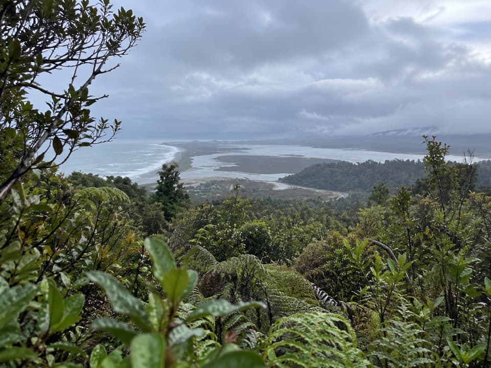
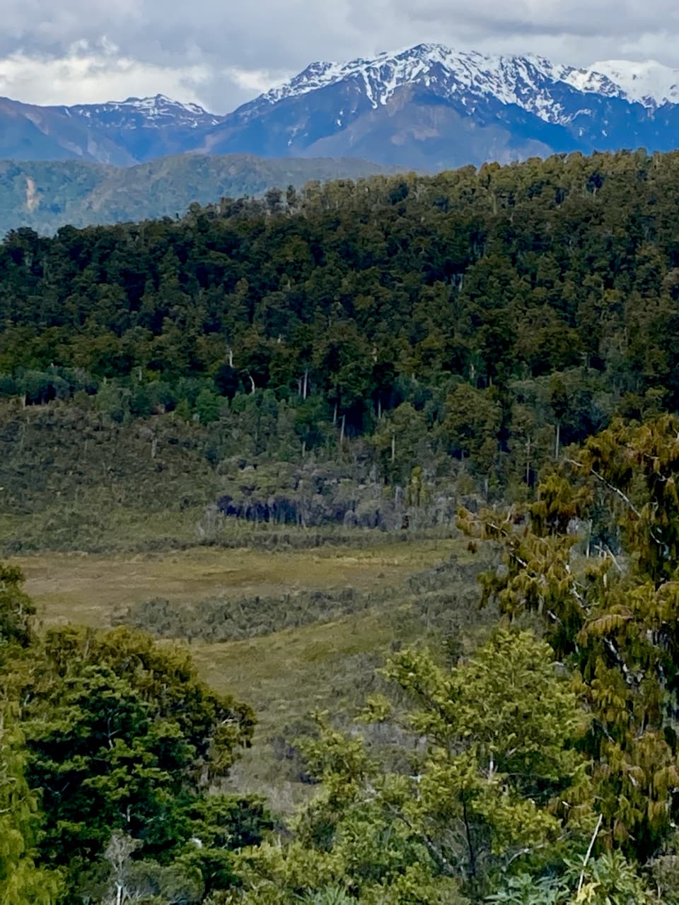
The campground's flax and native-tree plantings provide shelter and attract birds. Nearby, the Ōkārito Wetland Walk takes about 20 minutes, while the Trig Walk is about an hour and a half return for views from the Tasman Sea to the Southern Alps. The Three Mile Pack Track passes through kāmahi, kahikatea and rimu forest and by Three Mile Lagoon, then returns along the coast at low tide. Ōkārito Lagoon is a 3,340-hectare unmodified coastal wetland used by more than 76 native bird species; the country's only kōtuku (white heron) breeding colony is north of the lagoon at Waitangiroto River.

Wildlife

Wildlife in Westland Tai Poutini

All Westland Tai Poutini wildlife maps

Sighting maps show where each species has been reported across Westland Tai Poutini. Wildlife moves, so no sighting is guaranteed.

Parkwolf’s Westland Tai Poutini ranking

Top sights in Westland Tai Poutini

All 53 places
  1. 1Lake Matheson Jetty LookoutSight
  2. 2Te Kopikopiko o te WakaSight
  3. 3Sentinel RockSight
  4. 4Fox Glacier South Side ViewpointSight
  5. 5View of Views LookoutSight
  6. 6Reflection IslandSight

Take Parkwolf to Westland Tai Poutini.

The audio tour guide for the drive, plus offline maps, trails, and wildlife heatmaps for when the signal drops.

4.7 from 8,600+ ratings

Download Parkwolf on the App StoreGet Parkwolf on Google Play