Parking
From Franz Josef, take the Ōkārito turnoff; the signed access is on the right 5.7 km along. Parking capacity, fee, and facilities are not documented.

Westland Tai Poutini National Park, WC
A quick swamp and forest walk ends in a mountain view.
Overview
Map & elevation
Plan your hike

The highest, rockiest slopes around here are a summer buffet for grizzly bears.
Westland Tai Poutini Tour Guide
Parkwolf is a GPS audio tour guide for Westland Tai Poutini National Park. As you drive, it chimes in with what’s ahead: hidden gems, upcoming stops, history, geology, and wildlife, right through your car’s speakers.
See the Westland Tai Poutini audio tourRecorded for this trailhead
Pakihi Walk: Wetland, Forest and Mountains“The start of Pakihi Walk is ahead on the road to Ōkārito.”
Plays as you drive up to this trailhead in the Parkwolf Westland Tai Poutini Tour Guide.
More stories near here in the app
“Fantastic app with many points of information… It’s great to just turn on while you’re driving and it gives you an audio tour of the national Park. We love it!!!!”


Trail guide
Pakihi Walk is a 1 km return walk on the same track from the Ōkārito turnoff. It crosses a pakihi swamp, climbs gently through kāmahi and rimu forest, and finishes at a platform lookout. Allow about 30 minutes. It is a simple way to see the landscape shift from open wetland to forest, then look out over the coast and mountains.
The opening section crosses the pakihi swamp. From there the path rises gently through kāmahi and rimu to the platform; retrace the same track to the roadside start. The climb is brief, with the lookout as the clear destination.
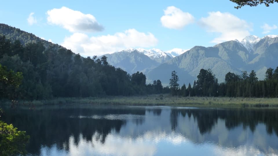
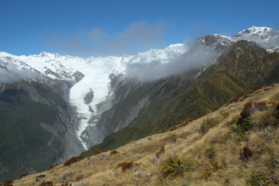
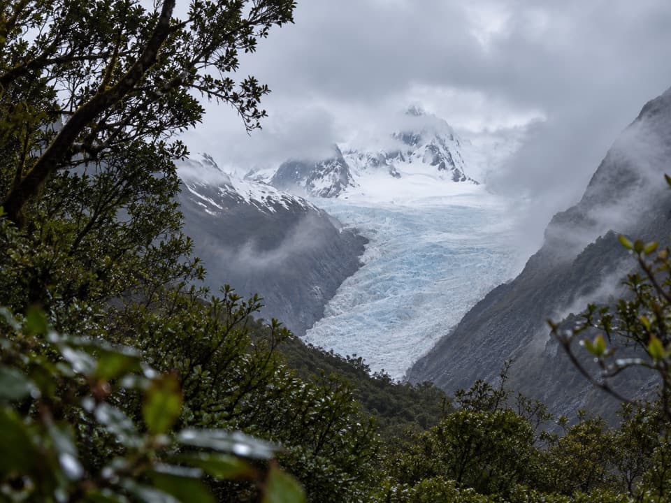
The lookout opens over rainforest and coastal landforms toward the Southern Alps, including Aoraki/Mount Cook, with a glimpse of Franz Josef Glacier. Give the view a pause rather than expecting a summit hike. For a photo, keep some of the low forest below the peaks so the picture shows both the walk and the range beyond it. Dogs are not allowed.
Wildlife
 89 sightingsKeaMost seen around 10 AMSighting map
 10 sightingsBlue DuckMost seen around 5 PMSighting map
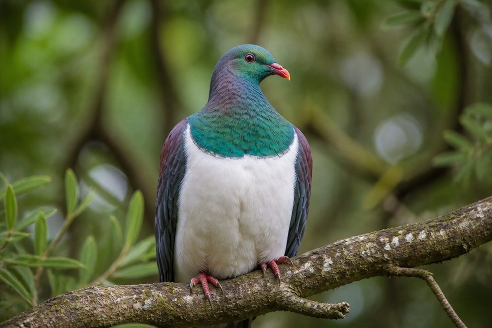 80 sightingsKererūMost seen around 7 AMSighting map
 38 sightingsTūīMost seen around 5 AMSighting map
 10 sightingsNew Zealand FalconMost seen around 10 AMSighting map
 28 sightingsYellow-crowned ParakeetMost seen around 8 AMSighting map
Sighting maps show where each species has been reported across Westland Tai Poutini. Wildlife moves, so no sighting is guaranteed.
Keep exploring
 EasyŌkārito Wetland Walk1 km · 20 min · 4.5 km awayA curving boardwalk leads to a bench overlooking the lagoon.
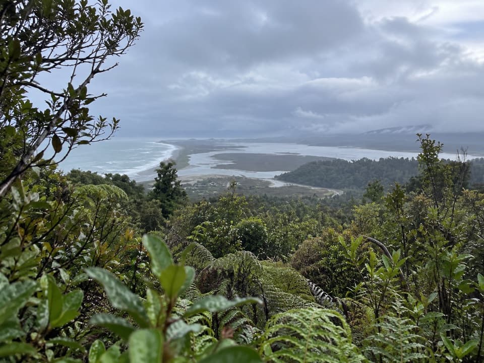 ModerateŌkārito Trig Walk4.2 km · 1.5 hr · 4.5 km awayShort climb, then lagoon, coast and Southern Alps in one view.
 ModerateThree Mile Pack Track - Ōkārito Coastal Walk9.8 km · 3.5 hr · 4.5 km awayWind-shaped forest leads over a bluff to a lagoon bridge.
 ModerateTe Ara a Waiau Walkway/Cycleway8.7 km · 2 hr · 15.1 km awayShared walk and cycleway from Franz Josef to the glacier car park
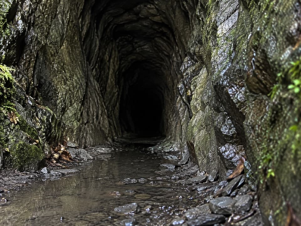 ModerateTatare Tunnels Walk4.4 km · 1.5 hr · 15.5 km awayA short forest walk to a damp, hand-cut mining tunnel.
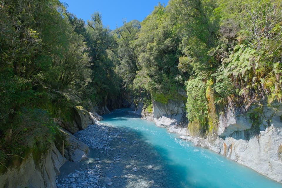 ModerateCallery Gorge Walk5.2 km · 1.5 hr · 15.5 km awayA rainforest walk to a historic bridge above Callery Gorge
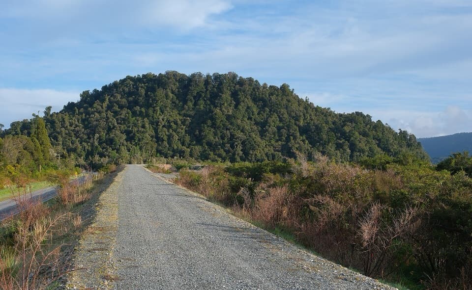 ModerateCanavans Knob Walk3.2 km · 1.3 hr · 15.8 km awayA riverside start leads to a steep climb and two-sided views.
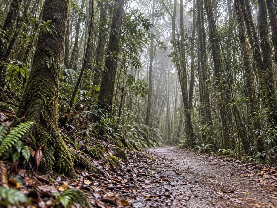 EasyTerrace Walk1 km · 30 min · 16.2 km awayA short rainforest path with glowworms around fallen trees after dark.
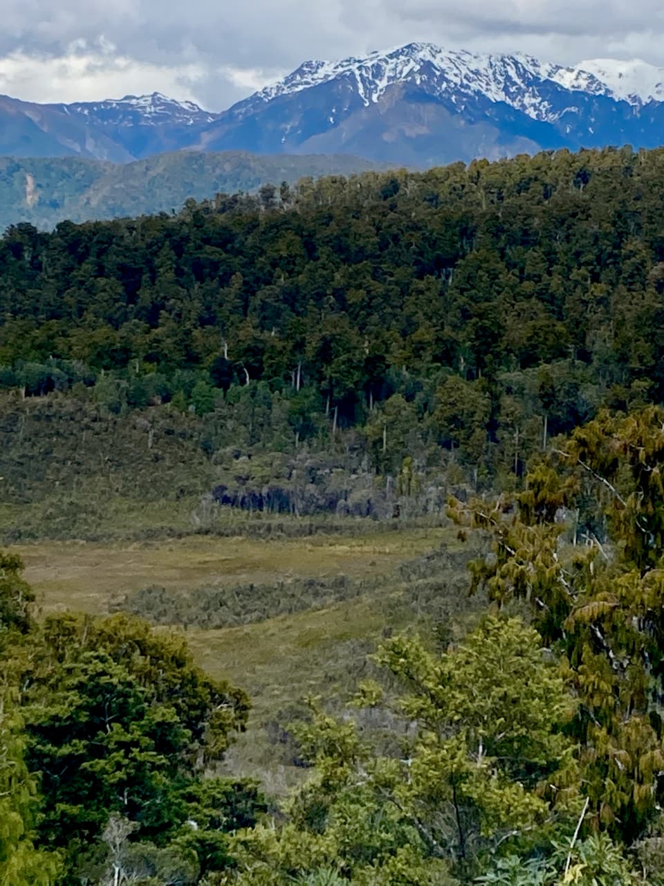 Sight · 0.2 km awayPakihi LookoutA short, steep climb opens onto wetland, forest and snowy peaks.
 Sight · 4.3 km awayŌkārito WharfA historic lagoon wharf with gold-rush stories and mountain views.
 Sight · 4.5 km awayDonovan’s StoreAn 1865 gold-rush hotel still serves as a village gathering place.
 Lodging · 4.5 km awayŌkārito School HouseSleep in a former village school, now a 12-person heritage lodge.
 Sight · 4.6 km awayŌkārito TrigA bush climb opens onto lagoon, coast and alpine peaks.
 Campground · 4.6 km awayŌkārito Community CampgroundA friendly coastal base for Ōkārito's beach, lagoon and walks.
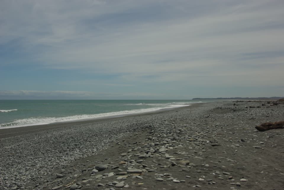 Beach · 4.9 km awayŌkārito BeachA wild, stony Tasman shore beside Ōkārito Lagoon.
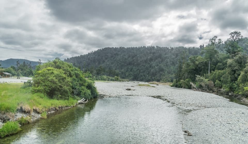 Campground · 5.7 km awayOtto/MacDonalds CampsiteA lakeside campground with sheltered tent and open van areas.
Parkwolf’s Westland Tai Poutini ranking

The audio tour guide for the drive, plus offline maps, trails, and wildlife heatmaps for when the signal drops.