Parking
Small roadside lay-by about 200 m above Oldbridge at the southern end of Lough Dan, opposite the Lough Dan Scout Centre. Space is limited; do not block gates or passing places.
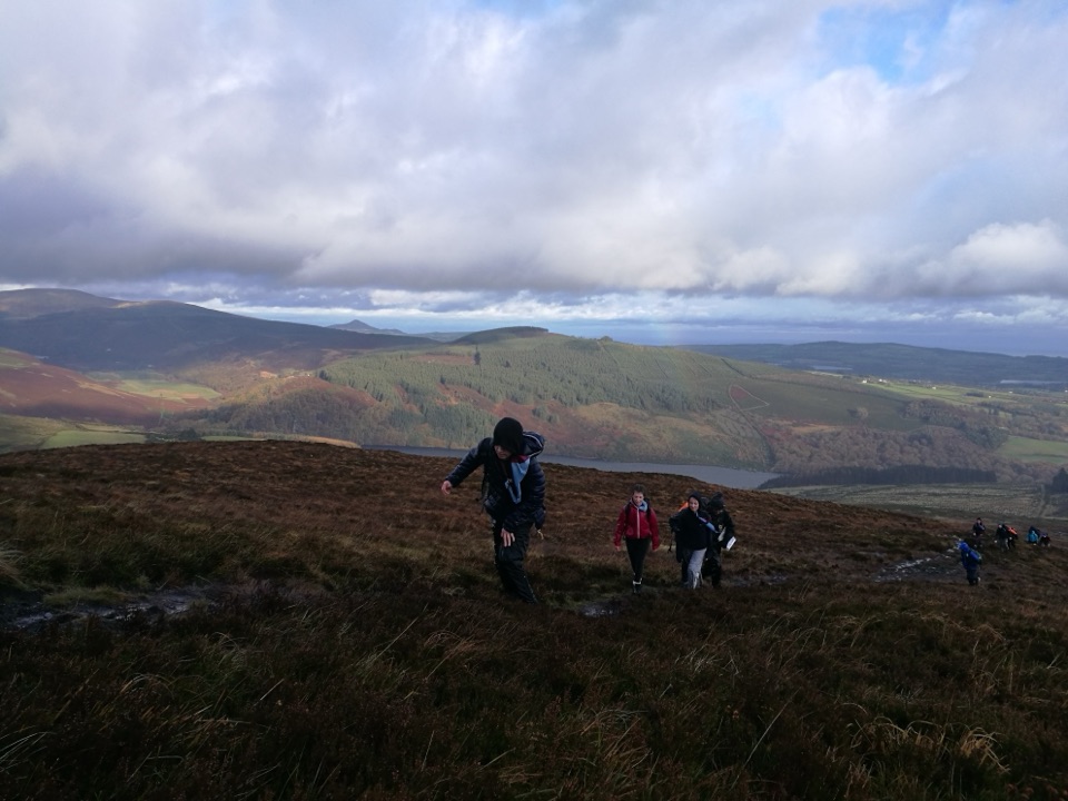
Wicklow Mountains National Park, WW
A 10 km ridge loop above Lough Dan with real navigation demands
Overview
The Scarr and Kanturk Loop is a 10 km circuit with around 465 m of ascent, usually taking 3.5 to 4 hours. It is often listed as moderate, but it is an unwaymarked mountain day rather than a signed walking trail, and it should be treated as such.
Map & elevation
Plan your hike

The highest, rockiest slopes around here are a summer buffet for grizzly bears.
Wicklow Mountains Tour Guide
Parkwolf is a GPS audio tour guide for Wicklow Mountains National Park. As you drive, it chimes in with what’s ahead: hidden gems, upcoming stops, history, geology, and wildlife, right through your car’s speakers.
Recorded for this trailhead
Scarr, Kanturk and Lough Dan“You’re nearing the walking access for Scarr and Kanturk near Oldbridge. The ridge gives you wide views over Lough Dan, with a quieter feel than the busiest Glendalough trails.”
Plays as you drive up to this trailhead in the Parkwolf Wicklow Mountains Tour Guide.
More stories near here in the app
“Fantastic app with many points of information… It’s great to just turn on while you’re driving and it gives you an audio tour of the national Park. We love it!!!!”


Trail guide
The loop starts at the small Lough Dan access near Oldbridge and climbs over Kanturk before joining the open Scarr ridge at 641 m. From the high ground the descent drops steeply through ferns and gullies, often wet underfoot, to reach a flat unpaved track near Lough Dan that carries you back toward the start.
Expect rough grass, bog, mud and paths that fade in and out, particularly on the descent. There are no waymarks, so map, compass and the ability to use them in poor visibility are needed. The steep, wet lower section calls for careful footing, and the flat lakeside track at the end is the easiest ground of the day.
The ridge opens up long views over Lough Dan, with Luggala, Knocknacloghoge and Tonelagee in sight on clear days. This corner of the mountains is quieter than the busiest Glendalough trails, so the walk often feels more solitary.
Use the small roadside lay-by about 200 m above Oldbridge, opposite the Lough Dan Scout Centre. Space is limited, so do not block gates or passing places. The Scout Centre is a private facility and its parking and amenities are not for walkers' use.
The National Parks and Wildlife Service states that dogs are welcome in the park but must be kept on a lead. Parts of the walk pass close to working land, so respect landowner signs, close gates behind you and keep to the ground indicated. Research did not establish a route-specific permit requirement, so check current access guidance before setting out.
The shorter Scarr ascent directly from Lough Dan covers the best of the ridge with less distance and less of the rough descent, which makes it a sensible fallback in low cloud or limited daylight.
Wildlife
 204 sightingsSika DeerMost seen around 7 AMSighting map
 18 sightingsRed DeerMost seen around 7 AMSighting map
 15 sightingsGrey HeronMost seen around 7 PMSighting map
 11 sightingsCommon RavenMost seen around 8 AMSighting map
 28 sightingsEuropean Common FrogMost seen around 7 PMSighting map
 11 sightingsViviparous LizardMost seen around 11 AMSighting map
Sighting maps show where each species has been reported across Wicklow Mountains. Wildlife moves, so no sighting is guaranteed.
Keep exploring
 ChallengingTonelagee & Lough Ouler Trail7.9 km · 3.8 hr · 4.2 km awayHeart-shaped corrie lake, then a boggy climb to a windswept summit
 ChallengingDjouce Mountain from J.B. Malone Car Park7.4 km · 2.5 hr · 5.1 km awayExposed boardwalk climb to a rocky 725 m summit above Lough Tay
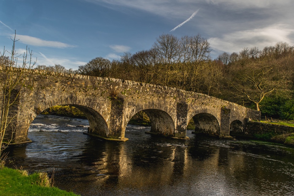 ModerateThe Avonmore Way12.9 km · 3.5 hr · 5.4 km awayOne honest climb, ridge-road views, then bluebell oakwoods by the river
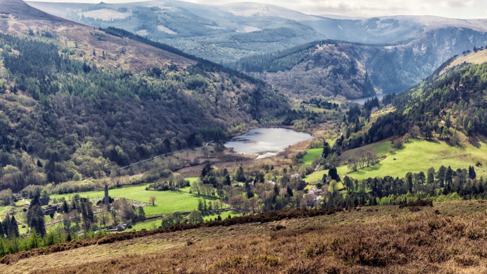 ModerateBrockagh Mountain10.6 km · 3.8 hr · 5.8 km awaySustained climb from Laragh to open heather and broad Glendalough views
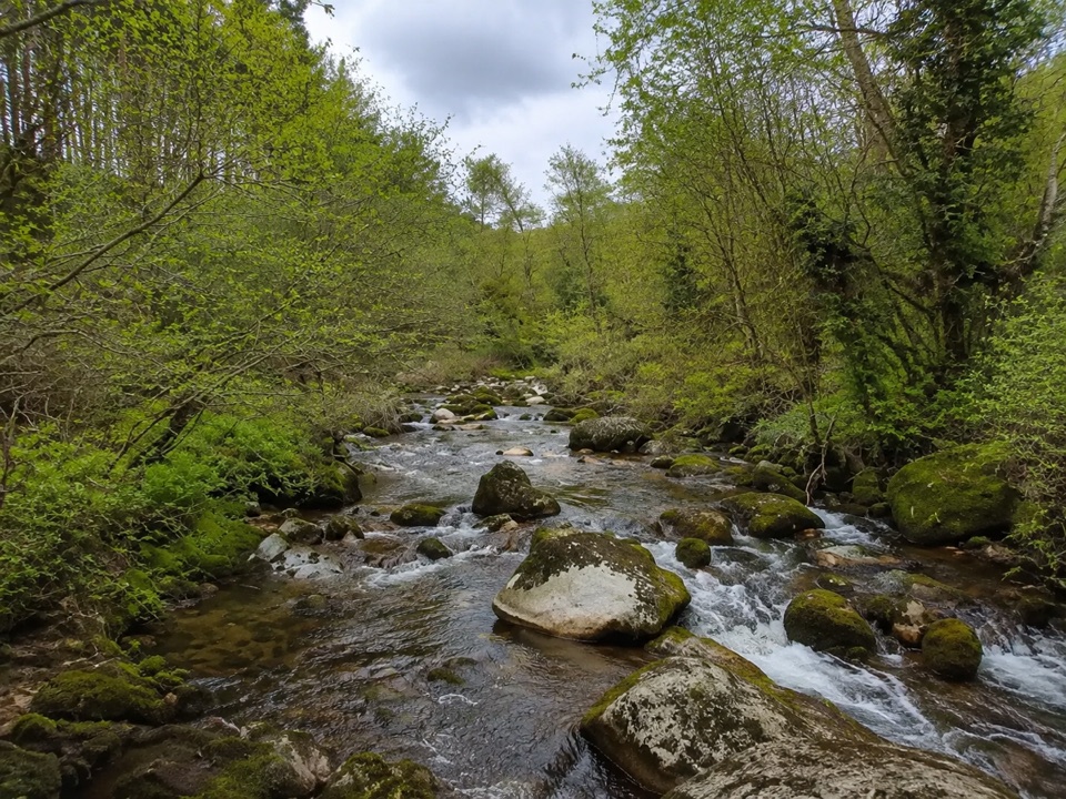 EasyBrockagh Blue Loop4.4 km · 1.8 hr · 5.9 km awayEasy 4.5 km forest loop at Brockagh, touching the Wicklow Way
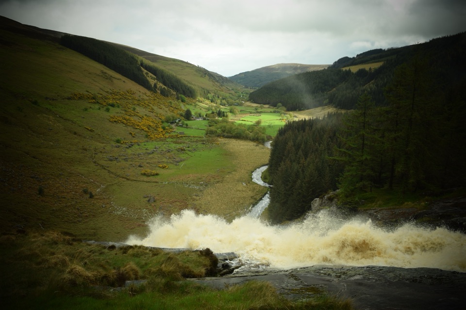 ChallengingMullaghcleevaun Loop16.3 km · 6.5 hr · 6 km awayBog, a hidden corrie lake and a waterfall finish high above Glenmacnass
 ChallengingThe Spinc and Camaderry Loop17.9 km · 6.8 hr · 6.4 km awayBoardwalk cliffs above the lakes, then open ground to Camaderry
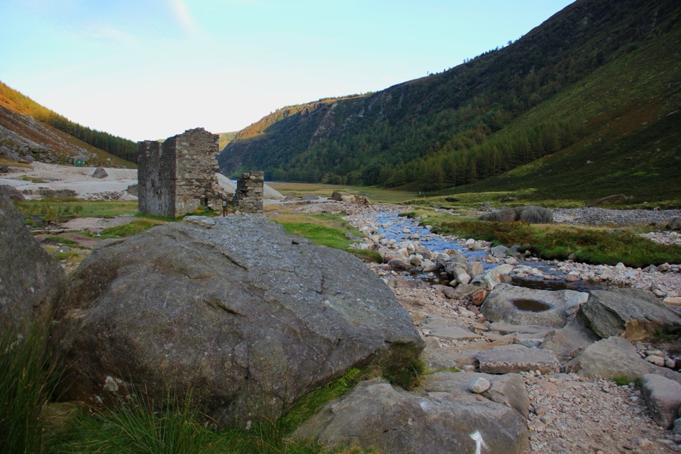 ChallengingThe Miners' Way16.9 km · 6 hr · 7 km awayThree lead-mining valleys linked by a tough 16.9 km upland traverse
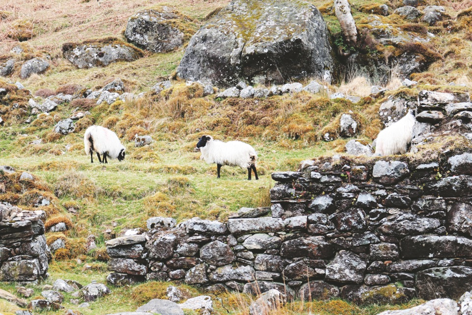 Sight · 1.1 km awayLough DanBoomerang-shaped ribbon lake, dark and quiet, best seen from above
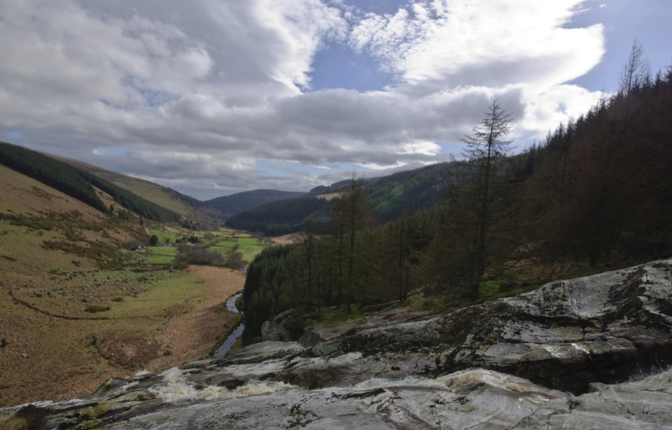 Sight · 4.1 km awayGlenmacnass WaterfallWide cascade down bare rock, two minutes below the car park
 Sight · 5.7 km awayJ.B. Malone MemorialGranite plaque on the Wicklow Way with Lough Tay far below
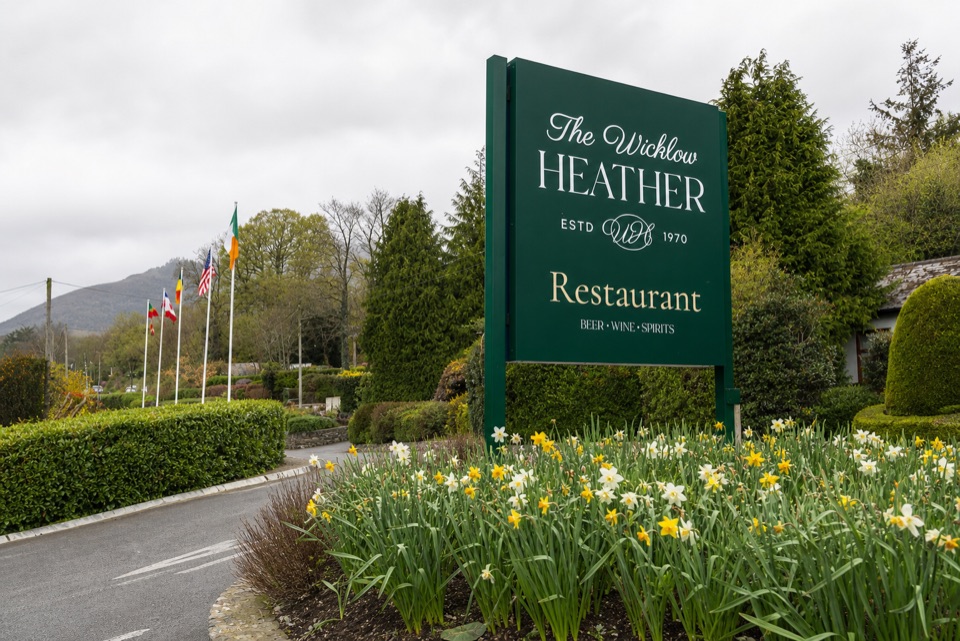 Restaurant · 5.9 km awayWicklow Heather RestaurantFifty-plus years of Irish cooking beside rare literary first editions
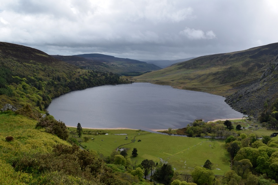 Sight · 6.1 km awayLough Tay Viewing PointDark peat water, white sand: the stout-and-cream lake from the roadside
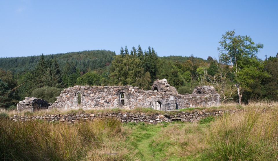 Sight · 6.3 km awaySaint Saviour's PrioryFinely carved Romanesque arch and window, reached on a woodland walk
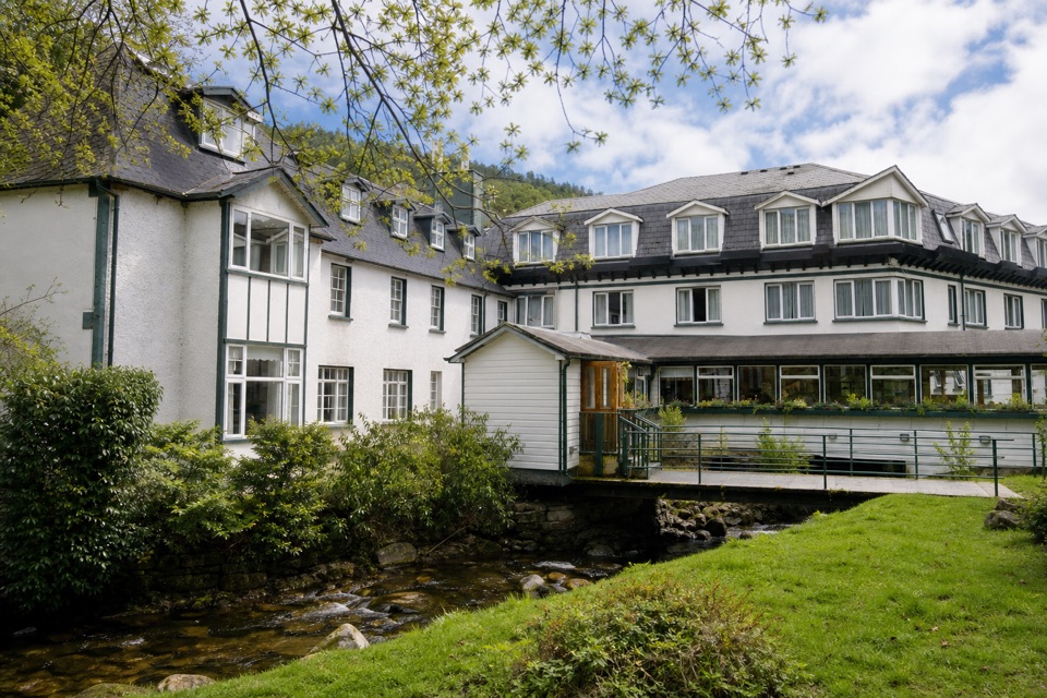 Lodging · 6.3 km awayThe Glendalough HotelStay in the valley itself, then walk before the crowds arrive
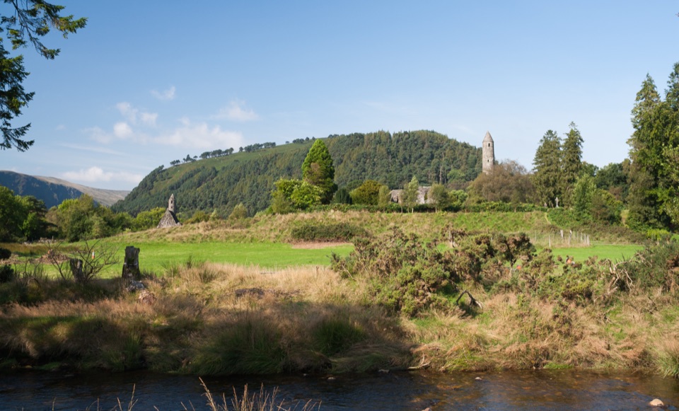 Sight · 6.4 km awayGlendalough Monastic Site and Visitor CentreSixth-century round tower and stone churches in a glacier-carved valley
Parkwolf’s Wicklow Mountains ranking
 Spinc and Glenealo Valley (White Route)Challenging · 9.5 kmThe Wicklow WayChallenging · 130 kmDjouce Mountain from J.B. Malone Car ParkChallenging · 7.4 kmTonelagee & Lough Ouler TrailChallenging · 7.9 kmSpinc and the Wicklow Way (Red Route)Challenging · 11.5 km
 Miners’ Road Walk (Purple Route)Easy · 5 km
The audio tour guide for the drive, plus offline maps, trails, and wildlife heatmaps for when the signal drops.