1 active Wilsons Promontory alert
- ClosureStockyard and Big Drift closuresBig Drift Walk, Stockyard car park, Stockyard Campground and the Stockyard Toilet Block are closed.Official details
Sight · Wilsons Promontory National Park
A rocky headland worth the coastal detour.
Overview
Map
Plan your stop

The highest, rockiest slopes around here are a summer buffet for grizzly bears.
Wilsons Promontory Tour Guide
Parkwolf is a GPS audio tour guide for Wilsons Promontory National Park. As you drive, it chimes in with what’s ahead: hidden gems, upcoming stops, history, geology, and wildlife, right through your car’s speakers.
Recorded for this area
Norman Beach and Tidal River“Up ahead is Norman Beach, a wide strip of firm sand just a short walk from Tidal River's campground.”
Plays on the road 2.2 km from Norman Point in the Parkwolf Wilsons Promontory Tour Guide.
More stories near here in the app
“Fantastic app with many points of information… It’s great to just turn on while you’re driving and it gives you an audio tour of the national Park. We love it!!!!”


Guide
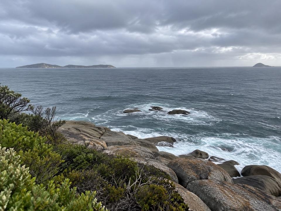
Norman Point is a rocky headland between Norman Bay and Little Oberon Bay, reached on foot from Tidal River along the coastal route. It’s a natural viewpoint rather than a roadside stop. I’d add it if you’re already walking toward Little Oberon Bay; the point alone doesn’t warrant making the longer walk your whole day.
A side track from the Oberon Bay Walking Track runs about 350 m one way to the end of the point. The spur reaches a boulder-strewn shoreline, so expect rough rock underfoot at the tip. There’s no drive-up access; count the walk back to Tidal River as part of the outing.
The point is the rocky divide between the two bays, with surf curling around low offshore rocks and islands on the horizon. For a photo, keep some foreground rock in the frame with the surf and islands; it gives the open view a sense of where you’re standing.
Wildlife
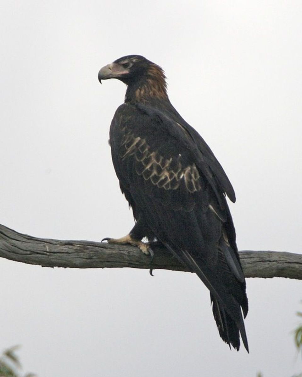 19 sightingsWedge-tailed EagleMost seen around 11 AMSighting map
 30 sightingsKoalaMost seen around 6 PMSighting map
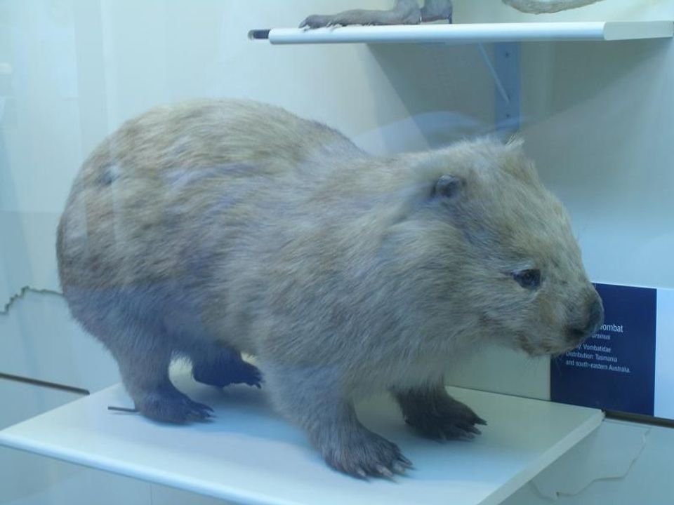 812 sightingsBare-nosed WombatMost seen around 6 PMSighting map
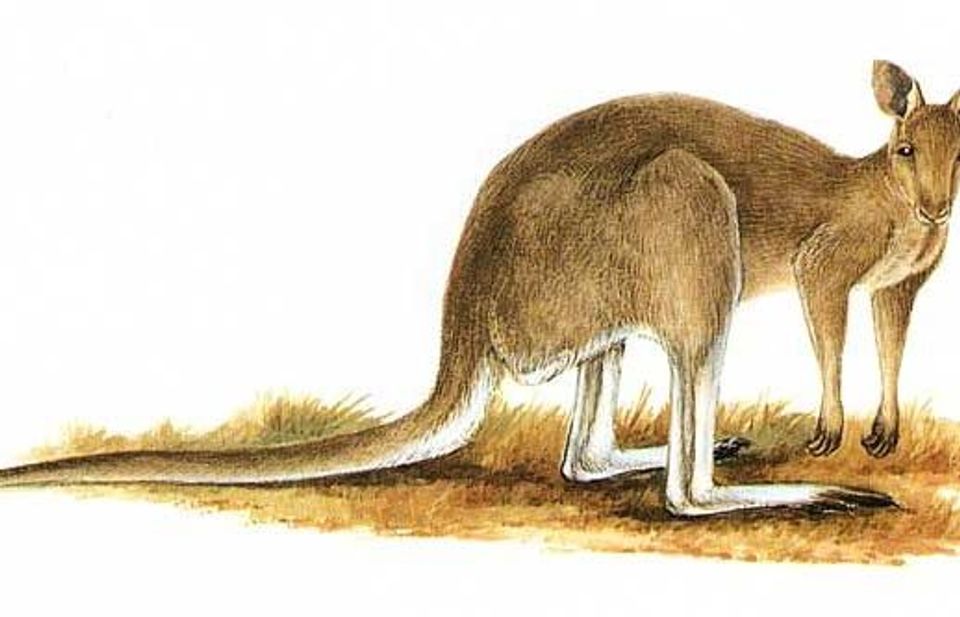 311 sightingsEastern Grey KangarooMost seen around 7 AMSighting map
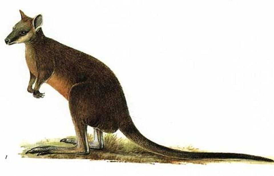 543 sightingsSwamp WallabyMost seen around 6 PMSighting map
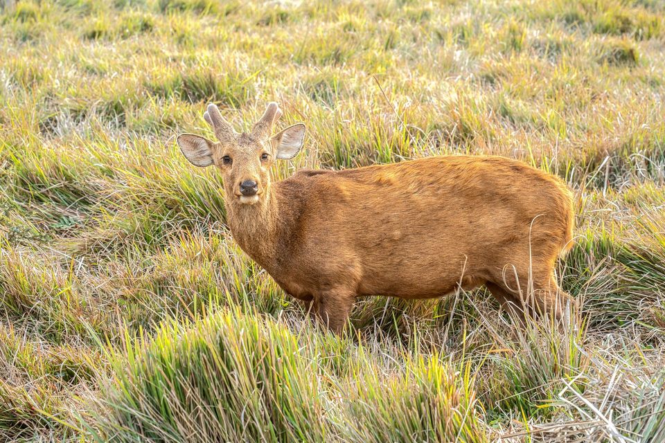 20 sightingsIndochinese Hog DeerMost seen around 7 AMSighting map
Sighting maps show where each species has been reported across Wilsons Promontory. Wildlife moves, so no sighting is guaranteed.
Keep exploring
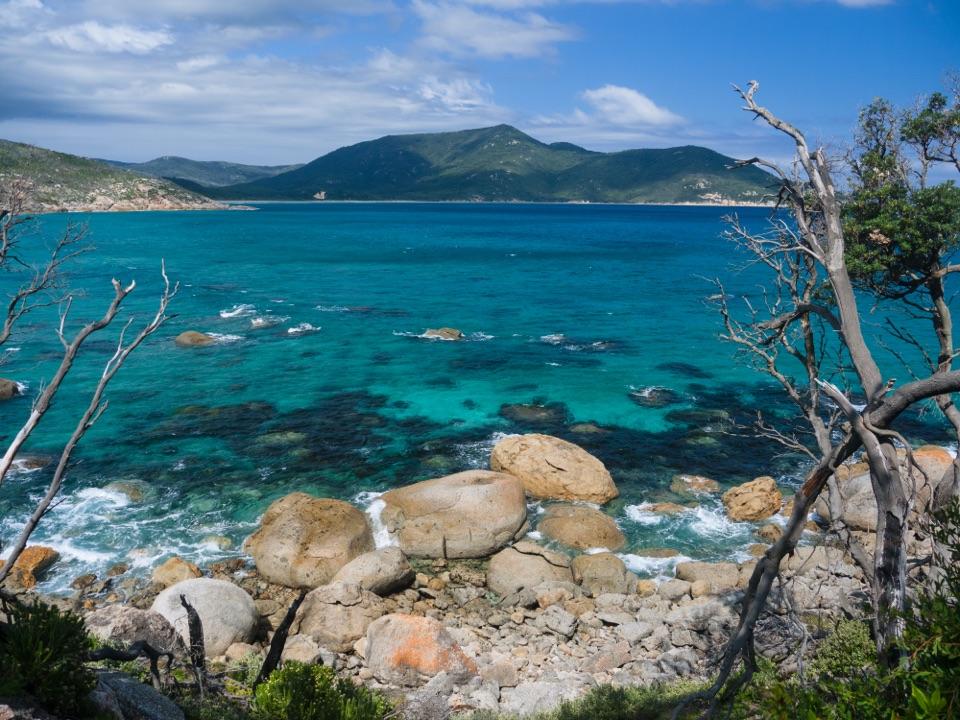 ModerateLittle Oberon Bay Walk8.2 km · 3 hr · 2.4 km awayDune tracks and a granite headland lead to a pale-sand cove.ModerateTidal River to Oberon Bay Walk15.2 km · 5 hr · 2.4 km awayA long coastal walk ends at a remote beachside camp.
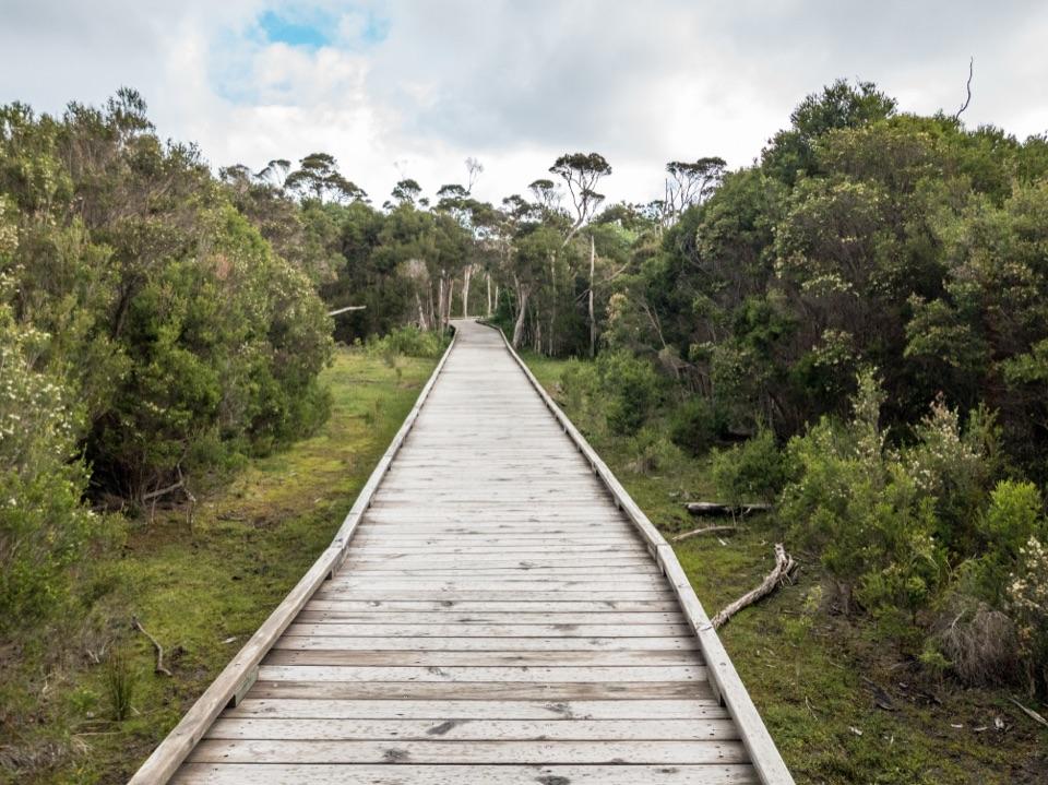 EasyLoo-Errn Track2 km · 1 hr · 2.5 km awayA gentle wetland boardwalk beside Tidal River, with four fishing platforms.
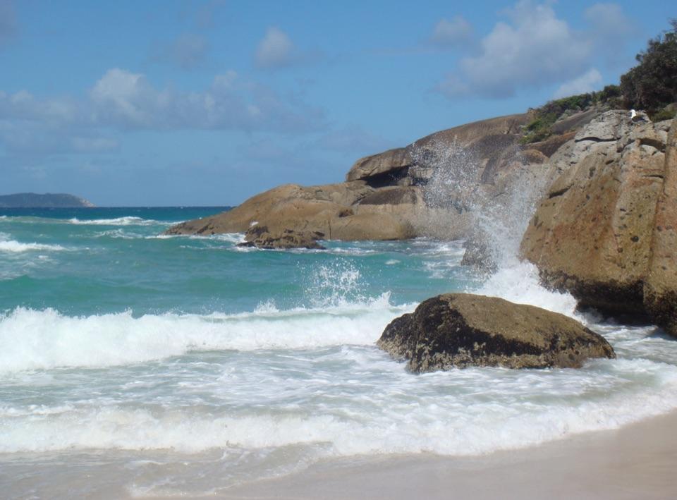 ModerateThree Bays Walk12.4 km · 4 hr · 2.6 km awayA creek crossing, three beaches and red rocks at the far end.
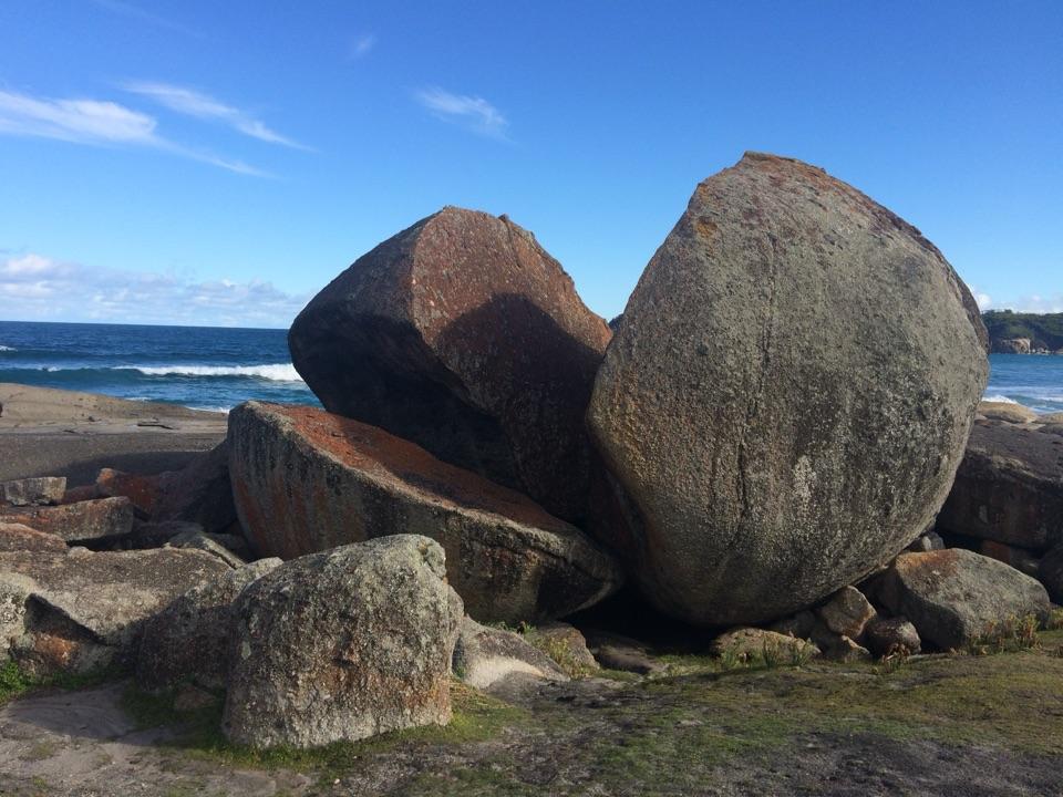 ModerateSqueaky Beach Walk4.2 km · 1.5 hr · 2.6 km awayA headland climb to squeaking sand and granite boulders.
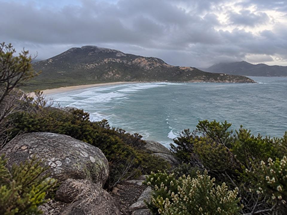 ModeratePillar Point Walk3.6 km · 1.5 hr · 2.7 km awayGranite, beaches and a broad Norman Bay view in 90 minutes.
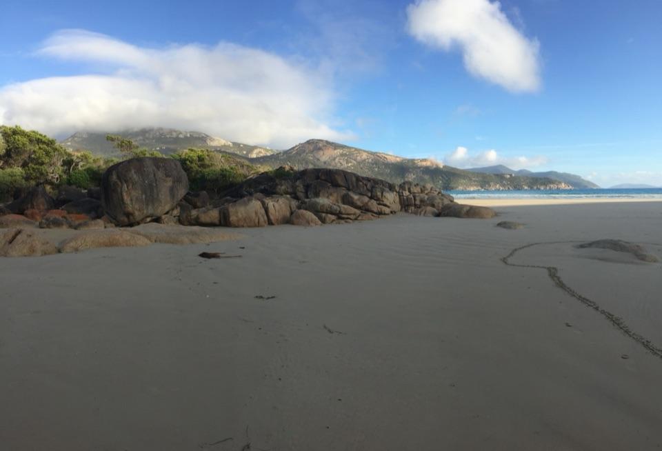 ModerateTidal Overlook Circuit3.8 km · 1.5 hr · 2.7 km awayA 3.8 km loop to broad coastal views above Norman Bay.
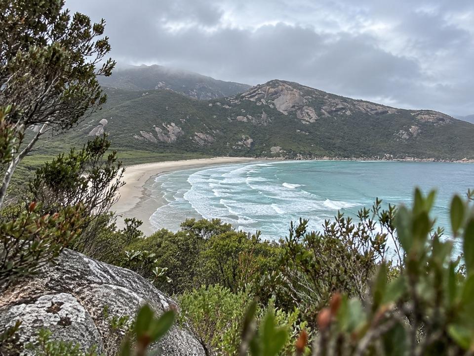 EasyLilly Pilly Link Walk1 km · 20 min · 2.7 km awayA short coastal-heath link with Norman Bay viewsBeach · 1.1 km awayLittle Oberon BayA compact beach with clear water, reached by a proper coastal walk.
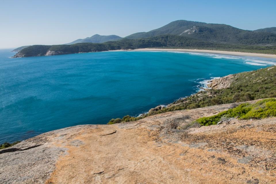 Beach · 1.9 km awayNorman BeachWalk a long, flat beach with Mount Oberon in view.
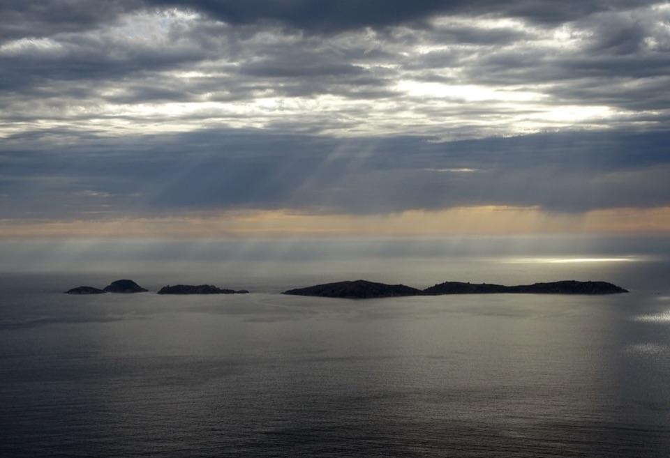 Sight · 1.9 km awayPillar PointA granite headland above Norman Bay, Squeaky Beach and offshore islands.
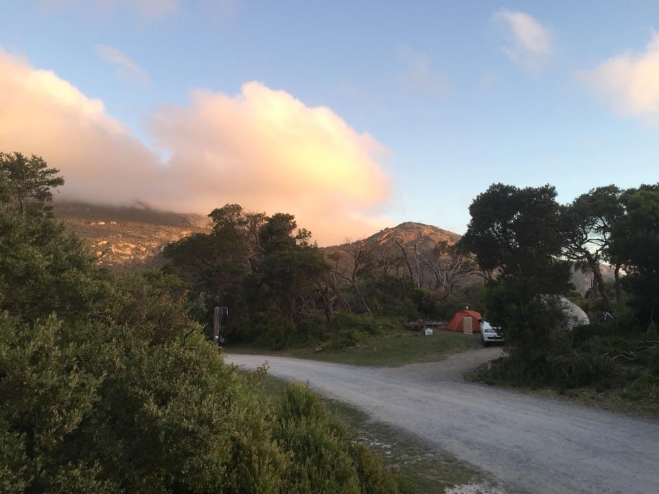 Campground · 2.3 km awayTidal River CampgroundA beach-and-river campground with the visitor hub on site.
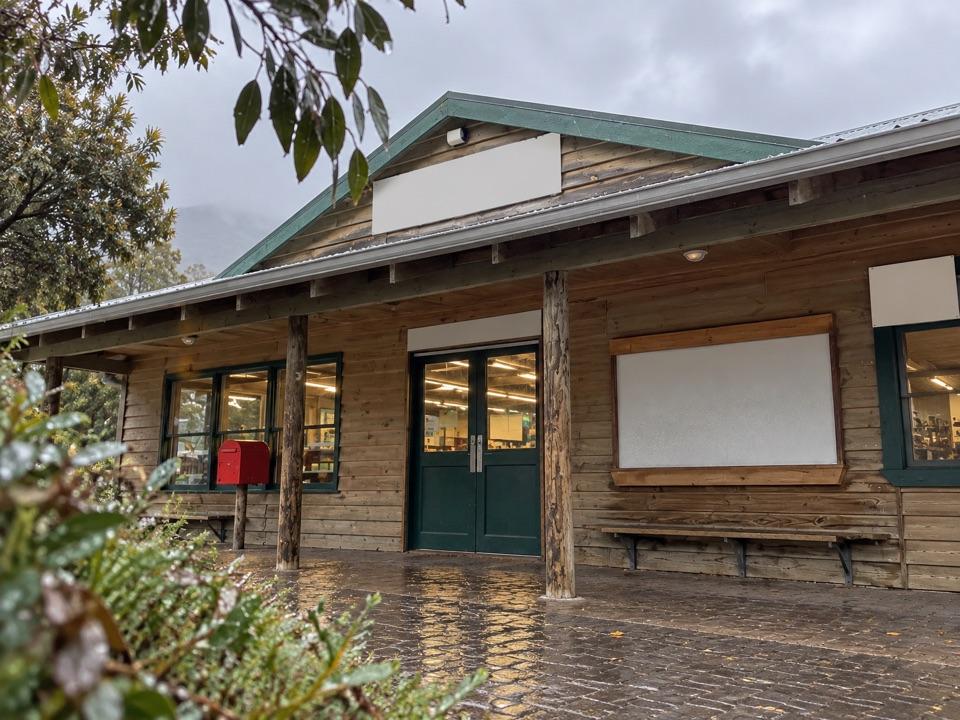 Store · 2.4 km awayTidal River General StoreA practical top-up and takeaway stop in the main campground.
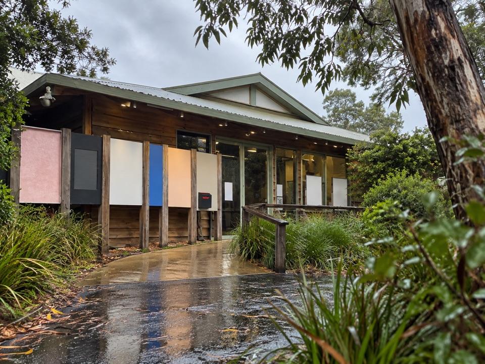 Visitor center · 2.4 km awayTidal River Visitor CentreMaps, permits and local advice make this a useful first stop.
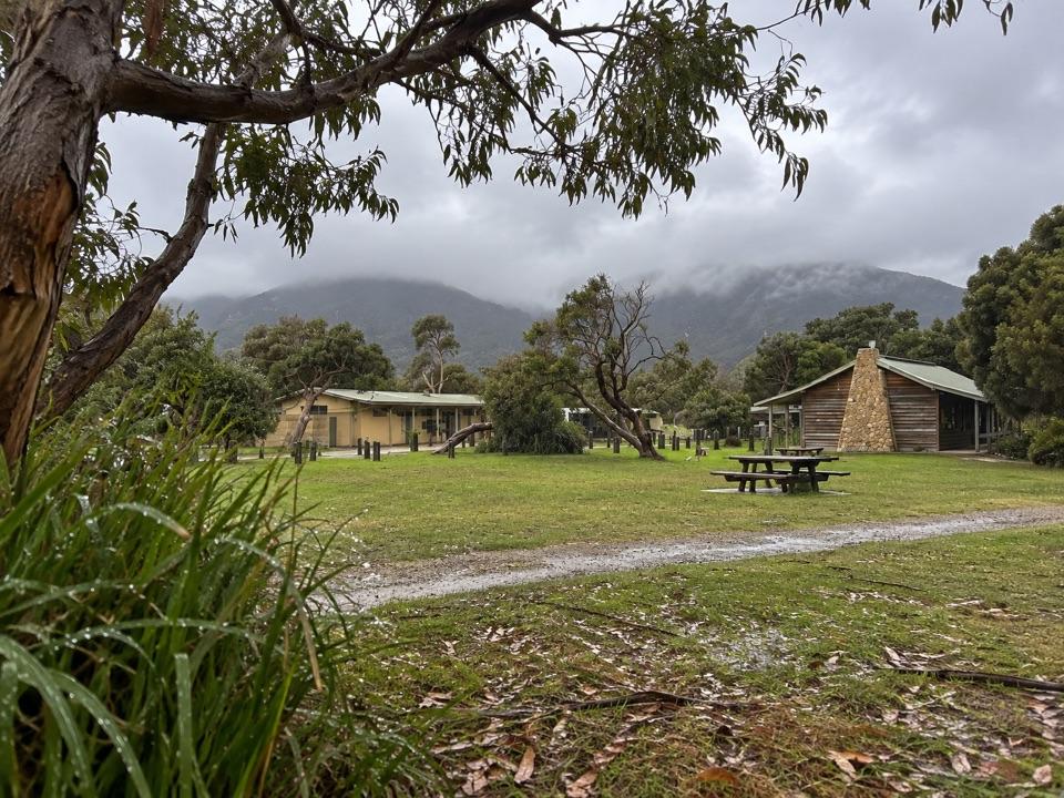 Lodging · 2.6 km awayTidal River AccommodationRoofed stays at the hub, with Norman Beach a short walk away.
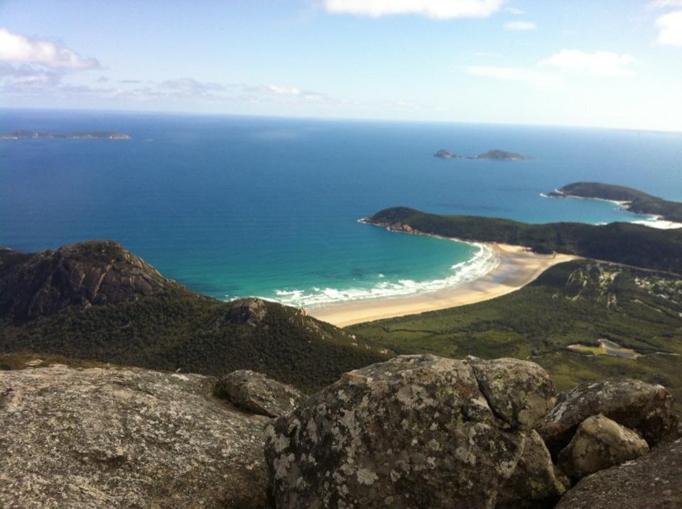 Sight · 2.7 km awayMount OberonA 558 m summit above Tidal River, bays and offshore islands.
Parkwolf’s Wilsons Promontory ranking

The audio tour guide for the drive, plus offline maps, trails, and wildlife heatmaps for when the signal drops.