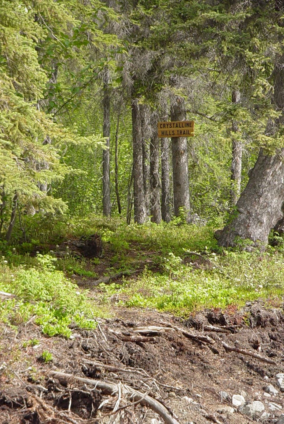
Trail Creek Trail in Wrangell-St. Elias National Park

Wrangell-St. Elias National Park, AK

Trail Creek Trail

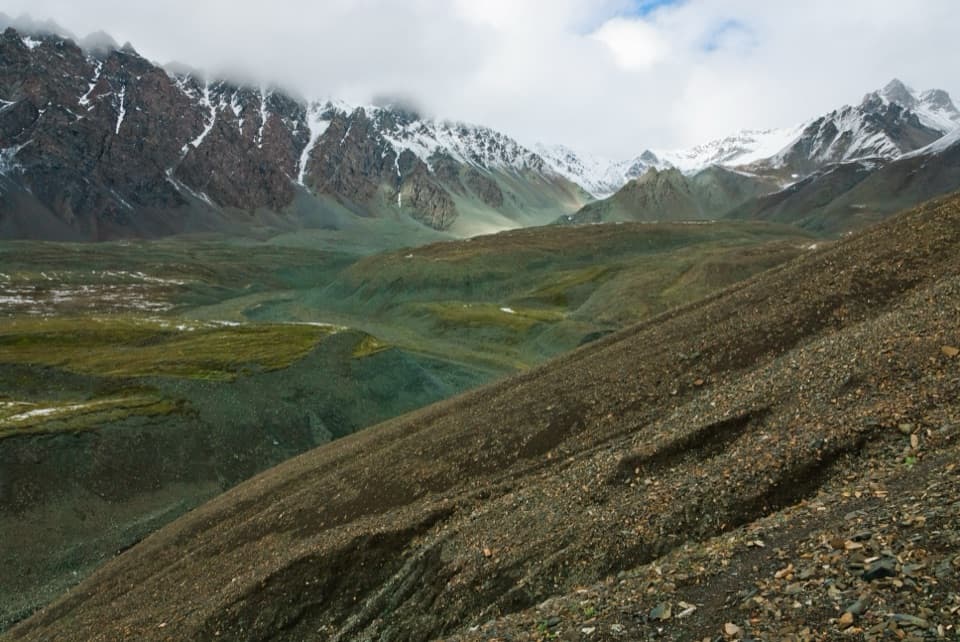
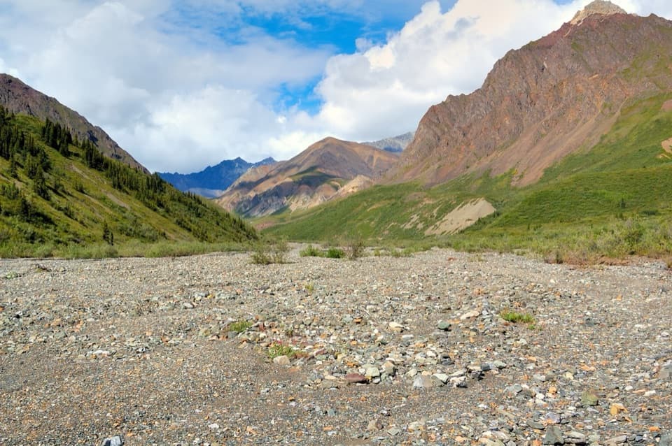
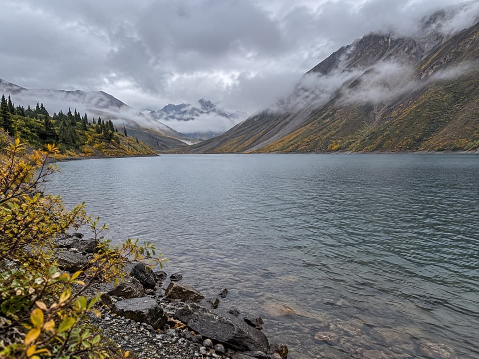
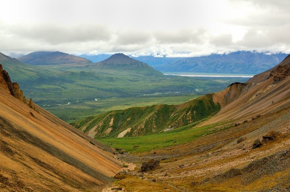
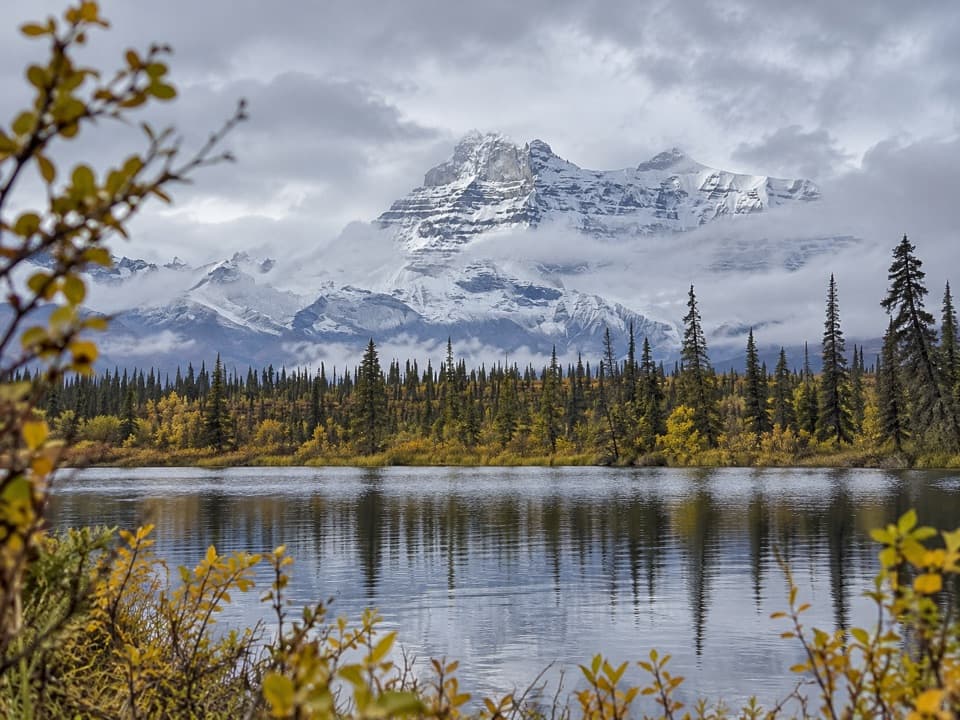
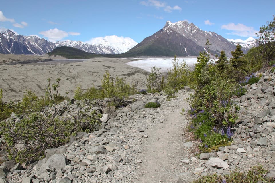
A rough creekbed walk into a narrow alpine canyon.

Photo: NPS Photo / Bryan Petrtyl

Length
12mi
Time
7hr
Elev. change
1,581ft
Difficulty
Moderate
  • High point 4,734 ft
  • #13 of 28 in Wrangell-St. Elias

Hear the audio tour

Trail Creek Canyon Hike

Overview

About Trail Creek Trail

Why go

  • The rocky approach opens into a narrow alpine canyon.
  • The canyon mouth offers a useful 8-mile round-trip turnaround.

Heads up

  • Several fords can rise quickly and become impassable.
  • Loose rock and scree make the creekbed slow on foot.

Map & elevation

The route

Loading the Wrangell-St. Elias map
Full map
Elevation3,153–4,734 ft
TrailheadTrail Creek crossing, Nabesna Road mile 29.862.52249, -143.22144
Keep this map with you offline in the Parkwolf app

Plan your hike

Before you go

Parking

Roadside parking at the Trail Creek crossing on Nabesna Road, mile 29.8; there is no lot. Park on firm ground outside the creek drainage. After spring runoff or prolonged rain, road creek crossings may require high clearance or four-wheel drive; check road conditions before driving in.

Safety

Creek levels can rise several feet on warm days or rise suddenly during and after rain; an easy morning ford may be impassable later. The lower 5–6 miles are very rocky with scree scrambling. Bears are present. Do not park in the creek drainage because of flash-flood risk.

A park ranger sits on a dash-mounted phone, talking, as Parkwolf’s Tour Guide plays “Army Cutworm Moths: A Grizzly Bear Buffet” on Grand Loop Road below Dunraven Pass in Yellowstone
Parkwolf Tour GuideThe highest, rockiest slopes around here are a summer buffet for grizzly bears.

Wrangell-St. Elias Tour Guide

Your drive to Trail Creek Trail, narrated.

Parkwolf is a GPS audio tour guide for Wrangell-St. Elias National Park. As you drive, it chimes in with what’s ahead: hidden gems, upcoming stops, history, geology, and wildlife, right through your car’s speakers.

See the Wrangell-St. Elias audio tour

Recorded for this trailhead

Trail Creek Canyon Hike
0:00 / 0:25
“Trail Creek's trailhead is coming up, for a rough hike into a narrow alpine canyon.”

Plays as you drive up to this trailhead in the Parkwolf Wrangell-St. Elias Tour Guide.

More stories near here in the app

  • Kendesnii Campground and Twin Lakes
  • Lost Creek’s Tundra Hike
  • The Pika’s Winter Hay
  • A Hillside’s Slow Flow
  • 81 audio storiesacross Wrangell-St. Elias’s roads, triggered by GPS as you drive
  • Wildlife heatmapsfor Grizzly Bear, Moose, Humpback Whale, and 13 more
  • Works offlinemaps, 28 trails, 62 places, and audio download before you lose signal
  • CarPlay readysimple controls built for the drive
★★★★★
“Fantastic app with many points of information… It’s great to just turn on while you’re driving and it gives you an audio tour of the national Park. We love it!!!!”
JMJamesApp Store review
Download Parkwolf on the App StoreGet Parkwolf on Google Play

4.7 from 8,600+ ratings

Trail guide

Hiking Trail Creek Trail

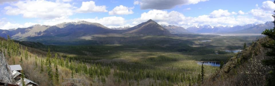
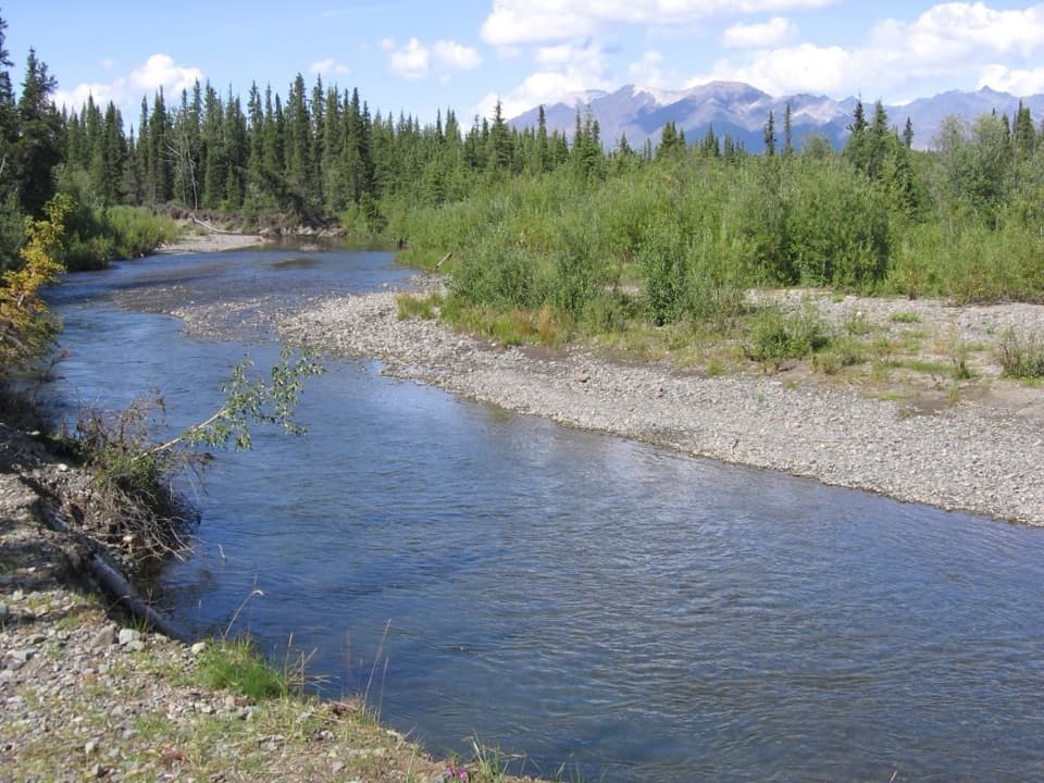
A long creekbed hikeTrail Creek Trail is a backcountry out-and-back from Nabesna Road into Trail Creek Canyon.

Trail Creek Trail is a backcountry out-and-back from Nabesna Road into Trail Creek Canyon. The maintained route is about 6 miles one way, so walking to its end and returning is about 12 miles; plan on around seven hours for the rough footing and creek crossings. The first four miles lead up the creekbed to the canyon mouth. About two miles farther, the walls close in and a sign marks the end of the ATV trail. The 6,000-foot pass is another four miles beyond that and is not included here.

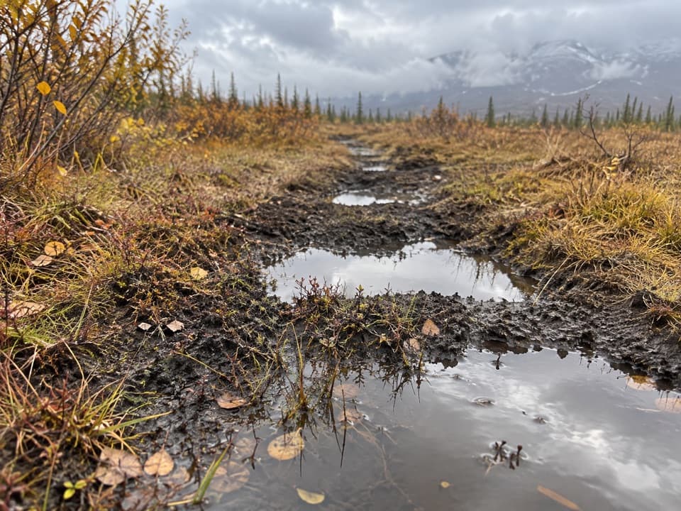
This suits hikers comfortable with an uneven, wet route and a long day out. There is no single smooth tread to follow: the ATV track sometimes climbs onto nearby hills and vegetated benches, and can be hard to pick out. Motorized ATV use is allowed, so share the corridor.

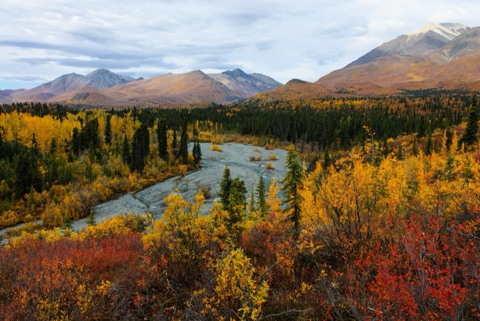
Crossings and rocky footingExpect several creek crossings in the first four miles.

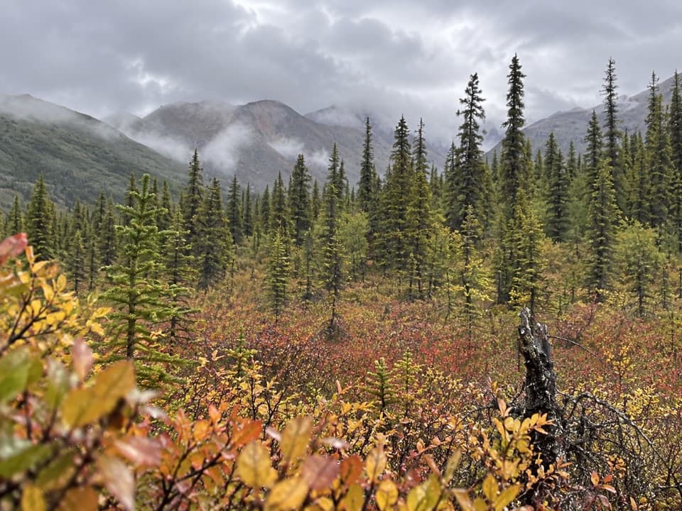
Expect several creek crossings in the first four miles. Staying east of the channel may avoid some of them, but the parallel track can be elusive. The lower five or six miles are very rocky, with sections of loose scree where you may need to scramble. A shorter option is to turn around at the mouth of Trail Creek Canyon, about four miles in, for an 8-mile round trip.

Where the canyon closes inAt the canyon mouth the open creekbed gives way to a narrower valley.

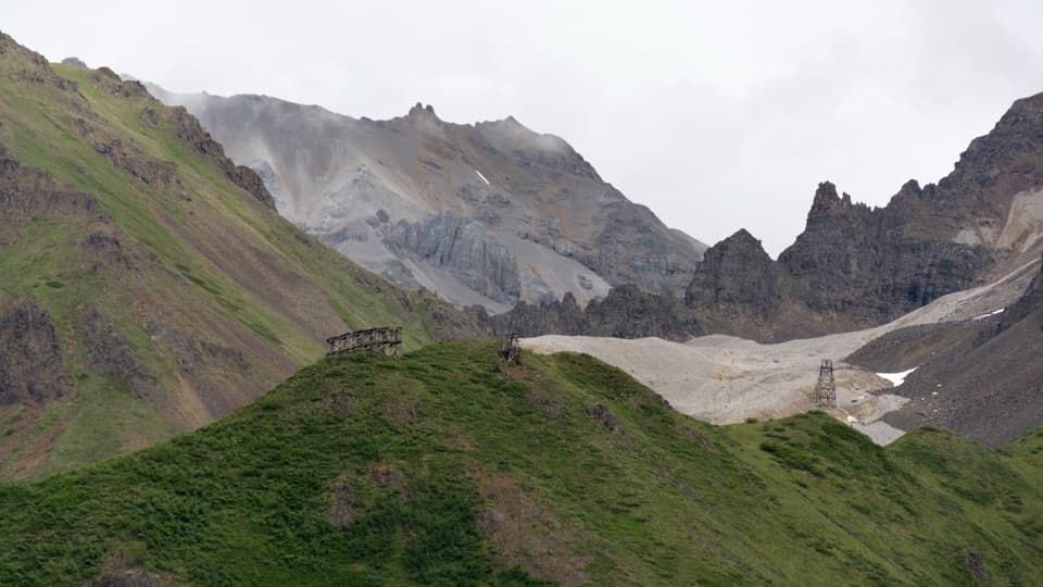
At the canyon mouth the open creekbed gives way to a narrower valley. For the last two miles of the maintained route, low gravel benches along the east side carry alpine vegetation, and there are campsites above the east side of the creek. The end-of-ATV-trail sign is the turnaround for this listing; continuing to the pass adds about four miles one way. Dall sheep use the canyon walls, though sightings are never guaranteed. At the canyon mouth, include a stretch of creekbed in the foreground to show how the walls narrow around it.

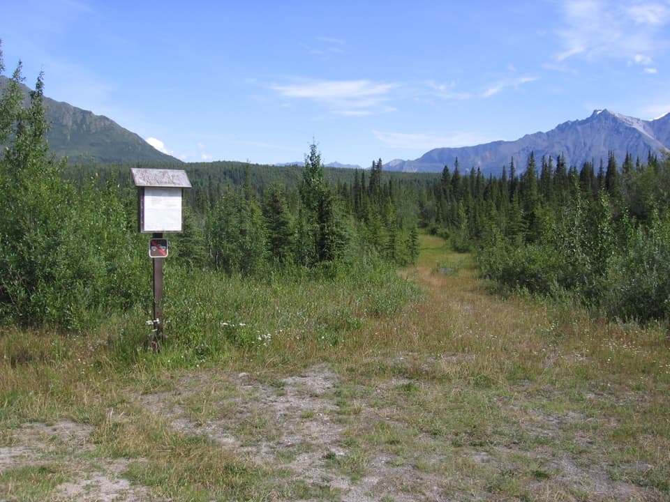
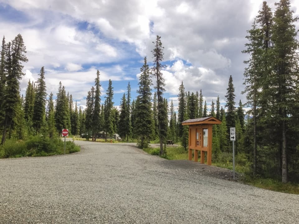
Road access and hazardsThe trailhead is where Trail Creek crosses Nabesna Road at mile 29.8.

The trailhead is where Trail Creek crosses Nabesna Road at mile 29.8. Park along the roadside on firm ground outside the creek drainage; flash floods can run through it. Nabesna Road’s creek crossings can require high clearance or four-wheel drive after spring runoff or prolonged rain, so check road conditions before heading in. The creek can rise several feet over a warm day and may rise suddenly during or after rain; a ford that is easy in the morning can be impassable by late afternoon. Bears are present in the area.

Wildlife

Wildlife in Wrangell-St. Elias

All Wrangell-St. Elias wildlife maps

Sighting maps show where each species has been reported across Wrangell-St. Elias. Wildlife moves, so no sighting is guaranteed.

Keep exploring

Near Trail Creek Trail

See it all on the map

Trails that start nearby

Places near the trailhead

Parkwolf’s Wrangell-St. Elias ranking

Top-rated trails in Wrangell-St. Elias

All 28 trails
  1. 1Root Glacier TrailModerate · 4.5 mi
  2. 2Bonanza Mine TrailChallenging · 9 mi
  3. 3Skookum Volcano TrailModerate · 5 mi
  4. 4Jumbo Mine TrailChallenging · 10 mi
  5. 5Caribou Creek TrailModerate · 7 mi
  6. 6Crystalline Hills TrailModerate · 2.5 mi

Take Parkwolf to Wrangell-St. Elias.

The audio tour guide for the drive, plus offline maps, trails, and wildlife heatmaps for when the signal drops.

4.7 from 8,600+ ratings

Download Parkwolf on the App StoreGet Parkwolf on Google Play