Parking
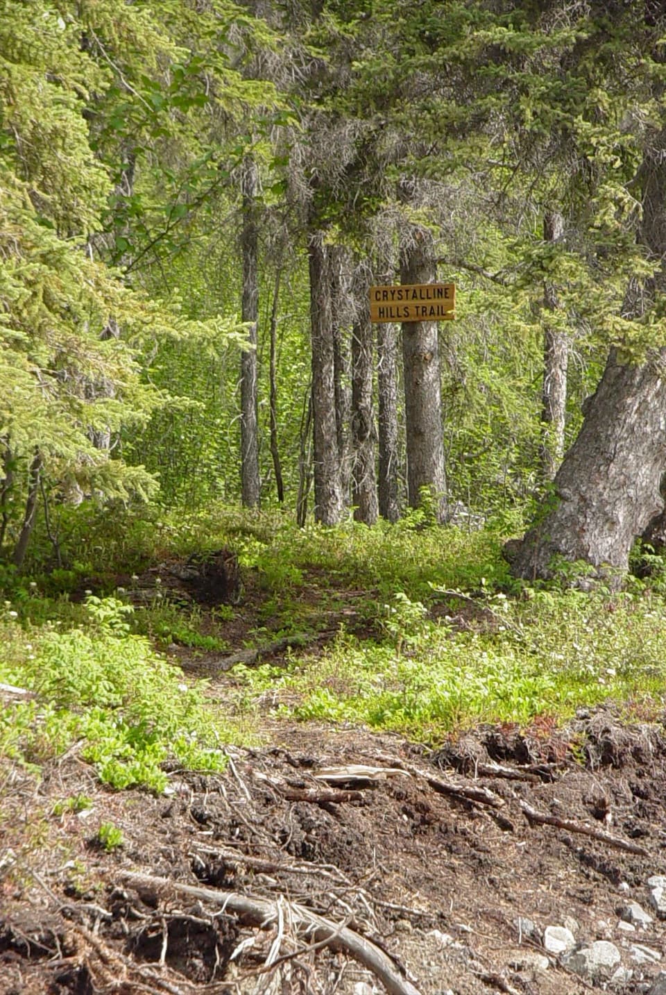
Use the signed Trail Creek crossing on Nabesna Road at mile 29.8. The complete loop comes out at the Lost Creek crossing near mile 31.2; include the roughly 1.5-mile walk along the road back to your vehicle.
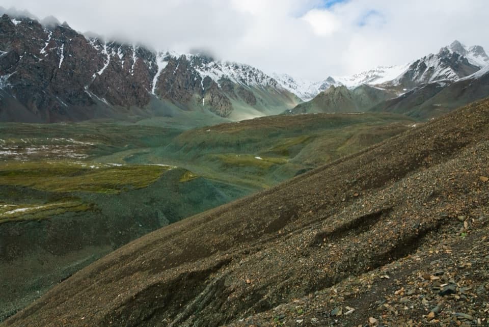
Wrangell-St. Elias National Park, AK
A remote creek-to-creek loop over a 6,000-foot pass.
Photo: Wrangell-St. Elias National Park, Bryan Petrtyl / NPS
Overview
Trail Creek to Lost Creek Loop is a remote backcountry circuit linking two creek drainages over a roughly 6,000-foot pass. The detailed route estimate is 22.5 miles total, including the road walk between signed trailheads; published figures range up to 24 miles. Allow three to four days. This is strenuous travel through country where much of the route is trail-less, not a maintained hiking path. It suits experienced parties who can navigate with a map and compass, ford cold streams, and change course when terrain or water makes the intended line a poor choice.
 Parkwolf’s verdictIs this the hike for you?
Map & elevation
Plan your hike

The highest, rockiest slopes around here are a summer buffet for grizzly bears.
Wrangell-St. Elias Tour Guide
Parkwolf is a GPS audio tour guide for Wrangell-St. Elias National Park. As you drive, it chimes in with what’s ahead: hidden gems, upcoming stops, history, geology, and wildlife, right through your car’s speakers.
See the Wrangell-St. Elias audio tourRecorded for this trailhead
Trail Creek Canyon Hike“Trail Creek's trailhead is coming up, for a rough hike into a narrow alpine canyon.”
Plays as you drive up to this trailhead in the Parkwolf Wrangell-St. Elias Tour Guide.
More stories near here in the app
“Fantastic app with many points of information… It’s great to just turn on while you’re driving and it gives you an audio tour of the national Park. We love it!!!!”


Trail guide
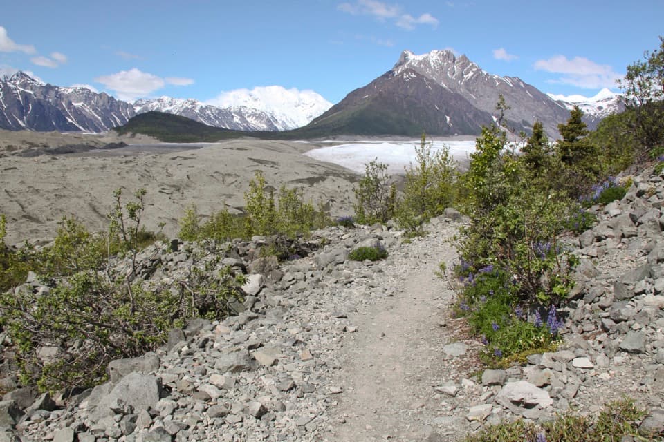
Start at the signed Trail Creek crossing on Nabesna Road, mile 29.8. The first four miles follow a rocky, braided creekbed with several crossings. A sometimes-elusive ATV track parallels the water over neighboring hills and vegetated benches; it can save some fords, but don't count on seeing it continuously. After about six miles, the ATV track ends. Continue into the first major side canyon on the east side and work around canyon obstacles as you climb toward the pass. Gravel bars are one option; higher tundra brings broader views.
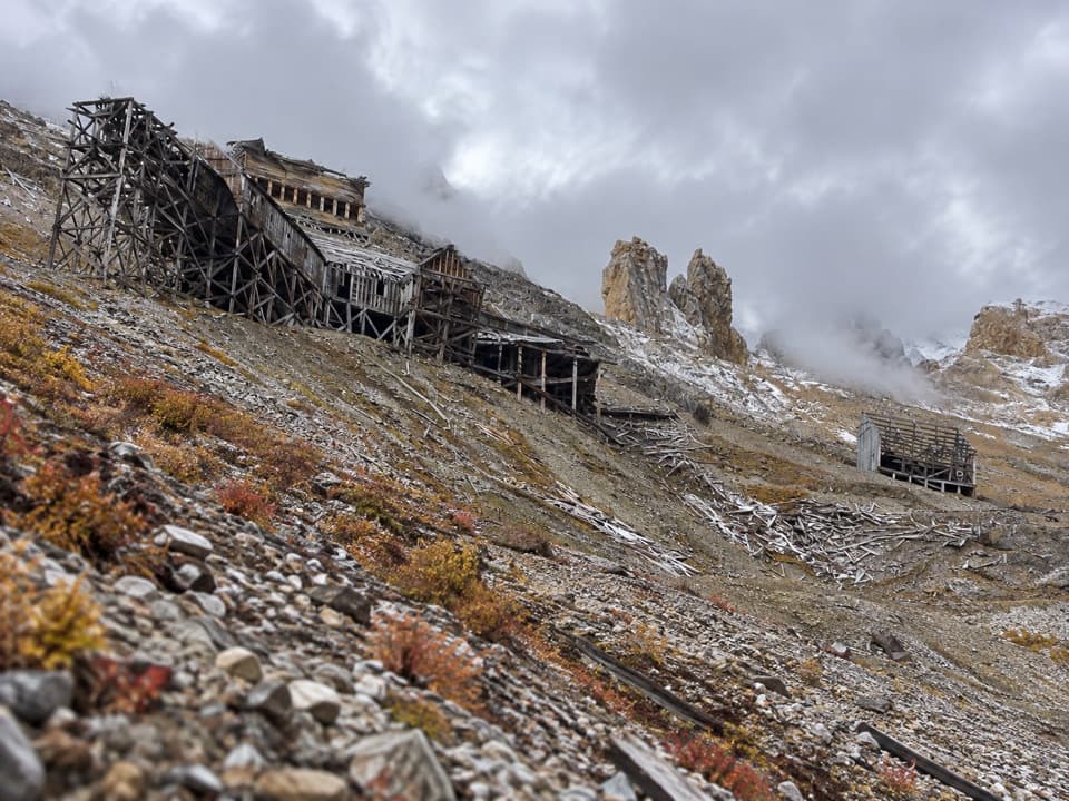
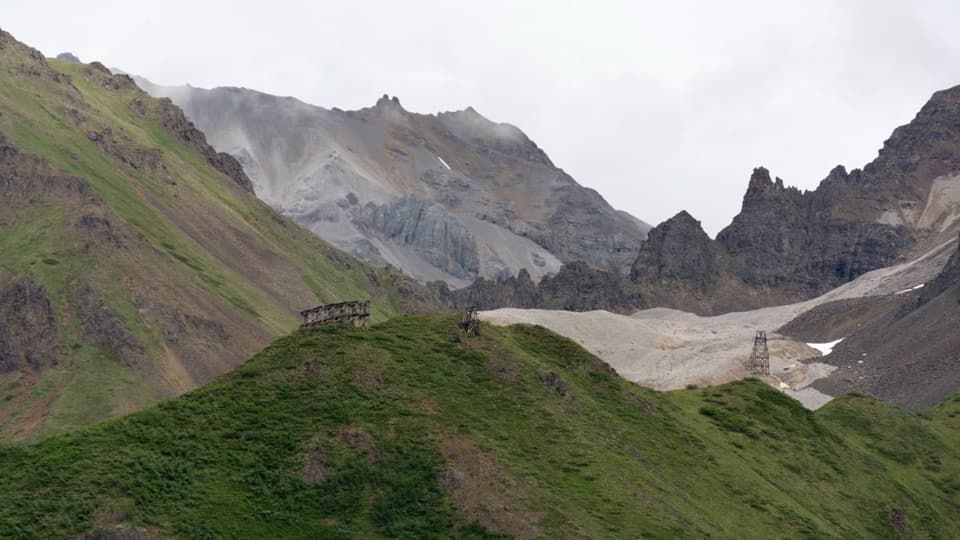
The route climbs from about 3,000 feet to the pass near 6,000 feet. In the upper basins, look for Noyes Mountain, rock glaciers, and hardy alpine plants. The route sheet points hikers to sheep trails along the north-side walls. Dall sheep, marmots, and wildflowers are possible along the way, though wildlife is never guaranteed. From the pass, Lost Creek opens below. For a photo, include the grassy ridge in the foreground so the creek valley reads as a long descent rather than a close-up of rock.
From the pass, a grassy tundra ridge down the middle of Lost Creek valley is easier walking and gives a better view than dropping straight into the rocky streambed. Follow it about a mile, then descend between the first two forks to the creek bottom. The gorge ahead blocks passage along the creek. Climb about 300 feet on the west side, traverse roughly 1.5 miles of vegetated benches around a ravine, then drop back to the gravel banks. Farther down, cross to the east side and follow gravel bars and terraces of willow and dwarf birch. The route passes the ATV trail junction for Big Grayling Lake before following Lost Creek to Nabesna Road.
Creek levels rise with snowmelt and can climb several feet during a warm day or after heavy rain. A ford that is manageable in the morning may be unsafe later, so be ready to wait or change your route. Expect rough, ankle-testing creekbeds, scree, and little help nearby; map-and-compass skills are part of the trip. Bears are present, and all backcountry food must be stored in a bear-resistant container. Dogs are allowed on the route when kept on a leash no longer than six feet. The loop reaches the signed Lost Creek crossing around Nabesna Road mile 31.2; include the roughly 1.5-mile walk along the road back to Trail Creek.
Wildlife
 113 sightingsGrizzly BearMost seen around 9 PMSighting map
 66 sightingsMooseMost seen around 8 PMSighting map
 21 sightingsHumpback WhaleMost seen around 1 PMSighting map
 46 sightingsSteller Sea LionMost seen around 11 AMSighting map
 39 sightingsBlack BearMost seen around 8 PMSighting map
 48 sightingsBald EagleMost seen around 5 PMSighting map
Sighting maps show where each species has been reported across Wrangell-St. Elias. Wildlife moves, so no sighting is guaranteed.
Keep exploring
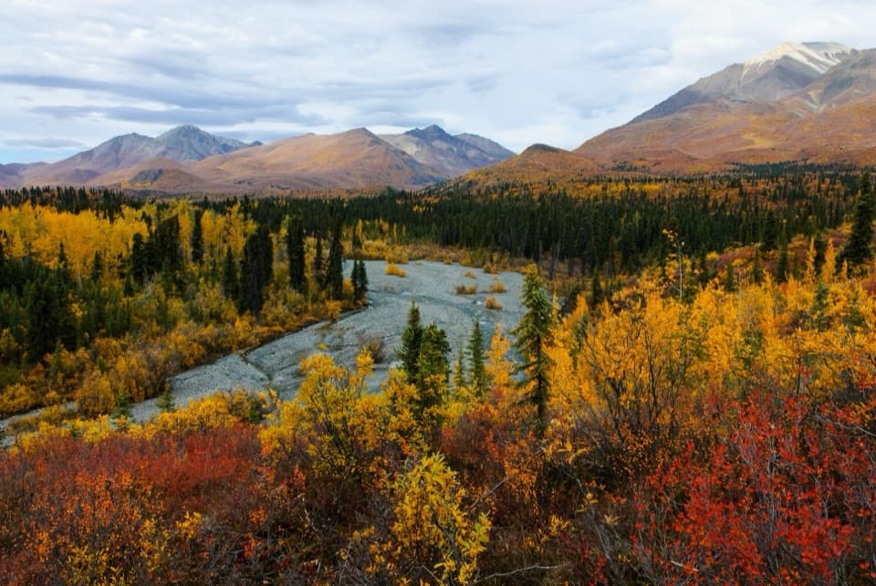 ModerateTrail Creek Trail12 mi · 7 hr · At the trailheadA rough creekbed walk into a narrow alpine canyon.
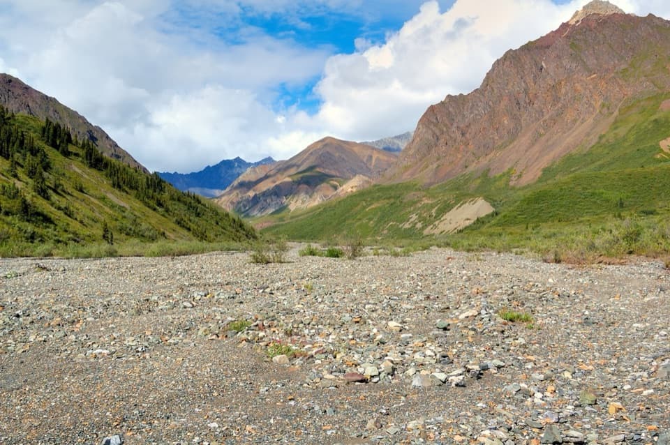 ChallengingLost Creek Trail14 mi · 7 hr · 1.8 mi awayA rocky creekbed hike into open tundra and Dall sheep country.
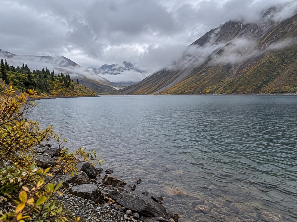 ChallengingSoda Lake Trail29 mi · 2.5 days · 1.8 mi awayA turquoise landslide lake, reached by a remote creek-crossing trek.
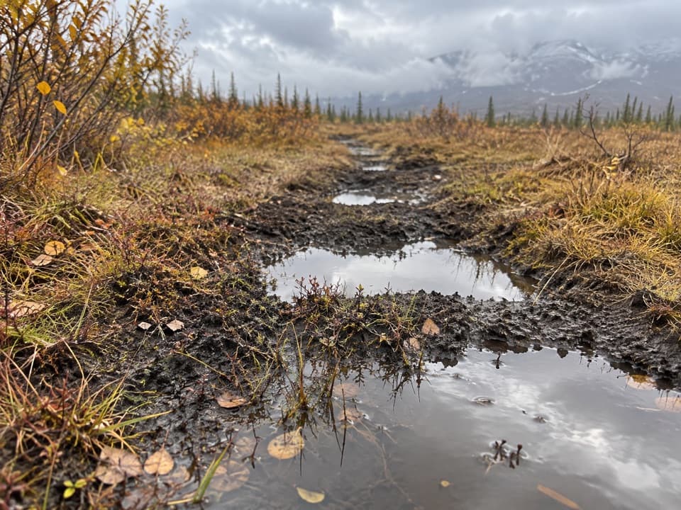 ChallengingTanada Lake Trail34.6 mi · 6 days · 4.9 mi awayA remote, boggy route toward Sheep and Grizzly Lakes.
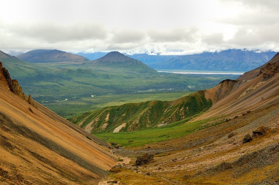 ModerateSkookum Volcano Trail5 mi · 3 hr · 6.4 mi awayCreek crossings lead into an eroded volcano and a high pass
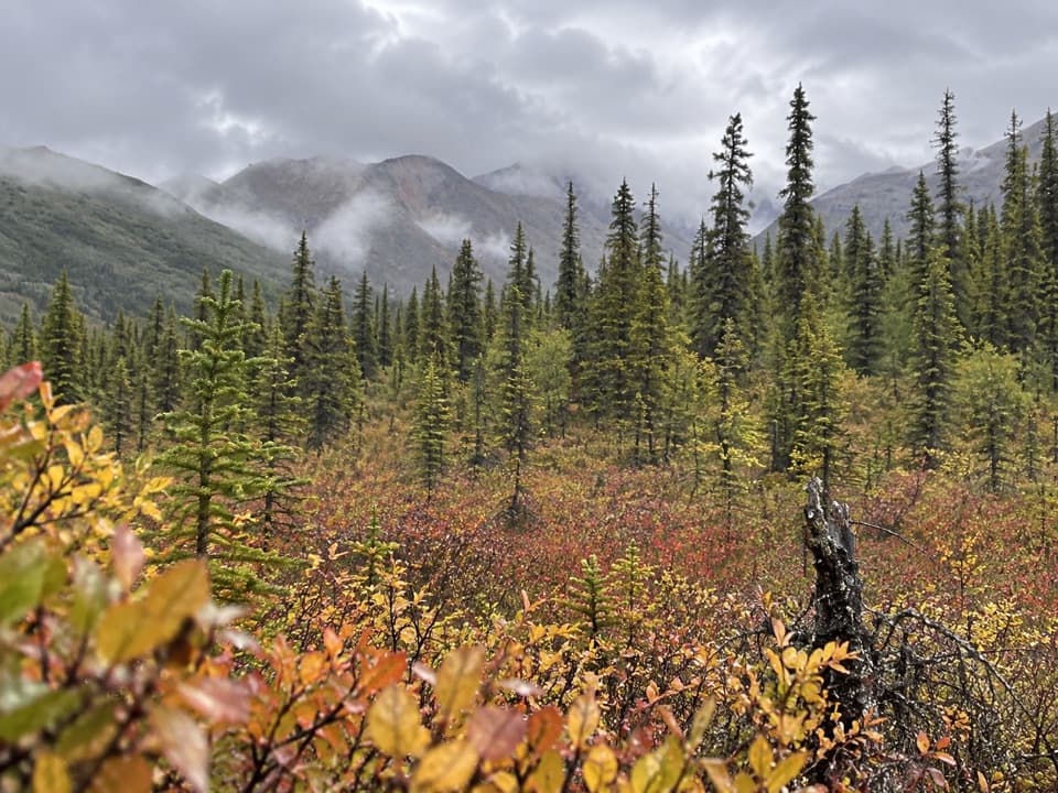 ModerateCaribou Creek Trail7 mi · 4 hr · 9.6 mi awayWalk to a backcountry cabin through tundra and creek crossings.
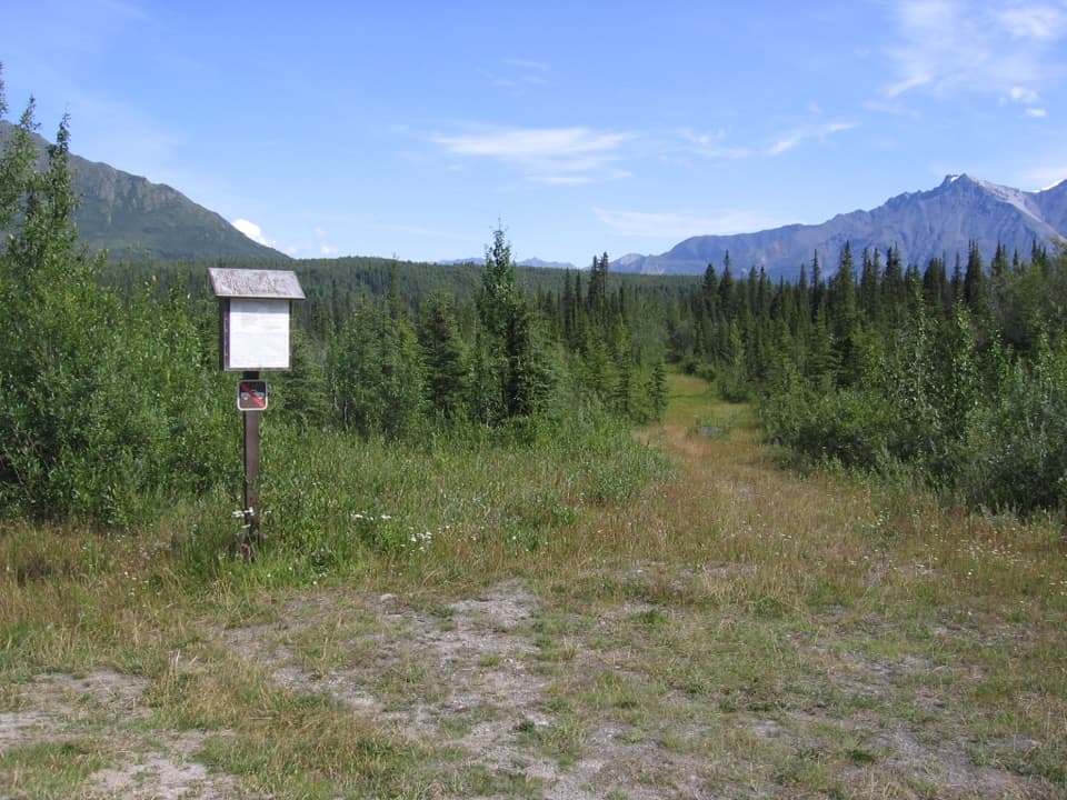 ChallengingReeve's Field Trail8.5 mi · 8.5 hr · 10.4 mi awayA remote route to river views and a 1941 airlift story
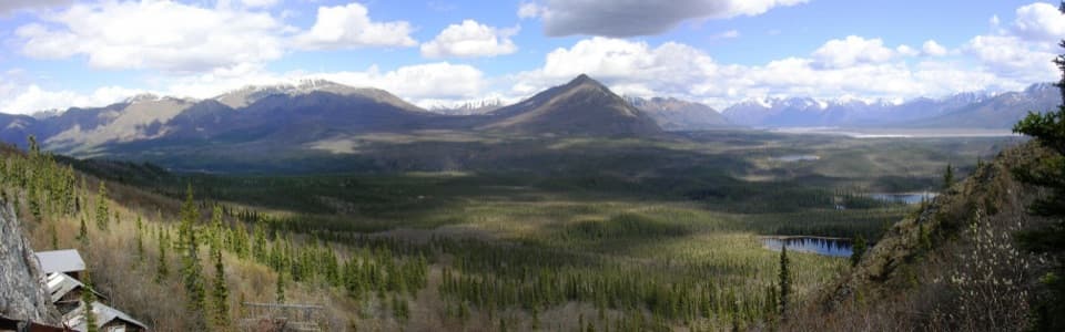 ModerateRambler Mine Trail1.5 mi · 1.8 hr · 11.4 mi awayA steep forest climb to historic mine remains and broad valley views.
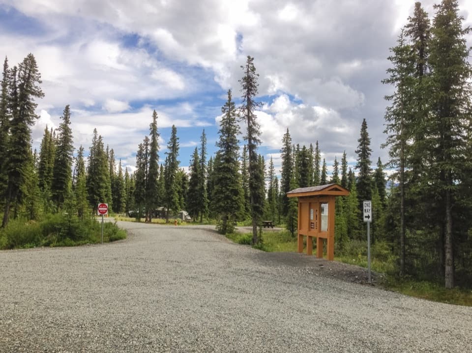 Campground · 1.2 mi awayKendesnii CampgroundA quiet Twin Lakes campground on the rough Nabesna Road.
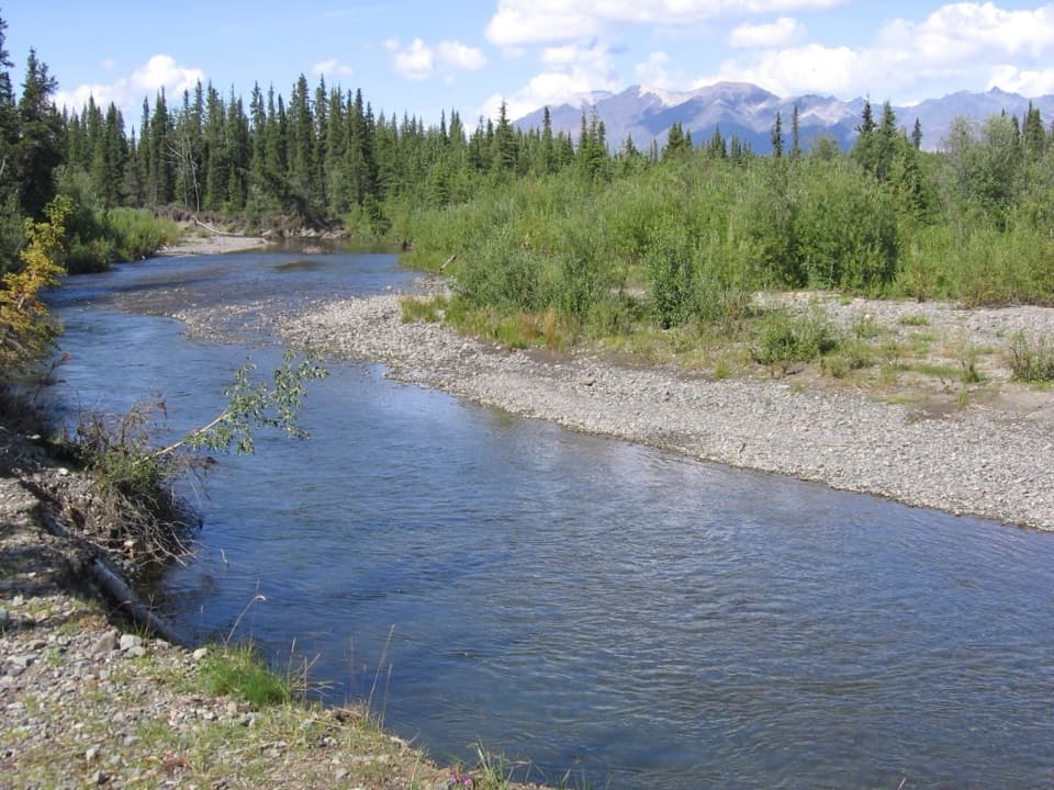 Campground · 5.6 mi awayJack Creek Rest AreaA primitive creekside camp with fishing and sheep country nearby.
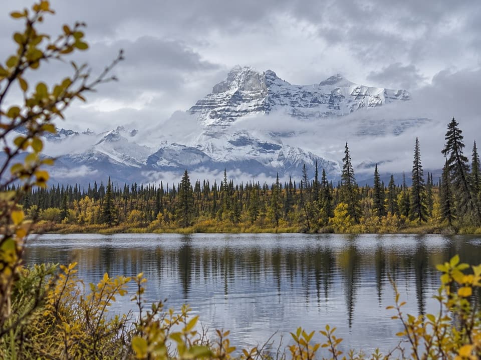 Sight · 6.8 mi awayRock Lake WaysideA quiet lake break with the Wrangell Mountains across the water.
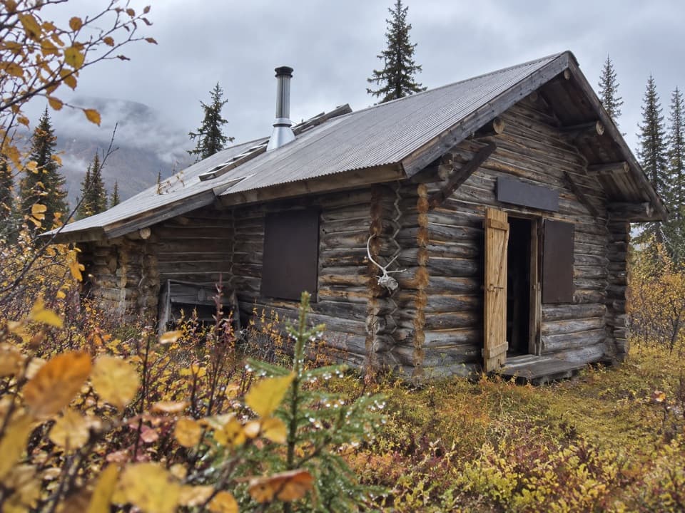 Lodging · 7 mi awayViking Lodge CabinA short spruce walk leads to a real NPS cabin.
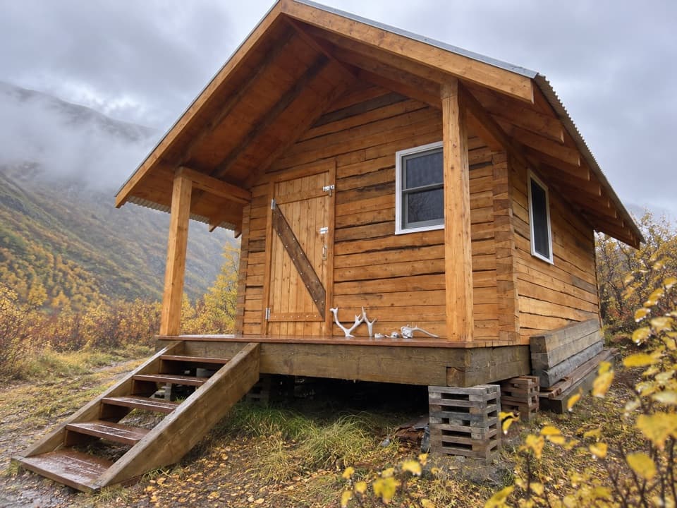 Lodging · 10 mi awayCaribou Creek CabinA two-person backcountry cabin at the end of a three-mile hike.
Parkwolf’s Wrangell-St. Elias ranking
The audio tour guide for the drive, plus offline maps, trails, and wildlife heatmaps for when the signal drops.