Place · 0.8 mi away

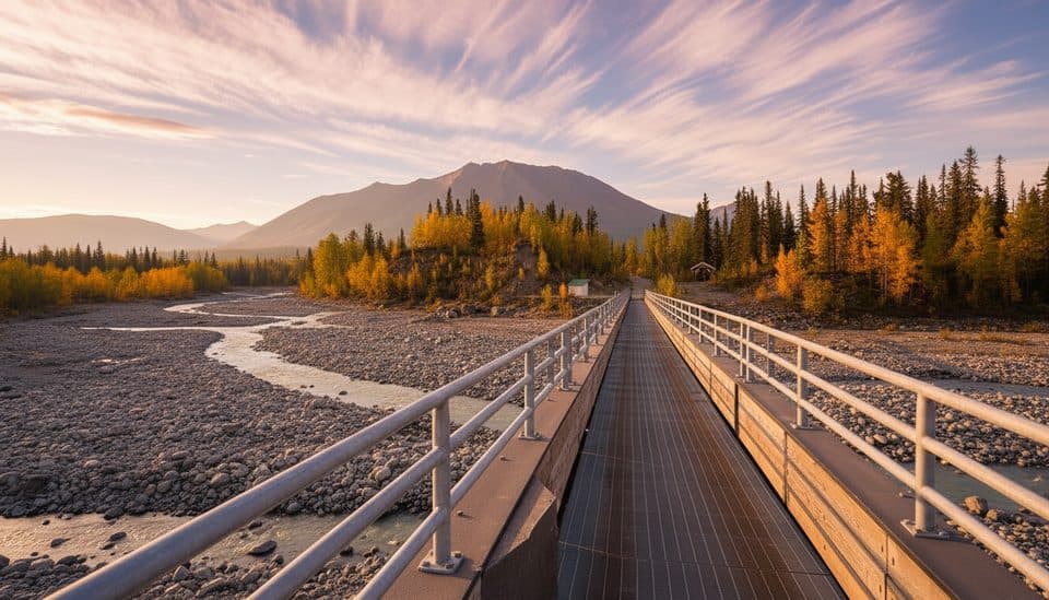
Sitting at Mile 59, the McCarthy Road Information Station is your final, practical stop before crossing the footbridge into McCarthy. It’s a self-service kiosk open in summer with restrooms and day-use parking, plus the latest posted info on parking logistics, local shuttle options, and what’s happening in McCarthy and Kennecott.
The 60-ish miles from Chitina to the footbridge are mostly gravel and can throw you washboard, potholes, soft shoulders, dust, and the occasional one-lane bridge. Figure on 2–3 hours one way in good conditions. There’s no fuel, food, or towing along the road and cell coverage is spotty, so fuel up before Chitina and carry a real spare, jack, tire kit, water, and basics. Drive unhurried—think sub‑35 mph—and you’ll be happier.
Signature sights along the way include the Kuskulana River Bridge and the Gilahina Trestle ruins. Both merit a slow roll and a pullout stop if conditions allow.
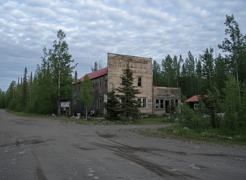
This is the handoff point from car travel to foot travel. You’ll park for the day, sort shuttle details, grab current info, and then head across the footbridge into McCarthy. If you’re pushing on to Kennecott, confirm shuttle schedules or plan your walk—winter visitors should note that vehicle access and shuttle service don’t operate then, making it foot or ski only.
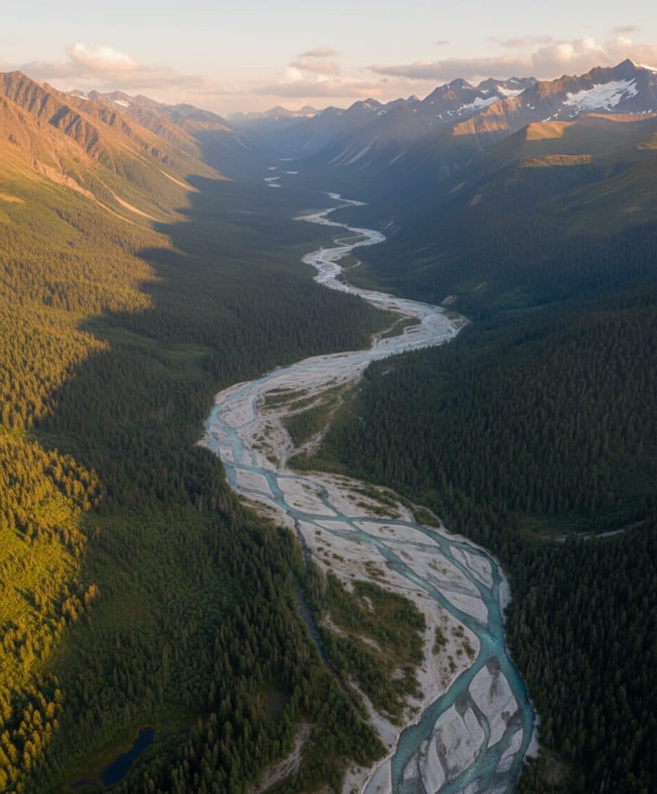
The road approach can deliver moose, black bears, bald eagles, and even porcupines. Keep your distance, secure food and trash, and enjoy the sightings from your vehicle or designated pullouts.
Summer is prime: the kiosk is open, shuttles run, and facilities are available. Aim to arrive early in the day for easier parking, fewer cars on the road, and better chances of wildlife. Late afternoon light can be lovely on the bridges and trestles if you’re stopping for photos on the way in or out.