Wagon Road Trail (McCarthy Access) in Wrangell-St. Elias National Park

Wrangell-St. Elias National Park, AK

Wagon Road Trail (McCarthy Access)

Historic forest route from McCarthy to Kennecott Mill Town

Photo: National Park Service
Length
4.5mi
Time
2hr
Elev. change
545ft
Difficulty
Easy
  • Dogs allowed
  • High point 1,965 ft

Hear the audio tour

McCarthy, the Gateway to Kennecott

Overview

About Wagon Road Trail (McCarthy Access)

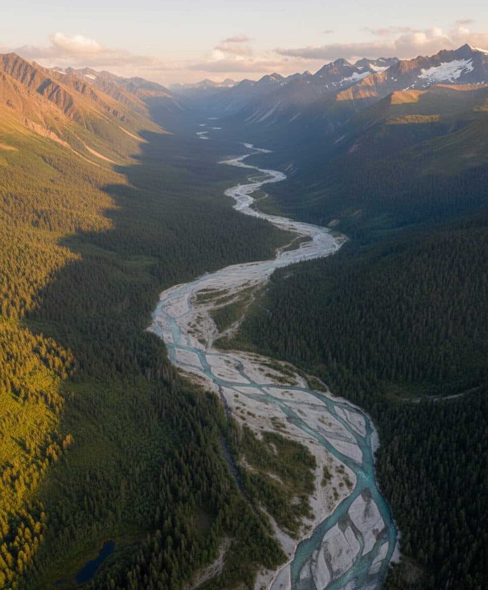
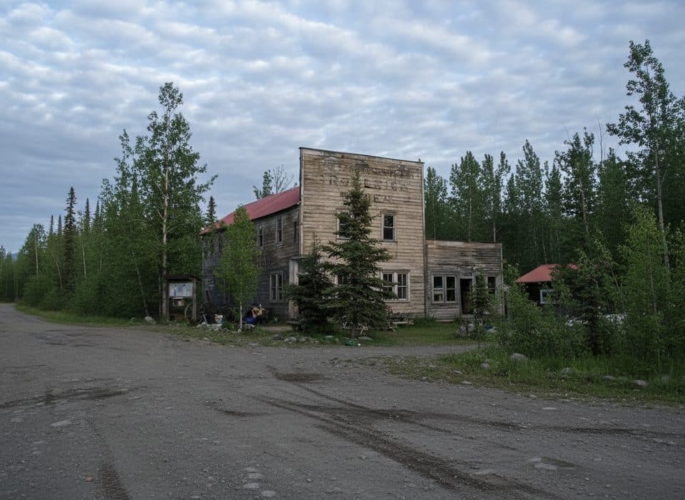
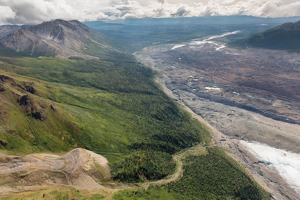
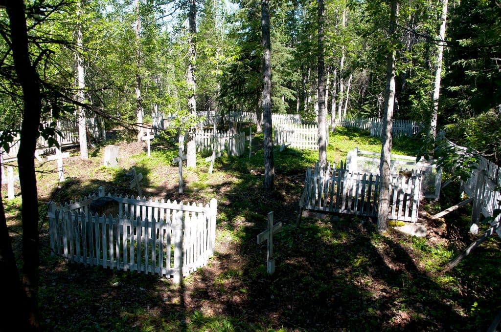
The Wagon Road is a historic forest route connecting the McCarthy area with Kennecott Mill Town. It is a quieter alternative to the Kennecott Road and follows the old wagon-road corridor through boreal forest, with views toward the Kennicott Glacier and a historic cemetery near Kennecott. This is a point-to-point hike: plan on 4.5 miles one way and about 9 miles for the full out-and-back.

Why go

  • Historic forest connection between McCarthy and Kennecott
  • Quieter alternative to Kennecott Road with cemetery and glacier views

Heads up

  • Point-to-point logistics require a shuttle or a return walk
  • Narrow, rocky multi-use route with private-property sections and bear country
Choose the Wagon Road for a quieter, historic connection between McCarthy and Kennecott when you can arrange a shuttle or are prepared for the full return walk.
Parkwolf’s verdictBottom line

Map & elevation

The route

Loading the Wrangell-St. Elias map
Full map
Elevation1,421–1,965 ft
TrailheadWagon Road access near the McCarthy Museum61.43645, -142.91591
Keep this map with you offline in the Parkwolf app

Plan your hike

Before you go

Parking

Arrange permitted parking in McCarthy or near the Kennicott River footbridge, then walk to the McCarthy Museum area. Follow the main road toward Kennecott for about 1,000 feet to the signed Wagon Road access; respect private property and stay on the road.

Safety

Bear country: carry bear spray, make noise, and secure food. The route is narrow, rocky, bumpy, and shared with bikes; stay on the signed route through private-property sections. The separate glacier-toe fork has slippery glacial silt and cold meltwater.

A park ranger sits on a dash-mounted phone, talking, as Parkwolf’s Tour Guide plays “Army Cutworm Moths: A Grizzly Bear Buffet” on Grand Loop Road below Dunraven Pass in Yellowstone
Parkwolf Tour GuideThe highest, rockiest slopes around here are a summer buffet for grizzly bears.

Wrangell-St. Elias Tour Guide

Your drive to Wagon Road Trail (McCarthy Access), narrated.

Parkwolf is a GPS audio tour guide for Wrangell-St. Elias National Park. As you drive, it chimes in with what’s ahead: hidden gems, upcoming stops, history, geology, and wildlife, right through your car’s speakers.

See the Wrangell-St. Elias audio tour

Recorded for this area

McCarthy, the Gateway to Kennecott
Listen
“You're coming up on the town of McCarthy, the small community at the end of the road. This is the gateway to the Kennecott Mines, but it has its own distinct, rustic vibe.”

Plays on the road 0.3 mi from the trailhead in the Parkwolf Wrangell-St. Elias Tour Guide.

More stories near here in the app

  • McCarthy Footbridge: Crossing the Kennecott River
  • McCarthy Road End Information Station
  • Kennicott’s Rock Blanket & Root Glacier Hike
  • Kennecott Mines: A Preserved Copper Boomtown
  • 98 audio storiesacross Wrangell-St. Elias’s roads, triggered by GPS as you drive
  • Wildlife heatmapsfor Grizzly Bear, Moose, Humpback Whale, and 13 more
  • Works offlinemaps, 13 trails, 28 places, and audio download before you lose signal
  • CarPlay readysimple controls built for the drive
★★★★★
“Fantastic app with many points of information… It’s great to just turn on while you’re driving and it gives you an audio tour of the national Park. We love it!!!!”
JMJamesApp Store review
Download Parkwolf on the App StoreGet Parkwolf on Google Play

4.7 from 8,600+ ratings

Trail guide

Hiking Wagon Road Trail (McCarthy Access)

Route and accessStart near the McCarthy Museum.

Start near the McCarthy Museum. Follow the main road toward Kennecott for about 1,000 feet, then turn left at the Wagon Road access just past the red-and-white Tony Zak Community Center; additional side-road access points exist, but respect private property and stay on the road. Continue straight on the Wagon Road to Kennecott Mill Town. The route can also be accessed from Kennecott, and a shuttle can solve the one-way logistics. The separate fork toward the Toe of the Kennicott Glacier is not part of this Mill Town route.

What it’s likeThe NPS describes an easy-to-moderate, slowly ascending walk that takes about 1–3 hours one way.

The NPS describes an easy-to-moderate, slowly ascending walk that takes about 1–3 hours one way. The historic Kennecott cemetery is about one mile from Kennecott. The trail is also open to bikes, but it can be narrow, rocky, bumpy, wet, and shared with other users.

SafetyThis is bear country: carry bear spray, make noise in dense brush, and secure food.

This is bear country: carry bear spray, make noise in dense brush, and secure food. Stay on the signed route through private-property sections, respect landowners, and avoid shortcutting. If exploring the separate glacier-toe fork, use extra caution around meltwater and slippery glacial silt.

Wildlife

Wildlife in Wrangell-St. Elias

All Wrangell-St. Elias wildlife maps

Sighting maps show where each species has been reported across Wrangell-St. Elias. Wildlife moves, so no sighting is guaranteed.

Parkwolf’s Wrangell-St. Elias ranking

Top-rated trails in Wrangell-St. Elias

All 13 trails
  1. 1Bonanza Mine TrailChallenging · 9 mi
  2. 2Skookum Volcano TrailModerate · 5 mi
  3. 3Trail Creek- Lost Creek LoopChallenging · 22.5 mi
  4. 4Jumbo Mine TrailChallenging · 10 mi
  5. 5Caribou Creek Trail: Nabesna RoadModerate · 6 mi
  6. 6Soda Lake TrailChallenging · 29 mi

Take Parkwolf to Wrangell-St. Elias.

The audio tour guide for the drive, plus offline maps, trails, and wildlife heatmaps for when the signal drops.

4.7 from 8,600+ ratings

Download Parkwolf on the App StoreGet Parkwolf on Google Play