Parking
Use the Cygnet Lakes Trailhead (4N3) roadside pullout on Norris–Canyon Road. Parking and an information kiosk are listed at the trailhead.
Yellowstone National Park, WY · MT · ID
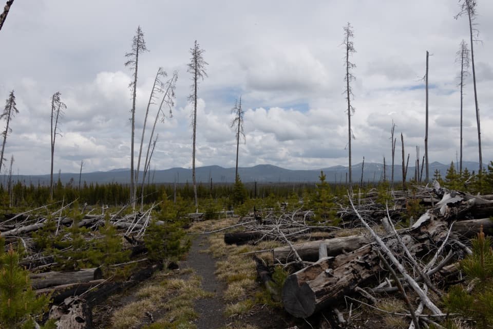
An exposed lodgepole walk reaches a marshy meadow with waterfowl.
Overview
Map & elevation
Plan your hike

The highest, rockiest slopes around here are a summer buffet for grizzly bears.
Yellowstone Tour Guide
Parkwolf is a GPS audio tour guide for Yellowstone National Park. As you drive, it chimes in with what’s ahead: hidden gems, upcoming stops, history, geology, and wildlife, right through your car’s speakers.
See the Yellowstone audio tourRecorded for this area
Rowing Across the Surface“Watch a quiet pond edge and you may spot insects skating across the water. Those are water striders. Their long legs spread their weight, and tiny water-repellent hairs help keep them from breaking through the surface.”
Plays on the road 0.2 mi from the trailhead in the Parkwolf Yellowstone Tour Guide.
More stories near here in the app
“First time driving through a national park. We used the Yellowstone tour on grand loop Road and it’s just like having a tour guide in your car with you.”


Trail guide
Cygnet Lakes is an 8.2-mile (13.2 km) out-and-back from trailhead 4N3 to a chain of small lakes in a meadow, then back the same way. The route is mostly level and exposed; allow about 3 to 3½ hours of walking. Go for a steady forest hike and the chance to watch waterfowl. The lake meadow is a modest finish if you’re expecting a dramatic shore or a string of big overlooks.
The marked path heads southwest from the roadside pullout through lodgepole stands of different ages. Sections of burned trees and young regrowth open the forest, with small wet ponds along the way. It stays mostly level overall, though the tread can be uneven. A view over Otter Creek gives you a brief change from the steady forest walk.
The trail ends at a broad meadow with a small cluster of boggy lakes. Marshy edges keep you from getting close to the water, so this is better for looking across the wetland and watching for waterfowl than for a lakeside stop. Turn around at the meadow and retrace the same corridor.
Start at Cygnet Lakes Trailhead (4N3) on Norris–Canyon Road; parking and an information kiosk are listed at the access. Toilets and drinking water were not confirmed, so bring what you need. Pets aren’t allowed. The park recommends hiking in groups of three or more, carrying a map and knowing how to navigate, and staying off the trail after dark.
Wildlife
 713 sightingsGrizzly BearMost seen around 6 AMSighting map
 743 sightingsWolfMost seen around 6 AMSighting map
 5,273 sightingsBisonMost seen around 7 AMSighting map
 3,258 sightingsElkMost seen around 7 PMSighting map
 397 sightingsMooseMost seen around 7 PMSighting map
 1,494 sightingsBlack BearMost seen around 7 PMSighting map
Sighting maps show where each species has been reported across Yellowstone. Wildlife moves, so no sighting is guaranteed.
Keep exploring
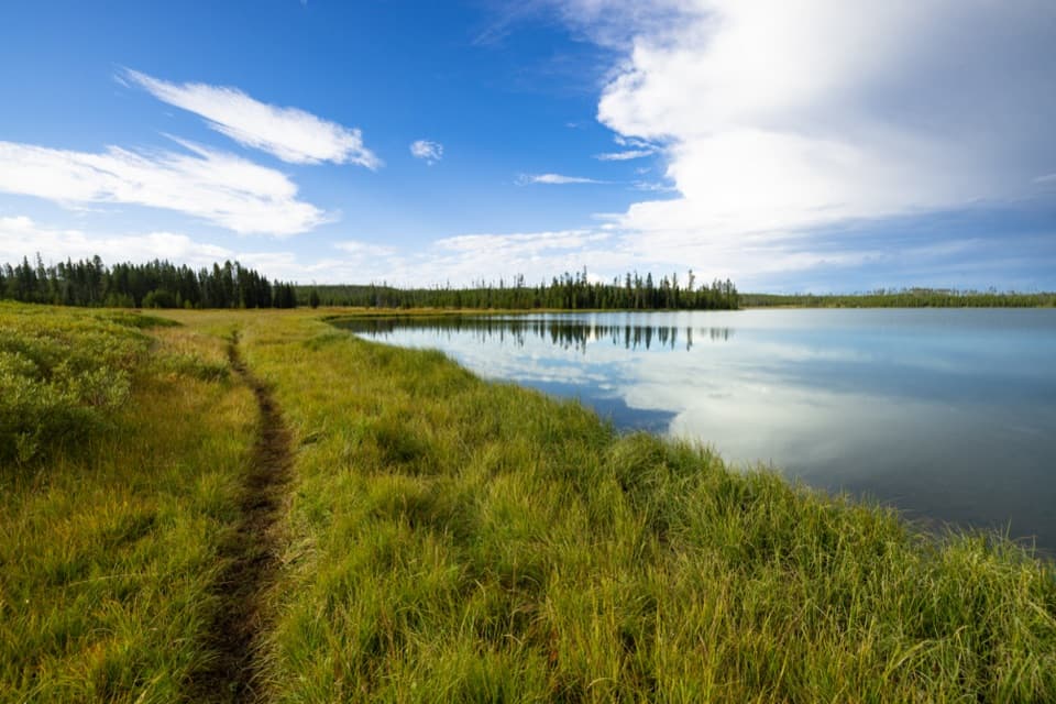 EasyGrebe Lake Trail6.2 mi · 3.5 hr · 1.4 mi awayA long, gentle fire road walk to a lakeside turnaround.
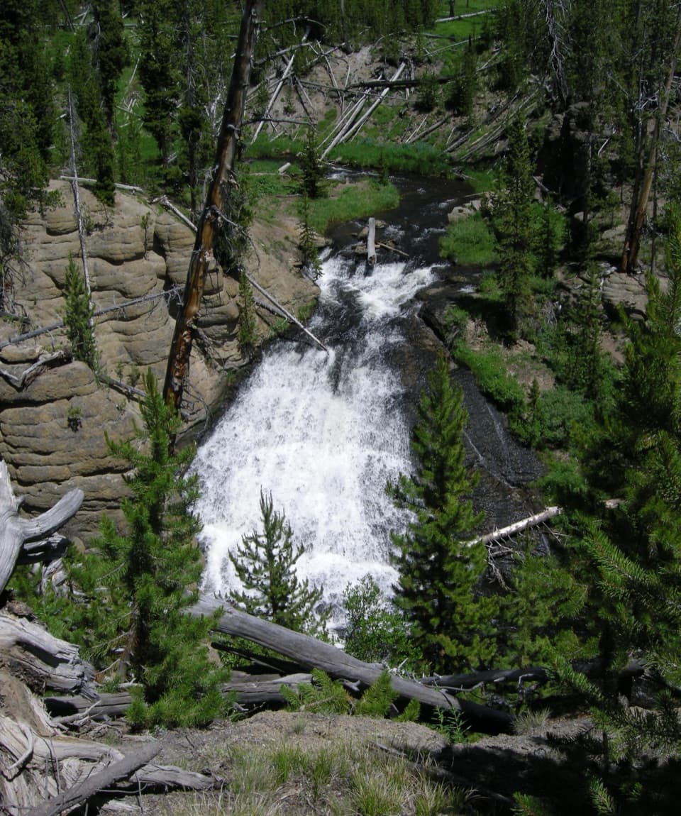 EasyWolf Lake Trail2.4 mi · 1.5 hr · 2.7 mi awayA short waterfall walk through Yellowstone's forest and wet meadows.
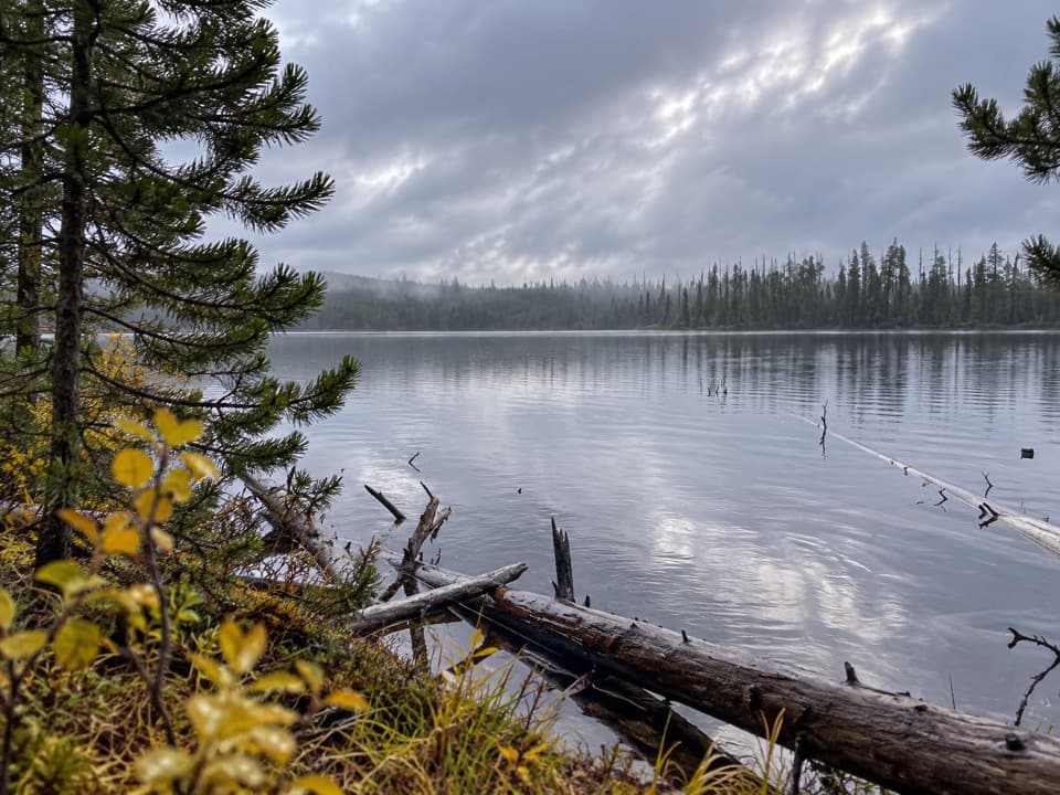 EasyIce Lake Trail1 mi · 45 min · 3.1 mi awayA short forest walk to the western edge of Ice Lake.
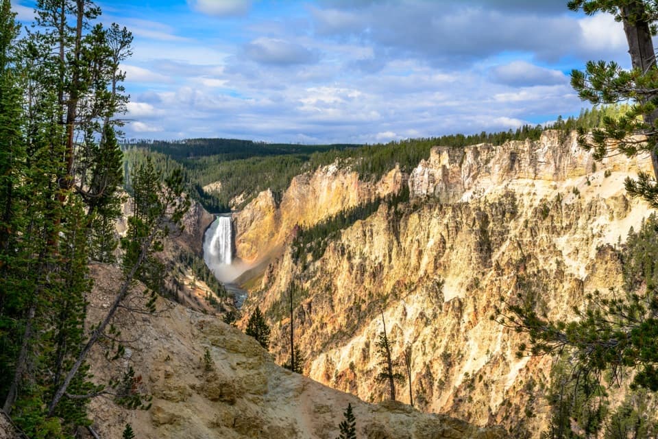 ModerateNorth Rim Trail7 mi · 4 hr · 3.4 mi awayConnect the North Rim's waterfalls and canyon overlooks on foot.
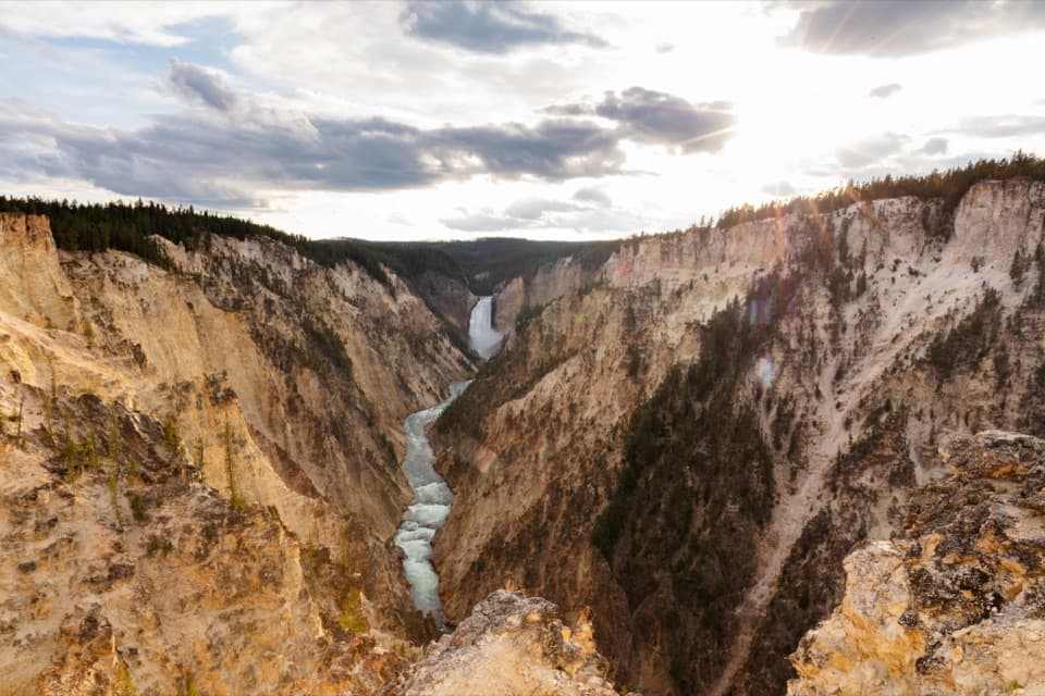 ModerateSouth Rim Trail3.6 mi · 2 hr · 3.5 mi awayUpper and Lower Falls, with canyon views between them
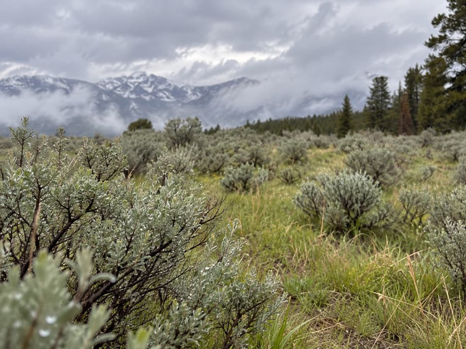 ModerateSour Creek Trail5.2 mi · 2.5 hr · 3.6 mi awayMeadows, steam vents and creek crossings in Sour Creek country
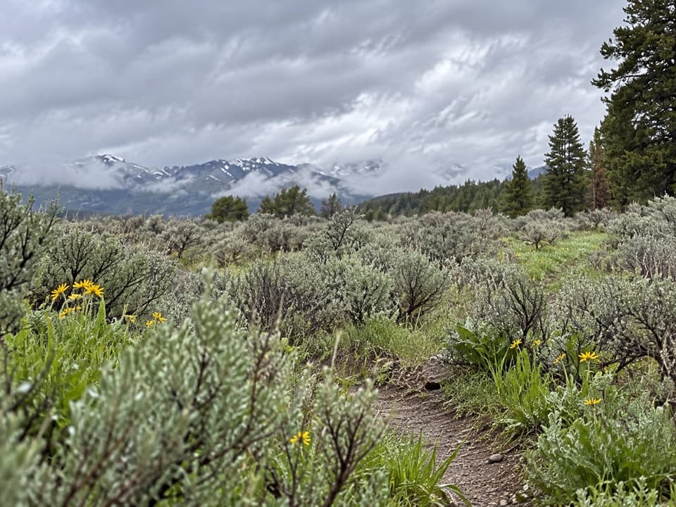 ChallengingWapiti Lake Trail30.6 mi · 13 hr · 3.6 mi awayA 30.6-mile backcountry round trip to camps near Wapiti Lake.
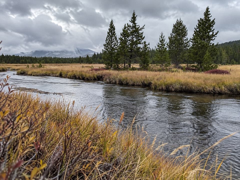 ModerateWrangler Lake Trail8 mi · 4 hr · 3.6 mi awayCreek crossings lead through Hayden Valley to a backcountry lake.
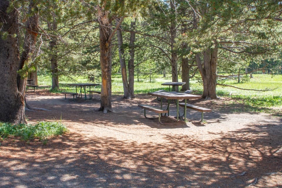 Picnic area · 3.1 mi awayVirginia Cascade Picnic AreaA shaded table break on the way through Virginia Cascade Drive.
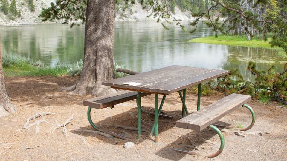 Picnic area · 3.5 mi awayOtter Creek Picnic AreaA riverside meal stop; bring your own food and water.
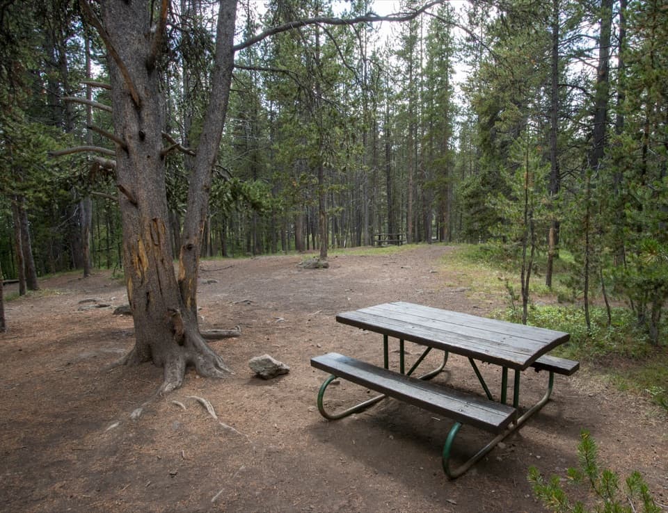 Picnic area · 3.5 mi awayChittenden Bridge Picnic AreaA handy picnic break beside the Wapiti Lake Trailhead.
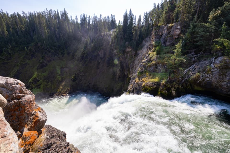 Sight · 3.6 mi awayBrink of the Upper FallsSee the river spill over a 109-foot fall up close.
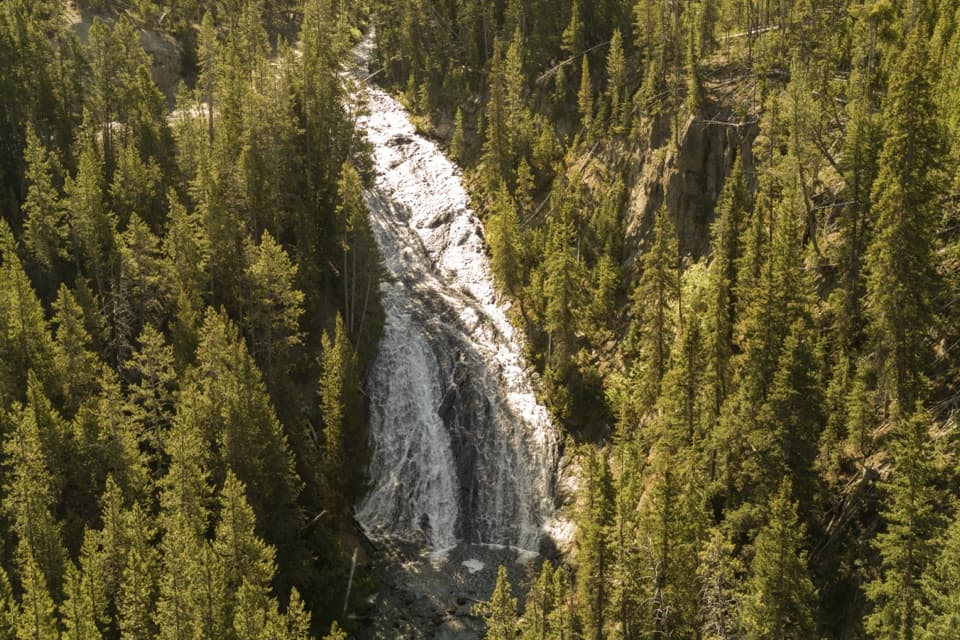 Sight · 3.7 mi awayVirginia CascadeA 60-foot cascade along the old road east of Norris.
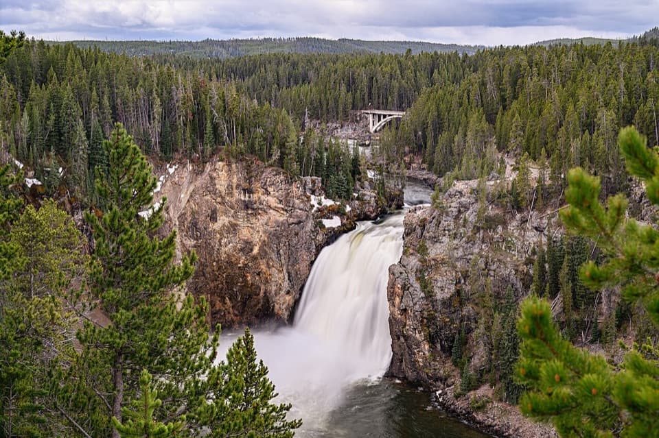 Sight · 3.8 mi awayUpper Falls ViewpointsSouth Rim stop for a close look at 109-foot Upper Falls.
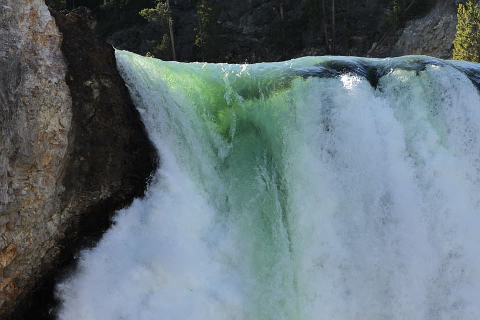 Sight · 3.9 mi awayBrink of the Lower FallsGet close enough to feel the Lower Falls' roar.
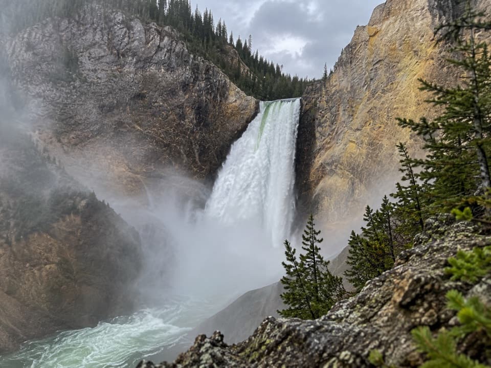 Sight · 4.2 mi awayRed Rock PointA close Lower Falls view after a steep climb back out.
Parkwolf’s Yellowstone ranking

The audio tour guide for the drive, plus offline maps, trails, and wildlife heatmaps for when the signal drops.





