Parking
Use the West Thumb Geyser Basin parking area off Grand Loop Road. The boardwalk starts near the information kiosk; designated accessible parking and a vault or composting toilet are listed at the trailhead.
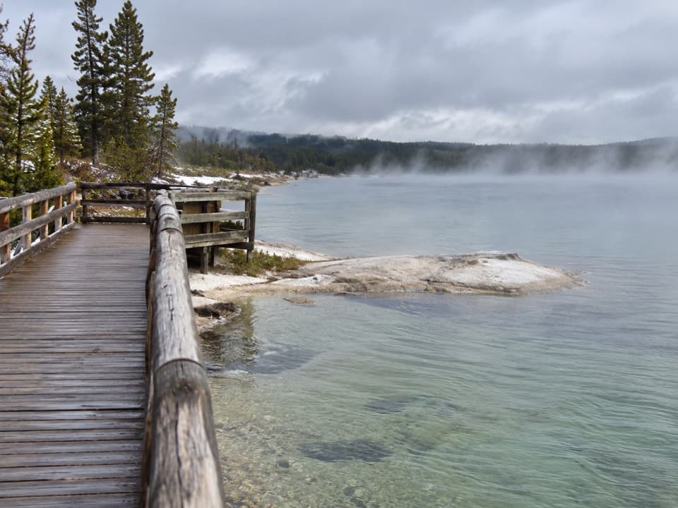
#9 of 167 trails in Yellowstone
Yellowstone National Park, WY · MT · ID
A short lakeside boardwalk through vivid hot springs and geysers.
Overview
Map & elevation
Plan your hike

The highest, rockiest slopes around here are a summer buffet for grizzly bears.
Yellowstone Tour Guide
Parkwolf is a GPS audio tour guide for Yellowstone National Park. As you drive, it chimes in with what’s ahead: hidden gems, upcoming stops, history, geology, and wildlife, right through your car’s speakers.
See the Yellowstone audio tourRecorded for this trailhead
West Thumb Geyser Basin“You're nearing West Thumb Geyser Basin, where the boardwalk puts hot springs beside the open water of Yellowstone Lake.”
Plays as you drive up to this trailhead in the Parkwolf Yellowstone Tour Guide.
More stories near here in the app
“First time driving through a national park. We used the Yellowstone tour on grand loop Road and it’s just like having a tour guide in your car with you.”


Trail guide
This easy boardwalk circuit circles West Thumb Geyser Basin at Yellowstone Lake's edge. The full loop is listed at 0.6 mile (1 km), though mapped descriptions of the outer circuit reach about 0.65–0.7 mile. A center cut-through makes it shorter. Allow 30–60 minutes if you stop to look at the pools; this is a compact geothermal walk, not a backcountry hike.
Start at the West Thumb Geyser Basin parking area and follow the boardwalk out through the thermal basin. The longer circuit passes Abyss Pool and Black Pool, then descends toward the lake. Along the shore, look for Big Cone, Fishing Cone and Lakeshore Geyser; the return bends inland by Seismograph Pool and the Thumb Paint Pots. The inner loop and center crossing give you shorter options.
The lake-facing boardwalk is the best place to pause for the setting: frame Abyss Pool with Yellowstone Lake and the Absaroka Range beyond. The east-facing pools can show richer color in afternoon light, though steam and weather change the view.
Abyss Pool is about 53 feet deep, and its turquoise-green color shifts with light, water chemistry and biology. Black Pool earned its name when cooler water supported dark-colored microbes; after it warmed in the early 1990s, the pool turned blue-green. These are good places to slow down and notice how different the basin's pools look from one another.
Big Cone, Fishing Cone and Lakeshore Geyser sit close to Yellowstone Lake. Their vents can be partly covered as lake levels rise and fall, so the cones do not always look the same from the boardwalk. Fishing Cone recalls a 19th-century practice of lowering freshly caught fish into its hot vent to cook; visitors stopped after the practice damaged the cone. A geyser erupts when steam pressure builds below a narrow part of its underground plumbing and forces water upward.
On the inland return, the boardwalk passes Seismograph Pool and the Thumb Paint Pots. The paint pots are gray, acidic mud; sulfuric acid formed from hydrogen sulfide alters rock into the fine clay. How much the pots bubble or spit mud varies, so a quiet pool is still part of the same hydrothermal system.
The trail begins by the West Thumb basin parking area, near the information kiosk. The trailhead has designated accessible parking and a vault or composting toilet. No separate trail fee or reservation is listed, but the park entrance fee may apply. Pets are not allowed on the boardwalk. Stay on the boardwalk and designated paths: hydrothermal water can severely burn you.
Wildlife
 713 sightingsGrizzly BearMost seen around 6 AMSighting map
 743 sightingsWolfMost seen around 6 AMSighting map
 5,273 sightingsBisonMost seen around 7 AMSighting map
 3,258 sightingsElkMost seen around 7 PMSighting map
 397 sightingsMooseMost seen around 7 PMSighting map
 1,494 sightingsBlack BearMost seen around 7 PMSighting map
Sighting maps show where each species has been reported across Yellowstone. Wildlife moves, so no sighting is guaranteed.
Keep exploring
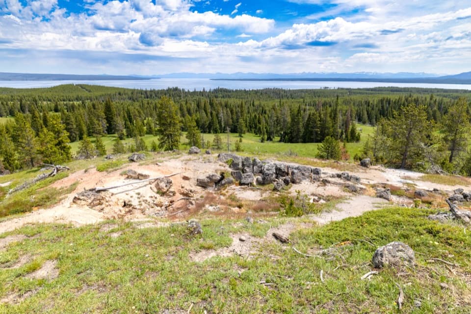 ModerateYellowstone Lake Overlook Trail1.7 mi · 1.5 hr · 0.1 mi awayClimb to a broad lake-and-Absaroka view above West Thumb
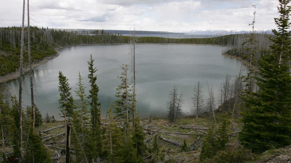 ModerateDuck Lake Trail0.8 mi · 1.5 hr · 0.1 mi awayA short climb opens views over Duck Lake and the 1988 burn.
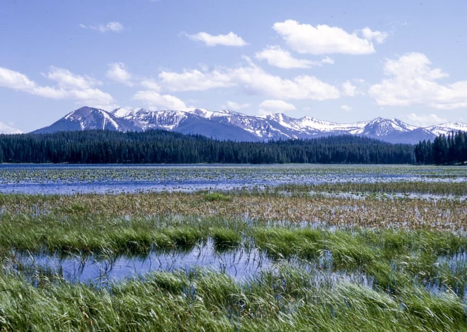 EasyRiddle Lake Trail4.8 mi · 2.5 hr · 4 mi awayA mostly level walk to lily pads and Mount Sheridan views.
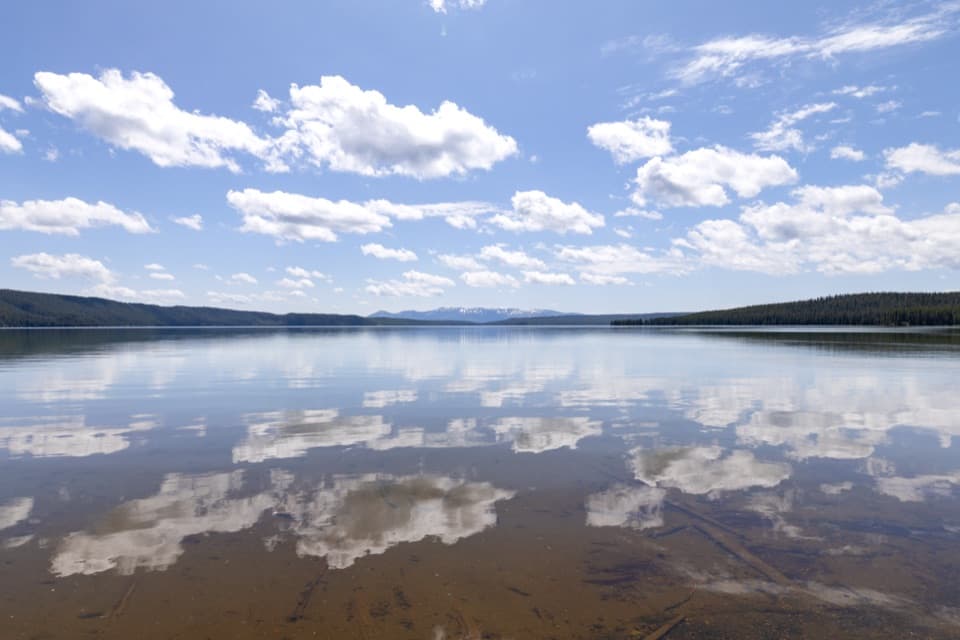 ModerateNorth Shore Shoshone Lake Trail8.3 mi · 6 hr · 6 mi awayA remote one-way walk from lake beach into lodgepole forest.
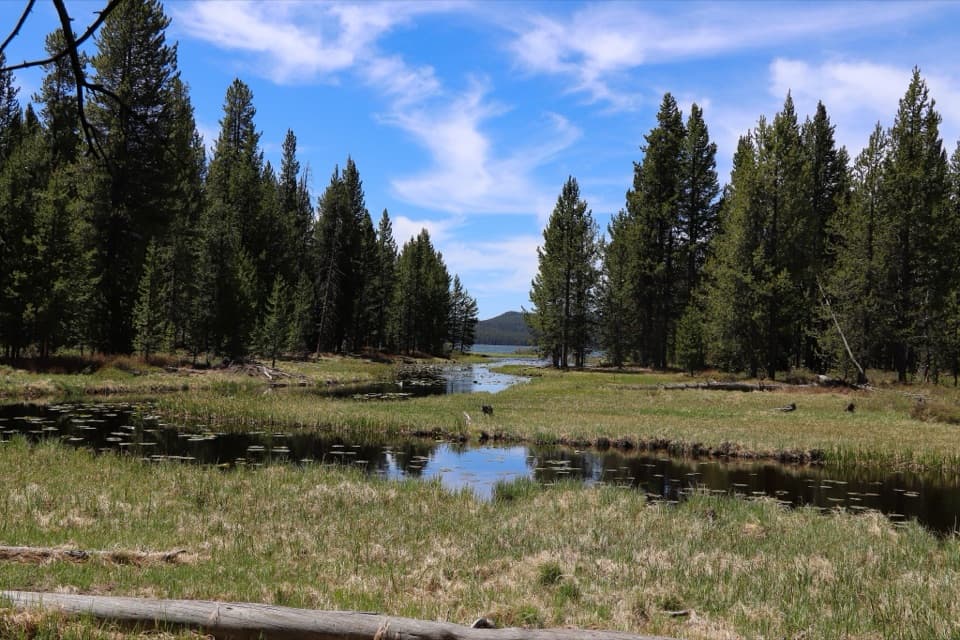 EasyDeLacy Creek Trail5.8 mi · 4 hr · 6.7 mi awayEasy meadows lead to remote Shoshone Lake.
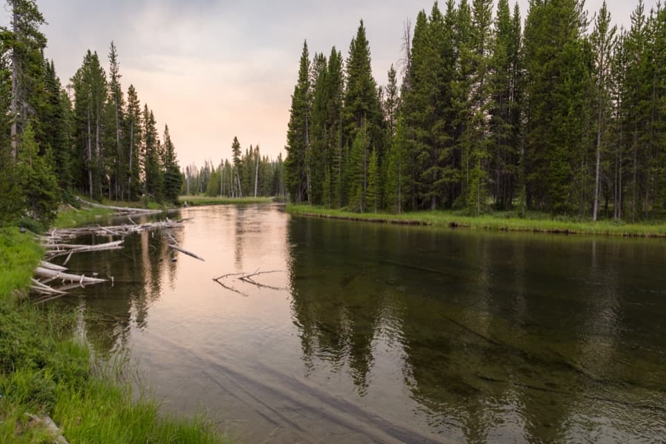 ModerateLewis River Channel/Dogshead Trail10.8 mi · 6.5 hr · 6.7 mi awayTwo lakes and a river channel, with little climbing.
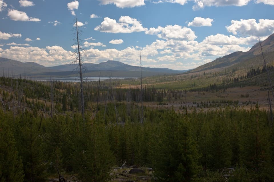 ChallengingHeart Lake Trail15.5 mi · 9 hr · 6.9 mi awayA long day reaches a lake below Mount Sheridan.
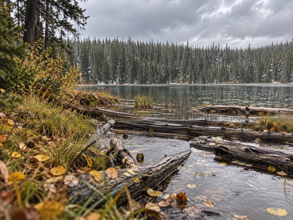 ModeratePocket Lake Trail2.4 mi · 2 hr · 7.3 mi awayA steep forest trail reaches a small backcountry lake.
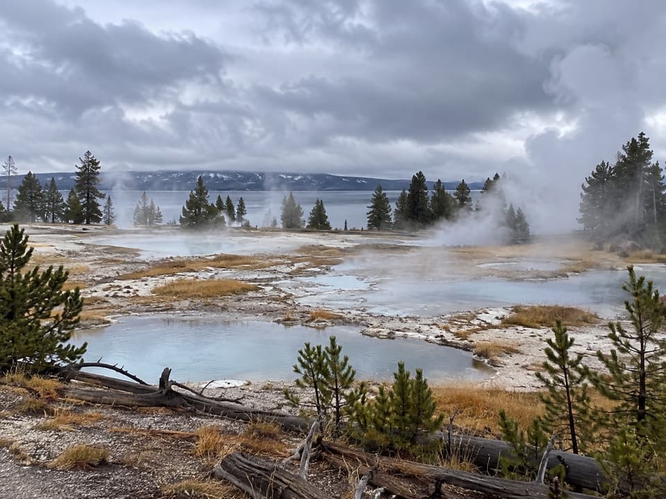 Sight · At the trailheadWest Thumb Geyser BasinA boardwalk loop between steaming pools and Yellowstone Lake.
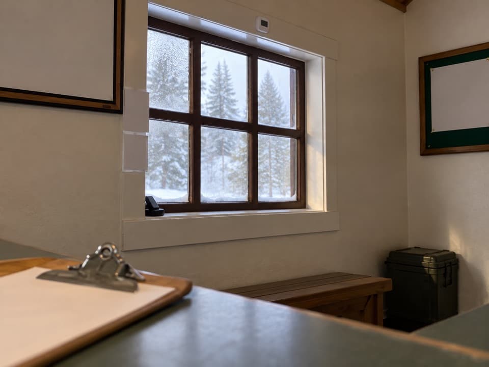 Visitor center · At the trailheadWest Thumb Information StationA historic ranger station at the start of West Thumb’s geyser-basin walk.
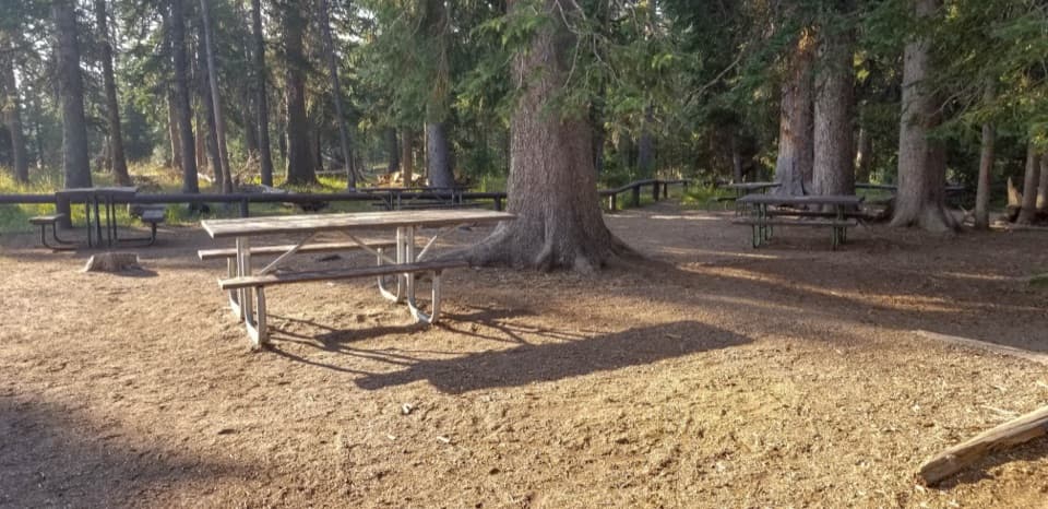 Picnic area · 0.1 mi awayWest Thumb Picnic AreaA handy picnic break beside the West Thumb geyser basin.
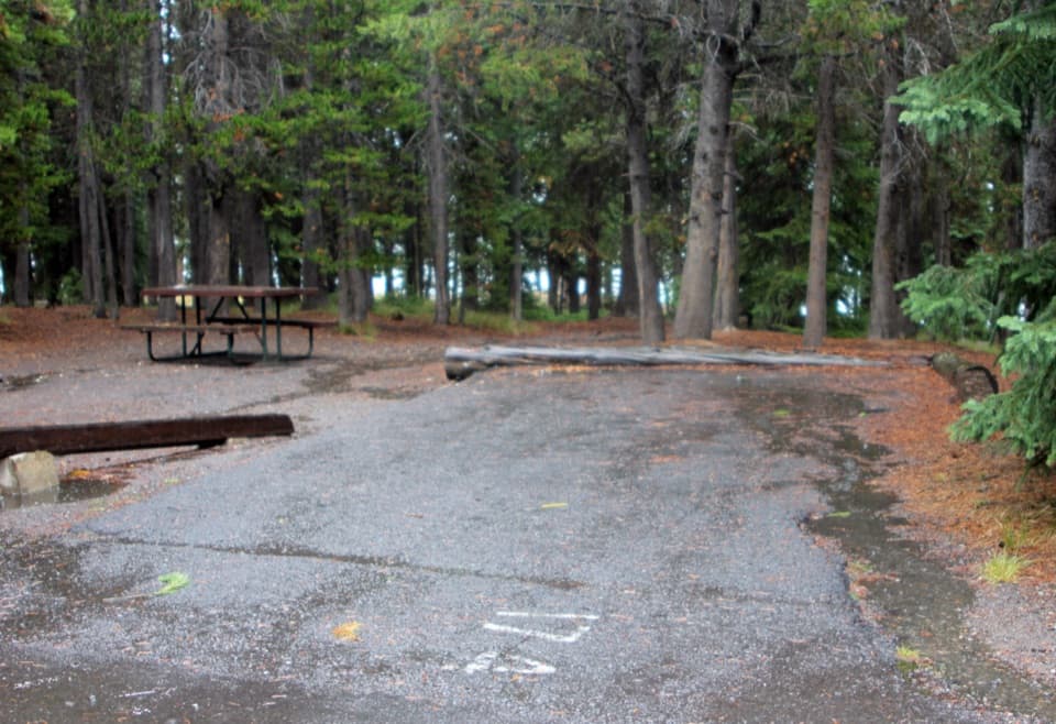 Campground · 1.3 mi awayGrant Village CampgroundA pine-forest base near Yellowstone Lake and West Thumb.
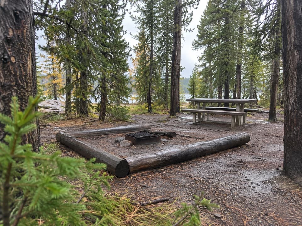 Picnic area · 1.6 mi awayGrant Village Picnic AreaA lakeside picnic stop with 16 tables and fire grates.
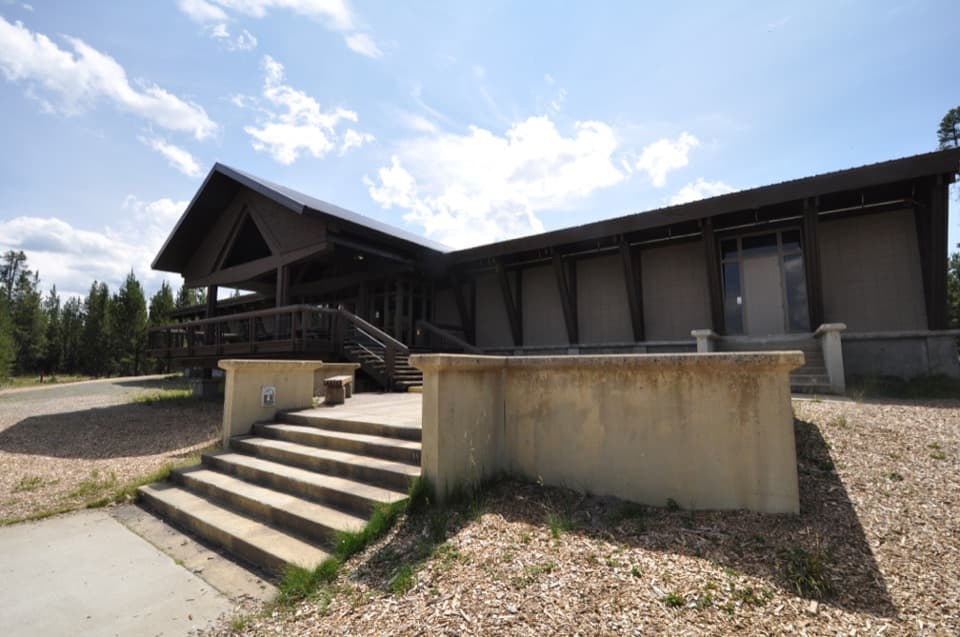 Visitor center · 1.8 mi awayGrant Visitor CenterPark services and a lake view make this a useful southern stop.
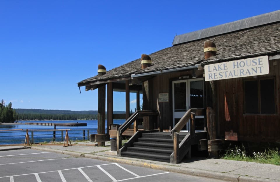 Restaurant · 1.9 mi awayGrant Village Lake House RestaurantA seasonal meal stop with a wide West Thumb view.
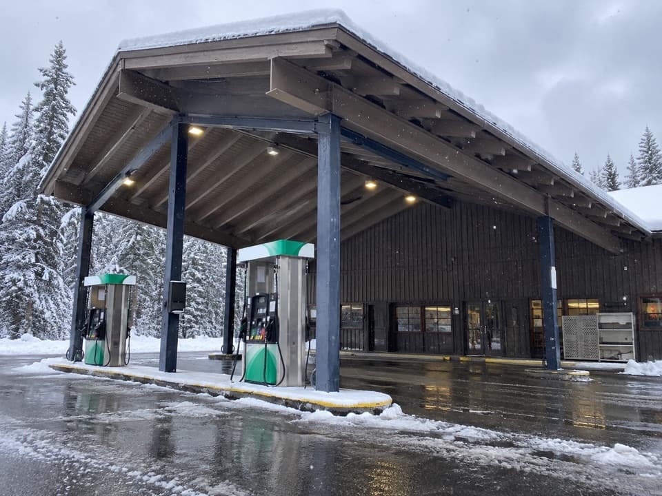 Gas station · 2 mi awayGrant Village Gas and Service StationFuel, propane and seasonal repair help on the south shore.
Parkwolf’s Yellowstone ranking

The audio tour guide for the drive, plus offline maps, trails, and wildlife heatmaps for when the signal drops.





