Parking
Use the West Thumb Geyser Basin parking area. The trail begins on its west side and crosses Grand Loop Road almost immediately.
Yellowstone National Park, WY · MT · ID
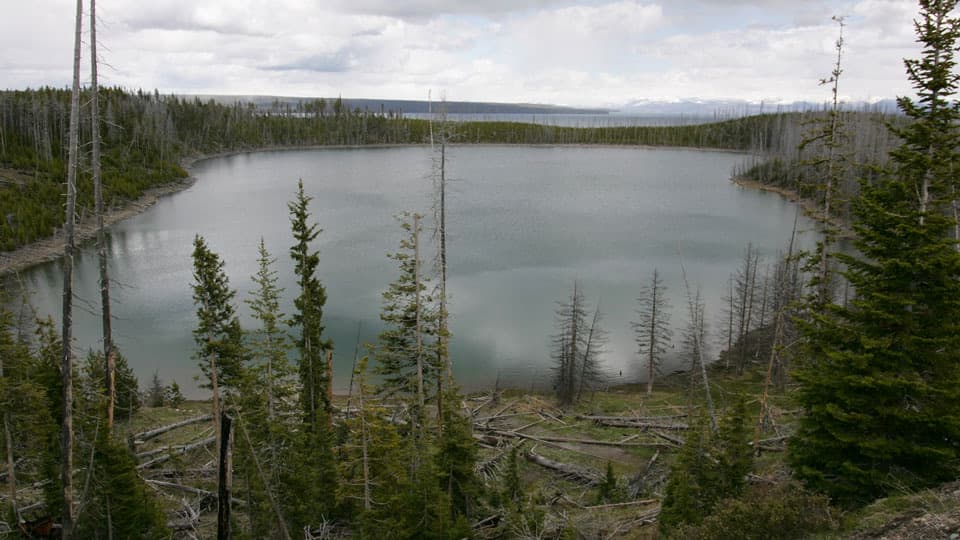
A short climb opens views over Duck Lake and the 1988 burn.
Overview
Map & elevation
Plan your hike

The highest, rockiest slopes around here are a summer buffet for grizzly bears.
Yellowstone Tour Guide
Parkwolf is a GPS audio tour guide for Yellowstone National Park. As you drive, it chimes in with what’s ahead: hidden gems, upcoming stops, history, geology, and wildlife, right through your car’s speakers.
See the Yellowstone audio tourRecorded for this trailhead
West Thumb Geyser Basin“You're nearing West Thumb Geyser Basin, where the boardwalk puts hot springs beside the open water of Yellowstone Lake.”
Plays as you drive up to this trailhead in the Parkwolf Yellowstone Tour Guide.
More stories near here in the app
“First time driving through a national park. We used the Yellowstone tour on grand loop Road and it’s just like having a tour guide in your car with you.”


Trail guide
Duck Lake Trail is a 0.8-mile out-and-back from the west side of the West Thumb Geyser Basin parking area to Duck Lake shore. Allow one to two hours for the hill, the descent and time by the water. You climb a small hill first, then drop through forest to the lake and return the same way. It makes a good short forest walk with a lakeshore finish.
Near the high point, a powerline clearing opens the first view of Duck Lake and a look toward Yellowstone Lake. The trail crosses land affected by the 1988 fires, with young pines growing back through the burned forest. From the clearing, the path drops through thicker trees; two steeper pitches bring you down to a sandy shore with old logs along the edge. The hill also offers a view toward Yellowstone Lake, though trees hide much of it from the trail; Duck Lake is the clear payoff. The clearing is the best place to frame Duck Lake against the recovering forest, while the shore gives you a closer look at the water and its log-strewn edge.
Start at the west side of the West Thumb Geyser Basin lot. The trail crosses Grand Loop Road almost immediately, so watch for traffic. The short climb and steeper slopes near the lake make this more than a flat stroll. Pets aren't allowed. The trail is listed for summer and fall; no activity fee or reservation is required, though Yellowstone entrance fees may apply.
Wildlife
 713 sightingsGrizzly BearMost seen around 6 AMSighting map
 743 sightingsWolfMost seen around 6 AMSighting map
 5,273 sightingsBisonMost seen around 7 AMSighting map
 3,258 sightingsElkMost seen around 7 PMSighting map
 397 sightingsMooseMost seen around 7 PMSighting map
 1,494 sightingsBlack BearMost seen around 7 PMSighting map
Sighting maps show where each species has been reported across Yellowstone. Wildlife moves, so no sighting is guaranteed.
Keep exploring
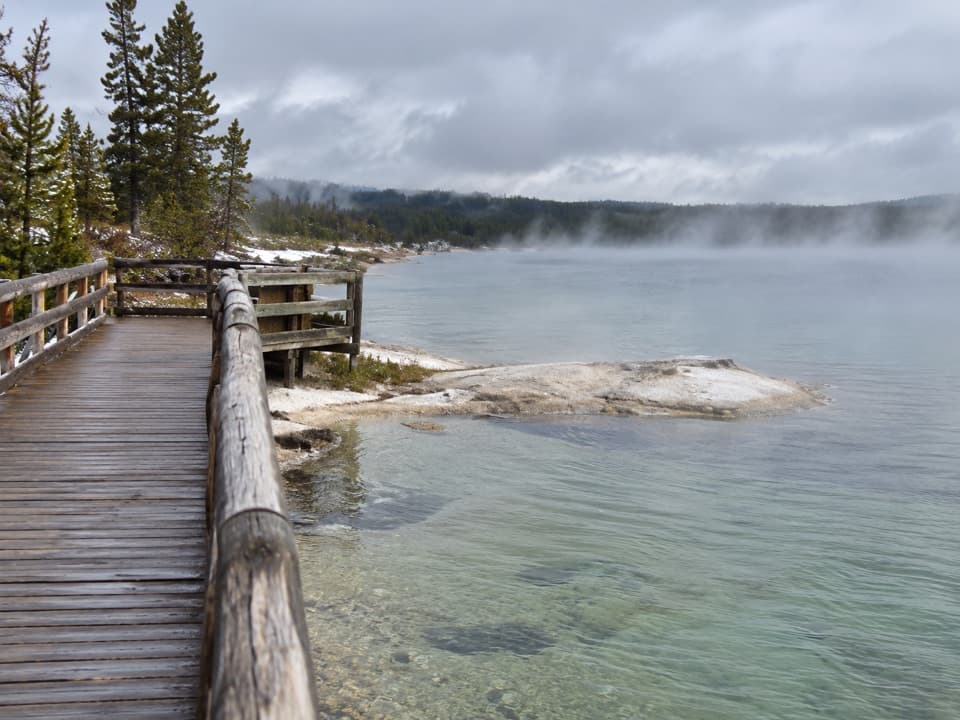 EasyWest Thumb Geyser Basin Trail0.6 mi · 45 min · 0.1 mi awayA short lakeside boardwalk through vivid hot springs and geysers.
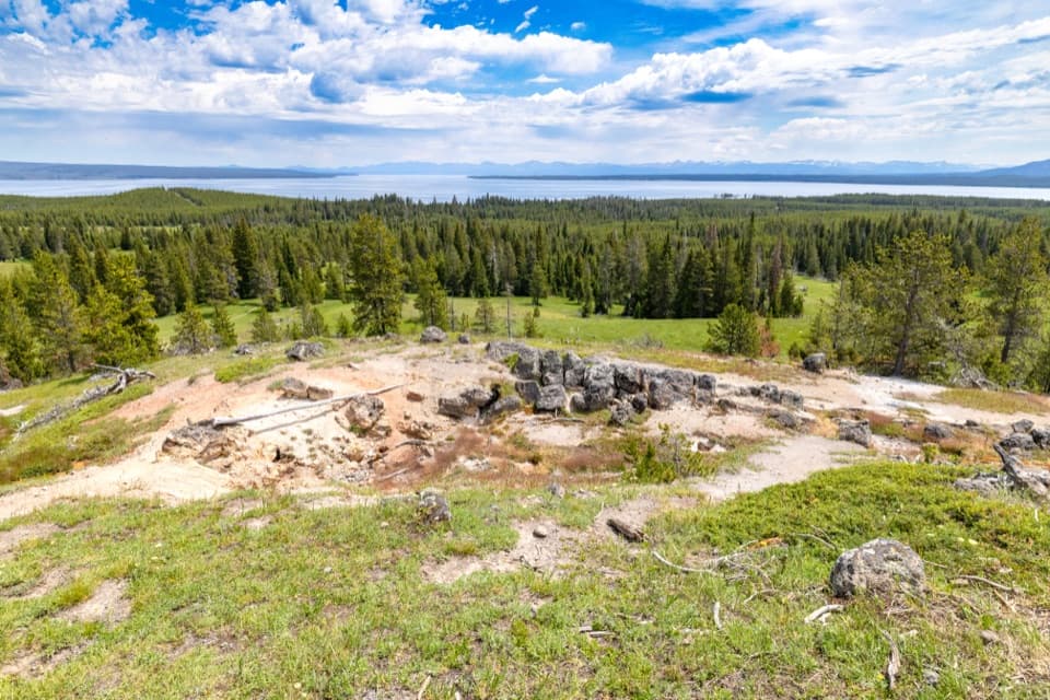 ModerateYellowstone Lake Overlook Trail1.7 mi · 1.5 hr · 0.1 mi awayClimb to a broad lake-and-Absaroka view above West Thumb
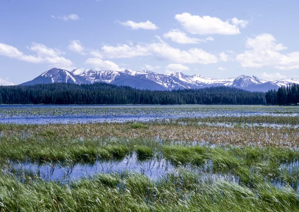 EasyRiddle Lake Trail4.8 mi · 2.5 hr · 4 mi awayA mostly level walk to lily pads and Mount Sheridan views.
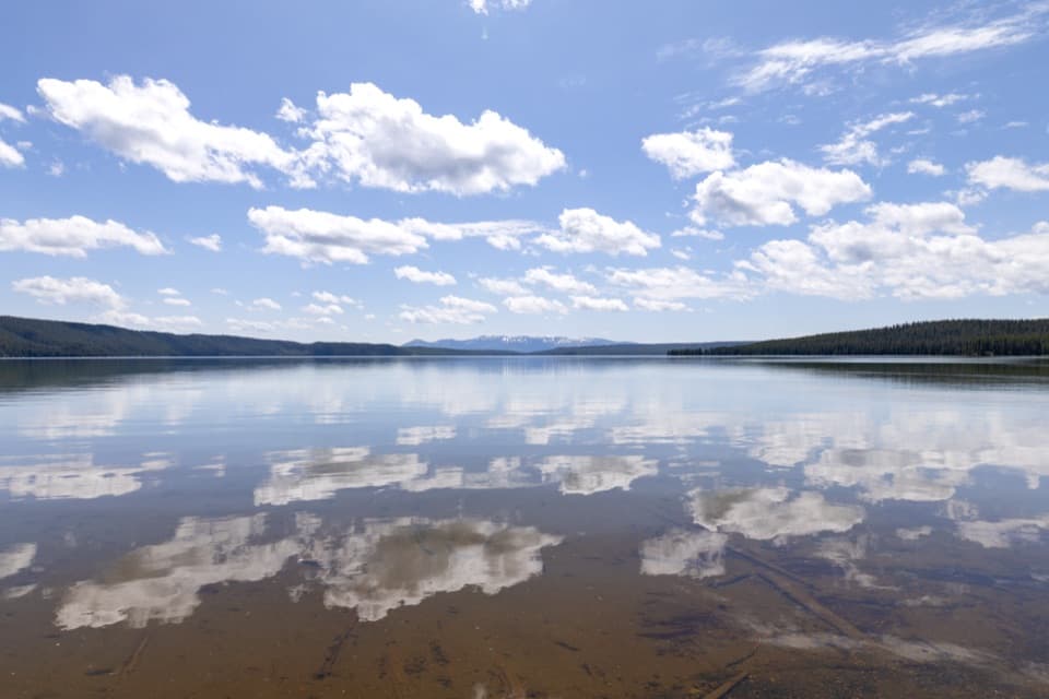 ModerateNorth Shore Shoshone Lake Trail8.3 mi · 6 hr · 5.9 mi awayA remote one-way walk from lake beach into lodgepole forest.
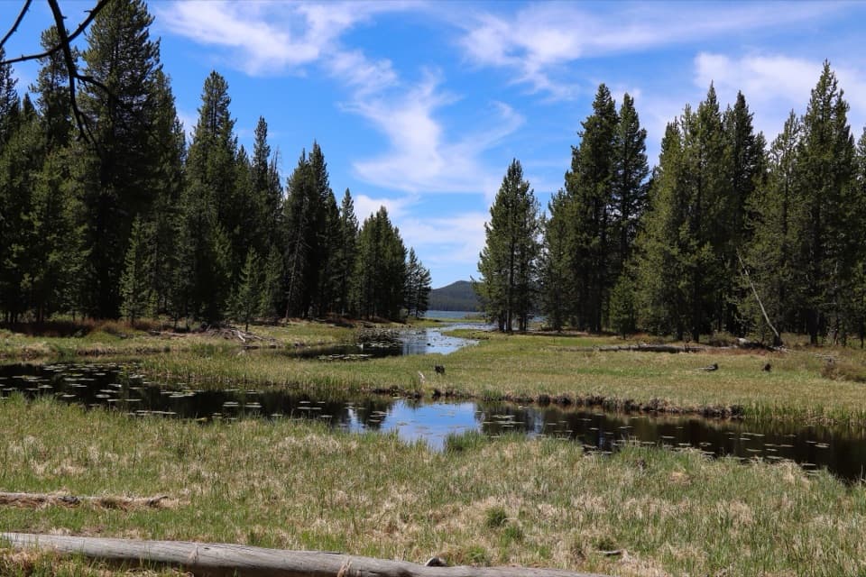 EasyDeLacy Creek Trail5.8 mi · 4 hr · 6.6 mi awayEasy meadows lead to remote Shoshone Lake.
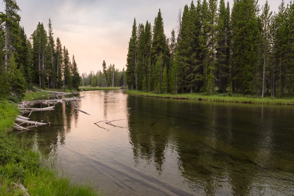 ModerateLewis River Channel/Dogshead Trail10.8 mi · 6.5 hr · 6.8 mi awayTwo lakes and a river channel, with little climbing.
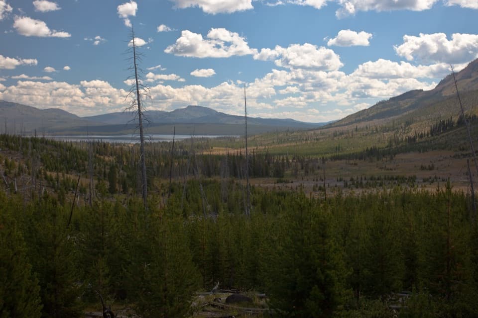 ChallengingHeart Lake Trail15.5 mi · 9 hr · 7 mi awayA long day reaches a lake below Mount Sheridan.
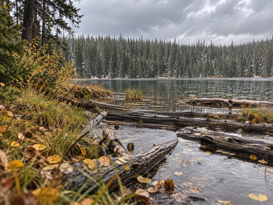 ModeratePocket Lake Trail2.4 mi · 2 hr · 7.2 mi awayA steep forest trail reaches a small backcountry lake.
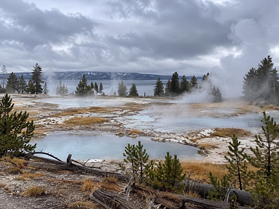 Sight · 0.1 mi awayWest Thumb Geyser BasinA boardwalk loop between steaming pools and Yellowstone Lake.
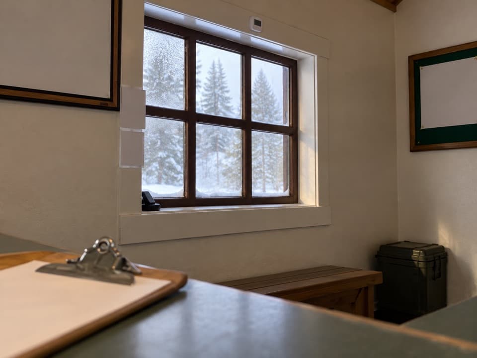 Visitor center · 0.1 mi awayWest Thumb Information StationA historic ranger station at the start of West Thumb’s geyser-basin walk.
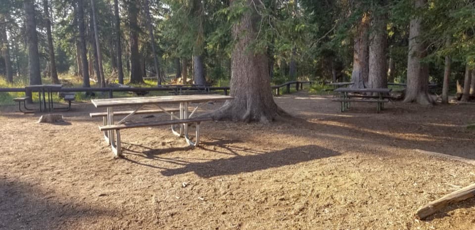 Picnic area · 0.2 mi awayWest Thumb Picnic AreaA handy picnic break beside the West Thumb geyser basin.
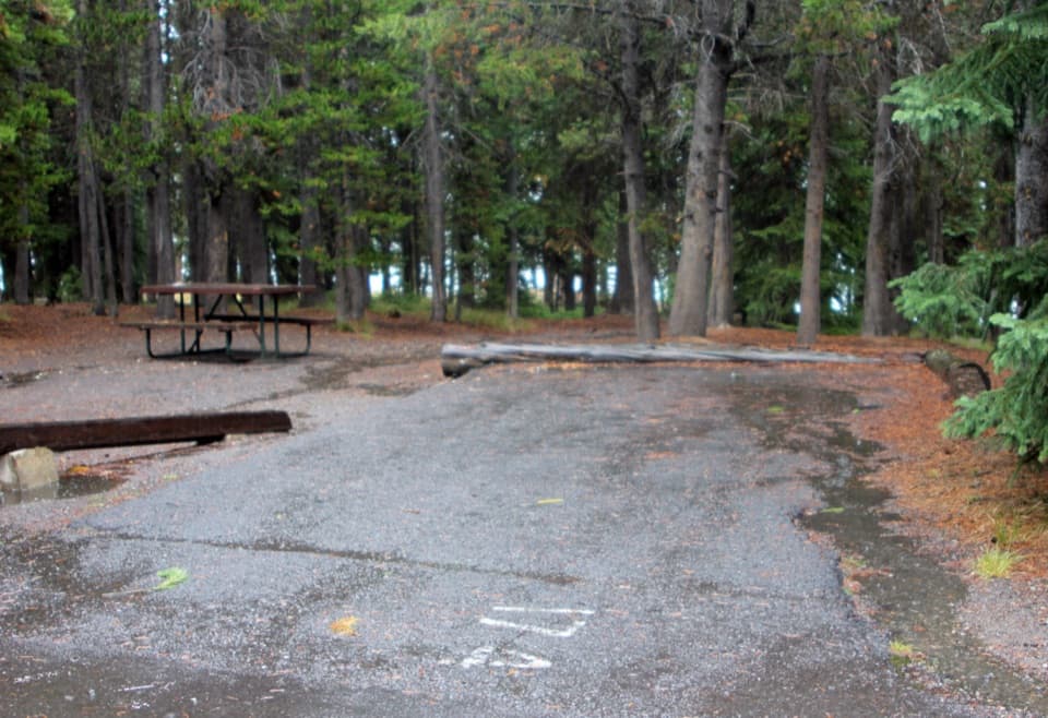 Campground · 1.4 mi awayGrant Village CampgroundA pine-forest base near Yellowstone Lake and West Thumb.
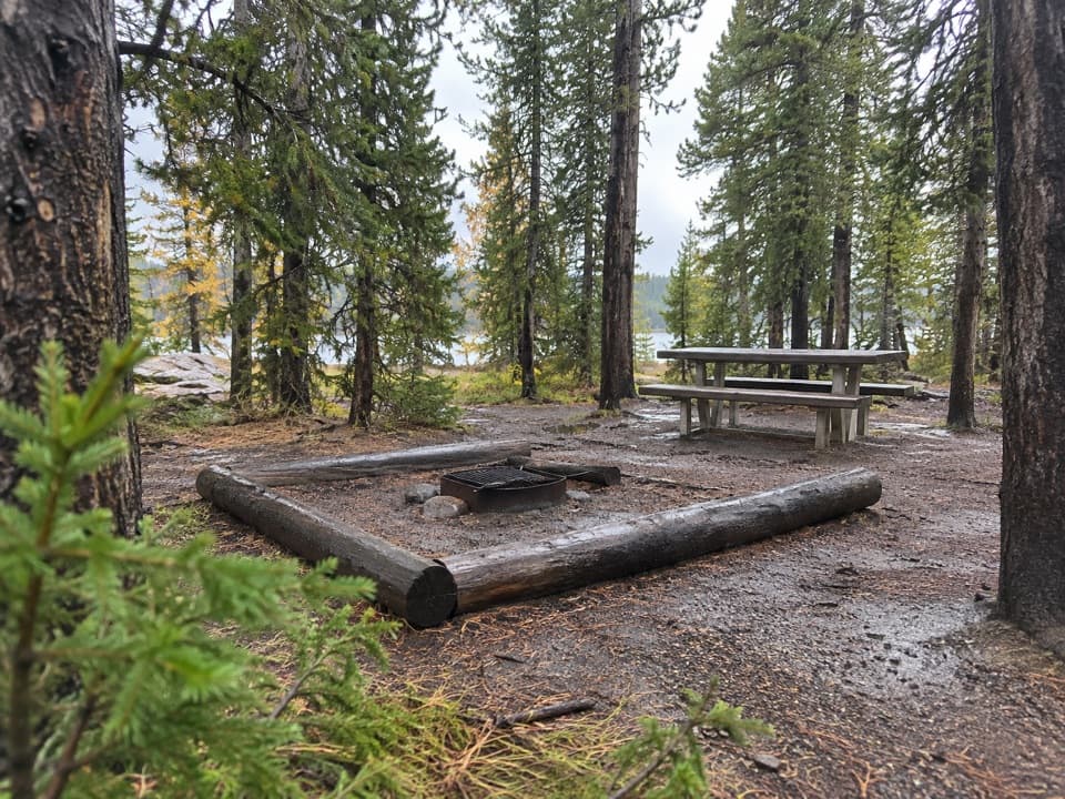 Picnic area · 1.7 mi awayGrant Village Picnic AreaA lakeside picnic stop with 16 tables and fire grates.
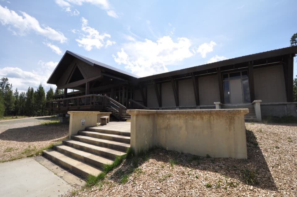 Visitor center · 1.9 mi awayGrant Visitor CenterPark services and a lake view make this a useful southern stop.
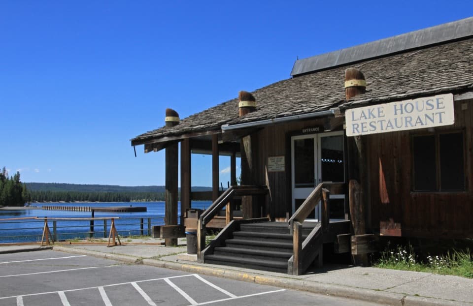 Restaurant · 2 mi awayGrant Village Lake House RestaurantA seasonal meal stop with a wide West Thumb view.
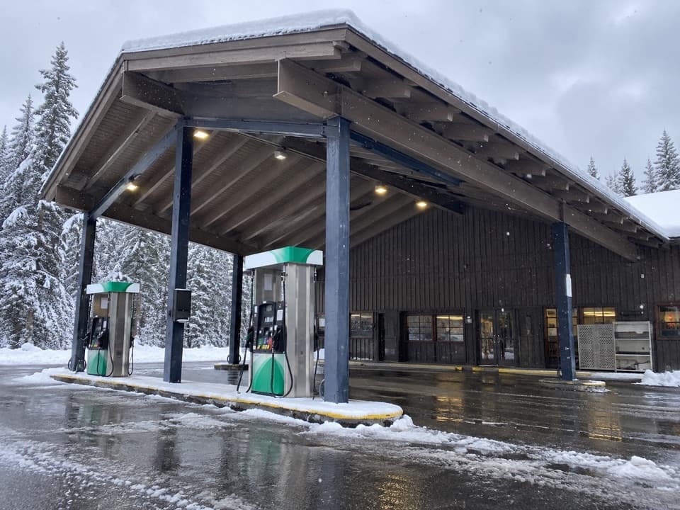 Gas station · 2.1 mi awayGrant Village Gas and Service StationFuel, propane and seasonal repair help on the south shore.
Parkwolf’s Yellowstone ranking

The audio tour guide for the drive, plus offline maps, trails, and wildlife heatmaps for when the signal drops.





