Challenging

South Shore Shoshone Lake Trail

CDT woods with two chilly fords and surprisingly few lake views
South Shore Shoshone Lake Trail, Yellowstone National Park
Distance9.1 mi
Typical time5 hr
DifficultyChallenging
PetsNot allowed

Overview

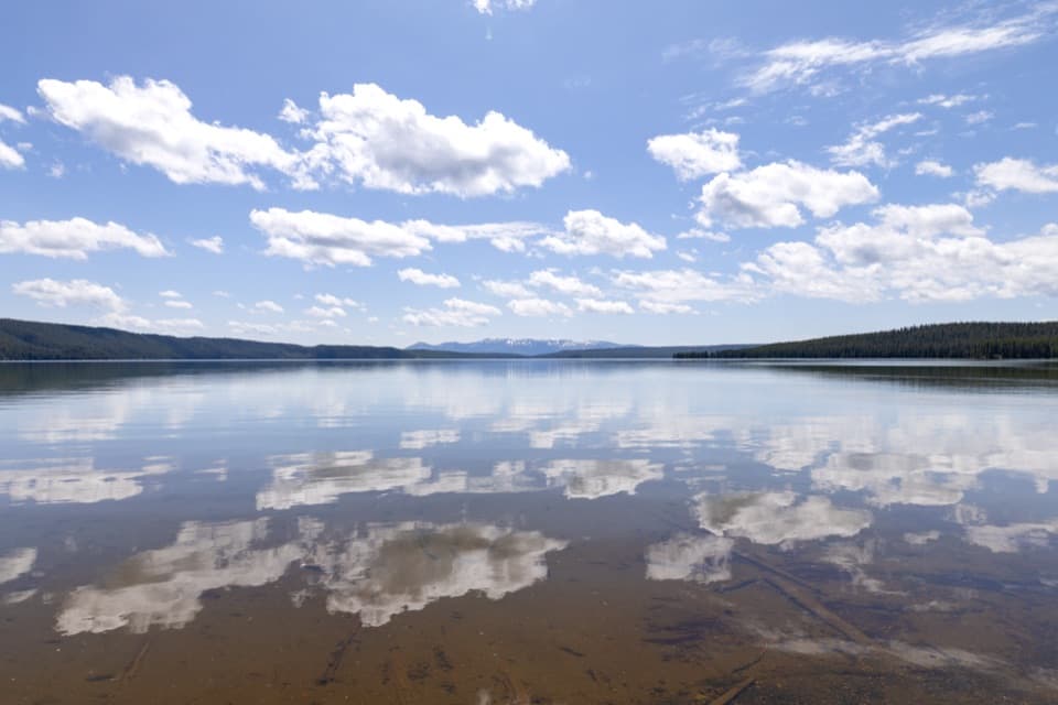
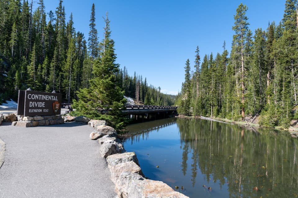
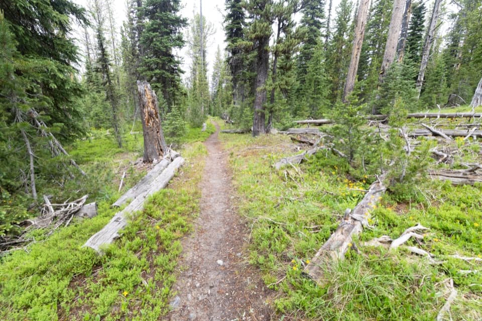
Don’t let the name fool you: this backcountry segment of the Continental Divide Trail spends most of its time in quiet lodgepole forest, not hugging Shoshone Lake. It’s a point‑to‑point style segment of roughly 9.1 miles one way, with a modest climb to a high point around 7,800 feet before rolling terrain and two mandatory stream fords. Views open near the ends, but much of the middle is sheltered and calm—great if you like solitude and a true Yellowstone backcountry feel, less great if you came for nonstop lakeshore scenery.

Route Notes

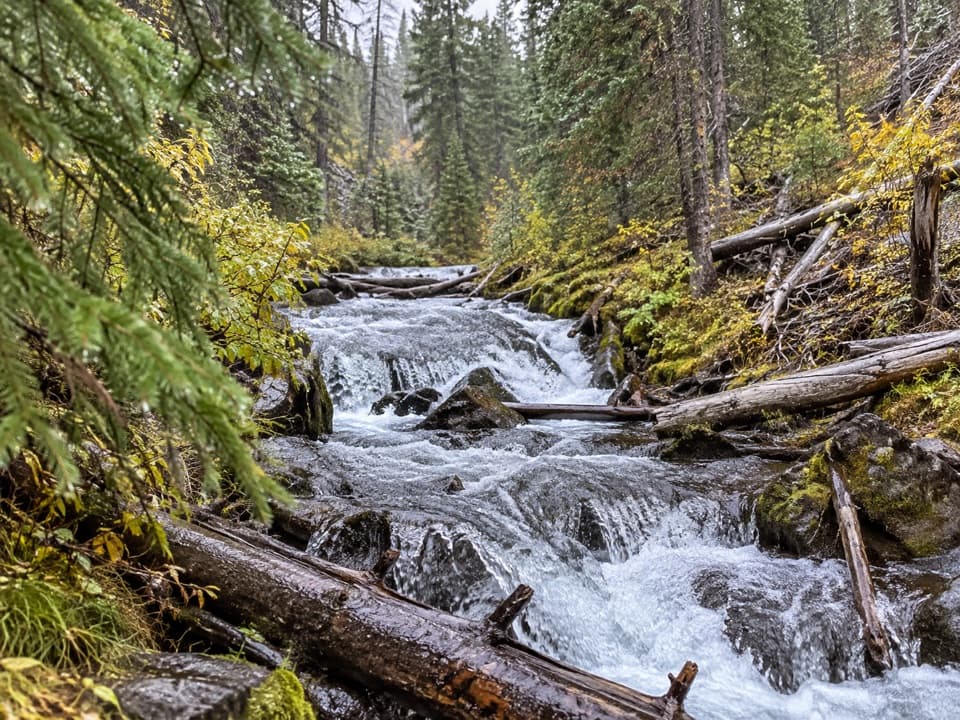
Travel is generally straightforward singletrack. Expect a steady climb early to the segment’s high point, then gradual loss toward Moose Creek. Around mile ~6, you’ll ford Moose Creek (often knee‑deep until mid‑July). Near ~8.8 miles, you’ll wade the broad, slow Lewis River Channel—this crossing can also be challenging until mid‑July. From the east end of the segment, the shortest exit to the road is via the Dogshead Trail (about 4.8 miles), or take the more scenic Lewis River Channel Trail (about 6.4 miles) if you’re stitching together a bigger day or backpack. If you mainly want lake time without fords, consider the easier DeLacy Creek approach to Shoshone Lake (about 6 miles round trip) instead.

What You’ll See

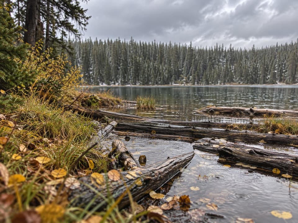
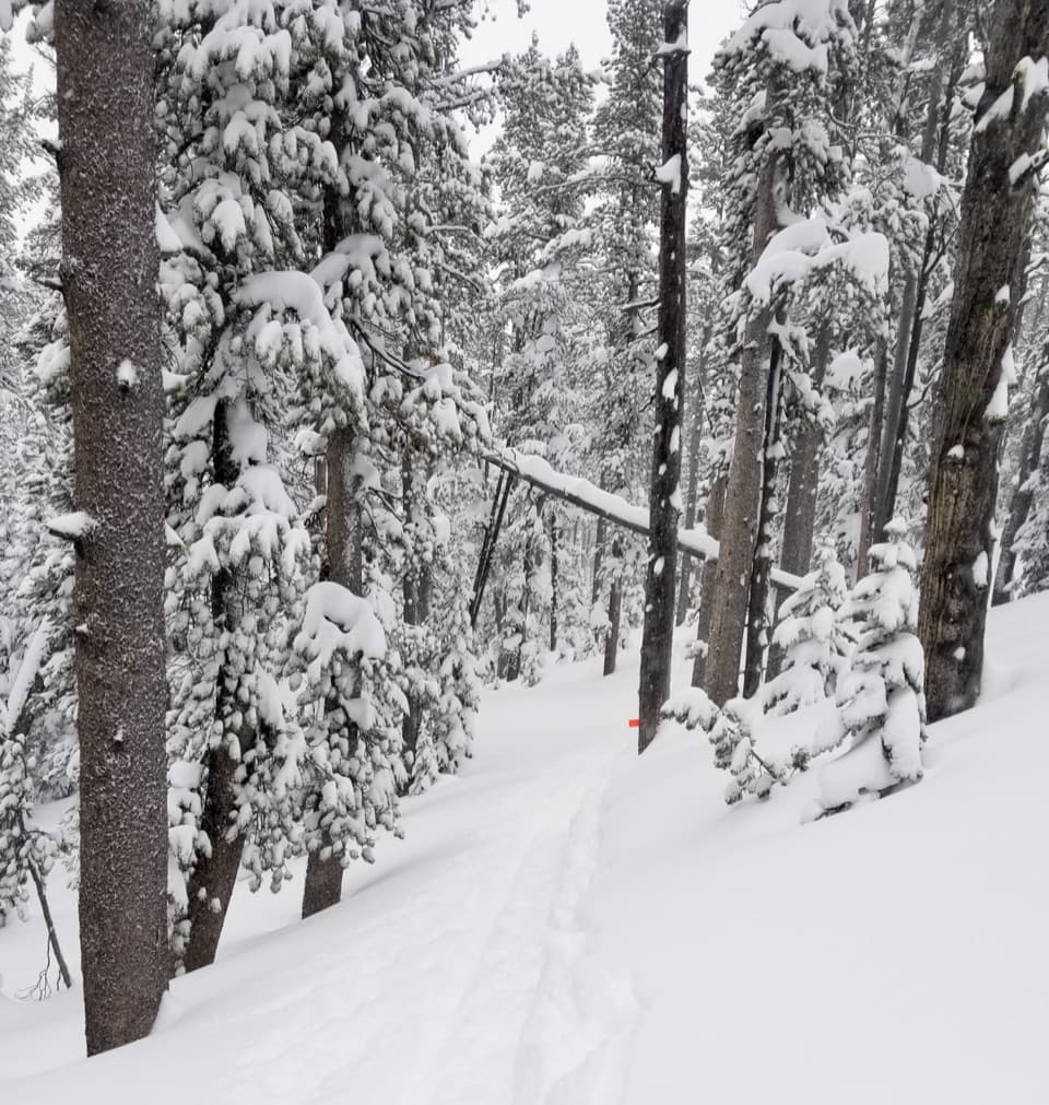
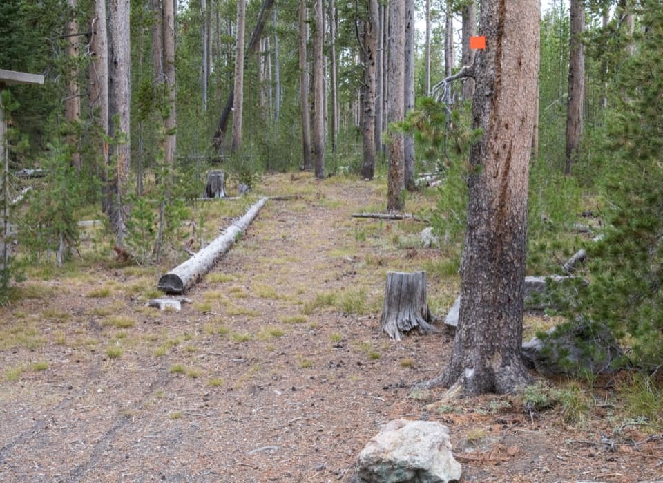
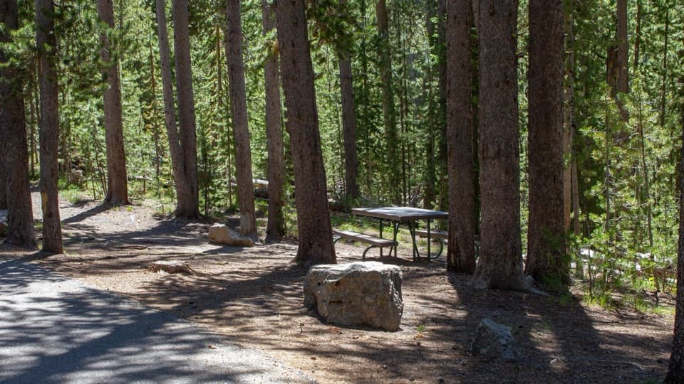
This is a forest‑forward hike with selective windows to water. You’ll pass through lodgepole stands and pockets of meadow, with chances to spot moose and elk in wetter zones. Keep an eye out for beaver sign where side streams slow and braid. Birdlife is active along the creeks and the lake margins, especially on calm mornings.

Difficulty and Who It’s For

Mileage, altitude, and the two cold fords bump the difficulty above “easy,” even though the grades aren’t brutal. Confident hikers who are comfortable evaluating water crossings will enjoy the remoteness. If your group isn’t up for wading or early‑season runoff, pick a different route to the lake.

Best Time to Hike

Late July through September is the sweet spot: lower water at the fords, fewer mosquitoes, and generally drier tread. Early season (June into mid‑July) brings deeper, colder crossings and often intense bugs in the meadows. Start early for cooler temps, steadier winds, and better wildlife viewing. Afternoon storms and gusts can whip across the lake even in midsummer, and shaded forest stays cool—pack layers.

Practical Tips

  • This is true backcountry with grizzly habitat—hike in a group, make noise, and carry bear spray.
  • Expect cold, potentially swift water at Moose Creek and the Lewis River Channel; bring trekking poles and wading footwear, and be ready to turn back if levels look unsafe.
  • Mosquitoes can be fierce in early season; strong repellent and long sleeves help.
  • For a more scenic, family‑friendly taste of Shoshone Lake, the DeLacy Creek out‑and‑back is the better bet, while the South Shore segment shines for solitude and a bit of adventure.

Pros

  • Backcountry solitude on a major long‑trail corridor without big climbs
  • Two classic Yellowstone fords for hikers who like a little adventure

Cons

  • Limited lake views for most of the segment despite the name
  • Mandatory fords can be unsafe until mid‑July and may turn you back

Parking

Park at the Shoshone Lake/Dogshead Trailhead, about 5 miles south of the Grant Village intersection, just north of Lewis Lake on the west side of the road. This provides the most direct access to the east end of the segment.

Caution

Two mandatory fords—Moose Creek (~mile 6) and the Lewis River Channel (~mile 8.8)—are cold and can be challenging until mid‑July. This is grizzly country; carry bear spray, travel in groups, and be prepared to turn back if water levels are unsafe.

The Parkwolf tour guide sitting on a phone mounted in a car

Parkwolf Tour Guide

Like a tour guide in your car.

Bring Yellowstone trail research into the car, with offline maps and stories that play as you drive.Download Parkwolf on the App Store