Swinging Bridge Picnic Area (Yosemite Valley) in Yosemite National Park

Picnic area · Yosemite National Park

Swinging Bridge Picnic Area (Yosemite Valley)

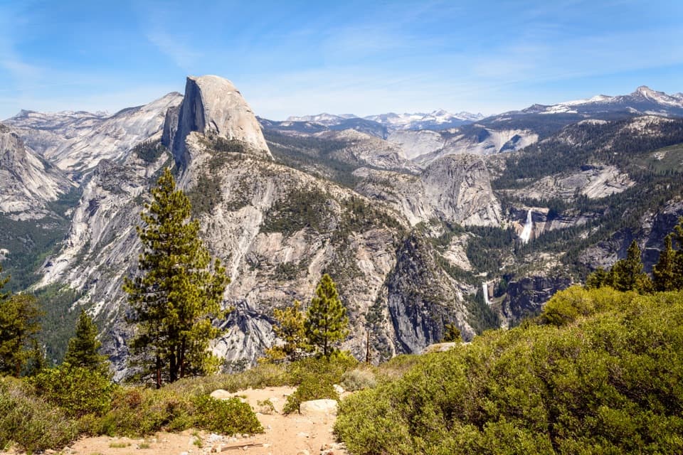
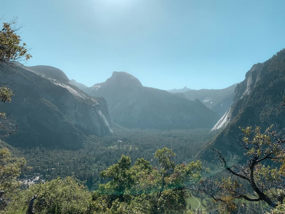
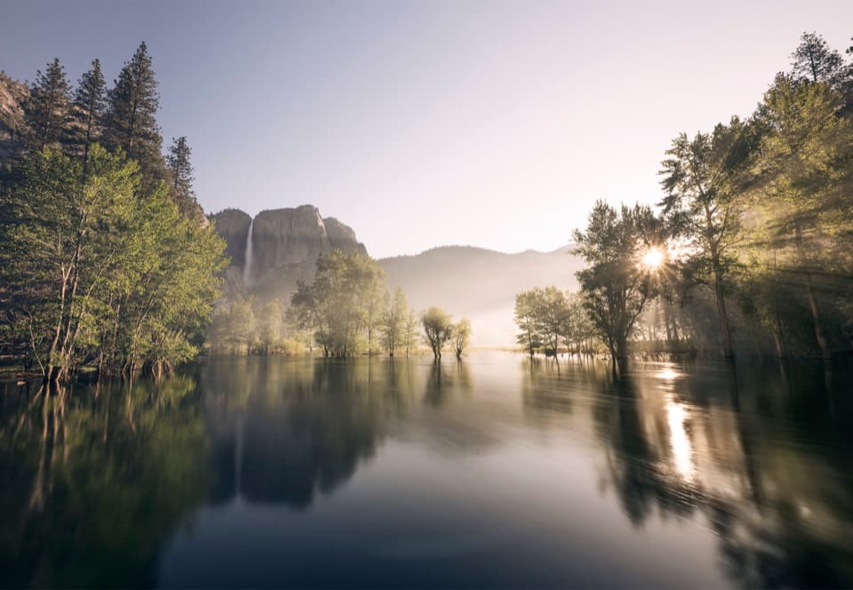
Picnic by the Merced with Yosemite Falls for company.

Photo: Wikimedia Commons
Type
Picnic area
Nearest trail
Right here
Audio stories
15 nearby
  • Parking
  • Picnic tables
  • Restrooms
  • Scenic viewpoint

Hear the audio tour

Swinging Bridge and Four Mile Trail

Overview

About Swinging Bridge Picnic Area (Yosemite Valley)

Why stop

  • Easy river access with Yosemite Falls in view
  • Tables and grills make it a good picnic stop

Heads up

  • Parking is very limited; beach access depends on river levels

Map

Where it is

Loading the Yosemite map
Full map
Picnic areaSwinging Bridge Picnic Area (Yosemite Valley)37.73638, -119.59968
Keep this map with you offline in the Parkwolf app

Plan your stop

Before you go

Best time to go

The adjacent beach is accessible when river levels are low. In spring, or whenever the river is running strongly, stay well back: the water is cold, fast and can be deadly. Jumping or diving from the bridge is prohibited. Yosemite Falls is fed by snowmelt and is often dry by late summer, though fall storms can bring it back. For photos, frame the falls across the river from the bridge or bank; a reflection depends on calm water and enough flow in the falls.

4 active Yosemite alerts

  • ClosureDome Fire closes Glacier Point Road and trailsGlacier Point Road is temporarily closed because Dome Fire smoke reduces visibility and to allow firefighting operations; some trails south of the road are also closed.Official details
  • CautionMist Trail access limited during October repairsThe Mist Trail between its John Muir Trail junction above the Vernal Fall footbridge and the top of Vernal Fall has limited access through October for repair work.Official details
See all 4 alerts
The Parkwolf Tour Guide on a dash-mounted phone, driving into Yosemite Valley

“You're coming up on the Four Mile Trailhead, with Swinging Bridge Picnic Area nearby. For an easy break, choose the picnic area: mostly level paths reach the Merced River and a view of Yosemite Falls.”

Yosemite Tour Guide

Yosemite, narrated.

Parkwolf is a GPS audio tour guide for Yosemite National Park. As you drive, it chimes in with what’s ahead: hidden gems, upcoming stops, history, geology, and wildlife, right through your car’s speakers.

See the Yosemite audio tour

Recorded for this place

Swinging Bridge and Four Mile Trail
0:00 / 0:30
“You're coming up on the Four Mile Trailhead, with Swinging Bridge Picnic Area nearby. For an easy break, choose the picnic area: mostly level paths reach the Merced River and a view of Yosemite Falls.”

Plays as you drive up to Swinging Bridge Picnic Area (Yosemite Valley) in the Parkwolf Yosemite Tour Guide.

More stories near here in the app

  • Camp 4 and Yosemite Falls Trailhead
  • Yosemite Falls and the Lower Fall Loop
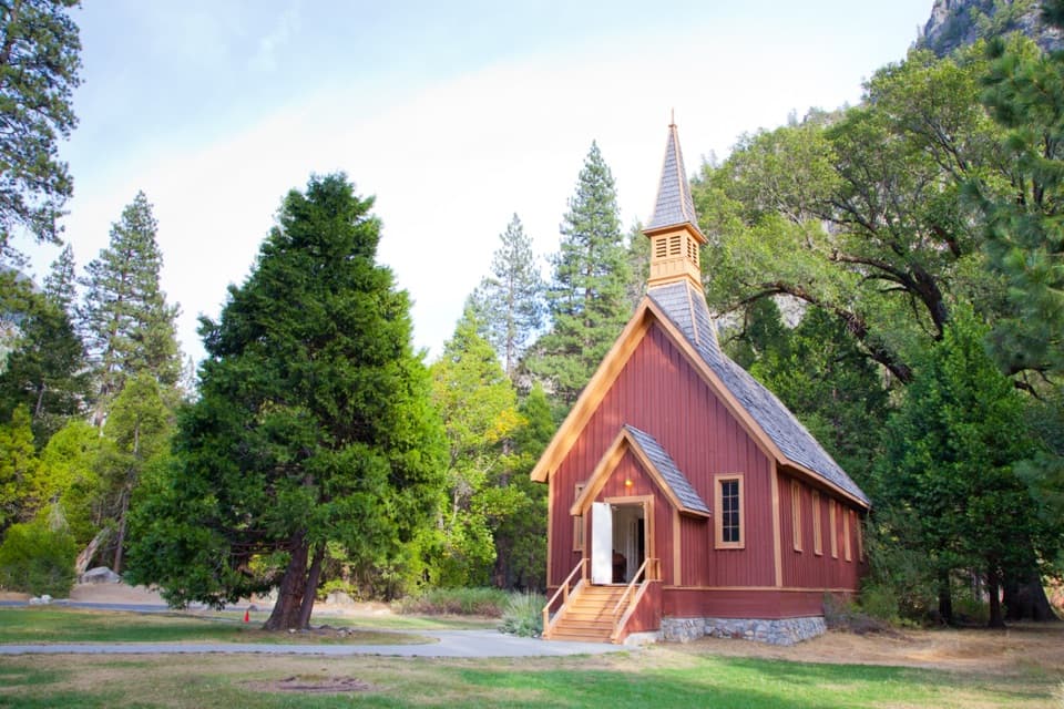
  • Sentinel Bridge, Cook's Meadow and Yosemite Chapel
  • Yosemite Village
  • 125 audio storiesacross Yosemite’s roads, triggered by GPS as you drive
  • Wildlife heatmapsfor Black Bear, Peregrine Falcon, Mule Deer, and 13 more
  • Works offlinemaps, 141 trails, 99 places, and audio download before you lose signal
  • CarPlay readysimple controls built for the drive
★★★★★
“We just drove through Yosemite and it made our trip listening to this app as we drove through. Like having a tour guide in the car with you.”
Roddy 3210App Store review
Download Parkwolf on the App StoreGet Parkwolf on Google Play

4.7 from 8,600+ ratings

Guide

More about Swinging Bridge Picnic Area (Yosemite Valley)

A riverside break with a big viewSwinging Bridge Picnic Area is a flat riverside stop on the Merced, with a fixed wooden bridge…

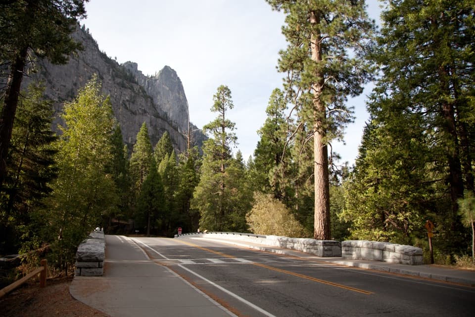
Swinging Bridge Picnic Area is a flat riverside stop on the Merced, with a fixed wooden bridge and views of Yosemite Falls and the surrounding cliffs. It is a good place to stretch your legs or linger over a picnic; the bridge itself does not swing.

Make the stop workThere are picnic tables, grills and vault toilets, so bring food and make a meal of it.

There are picnic tables, grills and vault toilets, so bring food and make a meal of it. Parking is extremely limited. The approach to the picnic area and bridge follows paved, mostly level paths; the picnic ground is flat but unpaved. Accessible tables and toilets are provided, though the beach itself is not wheelchair accessible. A paved path links the area with Cook's Meadow, Yosemite Chapel, Yosemite Valley Lodge and the Lower Yosemite Fall trail.

Why the bridge stays stillThe name is a leftover from the earlier swinging bridges here.

The name is a leftover from the earlier swinging bridges here. Repeated floods damaged them, and the present fixed bridge replaced them after the 1964 flood. It is a useful reminder that the Merced can rise with real force.

Wildlife

Wildlife in Yosemite

All Yosemite wildlife maps

Sighting maps show where each species has been reported across Yosemite. Wildlife moves, so no sighting is guaranteed.

Keep exploring

Near Swinging Bridge Picnic Area (Yosemite Valley)

See it all on the map

Trails nearby

More stops nearby

Parkwolf’s Yosemite ranking

Top sights in Yosemite

All 99 places
  1. 1Tunnel ViewSight
  2. 2Glacier PointSight
  3. 3Yosemite FallsSight
  4. 4Half DomeSight
  5. 5Bridalveil FallSight
  6. 6El Capitan MeadowSight

Take Parkwolf to Yosemite.

The audio tour guide for the drive, plus offline maps, trails, and wildlife heatmaps for when the signal drops.

4.7 from 8,600+ ratings

Download Parkwolf on the App StoreGet Parkwolf on Google Play