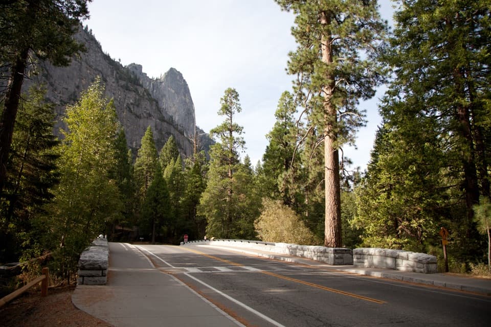
Eastern North Rim Traverse in Yosemite National Park

Yosemite National Park, CA

Eastern North Rim Traverse

One-way rim traverse from Yosemite Falls to Mirror Lake via North Dome.

Photo: National Park Service
Length
18.1mi
Time
12.5hr
Elev. change
4,327ft
Difficulty
Challenging
  • No dogs
  • High point 8,346 ft

Hear the audio tour

Camp 4 and Yosemite Falls Trailhead

Overview

About Eastern North Rim Traverse

Why go

  • Face-on Half Dome views from North Dome and Snow Creek
  • One route links Yosemite Falls, Yosemite Point and the north rim

Heads up

  • 18.1 miles one way with 5,200 feet of climbing
  • No drinking water along the rim

Map & elevation

The route

Loading the Yosemite map
Full map
Elevation4,019–8,346 ft
TrailheadUpper Yosemite Falls Trailhead (Camp 4 area)37.74219, -119.60204
Keep this map with you offline in the Parkwolf app

Plan your hike

Before you go

Parking

Start behind Camp 4 near shuttle stop #7. Camp 4 parking is for registered campers; use the Yosemite Falls parking area across the road. Finish at Mirror Lake near shuttle stop #17 and arrange point-to-point transport. Snow Creek Trailhead has no parking.

Safety

Exceptionally strenuous: 18.1 miles one way with 5,200 feet of climbing, steep exposed switchbacks and loose granite near unprotected drops above Yosemite Fall. There is no drinking water along the route. Summer heat and winter snow or ice add risk. Dogs are prohibited on Yosemite trails.

4 active Yosemite alerts

  • ClosureDome Fire closes Glacier Point Road and trailsGlacier Point Road is temporarily closed because Dome Fire smoke reduces visibility and to allow firefighting operations; some trails south of the road are also closed.Official details
  • CautionMist Trail access limited during October repairsThe Mist Trail between its John Muir Trail junction above the Vernal Fall footbridge and the top of Vernal Fall has limited access through October for repair work.Official details
See all 4 alerts
The Parkwolf Tour Guide on a dash-mounted phone, driving into Yosemite Valley

“You're nearing Camp 4, the tent campground that became a gathering place for Yosemite climbers after World War Two. Yvon Chouinard made climbing gear here on an old anvil and sold it from the parking lot.”

Yosemite Tour Guide

Yosemite, narrated.

Parkwolf is a GPS audio tour guide for Yosemite National Park. As you drive, it chimes in with what’s ahead: hidden gems, upcoming stops, history, geology, and wildlife, right through your car’s speakers.

See the Yosemite audio tour

Recorded for this trailhead

Camp 4 and Yosemite Falls Trailhead
0:00 / 0:31
“You're nearing Camp 4, the tent campground that became a gathering place for Yosemite climbers after World War Two. Yvon Chouinard made climbing gear here on an old anvil and sold it from the parking lot.”

Plays as you drive up to this trailhead in the Parkwolf Yosemite Tour Guide.

More stories near here in the app

  • Yosemite Falls and the Lower Fall Loop
  • Swinging Bridge and Four Mile Trail
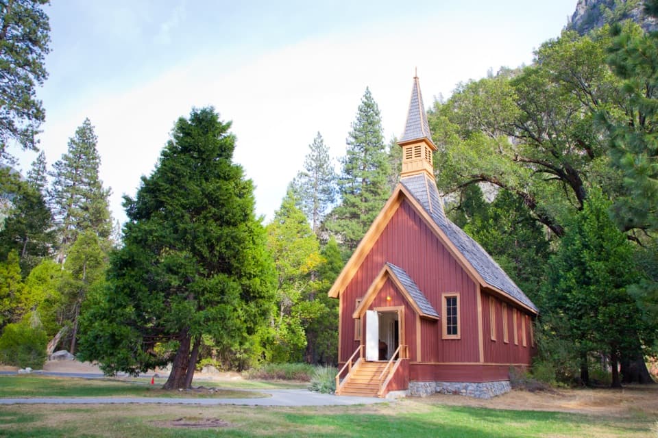
  • Sentinel Bridge, Cook's Meadow and Yosemite Chapel
  • Yosemite Village
  • 125 audio storiesacross Yosemite’s roads, triggered by GPS as you drive
  • Wildlife heatmapsfor Black Bear, Peregrine Falcon, Mule Deer, and 13 more
  • Works offlinemaps, 141 trails, 99 places, and audio download before you lose signal
  • CarPlay readysimple controls built for the drive
★★★★★
“We just drove through Yosemite and it made our trip listening to this app as we drove through. Like having a tour guide in the car with you.”
Roddy 3210App Store review
Download Parkwolf on the App StoreGet Parkwolf on Google Play

4.7 from 8,600+ ratings

Trail guide

Hiking Eastern North Rim Traverse

The crossingThe Eastern North Rim is an 18.

The Eastern North Rim is an 18.1-mile one-way traverse from the Upper Yosemite Falls Trailhead by Camp 4 to Mirror Lake. It climbs past the top of Yosemite Falls and Yosemite Point, crosses North Dome, then descends Snow Creek. The route gains about 5,200 feet; allow roughly 12–14 hours with stops. This is an exceptionally strenuous full-day hike, best when the crossing itself is the goal. If you mainly want the waterfall, the 7.2-mile round trip to the top of Yosemite Fall is a much shorter option, though still steep.

The line here includes the Indian Rock detour to match the official 18.1-mile itinerary. Indian Rock is optional; skip that spur for a shorter crossing.

Start, finish and waterStart behind Camp 4 near shuttle stop 7.

Start behind Camp 4 near shuttle stop #7. Camp 4 parking is reserved for campers; use the Yosemite Falls parking area across the road. The east end is at Mirror Lake near shuttle stop #17, so plan point-to-point transport back across the Valley. Snow Creek Trailhead has no parking. The Camp 4 drinking fountain is the last water source: there are no refills along the rim. Carry water for the whole crossing, not just the first climb. Dogs are not allowed on Yosemite trails.

Up Yosemite FallsThe trail starts climbing quickly through oak woodland, with repeated switchbacks to Columbia…

The trail starts climbing quickly through oak woodland, with repeated switchbacks to Columbia Rock and its first wide Valley view. It keeps climbing over rough, loose granite to the top of Upper Yosemite Fall. The creek at the rim looks small beside the waterfall's 2,425-foot drop, but it flows directly over the edge; stay well back. The upper trail is steep and exposed. This historic route was built between 1873 and 1877. Continue east to Yosemite Point for close views of Lost Arrow Spire and a direct look toward Half Dome.

North Dome and Indian RockBeyond Yosemite Point, the route leaves the Valley-facing rim for forest, open glades and bare…

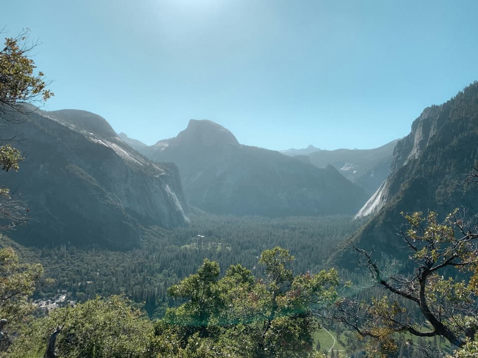
Beyond Yosemite Point, the route leaves the Valley-facing rim for forest, open glades and bare granite. North Dome gives a face-on view of Half Dome with Tenaya Canyon below and Clouds Rest behind it. The open summit is the best place to frame those landmarks together. The Indian Rock spur adds a natural granite arch, but it is a detour rather than a required stop. This is the Eastern North Rim; the separate Full North Rim continues farther west to El Capitan and is a much longer hike.

Down Snow CreekSnow Creek drops back toward the Valley on a long run of steep switchbacks.

Snow Creek drops back toward the Valley on a long run of steep switchbacks. After roughly a dozen turns, views open across Half Dome, the Quarter Domes and Clouds Rest; the trail later leaves the open canyon wall for forest. Snow Creek Falls is nearby but cannot be seen from the trail. The descent reaches Mirror Lake and the eastern Valley.

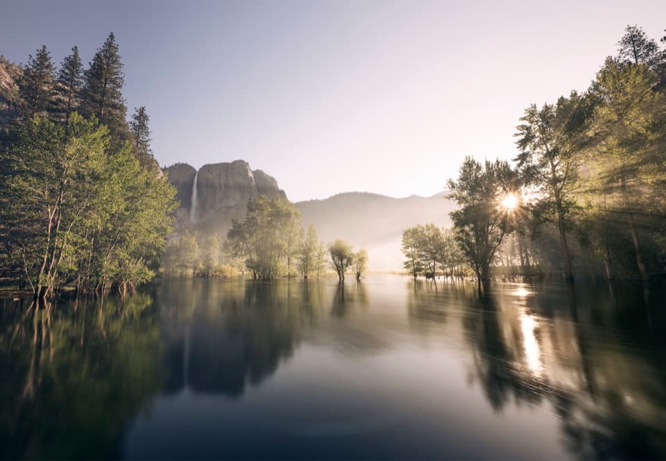
Flow and footingYosemite Fall is strongest in spring and can be down to a trickle by August.

Yosemite Fall is strongest in spring and can be down to a trickle by August. The upper Yosemite Falls trail and lower Snow Creek can be snow-covered or icy in winter. Much of the traverse is exposed, and summer heat adds to an already long climb and descent; check current trail conditions before setting out.

Wildlife

Wildlife in Yosemite

All Yosemite wildlife maps

Sighting maps show where each species has been reported across Yosemite. Wildlife moves, so no sighting is guaranteed.

Keep exploring

Near Eastern North Rim Traverse

See it all on the map

Trails that start nearby

Places near the trailhead

Parkwolf’s Yosemite ranking

Top-rated trails in Yosemite

All 141 trails
  1. 1Half Dome TrailChallenging · 14.3 mi
  2. 2Clouds Rest TrailChallenging · 14 mi
  3. 3Nevada Fall Loop via Mist and John Muir TrailsChallenging · 6.4 mi
  4. 4Yosemite Falls TrailChallenging · 7.2 mi
  5. 5Panorama TrailChallenging · 8.2 mi
  6. 6Four Mile TrailChallenging · 4.8 mi

Take Parkwolf to Yosemite.

The audio tour guide for the drive, plus offline maps, trails, and wildlife heatmaps for when the signal drops.

4.7 from 8,600+ ratings

Download Parkwolf on the App StoreGet Parkwolf on Google Play