Parking
Swinging Bridge Picnic Area is the recommended start and has nearby pit toilets. Parking can be hard to find, especially on weekends; Yosemite Village or Yosemite Falls parking are alternatives but add a walk to the bridge.

Yosemite National Park, CA
Two meadows, river bridges, and a Half Dome view in one walk.
Overview
Map & elevation
Plan your hike

“You're coming up on the Four Mile Trailhead, with Swinging Bridge Picnic Area nearby. For an easy break, choose the picnic area: mostly level paths reach the Merced River and a view of Yosemite Falls.”
Yosemite Tour Guide
Parkwolf is a GPS audio tour guide for Yosemite National Park. As you drive, it chimes in with what’s ahead: hidden gems, upcoming stops, history, geology, and wildlife, right through your car’s speakers.
See the Yosemite audio tourRecorded for this trailhead
Swinging Bridge and Four Mile Trail“You're coming up on the Four Mile Trailhead, with Swinging Bridge Picnic Area nearby. For an easy break, choose the picnic area: mostly level paths reach the Merced River and a view of Yosemite Falls.”
Plays as you drive up to this trailhead in the Parkwolf Yosemite Tour Guide.
More stories near here in the app
“We just drove through Yosemite and it made our trip listening to this app as we drove through. Like having a tour guide in the car with you.”


Trail guide
This is the 2.25-mile loop linking Sentinel Meadow and Cook’s Meadow, with crossings of Swinging Bridge and Sentinel Bridge. Allow 1–2 hours for an easy, nearly level valley walk with river, Half Dome and waterfall views. It is the longer circuit; the separate one-mile Cook’s Meadow loop from Yosemite Valley Visitor Center is an overlapping, shorter option.
Start at Swinging Bridge Picnic Area and join the path by the bridge’s west approach. The route passes Yosemite Lodge and the Lower Yosemite Fall area, follows Cook’s Meadow and its boardwalk, crosses Sentinel Bridge, then returns through Sentinel Meadow and over Swinging Bridge. Most walking is on pavement or boardwalk, but a brief dirt link and road crossings break up the smooth valley paths; some stretches share space with bicycles.
Swinging Bridge Picnic Area is the recommended starting parking, but spaces can be hard to find, especially on weekends. Yosemite Village or Yosemite Falls parking adds a walk. Pit toilets are at Swinging Bridge; Yosemite Lodge and Lower Yosemite Fall have restrooms, and the lodge has food options. The boardwalk can be slippery when wet, snowy or frosty. Leashed pets are allowed on specified paved paths and the Cook’s Meadow boardwalk, but the short dirt connector means pets cannot complete this full loop.
Wildlife
 732 sightingsBlack BearMost seen around 7 PMSighting map
 1,747 sightingsMule DeerMost seen around 6 PMSighting map
 332 sightingsCoyoteMost seen around 7 PMSighting map
 11 sightingsPeregrine FalconMost seen around 8 AMSighting map
 276 sightingsPikaMost seen around 8 AMSighting map
 677 sightingsYellow-bellied MarmotMost seen around 8 AMSighting map
Sighting maps show where each species has been reported across Yosemite. Wildlife moves, so no sighting is guaranteed.
Keep exploring
 ChallengingFour Mile Trail4.8 mi · 3.5 hr · 0.2 mi awayClimb Yosemite’s south wall for a broader view of the Valley.
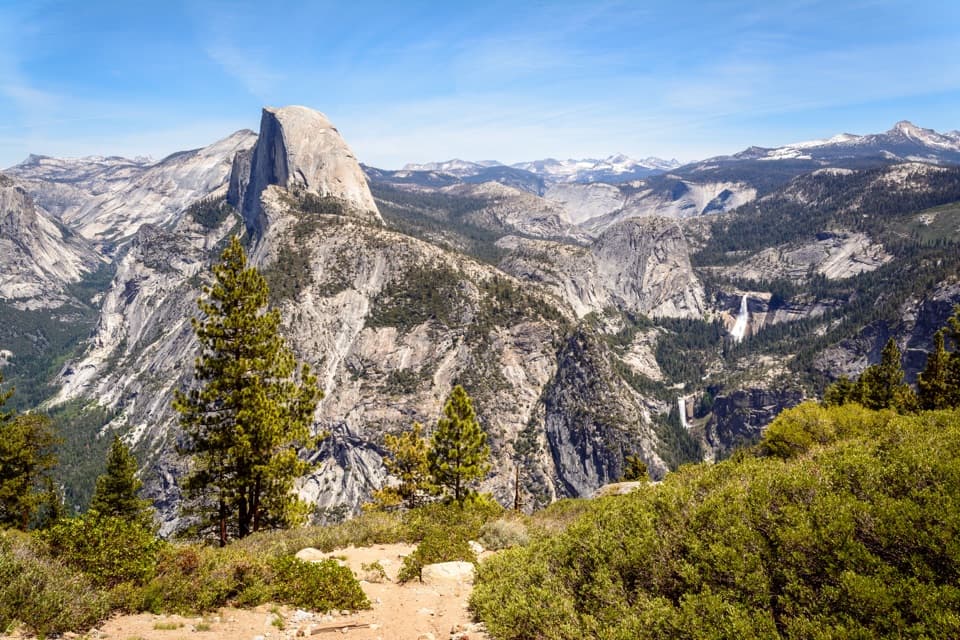 ChallengingFour Mile and Panorama Loop16.7 mi · 10.5 hr · 0.2 mi awayA full-day Yosemite loop from Four Mile to Glacier Point and back.
 ChallengingYosemite Falls Trail7.2 mi · 7 hr · 0.4 mi away60 switchbacks climb to the top of Upper Yosemite Fall
 ChallengingEl Capitan Trail via Yosemite Falls15.4 mi · 10 hr · 0.4 mi awayA full-day summit hike past Yosemite Falls to El Capitan.
 ChallengingEagle Peak Trail12.6 mi · 8.5 hr · 0.4 mi awayA long climb to Eagle Peak’s view across Yosemite Valley.
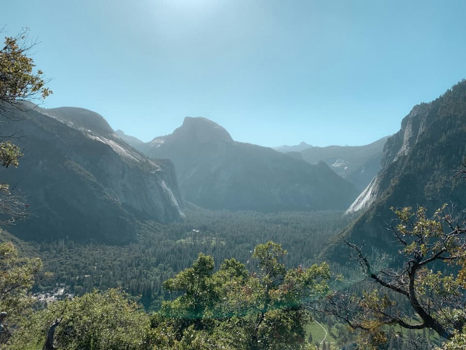 ModerateColumbia Rock Trail2 mi · 2.5 hr · 0.4 mi awayA steep mile opens Yosemite Valley and Half Dome in one sweep.
 ChallengingEastern North Rim Traverse18.1 mi · 12.5 hr · 0.4 mi awayOne-way rim traverse from Yosemite Falls to Mirror Lake via North Dome.
 ChallengingYosemite Point Trail8.8 mi · 8 hr · 0.5 mi awayClimb past Yosemite Falls for Half Dome and Lost Arrow Spire.
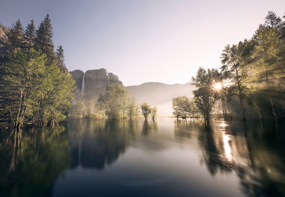 Picnic area · At the trailheadSwinging Bridge Picnic Area (Yosemite Valley)Picnic by the Merced with Yosemite Falls for company.
 Beach · 0.3 mi awaySentinel BeachPicnic under Sentinel Rock with Upper Yosemite Fall in view.
 Campground · 0.4 mi awayCamp 4Shared tent sites steeped in the history of American climbing.
 Lodging · 0.5 mi awayYosemite Valley LodgeStay by the falls with meals, coffee and groceries close by.
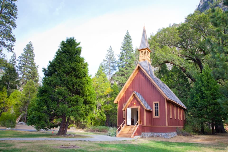 Sight · 0.5 mi awayYosemite ChapelA quiet history stop with a meadow view of the falls.
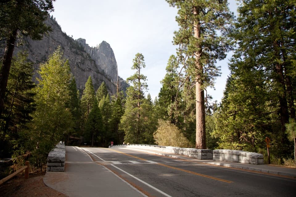 Sight · 0.7 mi awaySentinel BridgeHalf Dome’s river reflection, right from the bridge.Sight · 0.9 mi awayCook's MeadowA level meadow walk gives you the classic Half Dome view.
 Sight · 1 mi awayYosemite FallsThe lower plunge is close; the full 2,425-foot view takes another angle.
Parkwolf’s Yosemite ranking

The audio tour guide for the drive, plus offline maps, trails, and wildlife heatmaps for when the signal drops.



