Parking
Day visitors use the Yosemite Falls parking area across the road and just beyond the Camp 4 entrance; Camp 4 parking is for campers. Valleywide Shuttle stop 7 is near the trailhead.
Yosemite National Park, CA
Climb past Yosemite Falls for Half Dome and Lost Arrow Spire.
Overview
Map & elevation
Plan your hike

“You're nearing Camp 4, the tent campground that became a gathering place for Yosemite climbers after World War Two. Yvon Chouinard made climbing gear here on an old anvil and sold it from the parking lot.”
Yosemite Tour Guide
Parkwolf is a GPS audio tour guide for Yosemite National Park. As you drive, it chimes in with what’s ahead: hidden gems, upcoming stops, history, geology, and wildlife, right through your car’s speakers.
See the Yosemite audio tourRecorded for this trailhead
Camp 4 and Yosemite Falls Trailhead“You're nearing Camp 4, the tent campground that became a gathering place for Yosemite climbers after World War Two. Yvon Chouinard made climbing gear here on an old anvil and sold it from the parking lot.”
Plays as you drive up to this trailhead in the Parkwolf Yosemite Tour Guide.
More stories near here in the app
“We just drove through Yosemite and it made our trip listening to this app as we drove through. Like having a tour guide in the car with you.”


Trail guide
Yosemite Point Trail is an 8.8-mile out-and-back from Camp 4 via the Yosemite Falls Trail. Climb to the top of Yosemite Falls, then head east toward North Dome on the Yosemite Point extension and return the same way. Allow about eight hours. The first climb is strenuous, and the extra distance makes this a full-day hike, but the payoff is a high rim view toward Half Dome and Lost Arrow Spire.
The trail starts behind Camp 4 and gains height on sustained switchbacks through oak woodland. Columbia Rock, about a mile up, opens a view toward Half Dome and Sentinel Rock. Another half mile brings you to a view of Upper Yosemite Fall. The path briefly drops after that overlook before climbing again; the upper half is steep, rocky and exposed.
Near the top, loose granite can be slippery and the tread runs close to steep drops. Yosemite Creek flows directly above the waterfall; do not wade or swim there. Stay on the established path rather than exploring toward the rim.
At the top of the falls, follow the signs toward North Dome for Yosemite Point. The extension adds 1.6 miles round trip. Half Dome fills the view from the point, with Lost Arrow Spire close by. Turn back at Yosemite Point if that is your destination; the trail continues farther toward North Dome.
Yosemite Falls is usually strongest in spring and can be only a trickle by August. The upper trail may hold snow or ice in winter even when the lower section is clear, so check conditions before starting. The route is described as open year-round, but upper-trail winter travel can be hazardous.
There is no drinking water along the trail. Fill up at Camp 4, where the fountain and restrooms are near the start; the National Park Service recommends carrying four liters for the climb to the top of the falls, before adding the Yosemite Point extension. Day visitors use the Yosemite Falls parking area across the road and just beyond the Camp 4 entrance; Camp 4 parking is for campers. Valleywide Shuttle stop 7 is nearby. Pets, bicycles and strollers are not allowed on the trail.
Wildlife
 732 sightingsBlack BearMost seen around 7 PMSighting map
 1,747 sightingsMule DeerMost seen around 6 PMSighting map
 332 sightingsCoyoteMost seen around 7 PMSighting map
 11 sightingsPeregrine FalconMost seen around 8 AMSighting map
 276 sightingsPikaMost seen around 8 AMSighting map
 677 sightingsYellow-bellied MarmotMost seen around 8 AMSighting map
Sighting maps show where each species has been reported across Yosemite. Wildlife moves, so no sighting is guaranteed.
Keep exploring
 ChallengingYosemite Falls Trail7.2 mi · 7 hr · 0.1 mi away60 switchbacks climb to the top of Upper Yosemite Fall
 ChallengingEl Capitan Trail via Yosemite Falls15.4 mi · 10 hr · 0.1 mi awayA full-day summit hike past Yosemite Falls to El Capitan.
 ChallengingEagle Peak Trail12.6 mi · 8.5 hr · 0.1 mi awayA long climb to Eagle Peak’s view across Yosemite Valley.
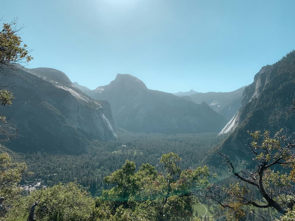 ModerateColumbia Rock Trail2 mi · 2.5 hr · 0.1 mi awayA steep mile opens Yosemite Valley and Half Dome in one sweep.
 ChallengingEastern North Rim Traverse18.1 mi · 12.5 hr · 0.1 mi awayOne-way rim traverse from Yosemite Falls to Mirror Lake via North Dome.
 EasyLower Yosemite Fall Trail1 mi · 30 min · 0.5 mi awayA short paved loop to the base of Yosemite Falls
 ModerateYosemite Valley Loop Trail11.5 mi · 6 hr · 0.5 mi awayA long, mostly level circuit beneath granite walls and valley waterfalls.
 ModerateYosemite Valley Loop Trail (Half Loop)7.2 mi · 3 hr · 0.5 mi awayA mostly level traverse beneath Three Brothers and El Capitan.
 Campground · 0.1 mi awayCamp 4Shared tent sites steeped in the history of American climbing.
 Lodging · 0.3 mi awayYosemite Valley LodgeStay by the falls with meals, coffee and groceries close by.
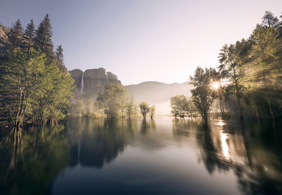 Picnic area · 0.5 mi awaySwinging Bridge Picnic Area (Yosemite Valley)Picnic by the Merced with Yosemite Falls for company.
 Beach · 0.6 mi awaySentinel BeachPicnic under Sentinel Rock with Upper Yosemite Fall in view.
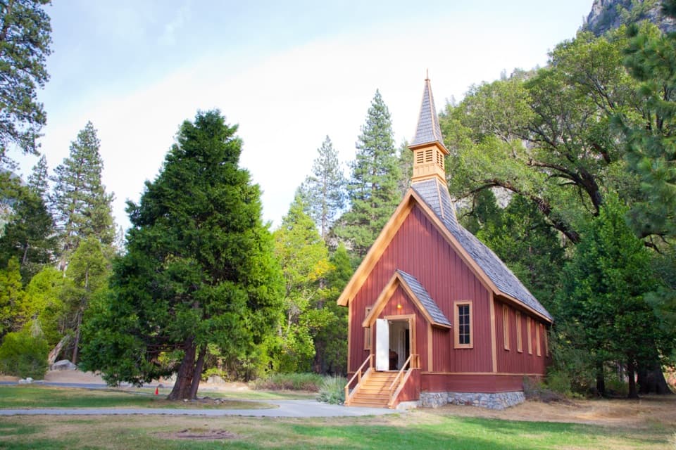 Sight · 0.6 mi awayYosemite ChapelA quiet history stop with a meadow view of the falls.
 Sight · 0.7 mi awayYosemite FallsThe lower plunge is close; the full 2,425-foot view takes another angle.
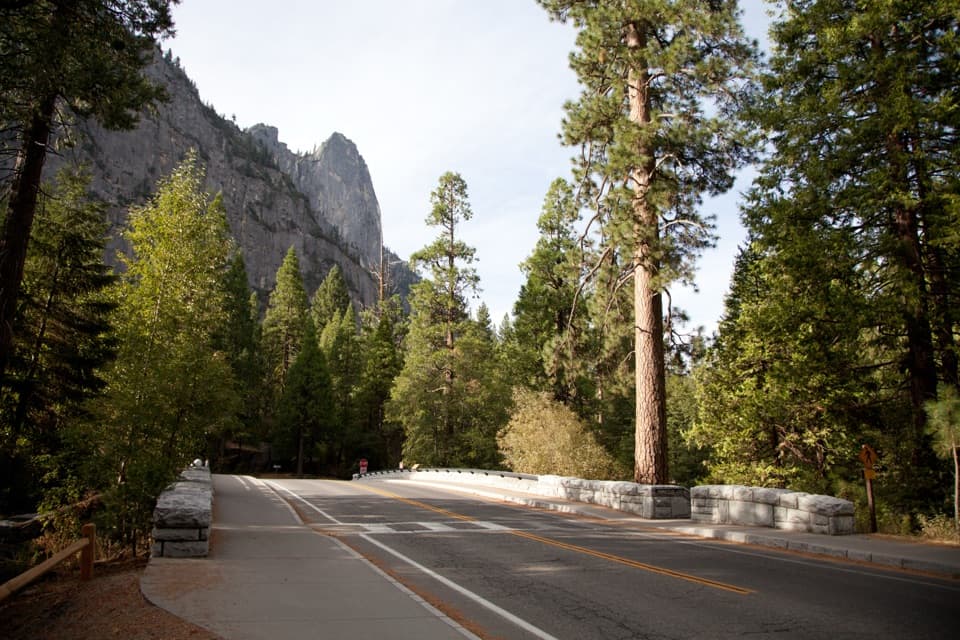 Sight · 0.7 mi awaySentinel BridgeHalf Dome’s river reflection, right from the bridge.
 Sight · 0.8 mi awayCook's MeadowA level meadow walk gives you the classic Half Dome view.
Parkwolf’s Yosemite ranking

The audio tour guide for the drive, plus offline maps, trails, and wildlife heatmaps for when the signal drops.




