Parking
Park in the Glacier Point lot; the Panorama Trailhead starts by the overlook. Restrooms are nearby, with a cafeteria and gift shop in season.
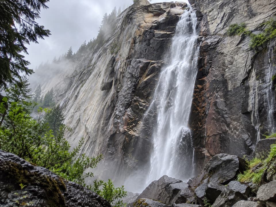
Yosemite National Park, CA
Creekside granite and valley views, with a long climb back.
Overview
Map & elevation
Plan your hike

“You're coming up on Glacier Point, more than three thousand feet above Curry Village. Half Dome is the obvious landmark, but give yourself time to look down into the Valley and across to the high Sierra too.”
Yosemite Tour Guide
Parkwolf is a GPS audio tour guide for Yosemite National Park. As you drive, it chimes in with what’s ahead: hidden gems, upcoming stops, history, geology, and wildlife, right through your car’s speakers.
See the Yosemite audio tourRecorded for this trailhead
Glacier Point“You're coming up on Glacier Point, more than three thousand feet above Curry Village. Half Dome is the obvious landmark, but give yourself time to look down into the Valley and across to the high Sierra too.”
Plays as you drive up to this trailhead in the Parkwolf Yosemite Tour Guide.
More stories near here in the app
“We just drove through Yosemite and it made our trip listening to this app as we drove through. Like having a tour guide in the car with you.”


Trail guide
Illilouette Fall Trail is about a 5-mile out-and-back from Glacier Point along the first part of Panorama Trail to the bridge over Illilouette Creek and back. The mapped walk is about 2.5 miles each way; some descriptions give 4 miles for the same outing. It drops roughly 1,300 feet to the creek, then makes you climb that ground back. Allow three to four hours. Go for the long Yosemite Valley views and a creekside break, not for a close, front-on look at the 370-foot waterfall: the fall itself is hard to see well from this route.
From Glacier Point, the trail follows long switchbacks down the granite slope toward Illilouette Creek. The grade is steady but not a scramble. Views open toward Half Dome, North Dome, the Royal Arches, and Vernal and Nevada Falls across the eastern side of Yosemite Valley. The creek bridge is the turnaround for this shorter walk; Panorama Trail continues beyond it toward Yosemite Valley, making a much longer one-way hike.
The destination is a wooden footbridge over the creek, with granite benches and short cascades nearby. Illilouette Fall drops 370 feet downstream, but the trail doesn't give a particularly clear view of the main drop. The cascades over the granite are the better place to pause, and a frame that includes the creek and rock shows more of what this stop is like. Waterfall flow is strongest around late May.
Park at the Glacier Point lot and begin at the Panorama Trailhead near the overlook. Restrooms are by the trailhead, with a cafeteria and gift shop available seasonally. Glacier Point Road usually opens from late May into October or November, depending on conditions, so check its status before driving. Yosemite does not allow pets on trails; trained service animals are permitted.
Wildlife
 732 sightingsBlack BearMost seen around 7 PMSighting map
 1,747 sightingsMule DeerMost seen around 6 PMSighting map
 332 sightingsCoyoteMost seen around 7 PMSighting map
 11 sightingsPeregrine FalconMost seen around 8 AMSighting map
 276 sightingsPikaMost seen around 8 AMSighting map
 677 sightingsYellow-bellied MarmotMost seen around 8 AMSighting map
Sighting maps show where each species has been reported across Yosemite. Wildlife moves, so no sighting is guaranteed.
Keep exploring
 ChallengingPanorama Trail8.2 mi · 7 hr · At the trailheadA one-way descent past Illilouette Fall into Yosemite Valley.
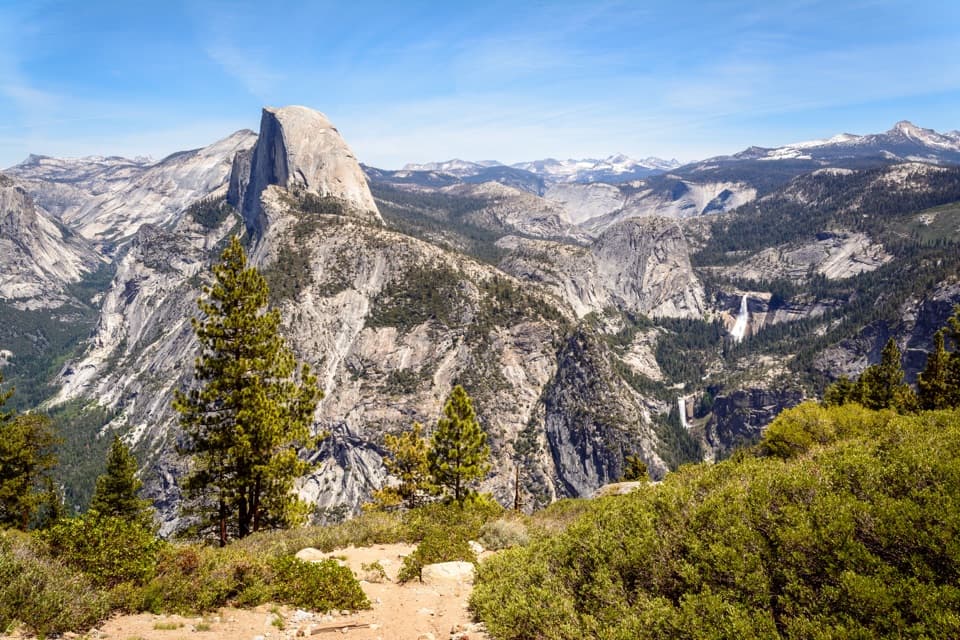 ChallengingTheodore Solomons Trail (Yosemite Section)20.1 mi · 18 hr · 0.1 mi awayA remote 20-mile route from Glacier Point to Yosemite's southern boundary.
 EasyGlacier Point Overlook Trail0.3 mi · 15 min · 0.1 mi awayHalf Dome and the high Sierra from a short paved overlook walk.
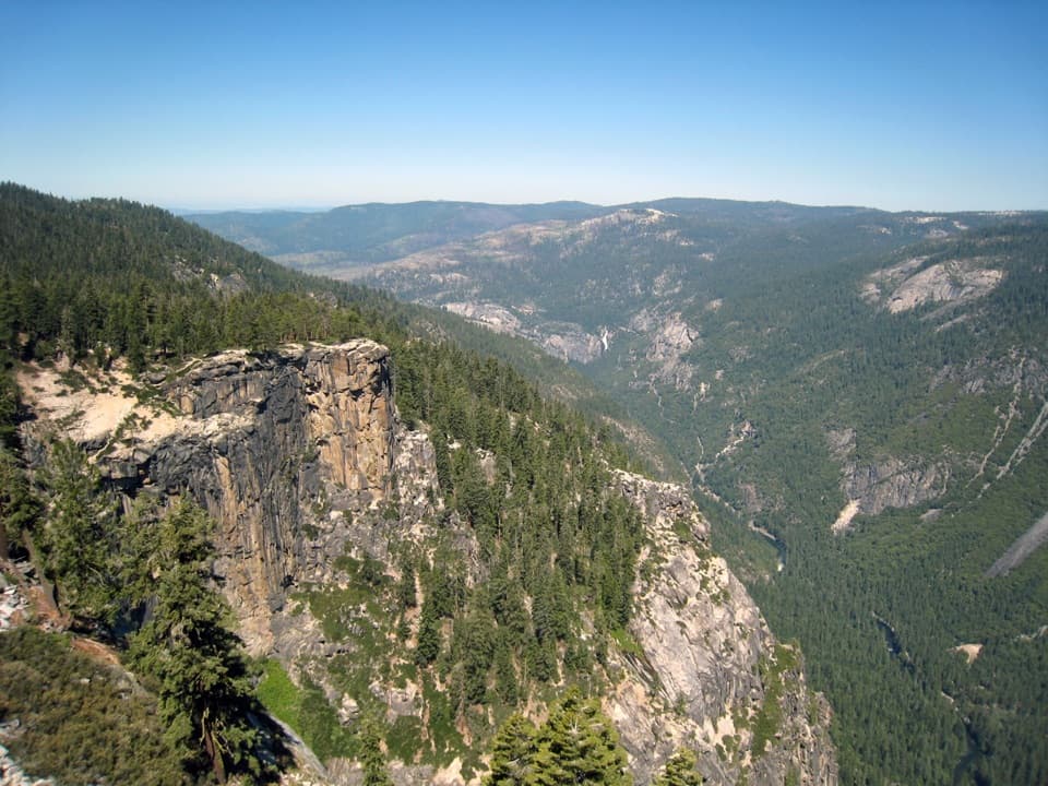 ChallengingPohono Trail12.5 mi · 9 hr · 0.1 mi awayFive south-rim viewpoints make this long day earn its keep.
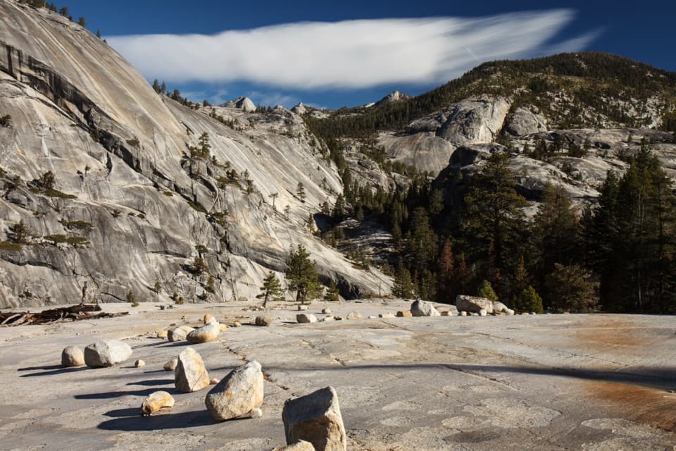 ChallengingHappy Isles to Merced Lake Trail26.2 mi · 18 hr · 0.9 mi awayClimb past two waterfalls to a high-country lake.
 ChallengingHalf Dome Trail14.3 mi · 11 hr · 0.9 mi awayWaterfalls first, then an exposed cable climb to a High Sierra summit.
 ChallengingJohn Muir Trail: Happy Isles to Donohue Pass35.4 mi · 1 day · 0.9 mi awayWaterfalls at the start, then high Sierra miles to Donohue Pass
 EasyHappy Isles Nature Trail to the Fen0.8 mi · 30 min · 0.9 mi awayA short, accessible walk to a groundwater-fed Yosemite Valley fen.
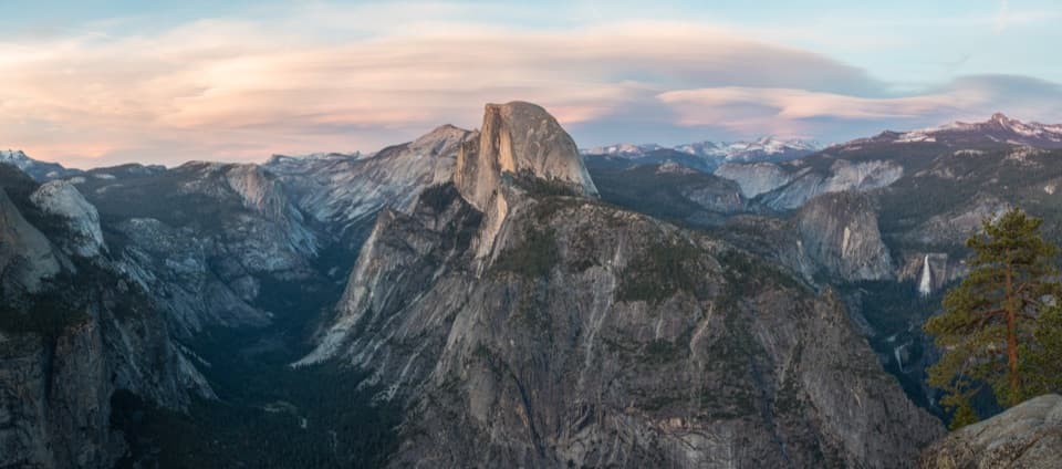 Sight · 0.1 mi awayGlacier PointA broad panorama of Yosemite Valley, Half Dome and waterfalls.
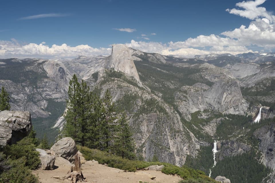 Sight · 0.6 mi awayWashburn PointHalf Dome and three waterfalls share this roadside panorama.
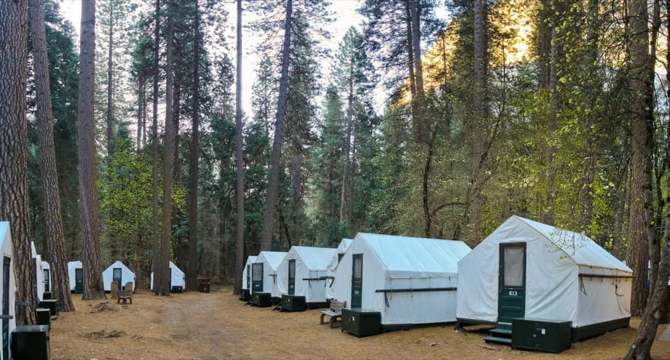 Lodging · 0.6 mi awayCurry VillageHistoric tent-cabin lodging with dining in Yosemite Valley.
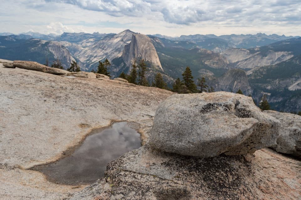 Sight · 0.7 mi awaySentinel DomeA short granite scramble, then the whole horizon opens up.
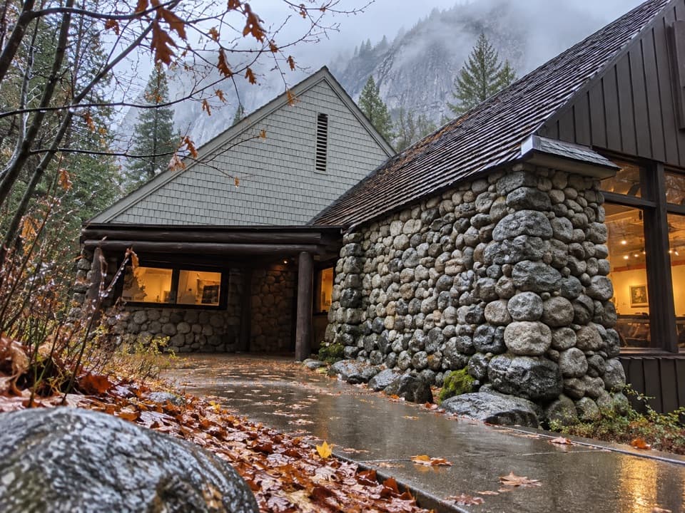 Sight · 0.8 mi awayHappy Isles Art and Nature CenterHands-on nature displays, with river-isle walks just outside.
 Campground · 0.8 mi awayUpper Pines CampgroundFor Valley days, a handy camp with close sites and shuttle access.
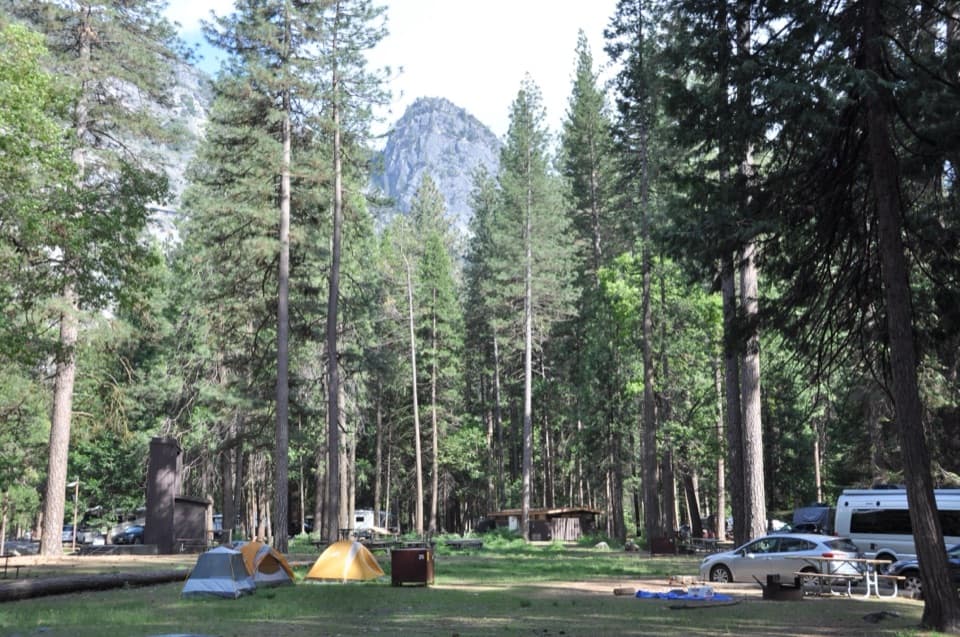 Campground · 0.8 mi awayLower Pines CampgroundA riverside Yosemite Valley base with free shuttle access.
 Sight · 0.8 mi awayYosemite Conservation Heritage CenterA historic granite lodge with a bigger conservation story.
Parkwolf’s Yosemite ranking

The audio tour guide for the drive, plus offline maps, trails, and wildlife heatmaps for when the signal drops.



