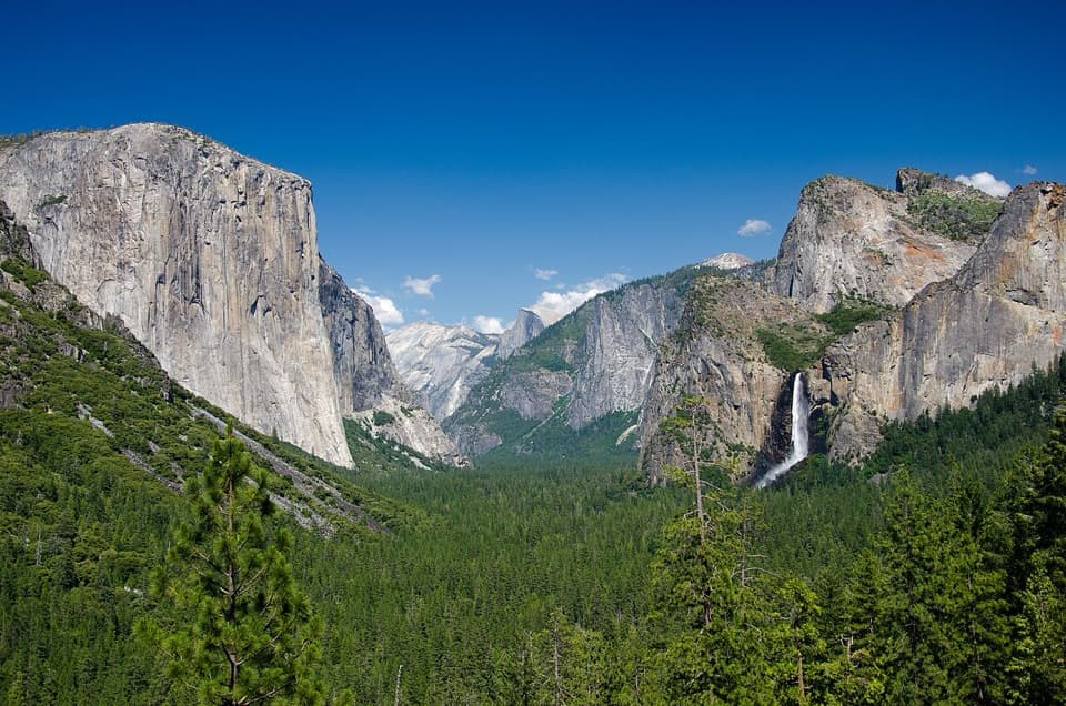
Pros & cons
PROS
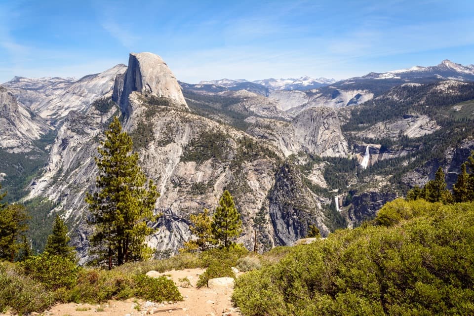
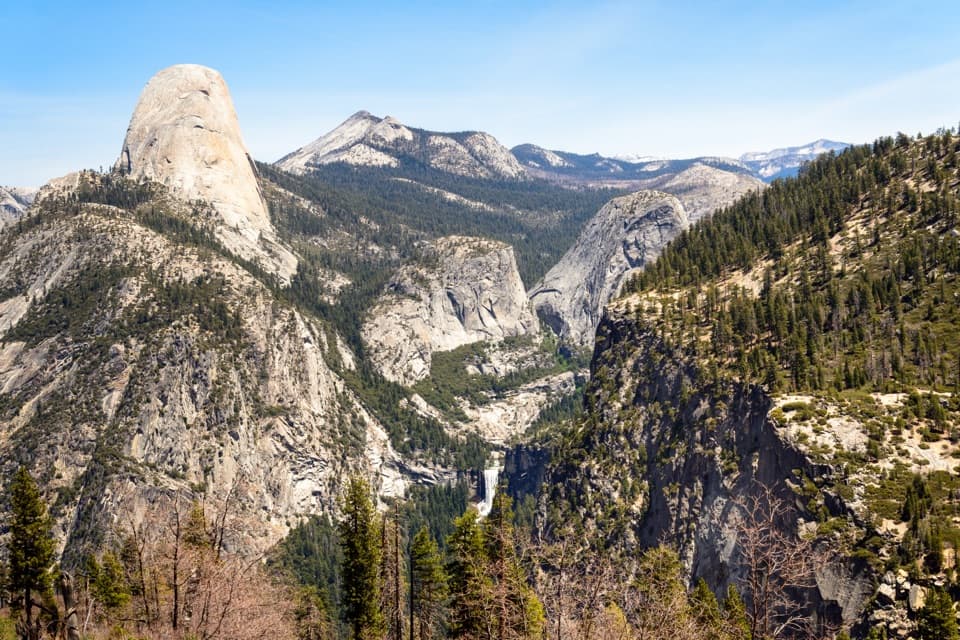
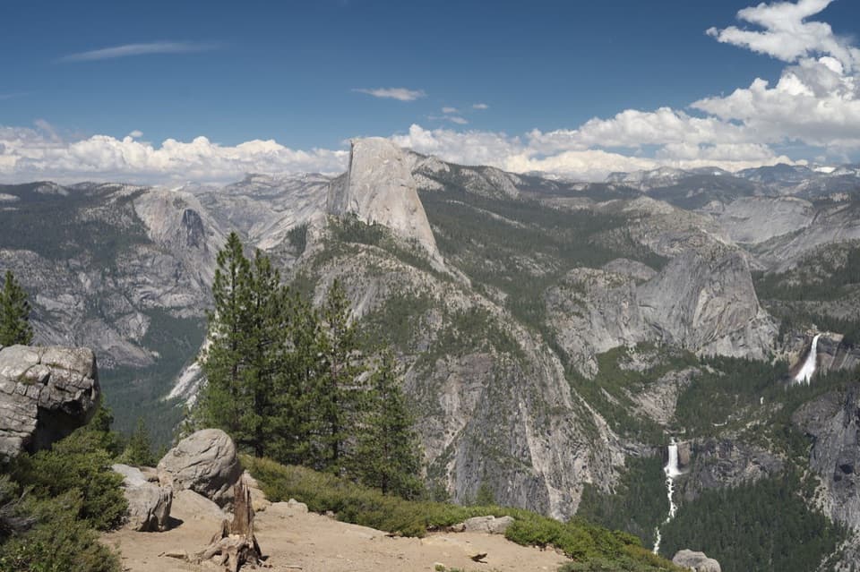
- Panoramic look at Half Dome plus Vernal, Nevada, and Illilouette Falls
- Often less crowded than nearby Glacier Point
CONS
- No restrooms or water on-site
- Small parking pullout that fills quickly
Overview
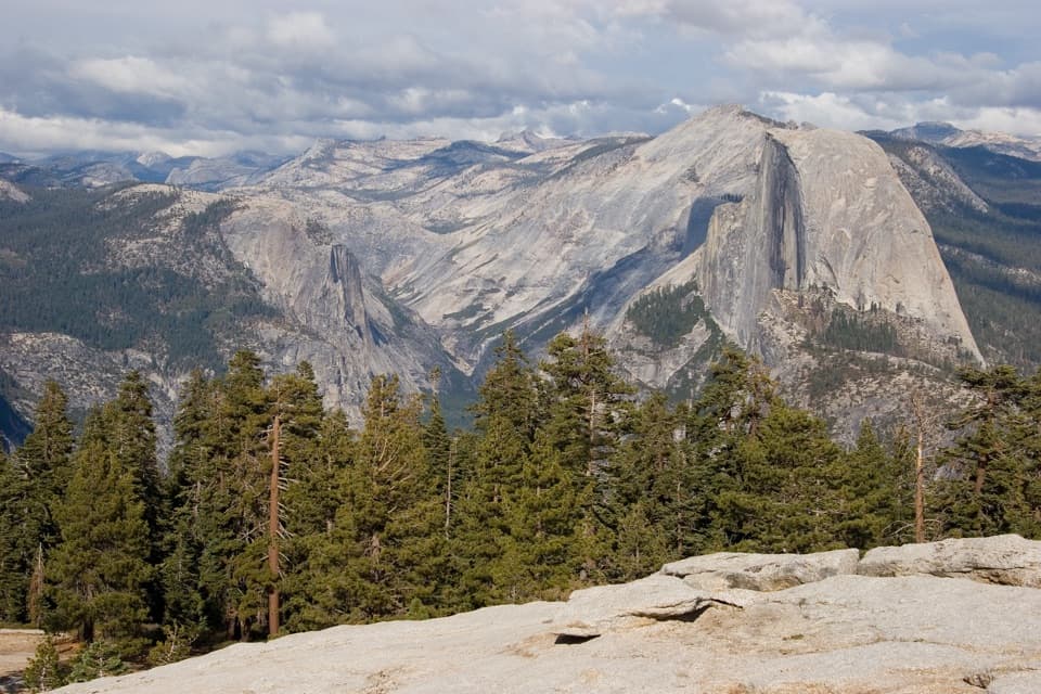
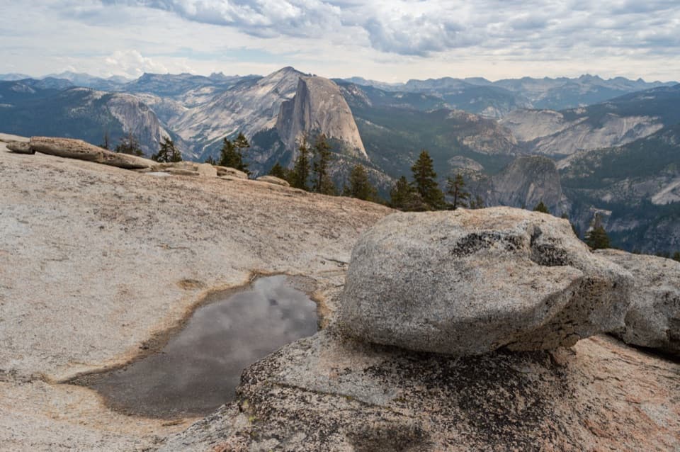
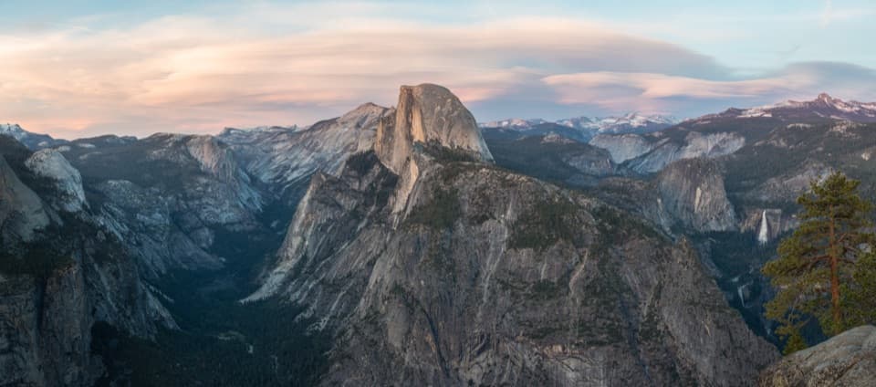
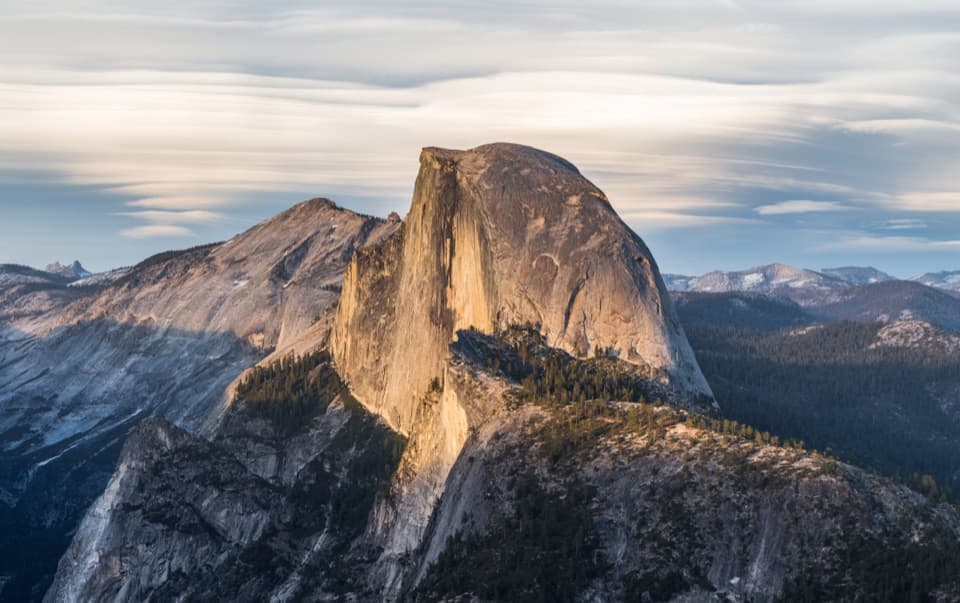
Washburn Point is a roadside viewpoint with a huge payoff: a sweeping, side-on view of Half Dome with Vernal, Nevada, and Illilouette Falls lined up below, and the High Sierra stretching beyond. It sits about three-quarters of a mile before Glacier Point, offering a different angle and, often, thinner crowds than the park’s marquee overlook.
What You’ll See
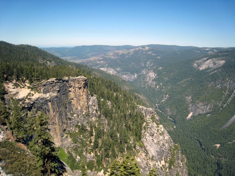
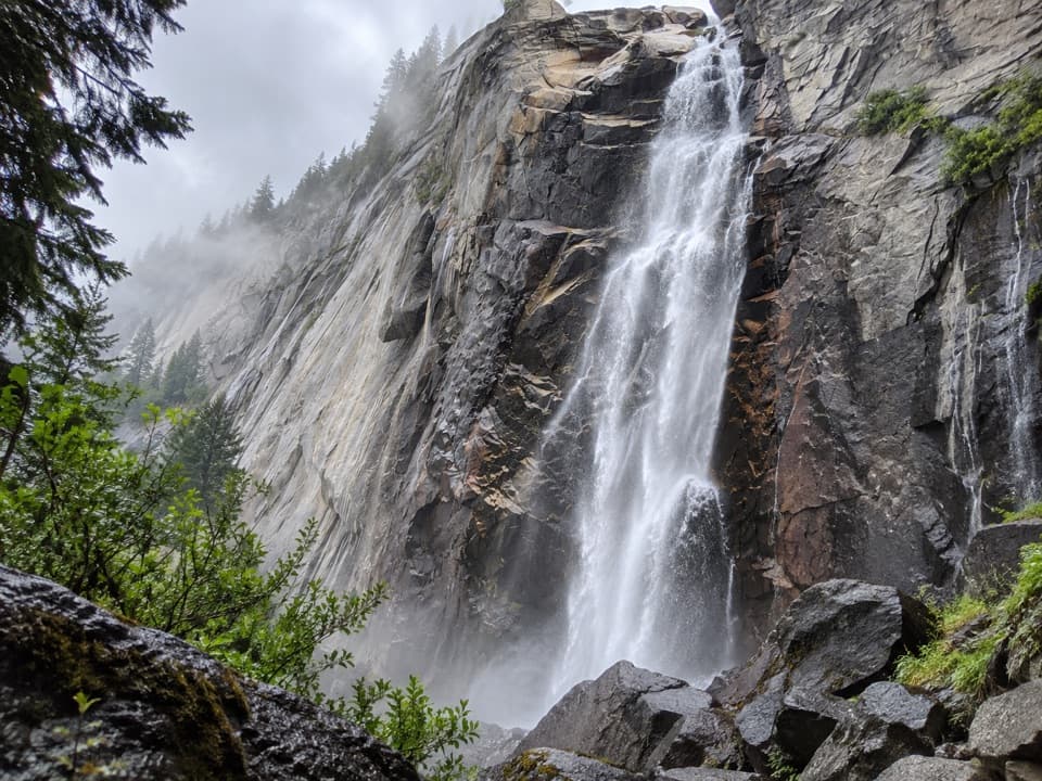
From the railings you’ll catch the Merced River’s “giant staircase” of waterfalls—Vernal and Nevada—plus Illilouette Fall across the canyon, all framed by granite domes and ridgelines. It’s the classic Yosemite story in one glance: hard Sierra Nevada granites uplifted over time, then carved by Ice Age glaciers into today’s U-shaped canyons and polished domes.
Season & Access
Access is tied to Glacier Point Road, which typically opens late spring and closes after the first significant snowfall in late fall. In winter, hardy visitors reach the area by cross-country skis when conditions allow (about 10.5 miles one way from the Badger Pass area). Vehicle rules apply on this road: no vehicles longer than 30 feet and no trailers beyond the Sentinel Dome parking area, and overnight parking is prohibited beginning October 15.
Facilities (or lack thereof)
There are no restrooms or water at Washburn Point. You’ll find vault toilets (and in summer, drinking water) at Glacier Point, and vault toilets at the Taft Point/Sentinel Dome trailhead along Glacier Point Road. Trash and recycling are provided at Washburn Point.
Photography & Best Time to Visit
Sunrise and sunset light can be stellar on Half Dome and the falls. If you’re heading to Glacier Point, stop here first for a fresh perspective, then continue up the road. Parking is limited and fills during peak periods—arrive early or swing by later in the day for a calmer experience.
Tips for a Smooth Stop
- Check Glacier Point Road status before you go; mountain weather changes fast.
- Bring layers and a wind shell—conditions can flip even on warm days.
- Binoculars make the waterfall details and climbers on nearby walls pop.
Where it is
37.7205, -119.5730Tips for Washburn Point
- 01Stop here before Glacier Point to appreciate the different angle.
- 02Arrive early or late day; the small pullout fills quickly.
- 03Check Glacier Point Road status before you go, especially in spring and fall.
- 04No toilets or water here—use facilities at Glacier Point or Taft Point trailhead.
- 05Bring binoculars to pick out details on Vernal and Nevada Falls.
Amenities
Near Washburn Point
All places →All trails →
0.5 mi awayGlacier Point TrailIconic Half Dome views via a short, paved stroll along the rim.Easy · 0.6 mi · 18 min
0.5 mi awayGlacier Point Ski HutSki-in winter hut with Half Dome views from Glacier PointLodging · Restroom
0.5 mi awayPanorama TrailBig-view descent from Glacier Point past Illilouette, Nevada, VernalChallenging · 8.5 mi · 5.5 hr
0.5 mi awayGlacier Point Trailside MuseumHistoric stone geology hut framing Glacier Point’s epic viewExhibit · Scenic Viewpoint
0.5 mi awayGlacier PointFront-row view of Half Dome, Yosemite Falls, and the ValleyTrailhead · Restroom
0.6 mi awaySentinel DomeShort hike to one of the best 360-degree viewsTrailhead · Parking
0.9 mi awaySentinel Dome TrailShort hike, huge 360° views from a broad granite summit.Easy · 2.2 mi · 1.5 hr
0.9 mi awaySentinel Dome to Taft Point LoopTwo blockbuster rim views on one moderate Glacier Point Road loopModerate · 5.1 mi · 3 hr