Parking
Use the Glacier Point parking and tour unloading area at the end of Glacier Point Road; the paved walk starts from the main lot.

Yosemite National Park, CA
Half Dome and the high Sierra from a short paved overlook walk.
Overview
Map & elevation
Plan your hike

“You're coming up on Glacier Point, more than three thousand feet above Curry Village. Half Dome is the obvious landmark, but give yourself time to look down into the Valley and across to the high Sierra too.”
Yosemite Tour Guide
Parkwolf is a GPS audio tour guide for Yosemite National Park. As you drive, it chimes in with what’s ahead: hidden gems, upcoming stops, history, geology, and wildlife, right through your car’s speakers.
See the Yosemite audio tourRecorded for this trailhead
Glacier Point“You're coming up on Glacier Point, more than three thousand feet above Curry Village. Half Dome is the obvious landmark, but give yourself time to look down into the Valley and across to the high Sierra too.”
Plays as you drive up to this trailhead in the Parkwolf Yosemite Tour Guide.
More stories near here in the app
“We just drove through Yosemite and it made our trip listening to this app as we drove through. Like having a tour guide in the car with you.”


Trail guide
Glacier Point Overlook Trail is a paved out-and-back, 300 yards each way (600 yards round trip, about 0.34 mile). The park estimates 10–15 minutes for the walk itself. It is a short leg-stretch at the end of a long drive, with Yosemite Valley and Half Dome spread below the overlook.
The pavement has a gentle grade, but the viewpoint is 3,214 feet above Curry Village. Stay on the established terrace and keep children close. Yosemite currently describes the paved access as wheelchair accessible; its 2022 accessibility guide says the 300-yard switchback has sections steeper than accessible grades. Check with the park which path fits your needs if that distinction matters. Pets are not allowed on this trail under park rules, even though it is paved.
Half Dome anchors a sweep that also takes in Yosemite Falls and the high country. Give yourself a little time to look beyond the dome; the Valley and distant ridges make this a worthwhile panorama, not just a quick checkmark at the railing.
Start from the Glacier Point parking and tour unloading area at the end of Glacier Point Road. The road usually opens from late May through October or November, depending on conditions; Yosemite Valley is about an hour away by car. There is no regular shuttle between the Valley and Glacier Point.
Theodore Roosevelt and John Muir visited Glacier Point during a three-day trip through Yosemite. Buffalo Soldiers from the Ninth Cavalry escorted them and were asked to clear the Four Mile Trail for Roosevelt; Muir and the president used the assignment as a ruse to slip away from their escorts. The story later appeared in print that year.
Wildlife
 732 sightingsBlack BearMost seen around 7 PMSighting map
 1,747 sightingsMule DeerMost seen around 6 PMSighting map
 332 sightingsCoyoteMost seen around 7 PMSighting map
 11 sightingsPeregrine FalconMost seen around 8 AMSighting map
 276 sightingsPikaMost seen around 8 AMSighting map
 677 sightingsYellow-bellied MarmotMost seen around 8 AMSighting map
Sighting maps show where each species has been reported across Yosemite. Wildlife moves, so no sighting is guaranteed.
Keep exploring
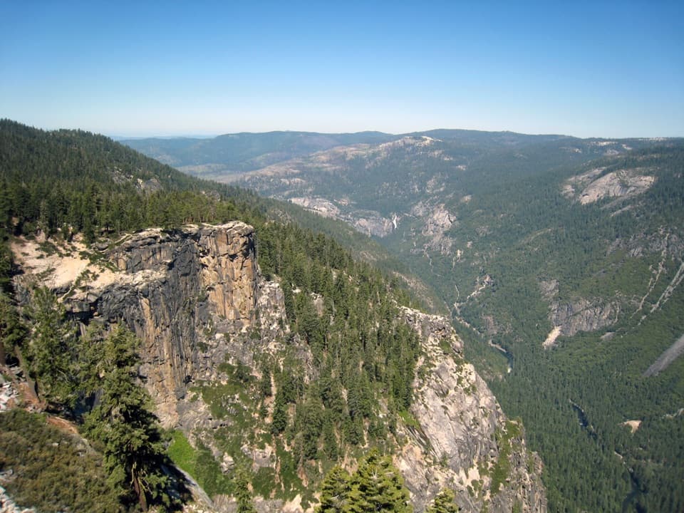 ChallengingPohono Trail12.5 mi · 9 hr · At the trailheadFive south-rim viewpoints make this long day earn its keep.
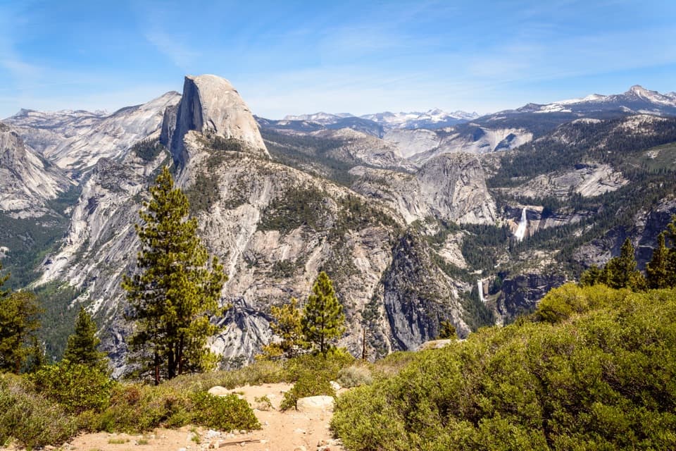 ChallengingTheodore Solomons Trail (Yosemite Section)20.1 mi · 18 hr · At the trailheadA remote 20-mile route from Glacier Point to Yosemite's southern boundary.
 ChallengingPanorama Trail8.2 mi · 7 hr · 0.1 mi awayA one-way descent past Illilouette Fall into Yosemite Valley.
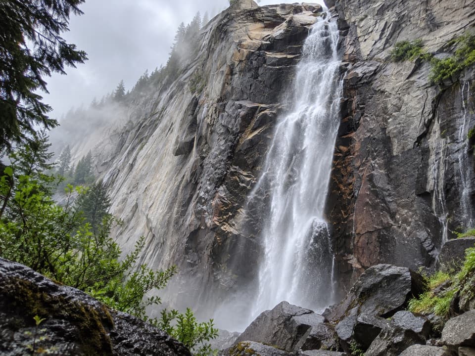 ModerateIllilouette Fall Trail5 mi · 3.5 hr · 0.1 mi awayCreekside granite and valley views, with a long climb back.
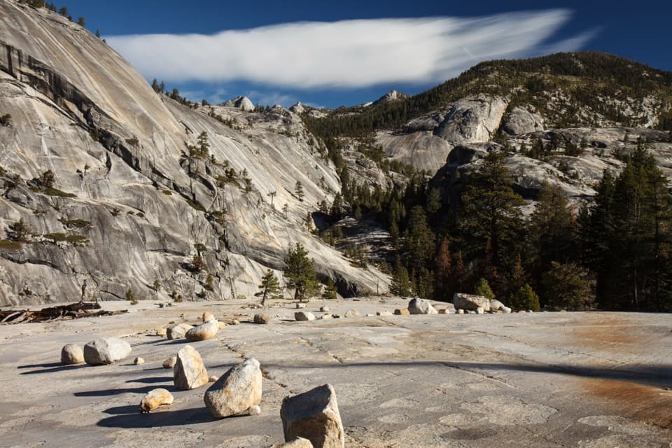 ChallengingHappy Isles to Merced Lake Trail26.2 mi · 18 hr · 1 mi awayClimb past two waterfalls to a high-country lake.
 ChallengingHalf Dome Trail14.3 mi · 11 hr · 1 mi awayWaterfalls first, then an exposed cable climb to a High Sierra summit.
 ChallengingJohn Muir Trail: Happy Isles to Donohue Pass35.4 mi · 1 day · 1 mi awayWaterfalls at the start, then high Sierra miles to Donohue Pass
 EasyHappy Isles Nature Trail to the Fen0.8 mi · 30 min · 1 mi awayA short, accessible walk to a groundwater-fed Yosemite Valley fen.
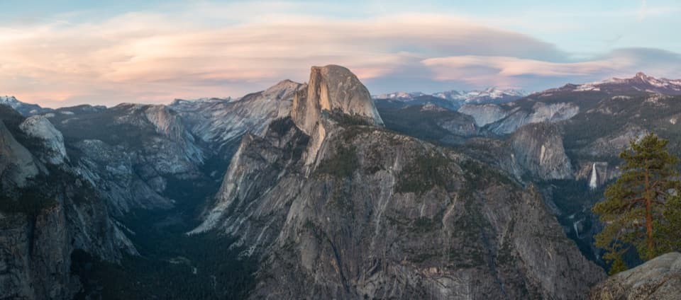 Sight · 0.2 mi awayGlacier PointA broad panorama of Yosemite Valley, Half Dome and waterfalls.
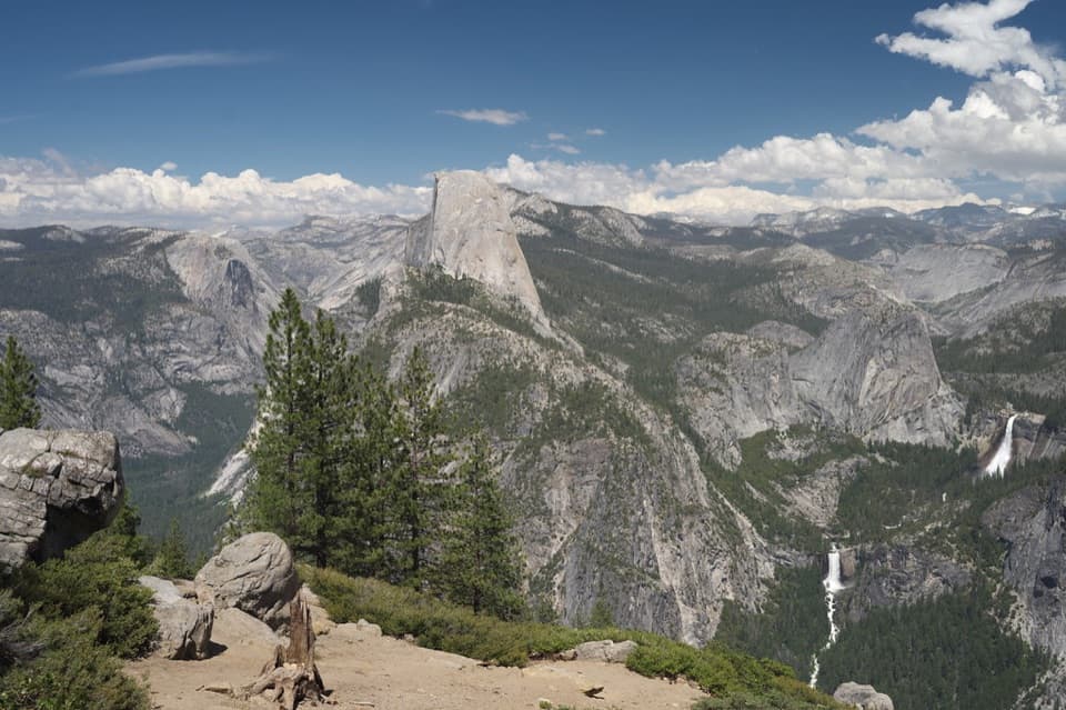 Sight · 0.5 mi awayWashburn PointHalf Dome and three waterfalls share this roadside panorama.
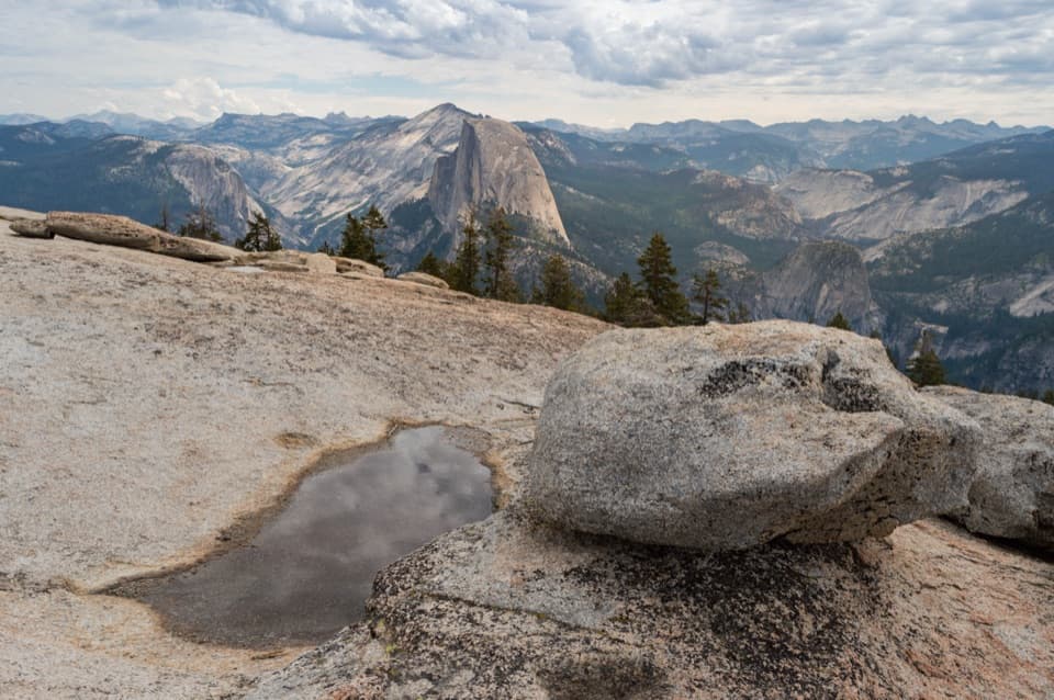 Sight · 0.6 mi awaySentinel DomeA short granite scramble, then the whole horizon opens up.
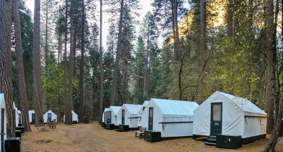 Lodging · 0.7 mi awayCurry VillageHistoric tent-cabin lodging with dining in Yosemite Valley.
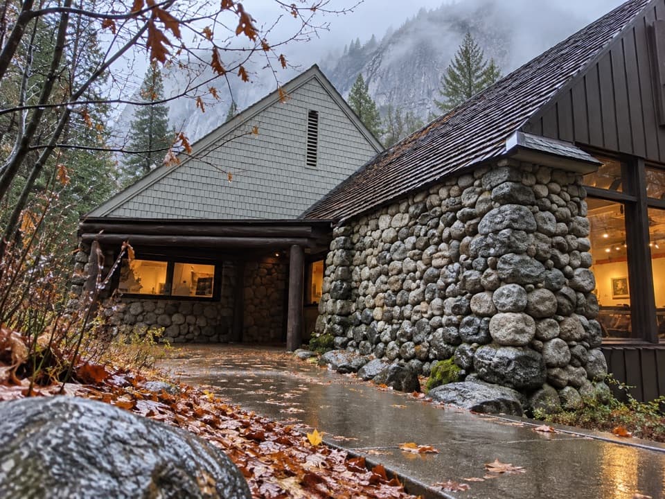 Sight · 0.9 mi awayHappy Isles Art and Nature CenterHands-on nature displays, with river-isle walks just outside.
 Sight · 0.9 mi awayYosemite Conservation Heritage CenterA historic granite lodge with a bigger conservation story.
 Campground · 1 mi awayUpper Pines CampgroundFor Valley days, a handy camp with close sites and shuttle access.
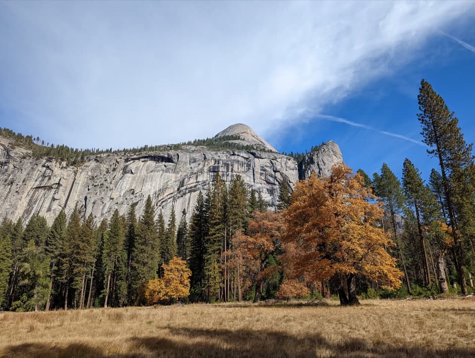 Sight · 1 mi awayStoneman MeadowHalf Dome glows above an easy boardwalk through meadow grass.
Parkwolf’s Yosemite ranking

The audio tour guide for the drive, plus offline maps, trails, and wildlife heatmaps for when the signal drops.



