Parking
No parking is available at Lower Yosemite Fall Trailhead (shuttle stop #6). Use the Yosemite Falls or Yosemite Village parking areas and plan your transport to the start and from the Yosemite Village finish.

Yosemite National Park, CA
A mostly level traverse beneath Three Brothers and El Capitan.
Overview
Map & elevation
Plan your hike

“Up ahead is the Lower Yosemite Fall area, where an easy paved loop brings you close to the bottom drop. Allow about half an hour for the mile-long circuit, plus time to stop.”
Yosemite Tour Guide
Parkwolf is a GPS audio tour guide for Yosemite National Park. As you drive, it chimes in with what’s ahead: hidden gems, upcoming stops, history, geology, and wildlife, right through your car’s speakers.
See the Yosemite audio tourRecorded for this trailhead
Yosemite Falls and the Lower Fall Loop“Up ahead is the Lower Yosemite Fall area, where an easy paved loop brings you close to the bottom drop. Allow about half an hour for the mile-long circuit, plus time to stop.”
Plays as you drive up to this trailhead in the Parkwolf Yosemite Tour Guide.
More stories near here in the app
“We just drove through Yosemite and it made our trip listening to this app as we drove through. Like having a tour guide in the car with you.”


Trail guide
This is the half-loop itinerary on Valley Loop Trail, a 7.2-mile point-to-point walk from Lower Yosemite Fall west toward El Capitan, across El Capitan Bridge, then east on the south side to Yosemite Village. Allow 2.5 to 3.5 hours. The park's current distance is 7.2 miles, while an older park mileage table and the mapped corridor are about 6.5; check the route map and plan for a long walk. Despite its name, this itinerary ends at Yosemite Village rather than returning to shuttle stop #6.
Start at Lower Yosemite Fall Trailhead, near shuttle stop #6. There is no parking at the trailhead; the Yosemite Falls and Yosemite Village parking areas are the main options. Plan how you will reach the start and continue from the Village at the finish. A fountain and restrooms are near the start, but there is no drinking water along the route. For a much shorter outing, the separate Lower Yosemite Fall loop is about 1 mile round trip.
From the start, head west along the base of the Three Brothers and past Camp 4 toward El Capitan. Cross the Merced River at El Capitan Bridge, then turn east on the south-side route to Yosemite Village. The changing views of granite walls, valley meadows and the river corridor are the payoff; expect some stretches near roads as well as quieter sections through meadow and forest.
This walk follows many of Yosemite Valley's early east-west trails and wagon roads. The Three Brothers rise above the westbound stretch, with El Capitan marking the bridge crossing; the route links those landmarks through the valley floor rather than climbing to a summit.
Wildlife
 732 sightingsBlack BearMost seen around 7 PMSighting map
 1,747 sightingsMule DeerMost seen around 6 PMSighting map
 332 sightingsCoyoteMost seen around 7 PMSighting map
 11 sightingsPeregrine FalconMost seen around 8 AMSighting map
 276 sightingsPikaMost seen around 8 AMSighting map
 677 sightingsYellow-bellied MarmotMost seen around 8 AMSighting map
Sighting maps show where each species has been reported across Yosemite. Wildlife moves, so no sighting is guaranteed.
Keep exploring
 EasyLower Yosemite Fall Trail1 mi · 30 min · At the trailheadA short paved loop to the base of Yosemite Falls
 ModerateYosemite Valley Loop Trail11.5 mi · 6 hr · At the trailheadA long, mostly level circuit beneath granite walls and valley waterfalls.
 ChallengingYosemite Falls Trail7.2 mi · 7 hr · 0.4 mi away60 switchbacks climb to the top of Upper Yosemite Fall
 ChallengingEl Capitan Trail via Yosemite Falls15.4 mi · 10 hr · 0.4 mi awayA full-day summit hike past Yosemite Falls to El Capitan.
 ChallengingEagle Peak Trail12.6 mi · 8.5 hr · 0.4 mi awayA long climb to Eagle Peak’s view across Yosemite Valley.
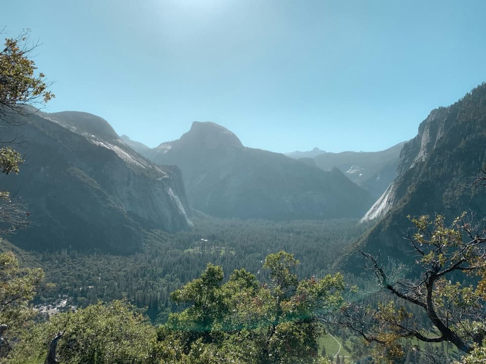 ModerateColumbia Rock Trail2 mi · 2.5 hr · 0.4 mi awayA steep mile opens Yosemite Valley and Half Dome in one sweep.
 ChallengingEastern North Rim Traverse18.1 mi · 12.5 hr · 0.4 mi awayOne-way rim traverse from Yosemite Falls to Mirror Lake via North Dome.
 EasyCook's Meadow Loop1.3 mi · 45 min · 0.5 mi awayAn easy meadow loop with Yosemite Falls and Half Dome views.
 Lodging · 0.2 mi awayYosemite Valley LodgeStay by the falls with meals, coffee and groceries close by.
 Sight · 0.3 mi awayYosemite FallsThe lower plunge is close; the full 2,425-foot view takes another angle.Sight · 0.3 mi awayCook's MeadowA level meadow walk gives you the classic Half Dome view.
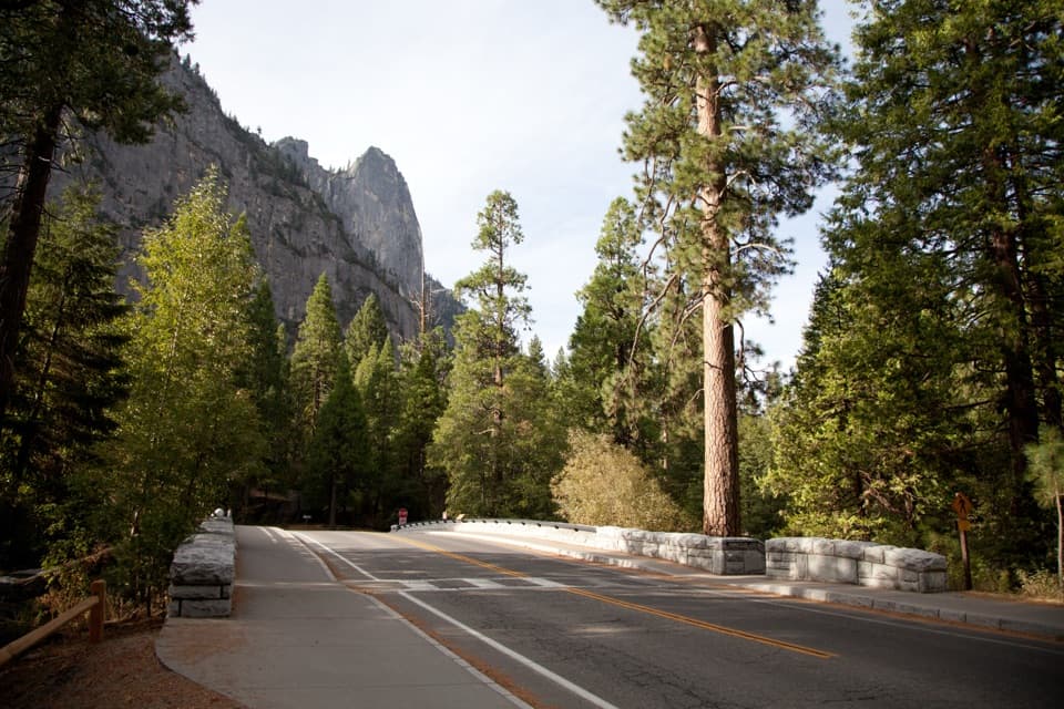 Sight · 0.4 mi awaySentinel BridgeHalf Dome’s river reflection, right from the bridge.
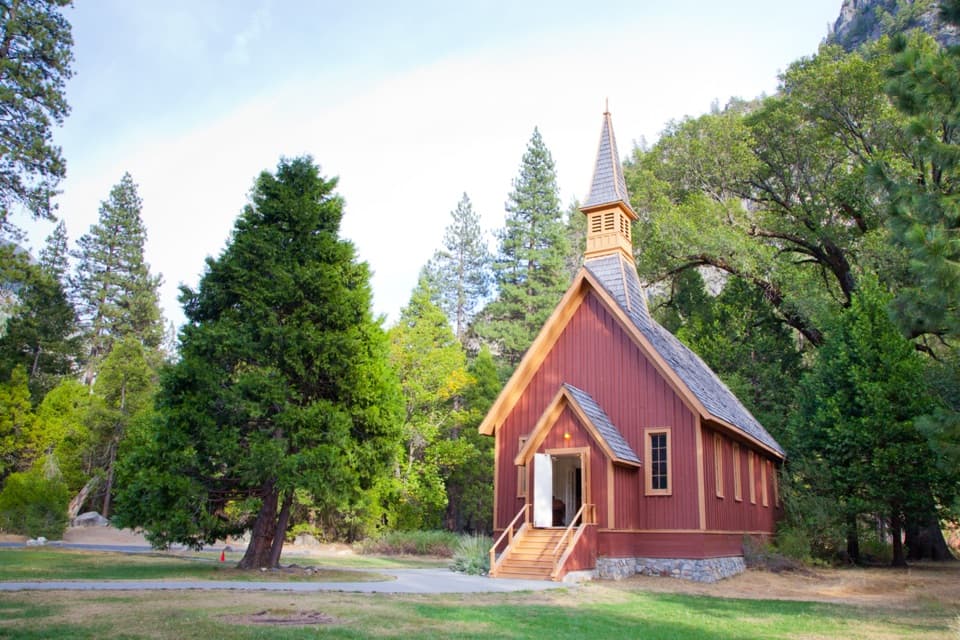 Sight · 0.4 mi awayYosemite ChapelA quiet history stop with a meadow view of the falls.
 Sight · 0.4 mi awayYosemite CemeteryA small cemetery holds the people behind the valley’s early story.
 Campground · 0.4 mi awayCamp 4Shared tent sites steeped in the history of American climbing.
 Sight · 0.5 mi awayYosemite MuseumBaskets, Miwok-Paiute history, and a reconstructed village in one stop.
Parkwolf’s Yosemite ranking

The audio tour guide for the drive, plus offline maps, trails, and wildlife heatmaps for when the signal drops.




