Overview
About Sandfly Bay
Why stop
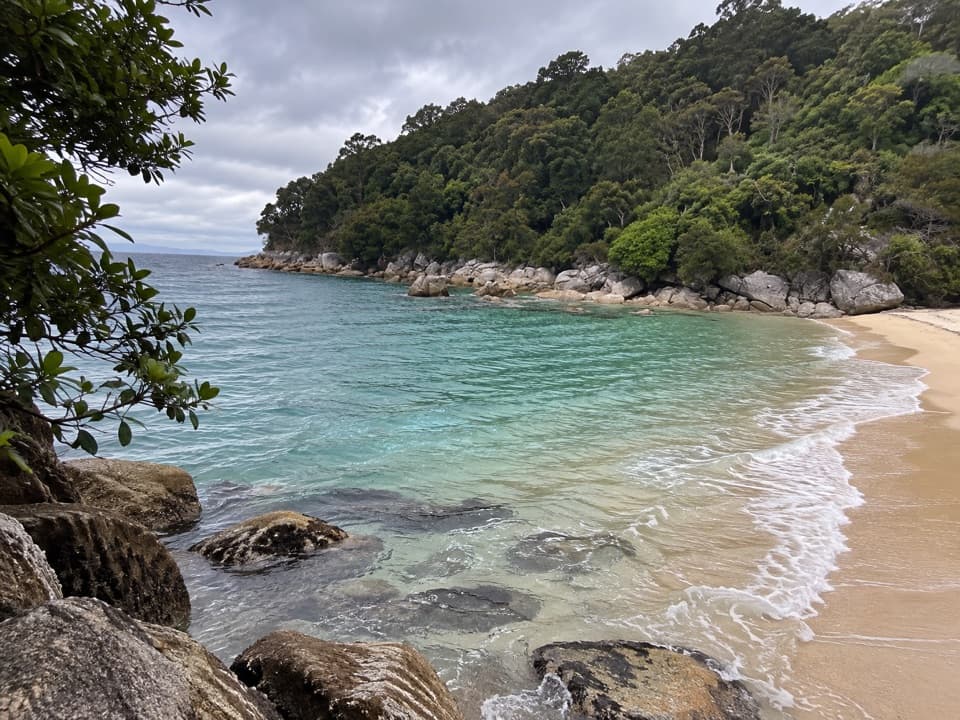
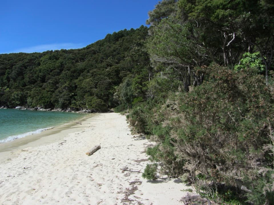
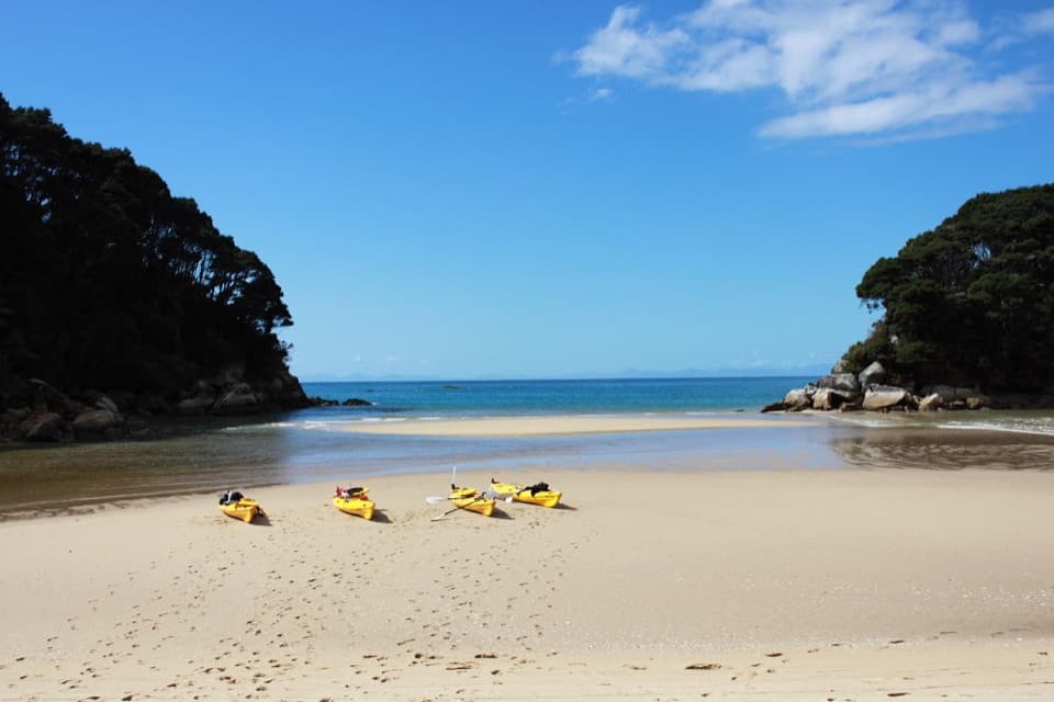
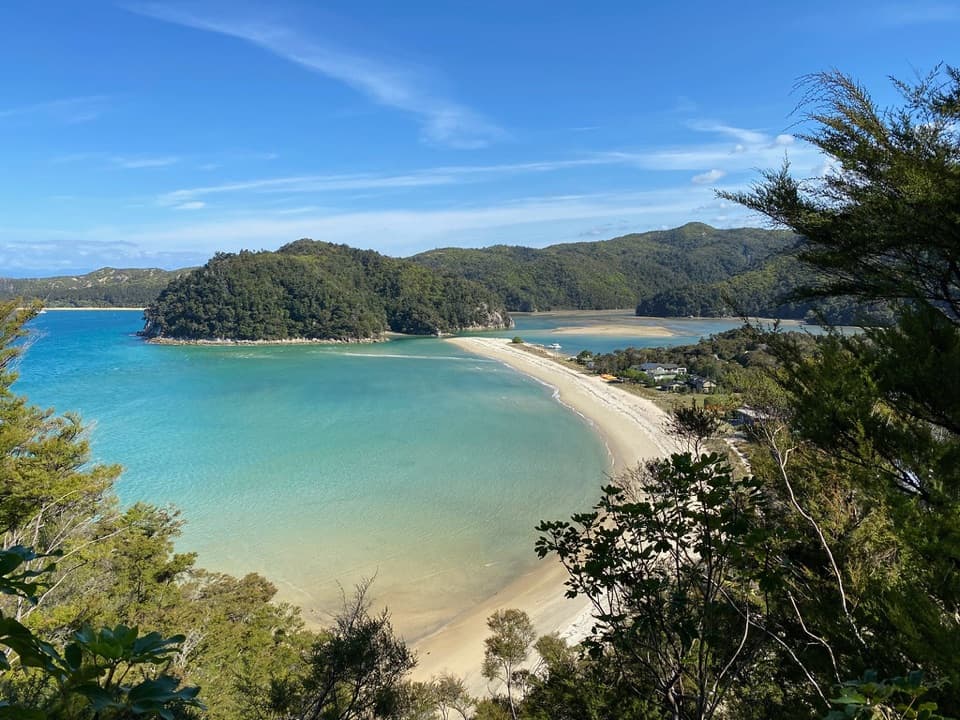
- A changing tidal inlet with sandspits, shallow lagoons and forested shore.
Heads up
- The side track finishes with rock-hopping down to the beach.
Map
Where it is

The highest, rockiest slopes around here are a summer buffet for grizzly bears.
Abel Tasman Tour Guide
Your drive to Sandfly Bay, narrated.
Parkwolf is a GPS audio tour guide for Abel Tasman National Park. As you drive, it chimes in with what’s ahead: hidden gems, upcoming stops, history, geology, and wildlife, right through your car’s speakers.
More stories near here in the app
- Mārahau and Te Waharoa
- 23 audio storiesacross Abel Tasman’s roads, triggered by GPS as you drive
- Wildlife heatmapsfor Kea, New Zealand Fur Seal, Little Penguin, and 13 more
- Works offlinemaps, 43 trails, 65 places, and audio download before you lose signal
- CarPlay readysimple controls built for the drive
“Fantastic app with many points of information… It’s great to just turn on while you’re driving and it gives you an audio tour of the national Park. We love it!!!!”


Guide
More about Sandfly Bay
A beach and tidal inletSandfly Bay is a named beach at the mouth of Falls River on Abel Tasman’s Coast Track, between…
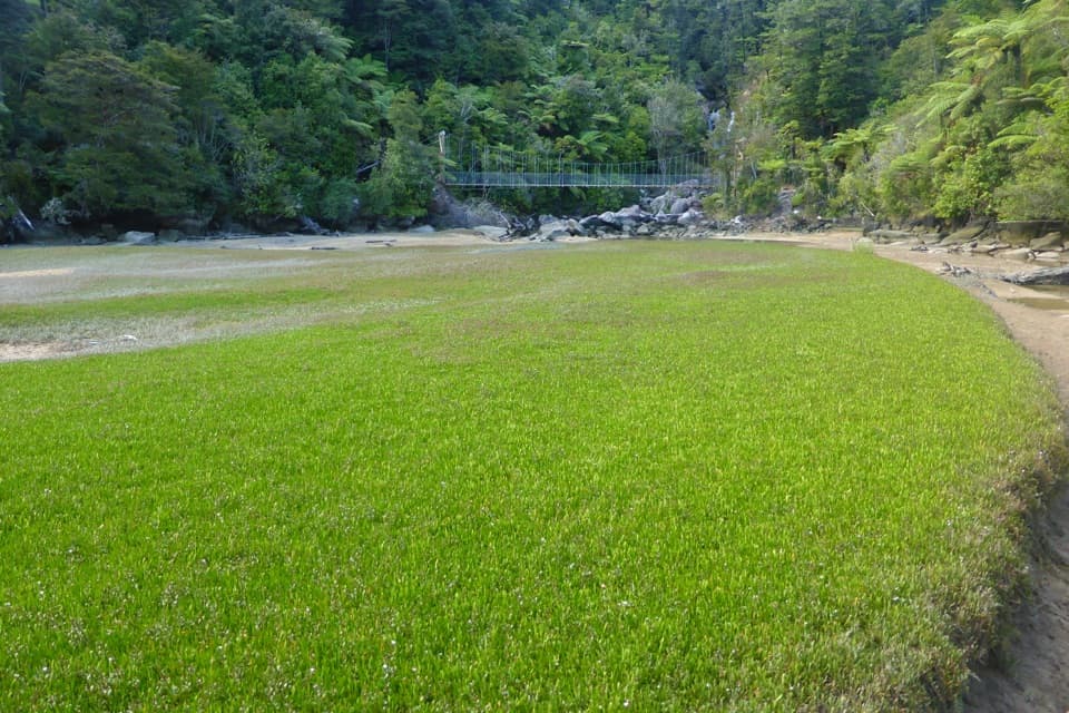
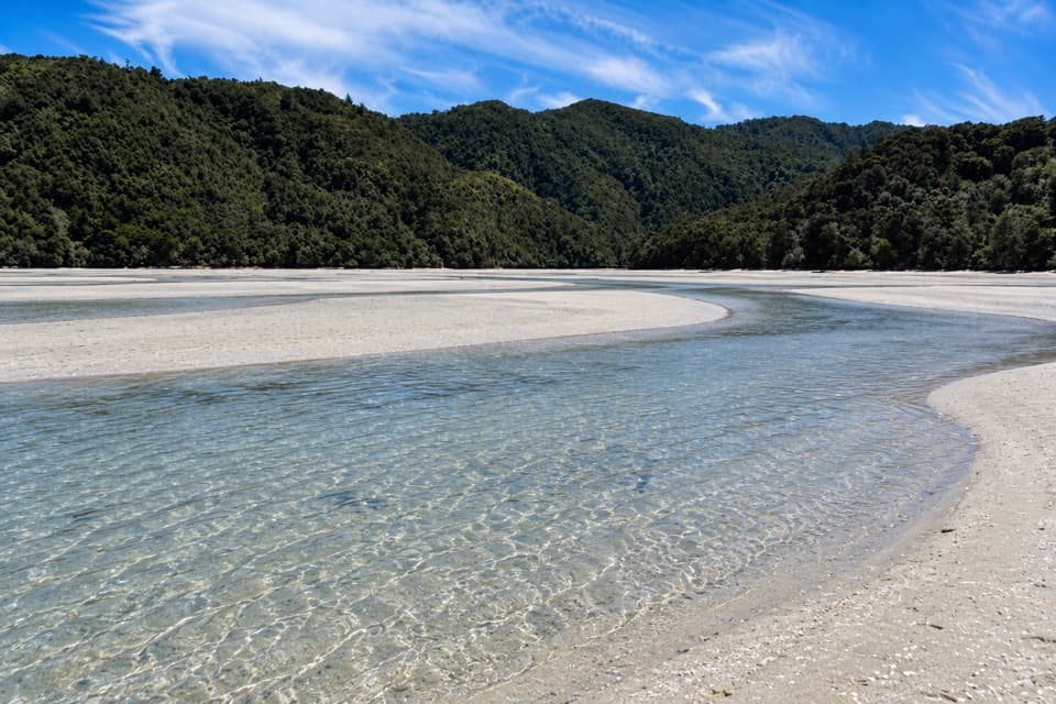
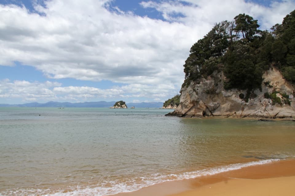
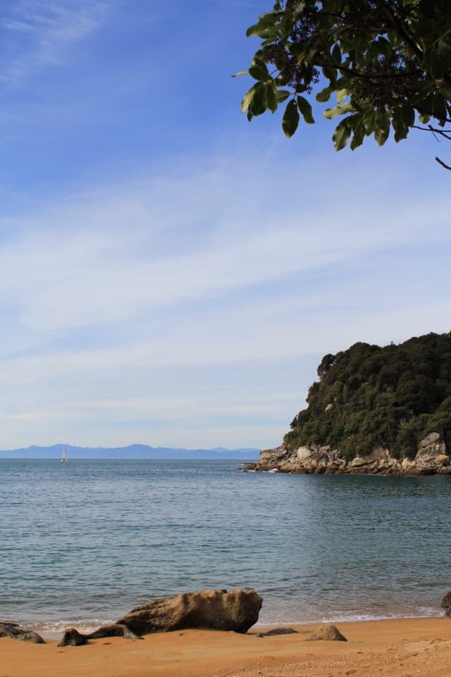
Sandfly Bay is a named beach at the mouth of Falls River on Abel Tasman’s Coast Track, between Torrent Bay and Bark Bay. Come for the shifting river mouth and sheltered shallows, where golden sand splits into little lagoons below a forested shore. If you’re already walking this stretch, the side trip gives you a close look at an estuary rather than another open beach.
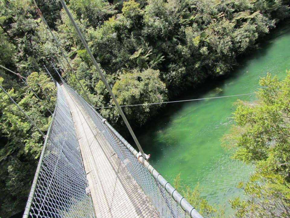
Getting to the shoreThe path branches off shortly after the 47 m Falls River swing bridge on the Coast Track.
The path branches off shortly after the 47 m Falls River swing bridge on the Coast Track. The side track is short, but the last descent uses rock-hopping, so this isn’t a level beach stroll. It’s a track-side detour, not a roadside stop. The full Coast Track is a 3–5 day one-way tramp; water taxis and kayaks connect locations along the wider route, but confirm with operators before planning a landing at this particular beach.
A shoreline in motionTides and storms move the Falls River opening along the beach, reshaping the sandspits and…
Tides and storms move the Falls River opening along the beach, reshaping the sandspits and shallow lagoons between visits. The inlet is especially striking at full tide, when more water fills its channels. For a photo, shoot across the lagoon toward the river entrance and keep a curve of sand in the foreground; that shows the winding edge of the water and the split between the inlet and Tasman Sea.
Granite and tidal marshSeparation Point Granite forms the park’s coastal bedrock and influences the colours of its…
Separation Point Granite forms the park’s coastal bedrock and influences the colours of its beaches and stream beds. Across the park’s upper-tide marshes, rushes, glasswort and sea primrose catch moving sand; over time, that can build ground at the estuary edge and help shift some marsh habitat toward land. It’s a slow process, but it fits the view: water and sand are always redrawing this shore.
Wildlife
Wildlife in Abel Tasman
 10 sightingsKeaMost seen around 10 AMSighting map
 54 sightingsNew Zealand Fur SealMost seen around 10 AMSighting map
 20 sightingsLittle PenguinMost seen around 9 PMSighting map
 21 sightingsSouth Island KākāMost seen around 5 PMSighting map
 526 sightingsWekaMost seen around 9 AMSighting map
 16 sightingsTūīMost seen around 7 AMSighting map
Sighting maps show where each species has been reported across Abel Tasman. Wildlife moves, so no sighting is guaranteed.