Overview
About Falls River Suspension Bridge
Why stop
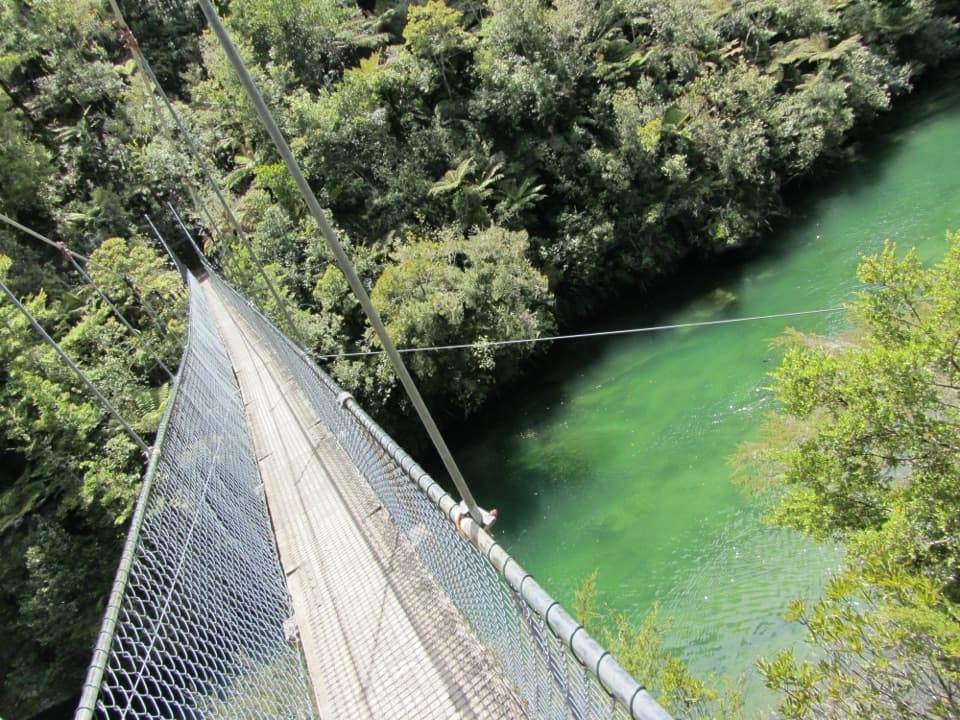
- A springy 47 m crossing gives you a close view along the river inlet.
Heads up
- It takes a substantial Coast Track walk or a water-taxi-and-walk outing.
Map
Where it is

The highest, rockiest slopes around here are a summer buffet for grizzly bears.
Abel Tasman Tour Guide
Your drive to Falls River Suspension Bridge, narrated.
Parkwolf is a GPS audio tour guide for Abel Tasman National Park. As you drive, it chimes in with what’s ahead: hidden gems, upcoming stops, history, geology, and wildlife, right through your car’s speakers.
More stories near here in the app
- Mārahau and Te Waharoa
- Abel Tasman Centre
- 23 audio storiesacross Abel Tasman’s roads, triggered by GPS as you drive
- Wildlife heatmapsfor Kea, New Zealand Fur Seal, Little Penguin, and 13 more
- Works offlinemaps, 43 trails, 65 places, and audio download before you lose signal
- CarPlay readysimple controls built for the drive
“Fantastic app with many points of information… It’s great to just turn on while you’re driving and it gives you an audio tour of the national Park. We love it!!!!”


Guide
More about Falls River Suspension Bridge
Cross the inletFalls River Suspension Bridge is a 47 m pedestrian suspension bridge on the Abel Tasman Coast…
Falls River Suspension Bridge is a 47 m pedestrian suspension bridge on the Abel Tasman Coast Track, between Torrent Bay and Bark Bay. It hangs over the inlet channel, and several walkers describe a gentle bounce underfoot as you cross. This is one of the track’s distinctive landmarks, but it isn’t a roadside stop.
Plan the routeThe section from Anchorage to Bark Bay is 8.
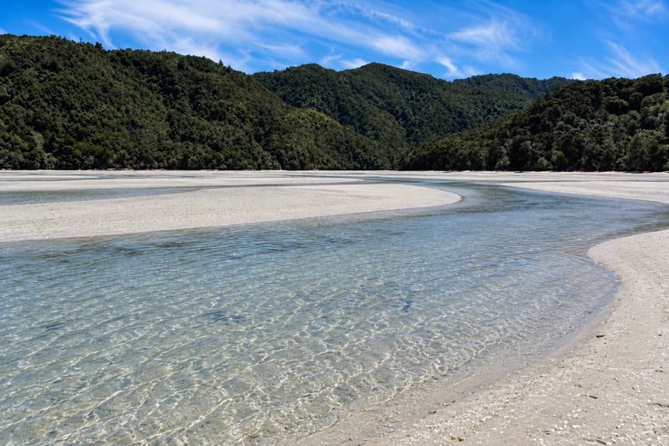
The section from Anchorage to Bark Bay is 8.4 km and around three hours by the low-tide route, or 11.5 km and four hours by the high-tide track. The bridge lies along it, so those are full-leg figures, not a short walk to the span. The Torrent Bay estuary low-tide crossing is available within two hours either side of low tide; the all-tide track goes around it. A water taxi to Torrent Bay paired with a walk to Bark Bay is another way to reach the bridge. Dogs aren’t allowed on the Coast Track.
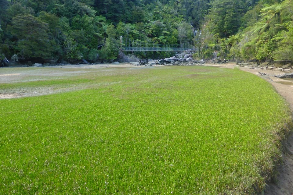
Look down the channelFrom the span, look along Falls River’s green inlet; the elevated angle makes the channel and…
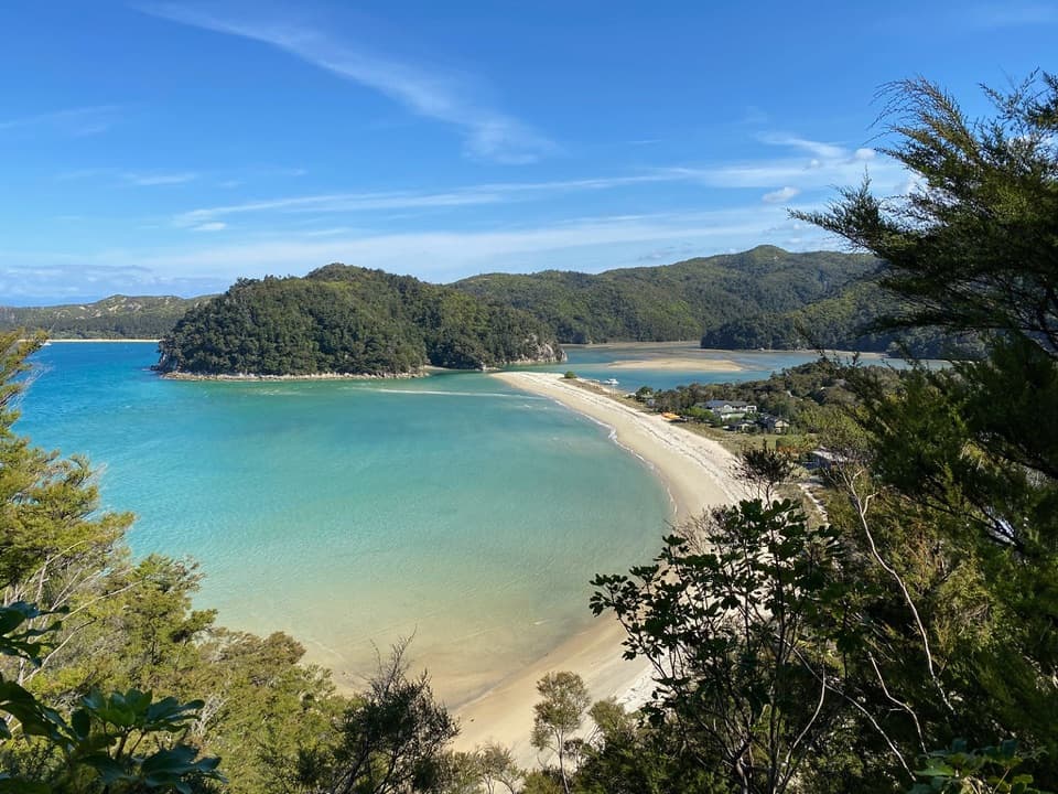
From the span, look along Falls River’s green inlet; the elevated angle makes the channel and forested banks stand out. For a photo, face down the waterway from the deck. Kayaks or a water taxi sometimes pass below, but don’t count on having one for scale.
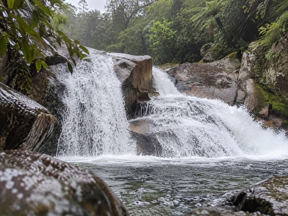
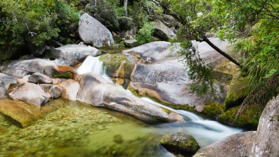
Follow the riverFalls River rises in the Pikikirunga Range near Mount Evans, then drops more than 1,000 m in 10…
Falls River rises in the Pikikirunga Range near Mount Evans, then drops more than 1,000 m in 10 km on its way to Tasman Bay at Sandfly Bay. From the bridge, you’re seeing the river as a tidal inlet, far downstream from those upper reaches.
Wildlife
Wildlife in Abel Tasman
 10 sightingsKeaMost seen around 10 AMSighting map
 54 sightingsNew Zealand Fur SealMost seen around 10 AMSighting map
 20 sightingsLittle PenguinMost seen around 9 PMSighting map
 21 sightingsSouth Island KākāMost seen around 5 PMSighting map
 526 sightingsWekaMost seen around 9 AMSighting map
 16 sightingsTūīMost seen around 7 AMSighting map
Sighting maps show where each species has been reported across Abel Tasman. Wildlife moves, so no sighting is guaranteed.