1 active Abel Tasman alert
- ClosureRoad resealing closures near Kaiteriteri, 29–30 OctoberExpect rolling closures on roads near Kaiteriteri from 6am to 8pm on Thursday 29 and Friday 30 October while crews reseal the roads.Official details
Campground · Abel Tasman National Park
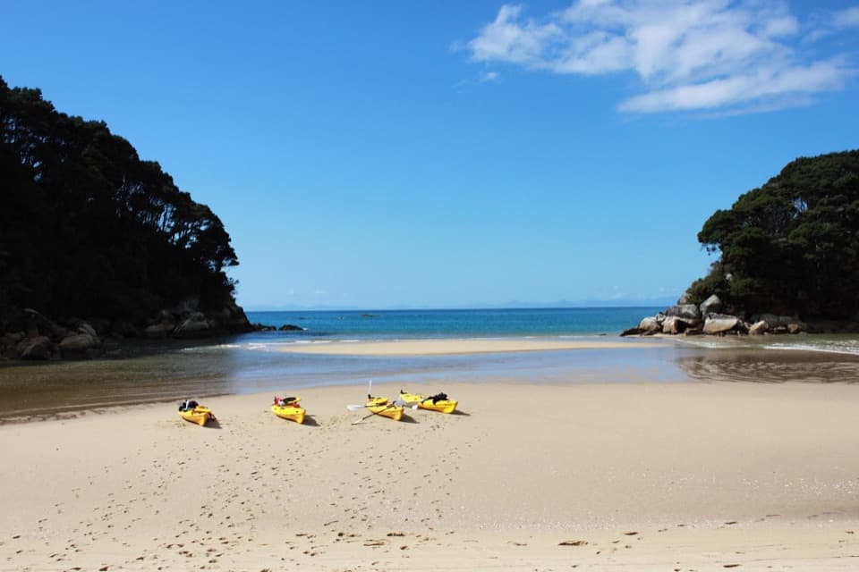
Winter sun, a rocky islet, and a boat-only beach camp.
Overview
Map
Plan your stop

The highest, rockiest slopes around here are a summer buffet for grizzly bears.
Abel Tasman Tour Guide
Parkwolf is a GPS audio tour guide for Abel Tasman National Park. As you drive, it chimes in with what’s ahead: hidden gems, upcoming stops, history, geology, and wildlife, right through your car’s speakers.
“Fantastic app with many points of information… It’s great to just turn on while you’re driving and it gives you an audio tour of the national Park. We love it!!!!”


Guide
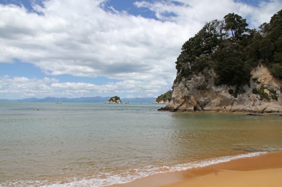
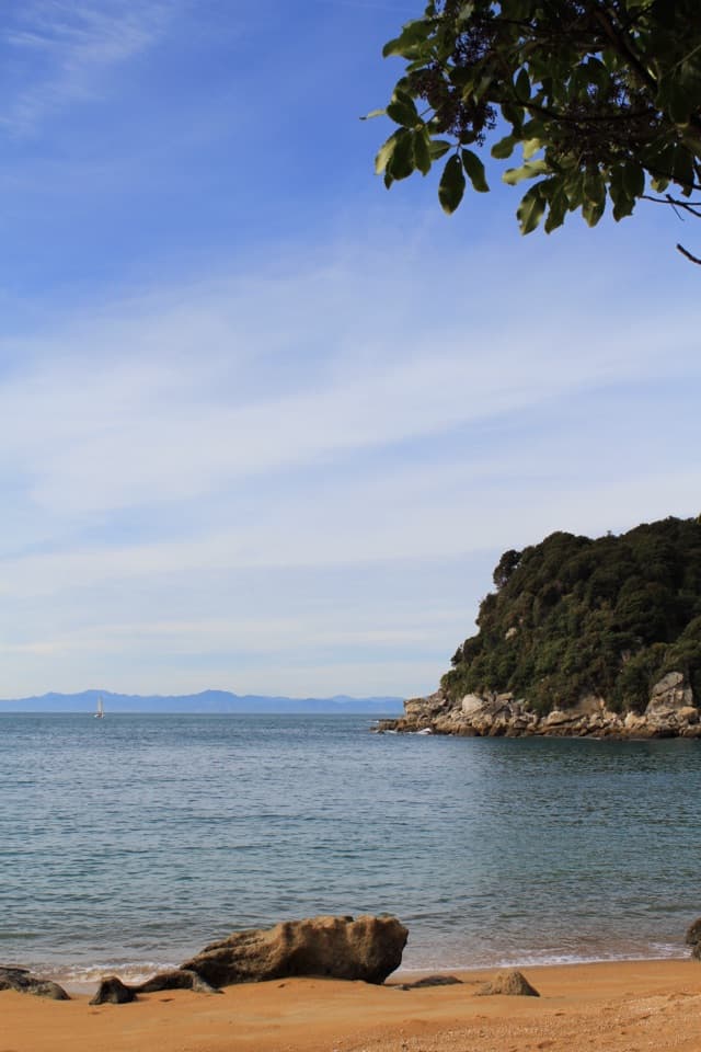
This is a small tent campsite beside a beach in a shallow bay, with a rocky, bush-covered islet just offshore. It makes a good overnight if you have your own boat or kayak; there’s no Coast Track access and no water-taxi stop. Book a site only after arranging your own access.
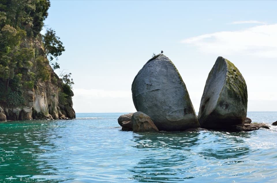
At high tide, the rocky islet becomes separated from shore and water reaches behind the tent sites. The shoreline changes as the tide comes in and out. Frame the islet with some sand and water for a photo that shows what makes this campsite distinctive.
There are 20 non-powered tent sites and a basic pit toilet, and the bay gets good winter sun. Potable water and a cooking shelter weren’t confirmed, so check those before you go and bring what you need. Dogs aren’t allowed.
Wildlife
 10 sightingsKeaMost seen around 10 AMSighting map
 54 sightingsNew Zealand Fur SealMost seen around 10 AMSighting map
 20 sightingsLittle PenguinMost seen around 9 PMSighting map
 21 sightingsSouth Island KākāMost seen around 5 PMSighting map
 527 sightingsWekaMost seen around 9 AMSighting map
 16 sightingsTūīMost seen around 7 AMSighting map
Sighting maps show where each species has been reported across Abel Tasman. Wildlife moves, so no sighting is guaranteed.
Keep exploring
 ModerateBark Bay to Onetahuti6.1 km · 2 hr · 0.8 km awayA quarry relic, forested ridges, and a long crescent beachModerateBark Bay to Awaroa13.5 km · 4.5 hr · 1 km awayA coastal one-way Great Walk through quarry, beach and forest.
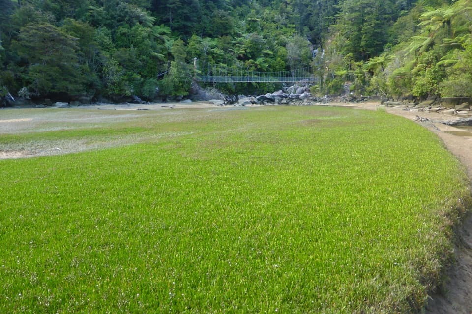 EasyBark Bay Waterfall Trail4 km · 1 hr · 1.1 km awayA short forest walk to a waterfall and a suspension bridge.
 ModerateOnetahuti Bay to Awaroa Hut7.1 km · 2.5 hr · 3.4 km awayA wetland boardwalk leads to a ridge above Onetahuti Bay.
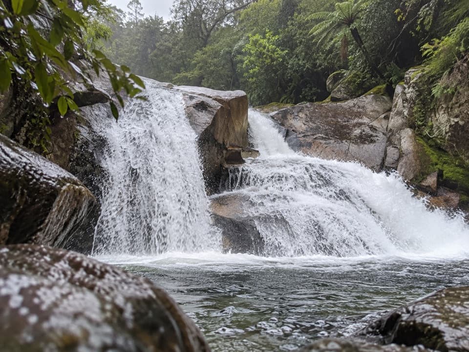 ModerateCascade Falls Track2.6 km · 1 hr · 4.1 km awayA steep forest spur to a waterfall hidden off the Coast Track.
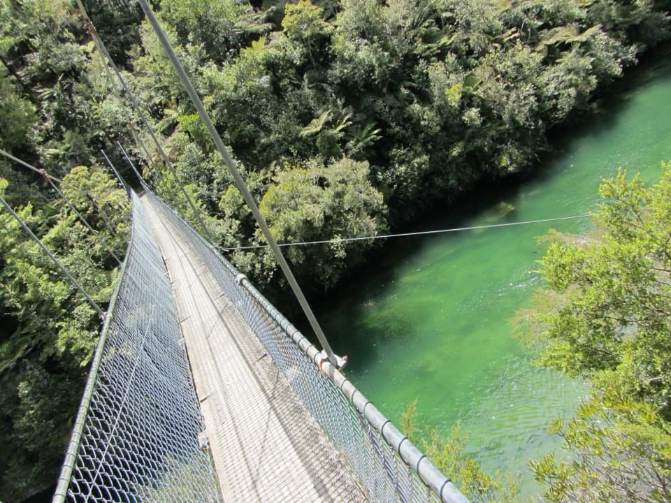 ModerateTorrent Bay to Bark Bay7.8 km · 2.5 hr · 4.1 km awayA ridge, a 47-metre swingbridge and a beach reshaped by tides.
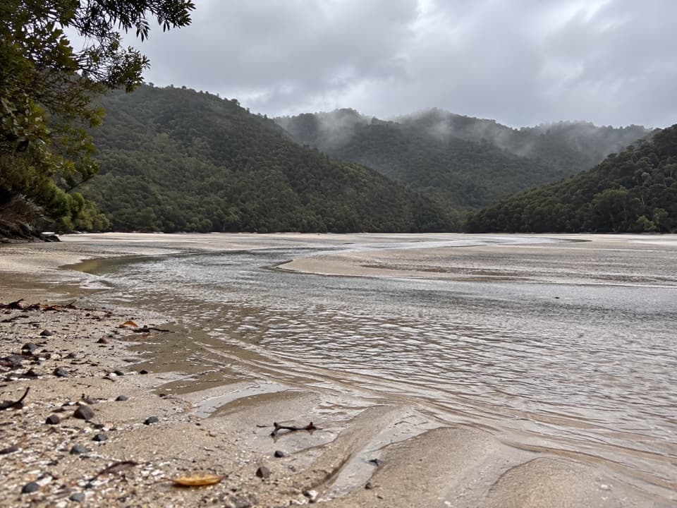 ModerateFalls River Track7 km · 3 hr · 4.2 km awayA steep climb to blue pools beyond the Cascade Falls spur.
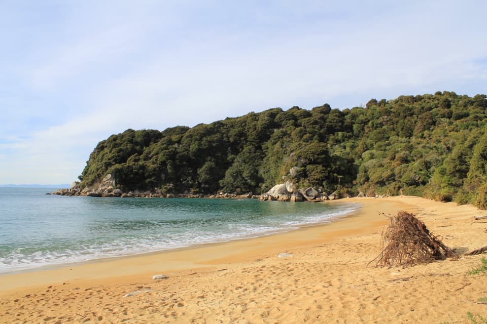 ModerateAnchorage to Bark Bay11.5 km · 4 hr · 5 km awayCoastal ridgelines, a 47-metre bridge, and a low-tide shortcut.
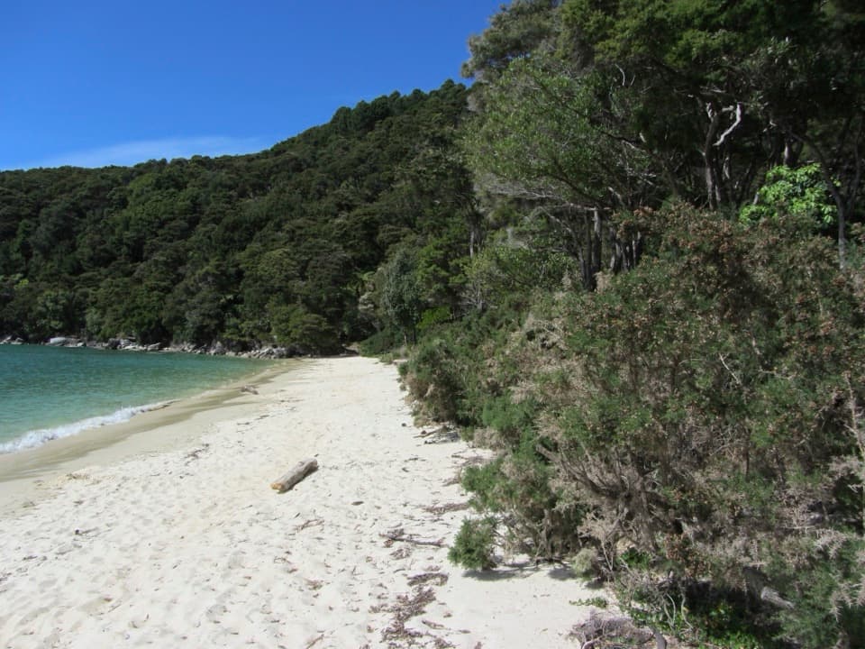 Beach · 0.9 km awayBark BayA golden beach between the open coast and a tidal estuary.
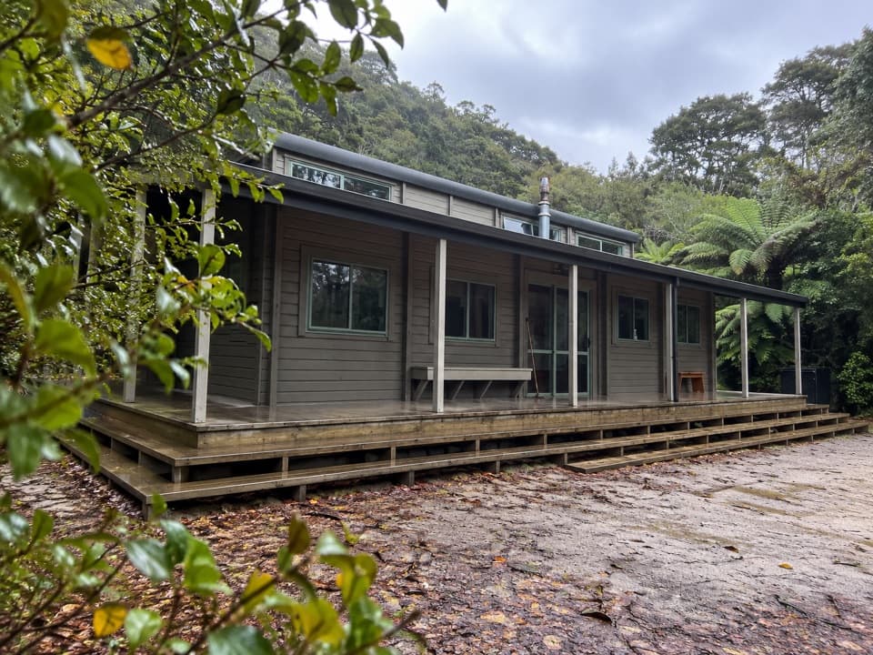 Lodging · 1 km awayBark Bay HutA 34-bunk overnight stop near Bark Bay’s beach and estuary.
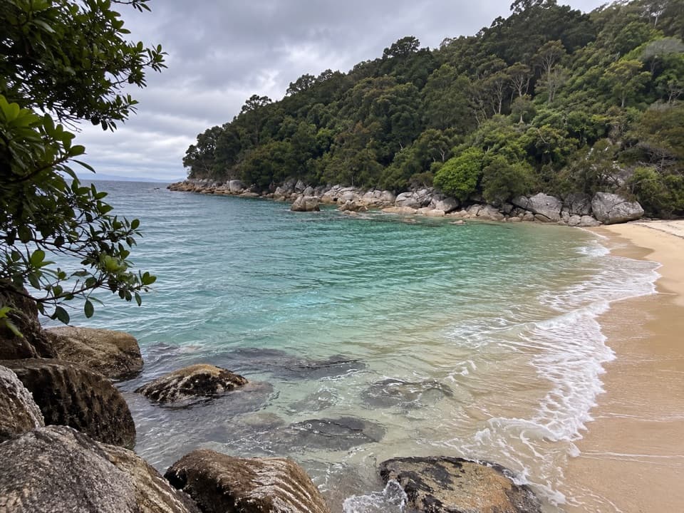 Beach · 1.1 km awayMedlands BeachA small beach break along the Coast Track, with water-taxi access.
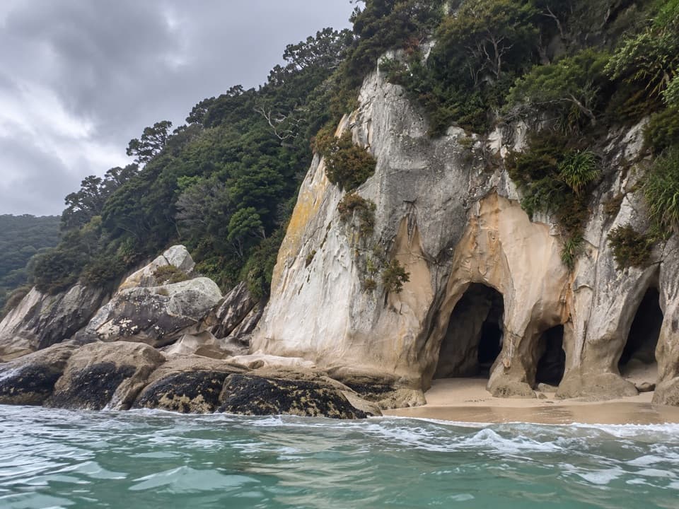 Sight · 1.6 km awayTonga ArchesPaddle through the granite arch when tide and sea allow.
 Beach · 1.6 km awaySandfly BayA tidal lagoon tucked behind shifting golden sandspits.
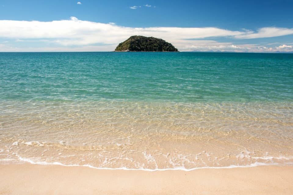 Sight · 2 km awayTonga QuarryA beach break with a granite story that reached Wellington.Sight · 2.1 km awayFalls River Suspension BridgeA springy crossing gives you a look down the Falls River inlet.
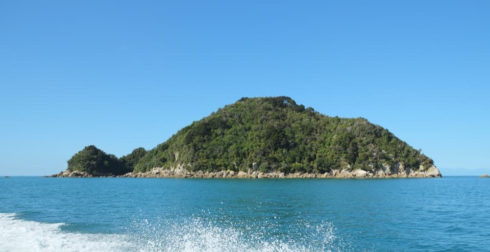 Sight · 2.4 km awayTonga IslandLook for fur seals beside a protected offshore island.
Parkwolf’s Abel Tasman ranking

The audio tour guide for the drive, plus offline maps, trails, and wildlife heatmaps for when the signal drops.