Parking
Start at the Tōtaranui camp office and follow the avenue to the Coast Track. Day-walker parking details were not found in the sources checked.
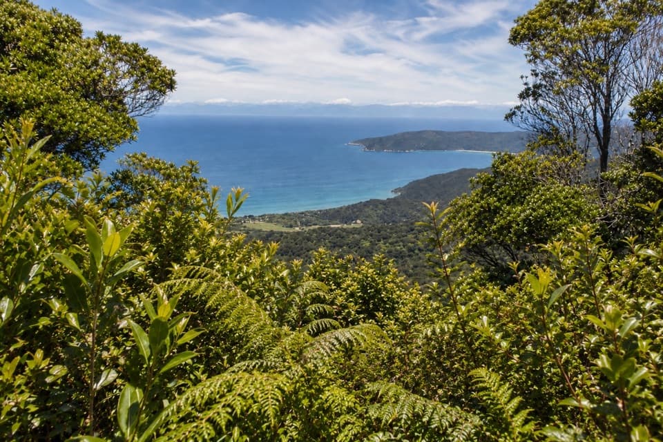
Abel Tasman National Park, TA
Steep climb from Tōtaranui to a clear-day bay panorama.
Overview
Gibbs Hill Track from Tōtaranui is a roughly 9 km out-and-back to a 405 m summit. The route starts at the camp office, follows the Coast Track north, then leaves the shore for a long climb. Allow about 3½ to 4 hours. It’s a good choice if you want a proper hill walk and a broad view above the coast; it’s a lot of effort for a beach day.
 Parkwolf’s verdictIs this the climb for you?
Map & elevation
Plan your hike

The highest, rockiest slopes around here are a summer buffet for grizzly bears.
Abel Tasman Tour Guide
Parkwolf is a GPS audio tour guide for Abel Tasman National Park. As you drive, it chimes in with what’s ahead: hidden gems, upcoming stops, history, geology, and wildlife, right through your car’s speakers.
Recorded for this trailhead
Tōtaranui Beach and Campground“You're coming up on Tōtaranui Beach and Campground, where the long golden beach is just across the road from the main camp.”
Plays as you drive up to this trailhead in the Parkwolf Abel Tasman Tour Guide.
More stories near here in the app
“Fantastic app with many points of information… It’s great to just turn on while you’re driving and it gives you an audio tour of the national Park. We love it!!!!”


Trail guide
From the camp office, take the avenue past Ngarata Homestead and follow the Coast Track toward Anapai Bay. About 1.4 km in, just past a concrete bridge, turn left onto Gibbs Hill Track. Cross a ford, then climb for about 3 km, with steep sections. At the ridge intersection, turn right for the short, narrow spur to the summit. Return the same way; this is an out-and-back, not the longer Wainui circuit.
This is an advanced tramping track, with a ford and a sustained climb of roughly 400 m. The tread can be slippery when wet. Filtered water is available at Tōtaranui, but no drinking-water source is identified on the hill route, so refill before leaving. Dogs aren’t allowed. From May through September, the shared inland section is also open to mountain bikes; groups are limited to eight.
The summit is 405 m above sea level. On a clear day, look across Golden Bay toward Farewell Spit, then back toward Tōtaranui. The bush around the viewpoint makes a useful foreground for the bay and the forested ridges below.
The hill recalls William Gibbs, who acquired land between Tōtaranui and Wainui and held grazing rights toward Awaroa. The historical account records that he drove cattle across these hills to stock his farm. It’s a good reason to think of this ridge as working land as well as a viewpoint.
The approach passes the old homestead grounds and their avenue. Hannah Gibbs and Jimmy Perrot planted alternating plane and macrocarpa trees there in 1856, so the first stretch has a bit of history before the steep part begins.
Wildlife
 10 sightingsKeaMost seen around 10 AMSighting map
 54 sightingsNew Zealand Fur SealMost seen around 10 AMSighting map
 20 sightingsLittle PenguinMost seen around 9 PMSighting map
 21 sightingsSouth Island KākāMost seen around 5 PMSighting map
 526 sightingsWekaMost seen around 9 AMSighting map
 16 sightingsTūīMost seen around 7 AMSighting map
Sighting maps show where each species has been reported across Abel Tasman. Wildlife moves, so no sighting is guaranteed.
Keep exploring
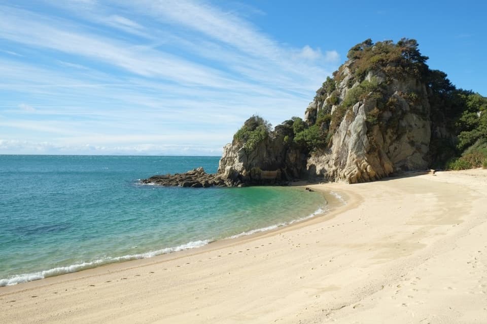 ModerateTōtaranui to Separation Point14.4 km · 4.5 hr · At the trailheadGolden beaches, nikau gullies, and a headland between two bays.
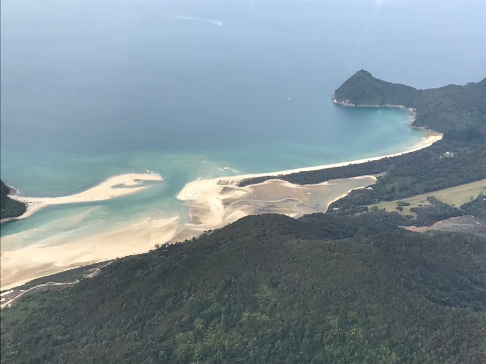 ModerateTōtaranui to Awaroa Bay9 km · 3 hr · At the trailheadA low-tide crossing turns this coast walk into a proper outing.
 ModerateTōtaranui to Anapai Bay6.4 km · 2.5 hr · At the trailheadA low saddle leads to Anapai’s divided beach and granite stacks.
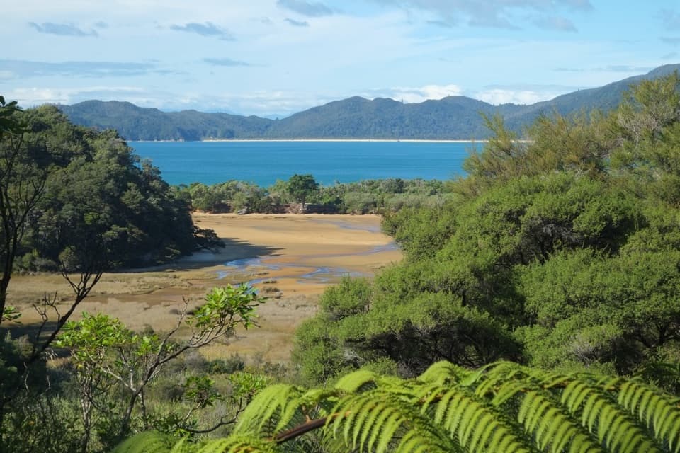 ChallengingGibbs Hill to Whariwharangi Bay Loop Track18.3 km · 5.5 hr · At the trailheadA steep ridge and a restored homestead reward the coastal loop.ModerateTōtaranui to Whariwharangi Bay9.8 km · 3.3 hr · At the trailheadBeach coves and kānuka headlands lead to a restored homestead.
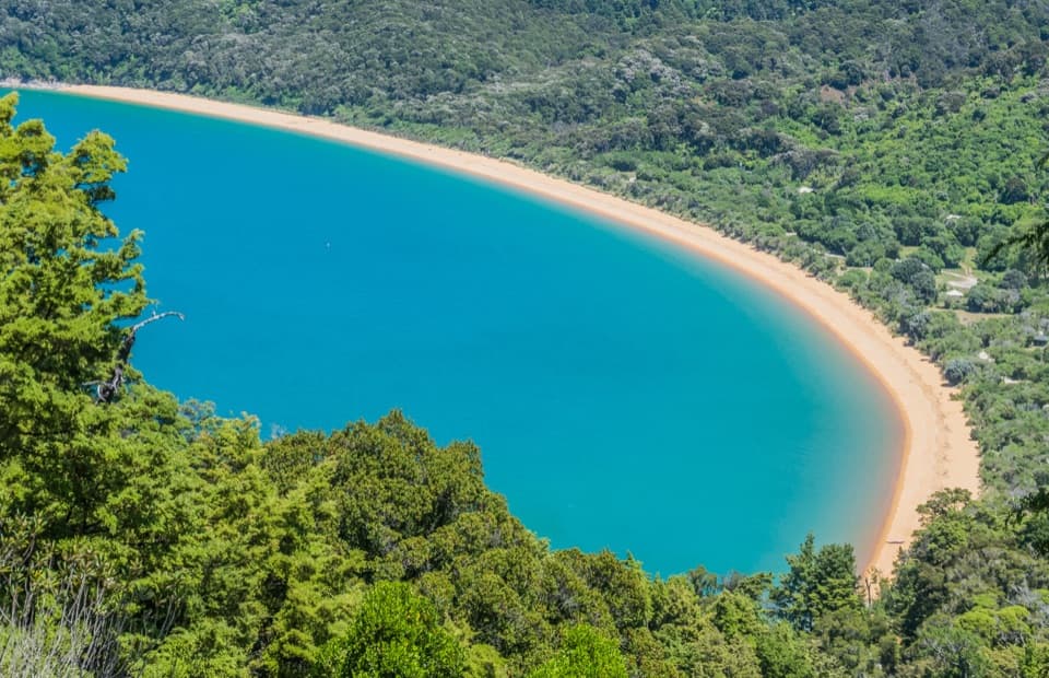 ModerateHeadlands Track3.8 km · 1.3 hr · 0.5 km awayA wooded headland walk with a pocket view of Tōtaranui and Awaroa.
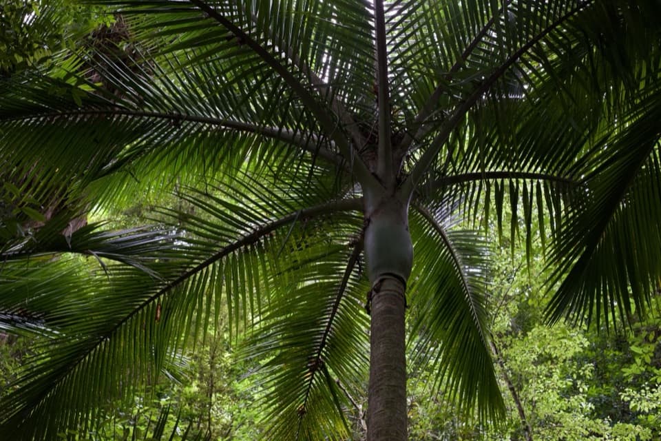 EasyPukatea Walk0.8 km · 30 min · 0.8 km awayA curving raupō boardwalk leads into pukatea and nīkau forest
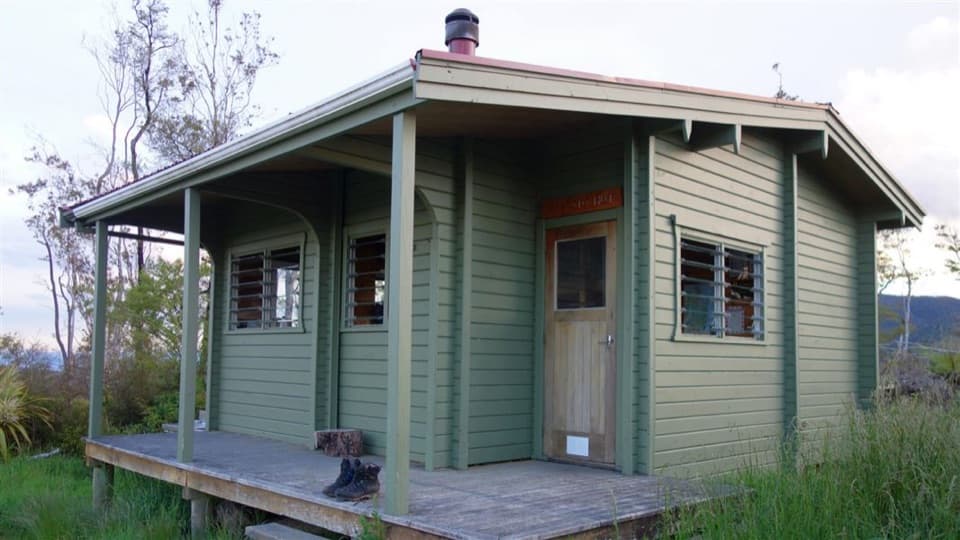 ChallengingPigeon Saddle to Awapoto Hut10 km · 6 hr · 3.2 km awayA steep forest climb to a hut above Awaroa Inlet.
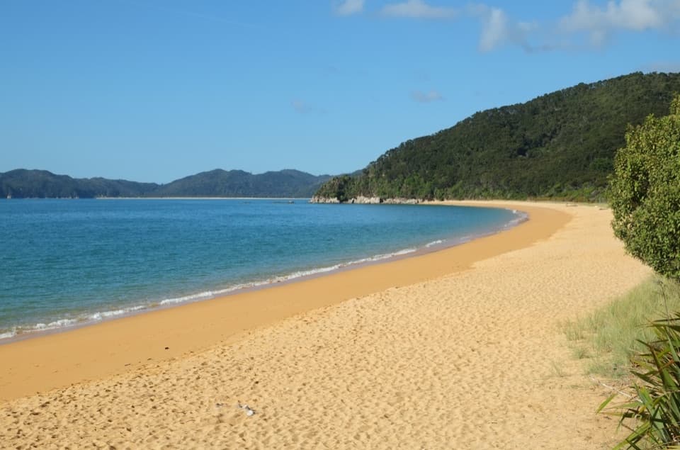 Campground · At the trailheadTōtaranui Beach and CampgroundA big campground by the beach, beyond a long gravel approach.
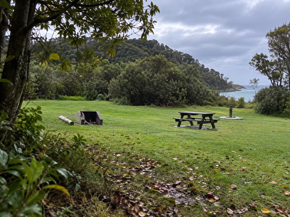 Campground · 0.2 km awayTōtaranui Great Walk CampsiteTwenty tent sites put you beside the beach on the Coast Track.
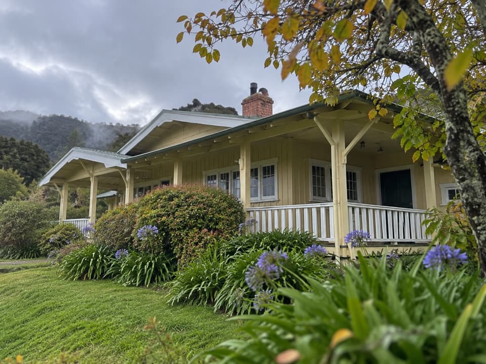 Lodging · 0.5 km awayNgarata HomesteadA 1914 homestead group stay for exploring Tōtaranui
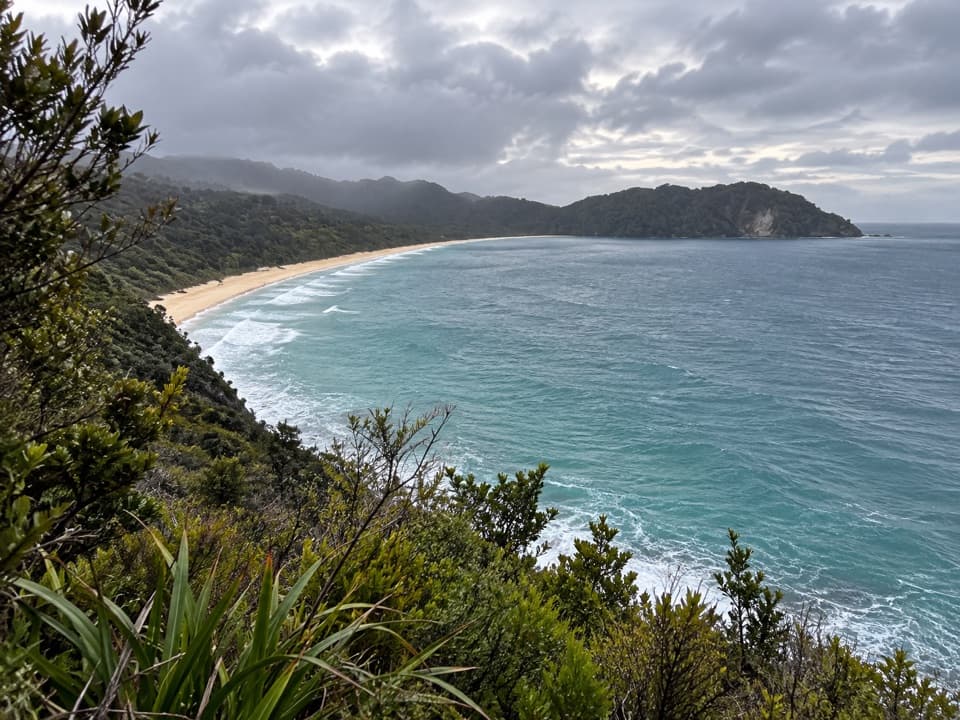 Sight · 1.1 km awaySkinner Point LookoutA high view takes in both Tōtaranui Beach and Goat Bay.
 Beach · 1.7 km awayGoat BayA beach stop on the tide-sensitive northern Coast Track.Beach · 2.2 km awayAnapai BayA northern beach with golden sand, stacked rocks and six tent sites.
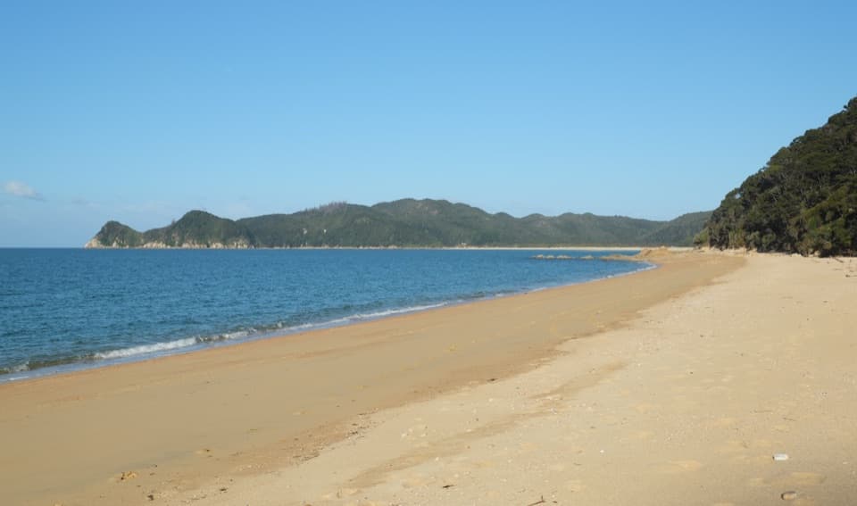 Campground · 3.1 km awayWaiharakeke BayA bush-fringed campsite a short walk from a sandy bay.
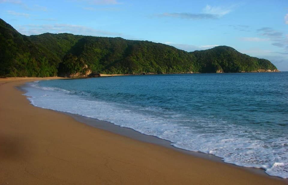 Campground · 3.6 km awayMutton CoveA quiet beachside campsite at Abel Tasman's remote northern end.
Parkwolf’s Abel Tasman ranking
The audio tour guide for the drive, plus offline maps, trails, and wildlife heatmaps for when the signal drops.




