Tōtaranui to Awaroa Bay in Abel Tasman National Park

Abel Tasman National Park, TA

Tōtaranui to Awaroa Bay

A low-tide crossing turns this coast walk into a proper outing.

Photo: Wikimedia Commons
Length
9km
Time
3hr
Elev. change
98m
Difficulty
Moderate
  • No dogs
  • High point 98 m
  • #12 of 43 in Abel Tasman

Hear the audio tour

Tōtaranui Beach and Campground

Overview

About Tōtaranui to Awaroa Bay

Why go

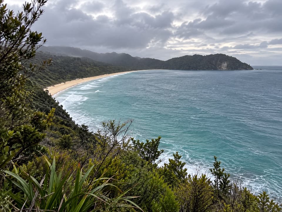
  • A lookout over Tōtaranui Beach and a tidal-flat finish at Awaroa Bay.
  • A booked water taxi can turn the point-to-point walk into a one-way day.

Heads up

  • The two tidal crossings tightly constrain the start and return time.
  • The final 12 km of road to the start is narrow and unsealed.

Map & elevation

The route

Loading the Abel Tasman map
Full map
Elevation0–98 m
TrailheadTōtaranui Campground / camp office-40.82246, 173.00425
Keep this map with you offline in the Parkwolf app

Plan your hike

Before you go

Parking

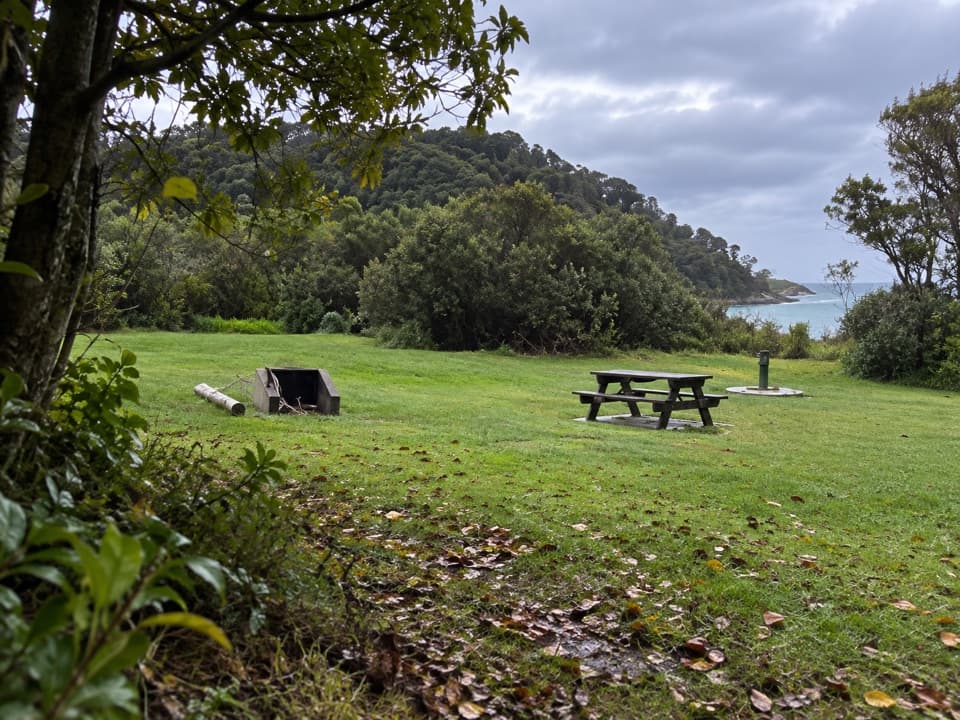
Park at Tōtaranui Campground and follow the Coast Track through the main campsite to the camp office. The last 12 km of access road is narrow, winding and unsealed; allow time for a slow drive. Toilets and filtered tap water are available at the campground.


Safety

Awaroa Inlet and Venture Creek can be crossed only from 90 minutes before to two hours after low tide, and the inlet is safe to cross only in daylight. Heavy rain can make it impassable; there is no all-tide route around it. Check the tide and weather before leaving, and allow time to recross both on foot if returning to Tōtaranui.

A park ranger sits on a dash-mounted phone, talking, as Parkwolf’s Tour Guide plays “Army Cutworm Moths: A Grizzly Bear Buffet” on Grand Loop Road below Dunraven Pass in Yellowstone
Parkwolf Tour GuideThe highest, rockiest slopes around here are a summer buffet for grizzly bears.

Abel Tasman Tour Guide

Your drive to Tōtaranui to Awaroa Bay, narrated.

Parkwolf is a GPS audio tour guide for Abel Tasman National Park. As you drive, it chimes in with what’s ahead: hidden gems, upcoming stops, history, geology, and wildlife, right through your car’s speakers.

Recorded for this trailhead

Tōtaranui Beach and Campground
0:00 / 0:33
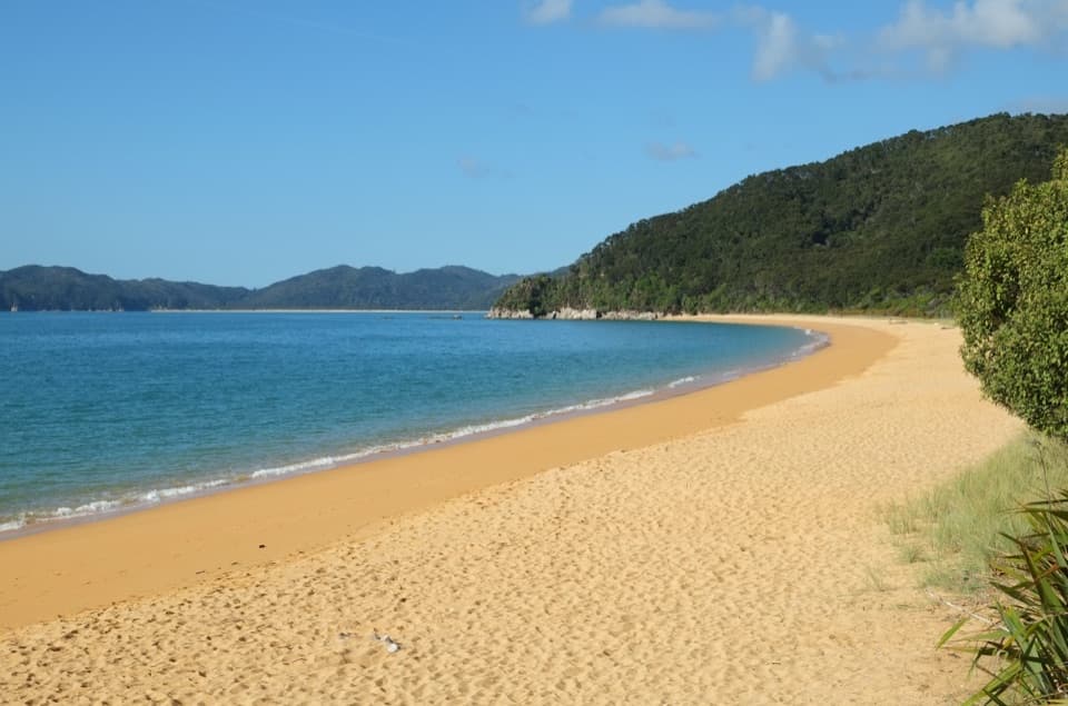
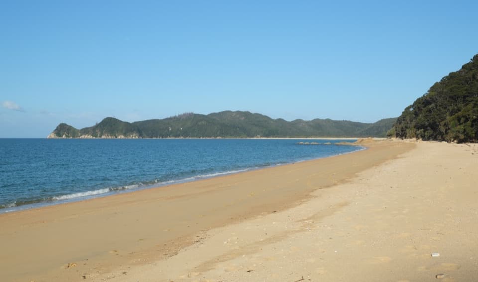
“You're coming up on Tōtaranui Beach and Campground, where the long golden beach is just across the road from the main camp.”

Plays as you drive up to this trailhead in the Parkwolf Abel Tasman Tour Guide.

More stories near here in the app

  • The Tide Sets the Walking Day
  • The Coughs in the Birdsong
  • A Fur Seal's Night Shift
  • Pigeon Saddle and Awapoto Hut
  • 23 audio storiesacross Abel Tasman’s roads, triggered by GPS as you drive
  • Wildlife heatmapsfor Kea, New Zealand Fur Seal, Little Penguin, and 13 more
  • Works offlinemaps, 43 trails, 65 places, and audio download before you lose signal
  • CarPlay readysimple controls built for the drive
★★★★★
“Fantastic app with many points of information… It’s great to just turn on while you’re driving and it gives you an audio tour of the national Park. We love it!!!!”
JMJamesApp Store review
Download Parkwolf on the App StoreGet Parkwolf on Google Play

4.7 from 8,600+ ratings

Trail guide

Hiking Tōtaranui to Awaroa Bay

A point-to-point coast walkTōtaranui to Awaroa Bay is a 5.

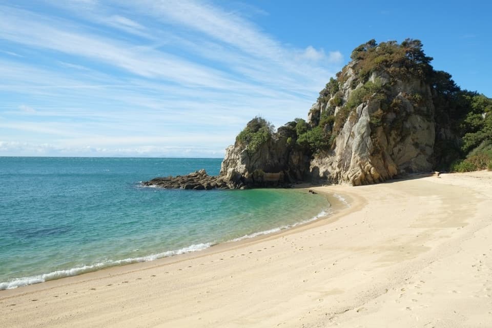
Tōtaranui to Awaroa Bay is a 5.6-mile one-way walk along the Coast Track, finishing at the beach after Awaroa Hut and Venture Creek. It combines a lookout over Tōtaranui Beach, small bays, a steep headland and the broad tidal flats at Awaroa. Allow about three hours on foot; a tide wait or a boat connection can add time. The distance here includes the final walk through the village to the beach.

From camp to the inletStart by the camp office and take the Coast Track south.

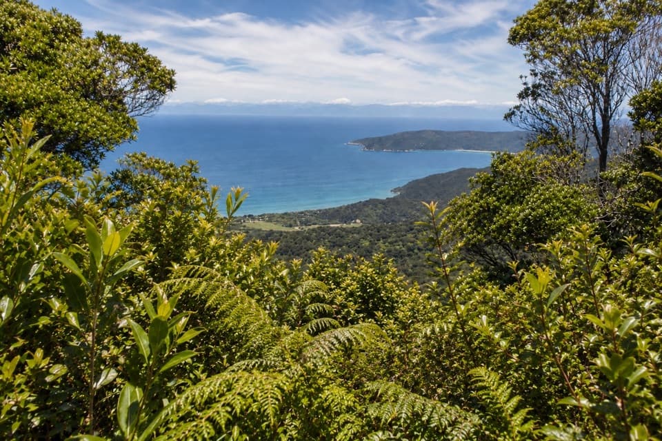
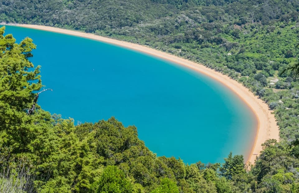
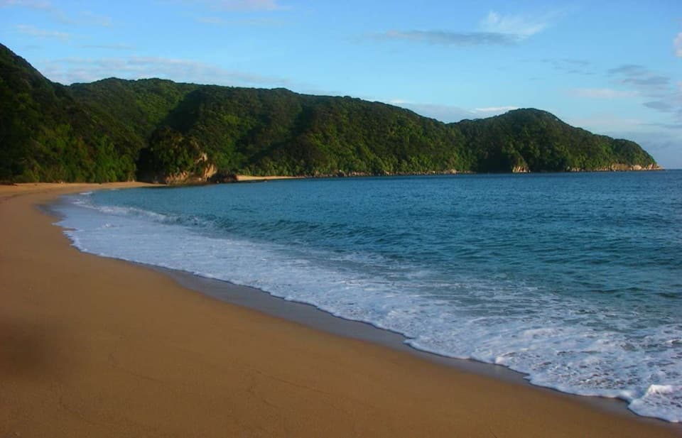
Start by the camp office and take the Coast Track south. Skinner Point is only a few minutes in, with a view back over Tōtaranui Beach and along the coast toward Awaroa. The route skirts an old landslide at Goat Bay and climbs steeply to a lookout above Skinner Point before dropping toward Waiharakeke Bay. Forest and open shoreline alternate as the track crosses the low saddle above the inlet.

Across Awaroa and on to the beachFrom Waiharakeke Bay, cross Awaroa Inlet to Awaroa Hut, then continue through the village to…

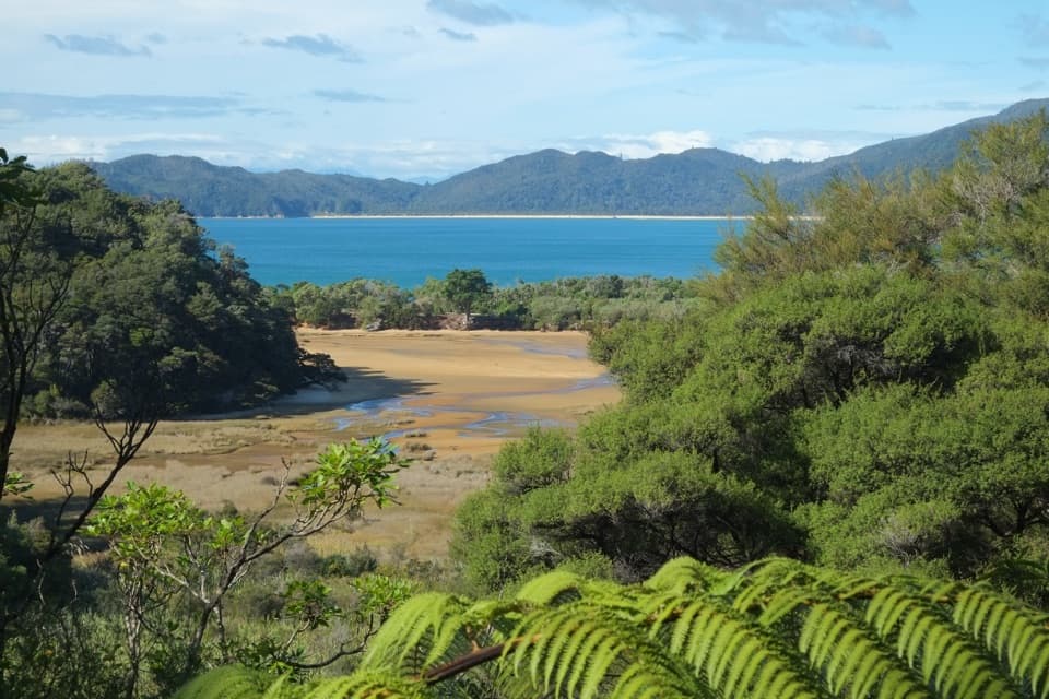
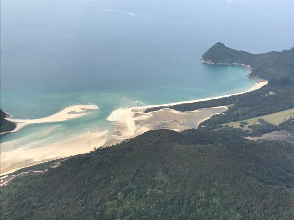
From Waiharakeke Bay, cross Awaroa Inlet to Awaroa Hut, then continue through the village to Venture Creek. After the creek crossing, follow the estuary edge to Awaroa Bay beach. Awaroa Beach became public national park land in 2016 after a public campaign to buy it. In summer, Awaroa Lodge has an outdoor eatery in the village; carry food if you are hiking outside that season.

Tide sets the scheduleBoth Awaroa Inlet and Venture Creek are crossable only from 90 minutes before to two hours…

Both Awaroa Inlet and Venture Creek are crossable only from 90 minutes before to two hours after low tide. Cross in daylight; heavy rain can leave the inlet impassable, and there is no all-tide track around it. Check the tide and weather before setting out. If you are walking back to Tōtaranui, leave enough time to cross both again. A water taxi from the southern end of Awaroa Bay can make this a one-way outing, but arrange it before you start.

Getting to the startUse the Tōtaranui Campground car park and walk through the main campsite to the camp office.

Use the Tōtaranui Campground car park and walk through the main campsite to the camp office. The last 12 km of access road is narrow, winding and unsealed, so allow extra driving time. Toilets and filtered tap water are available at the campground. Dogs are not allowed on this route.

Wildlife

Wildlife in Abel Tasman

All Abel Tasman wildlife maps

Sighting maps show where each species has been reported across Abel Tasman. Wildlife moves, so no sighting is guaranteed.

Keep exploring

Near Tōtaranui to Awaroa Bay

See it all on the map

Trails that start nearby

Places near the trailhead

Parkwolf’s Abel Tasman ranking

Top-rated trails in Abel Tasman

All 43 trails
  1. 1Abel Tasman Coast TrackChallenging · 60 km
  2. 2Mārahau to AnchorageModerate · 12.4 km
  3. 3Anchorage to Bark BayModerate · 11.5 km
  4. 4Wainui Falls TrackModerate · 3.4 km
  5. 5Pitt Head Loop TrackModerate · 3.2 km
  6. 6Tōtaranui to Anapai BayModerate · 6.4 km

Take Parkwolf to Abel Tasman.

The audio tour guide for the drive, plus offline maps, trails, and wildlife heatmaps for when the signal drops.

4.7 from 8,600+ ratings

Download Parkwolf on the App StoreGet Parkwolf on Google Play