Parking
Use Gorham Mountain parking lot on Park Loop Road and start at the southwest corner by the carved stump. Parking gets tight on busy summer days, so plan an early arrival.

#8 of 142 trails in Acadia
Acadia National Park, ME
A short granite climb earns big ocean views from a real summit.
Overview
Map & elevation
Plan your hike

The highest, rockiest slopes around here are a summer buffet for grizzly bears.
Acadia Tour Guide
Parkwolf is a GPS audio tour guide for Acadia National Park. As you drive, it chimes in with what’s ahead: hidden gems, upcoming stops, history, geology, and wildlife, right through your car’s speakers.
See the Acadia audio tourRecorded for this trailhead
Gorham Mountain and the Bates Plaque“Gorham Mountain’s trailhead is ahead, for a short climb to an open summit overlooking Sand Beach and Great Head. Allow one to two hours for the one point six mile return hike, with uneven granite underfoot.”
Plays as you drive up to this trailhead in the Parkwolf Acadia Tour Guide.
More stories near here in the app
“…As we drove through Acadia it gave us a tour, which was really cool. Lots of great info about the parks and how to avoid the crowds. It’s a great travel companion!”


Trail guide
Gorham Mountain Trail is a 1.6-mile out-and-back from the Gorham Mountain parking lot to the 525-foot summit, climbing about 450 feet. Allow one to two hours. The path is short, but granite slabs and uneven ledges make it a proper moderate hike, with plenty of places to stop and look back at the coast. It suits hikers who want a summit without a long day; it is not a smooth stroll, and you will watch your feet much of the way.
Start at the southwest corner of the lot, where a carved stump marks the trail. The first stretch climbs gradually over granite to the Waldron Bates plaque at a junction. Stay left on Gorham Mountain Trail. The right branch to Cadillac Cliff Trail is an optional detour through old sea-cliff formations, with scrambling, rungs and ladders before it rejoins the main route. The direct climb keeps going across rough rock; views begin opening toward Otter Point above the first cliff band. Near the top, a false summit appears a few hundred feet before the summit marker, so keep going if you are looking for the highest point.
At 525 feet, Gorham is lower than neighboring Cadillac but open enough to make the ocean the main event. Look east toward Sand Beach and Great Head, south to Otter Point, north to the Beehive, then west toward Cadillac Ridge. The open summit has low blueberry shrubs, which add a little seasonal color. For a photograph, keep a strip of pink granite in the foreground and aim across Sand Beach toward Great Head; the ledges below the top also frame the beach and wooded shore.
The plaque at the first junction honors Waldron Bates, a Bostonian who helped shape Mount Desert Island's hiking network. He chaired the Bar Harbor Village Improvement Association's Path Committee from 1900 to 1909; about 25 miles of trails were added under his leadership, including Gorham Mountain and Cadillac Cliffs. Bates also wrote an early trail handbook and helped set standards for how paths should be built and maintained. The trail was formerly known as the Black Path.
This entry maps the summit out-and-back. A separate 3.5-mile Gorham Mountain Loop continues past the summit down to Bowl Trail, then toward Sand Beach and along Ocean Path by Thunder Hole before returning to the lot. That is a fuller outing, not the 1.6-mile walk here; check your map at the summit before continuing, since several junctions lead onto that extended route. Sand Beach restrooms and the seasonal snack shop at Thunder Hole are on the longer circuit, not on the summit return.
Use Gorham Mountain parking lot on Park Loop Road and start at its southwest corner by the carved stump. Parking gets tight on busy summer days, so plan an early arrival. Park Loop Road closes to vehicles each winter from December 1 through April 14 and is scheduled to reopen April 15, weather permitting; check current road status before a winter visit. Acadia allows dogs on most hiking trails with leashes no longer than six feet; keep dogs on the direct route rather than taking the laddered Cadillac Cliff Trail branch. The granite can be slick when wet, and the nearby Cadillac Cliff Trail branch adds rungs and ladders, so leave that detour out if your dog or anyone in your group is uncomfortable with scrambling.
Wildlife
 131 sightingsBald EagleMost seen around noonSighting map
 21 sightingsPeregrine FalconMost seen around 10 AMSighting map
 403 sightingsWhite-tailed DeerMost seen around 7 PMSighting map
 307 sightingsPorcupineMost seen around 7 PMSighting map
 205 sightingsBeaverMost seen around 7 PMSighting map
 34 sightingsMinkMost seen around 7 PMSighting map
Sighting maps show where each species has been reported across Acadia. Wildlife moves, so no sighting is guaranteed.
Keep exploring
 ModerateCadillac Cliffs Path0.3 mi · 21 min · 0.2 mi awayA quarter-mile of old stonework, sea cave, and steep granite steps.
 EasyOtter Cove Trail0.4 mi · 15 min · 0.4 mi awayA short cove link from the causeway to Otter Creek.
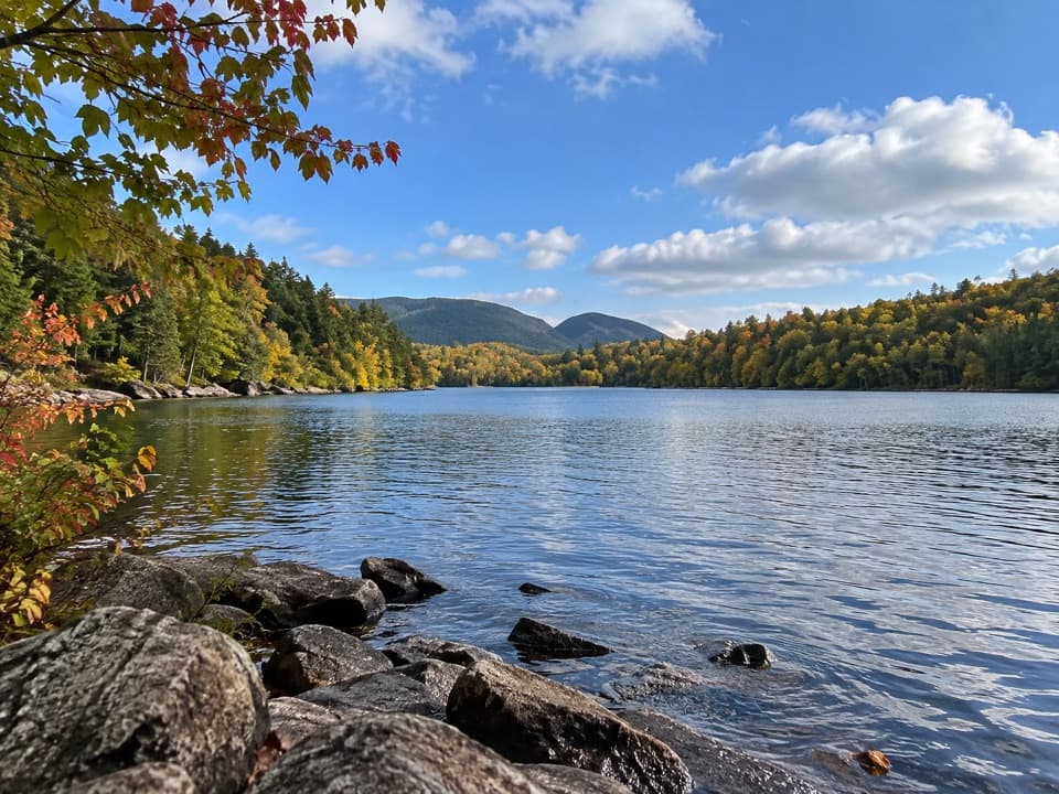 EasyQuarry Trail0.5 mi · 18 min · 0.7 mi awayA short wooded link from Blackwoods to Otter Cove’s tidal edge.
 ModerateGreat Head Trail1.9 mi · 3 hr · 1 mi awayRocky coastal ledges, a 1915 tea house ruin, and Sand Beach views.
 EasyOcean Path2.2 mi · 3 hr · 1 mi awayA relaxed coastal walk from Sand Beach to Otter Cove.
 ChallengingCadillac Mountain South Ridge Trail7.8 mi · 5 hr · 1.1 mi awayA long forest climb opens onto a granite ridge above the ocean.
 ChallengingBeehive Loop Trail1.4 mi · 2 hr · 1.1 mi awayClimb iron rungs above Sand Beach, then loop past the Bowl.
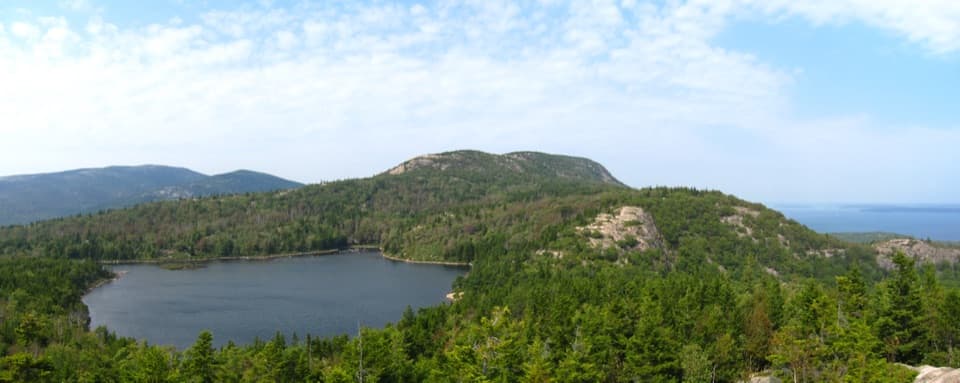 ModerateBowl Trail1.3 mi · 1.5 hr · 1.1 mi awayA rocky pond hike that skips the Beehive ladders.
 Sight · 0.1 mi awayMonument CoveA blocky pink-granite stack rising from a boulder-lined cove.
 Beach · 0.2 mi awayBoulder BeachRounded stones catch sunrise light along this Ocean Path cove.
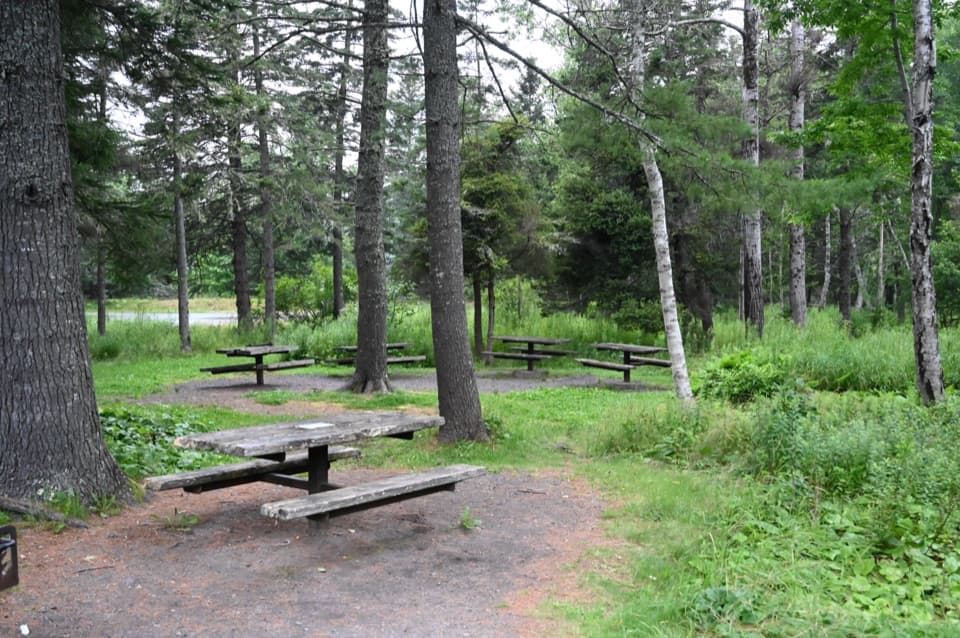 Picnic area · 0.2 mi awayFabbri Picnic Area and MemorialA quiet lunch stop with a small piece of Acadia’s radio history.
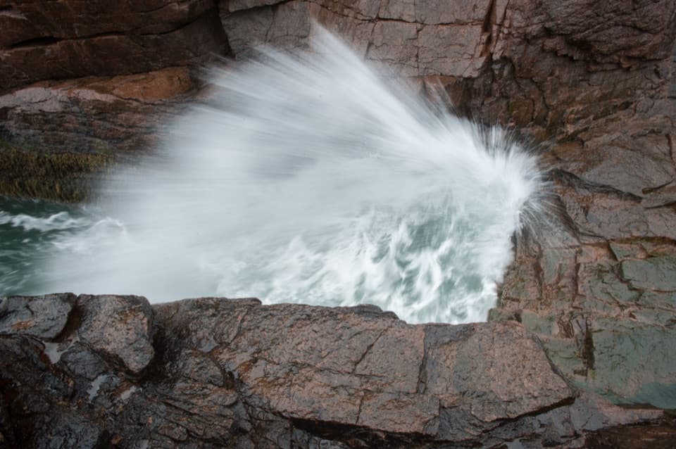 Sight · 0.3 mi awayThunder HoleThe boom is a bonus; the rocky coast earns the stop.
 Sight · 0.4 mi awayOtter CliffPink granite cliffs with a wartime radio story above the Atlantic.
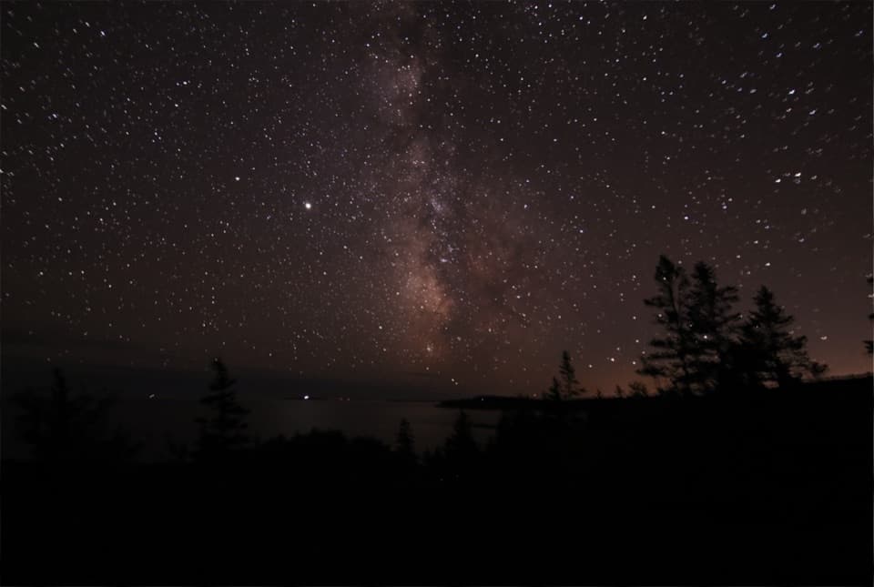 Sight · 0.6 mi awayOtter PointGo in May or September to watch songbirds move through.
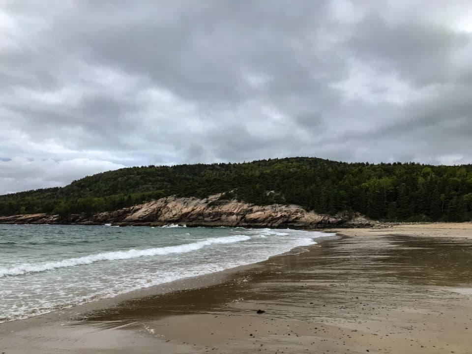 Beach · 1 mi awaySand BeachRare shell-rich sand under granite headlands.
 Campground · 1.1 mi awayBlackwoods CampgroundA wooded base with a short walk to the ocean.
Parkwolf’s Acadia ranking

The audio tour guide for the drive, plus offline maps, trails, and wildlife heatmaps for when the signal drops.


