Parking
No dedicated lot for this segment was found. Reach the west end from Quarry Path at the Park Loop Road causeway, or the east end from Grover Avenue in Otter Creek; the Blackwoods approach uses the separate Quarry Path.
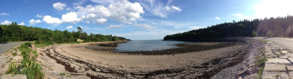
Acadia National Park, ME
A short cove link from the causeway to Otter Creek.
Overview
Map & elevation
Plan your hike

The highest, rockiest slopes around here are a summer buffet for grizzly bears.
Acadia Tour Guide
Parkwolf is a GPS audio tour guide for Acadia National Park. As you drive, it chimes in with what’s ahead: hidden gems, upcoming stops, history, geology, and wildlife, right through your car’s speakers.
Recorded for this area
Fabbri Picnic Area and Otter Point“You're coming up on Fabbri Picnic Area, near Otter Point, with nine tables among grass and trees. Bring your own lunch for a shady break.”
Plays on the road 0.3 mi from the trailhead in the Parkwolf Acadia Tour Guide.
More stories near here in the app
“…As we drove through Acadia it gave us a tour, which was really cool. Lots of great info about the parks and how to avoid the crowds. It’s a great travel companion!”


Trail guide
Otter Cove Trail is a 0.44-mile one-way connector from the Park Loop Road causeway to Grover Avenue in Otter Creek. Allow about 15 minutes one way; retracing this segment makes it roughly 0.88 miles round trip. It is a compact link between the cove-side causeway and the village rather than a destination hike.
A large stand of ash trees is the route’s notable natural feature. The path is one segment of the Village Connector, a route linking Blackwoods Campground with Otter Creek.
At the west end, continue on the separate Quarry Path toward Blackwoods Campground; eastward, this segment reaches Grover Avenue. The reported just-under-one-mile Village Connector distance includes Quarry Path, so it is longer than the Otter Cove segment alone. Dogs are allowed on most park trails and must stay on a leash no longer than six feet.
Wildlife
 130 sightingsBald EagleMost seen around noonSighting map
 21 sightingsPeregrine FalconMost seen around 10 AMSighting map
 396 sightingsWhite-tailed DeerMost seen around 7 PMSighting map
 305 sightingsPorcupineMost seen around 7 PMSighting map
 201 sightingsBeaverMost seen around 7 PMSighting map
 34 sightingsMinkMost seen around 7 PMSighting map
Sighting maps show where each species has been reported across Acadia. Wildlife moves, so no sighting is guaranteed.
Keep exploring
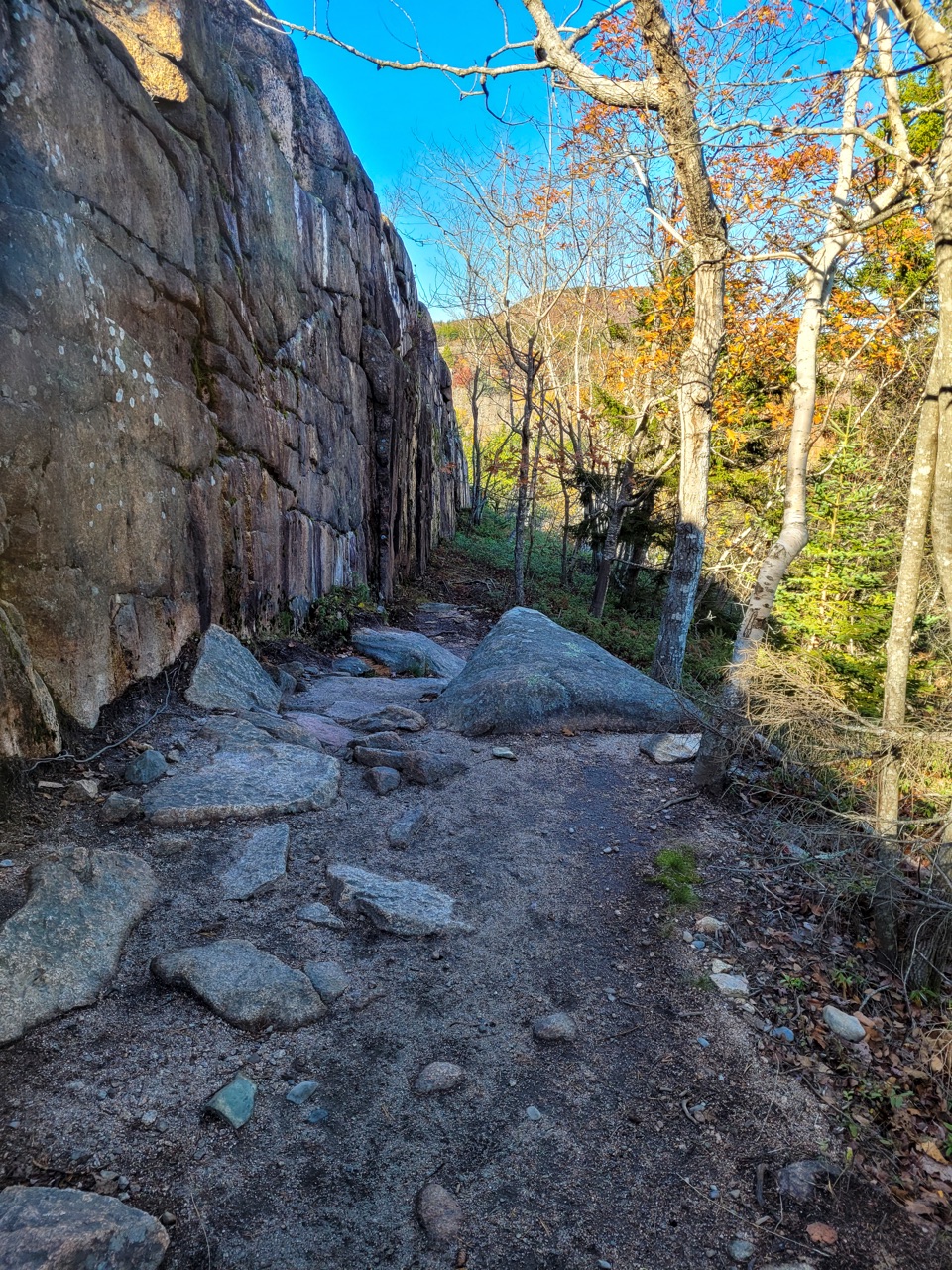 ModerateCadillac Cliffs Path0.3 mi · 21 min · 0.4 mi awayA quarter-mile of old stonework, sea cave, and steep granite steps.
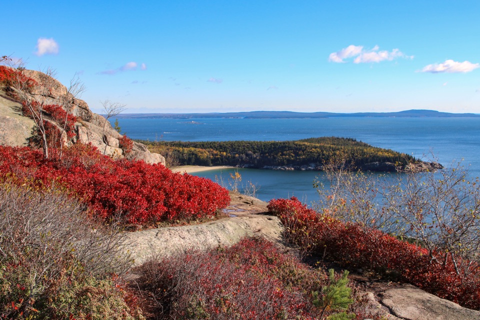 ModerateGorham Mountain Trail1.6 mi · 1.5 hr · 0.4 mi awayA short granite climb earns big ocean views from a real summit.
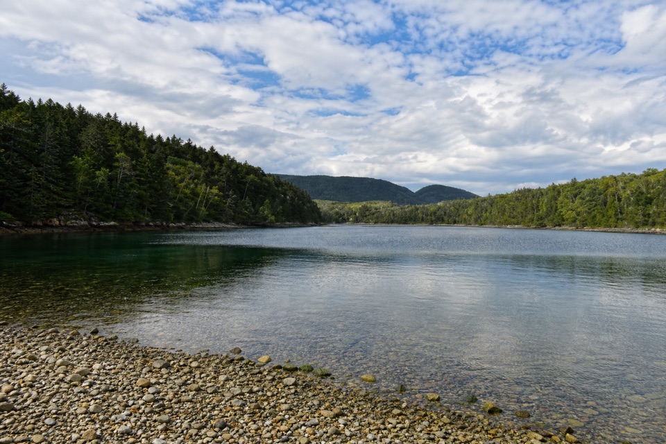 EasyQuarry Trail0.5 mi · 18 min · 0.5 mi awayA short wooded link from Blackwoods to Otter Cove’s tidal edge.
 ChallengingCadillac Mountain South Ridge Trail7.8 mi · 5 hr · 0.9 mi awayA long forest climb opens onto a granite ridge above the ocean.
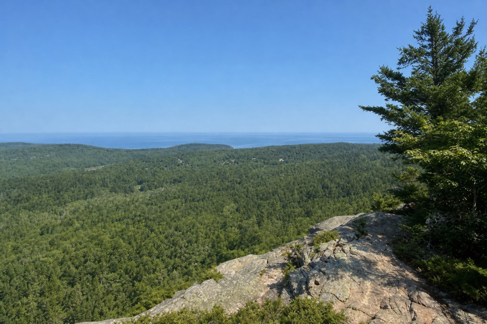 EasyEagle’s Crag Trail0.3 mi · 20 min · 1.1 mi awayA short granite detour with a view across Mount Desert Island.
 EasyOcean Path2.2 mi · 3 hr · 1.2 mi awayA relaxed coastal walk from Sand Beach to Otter Cove.
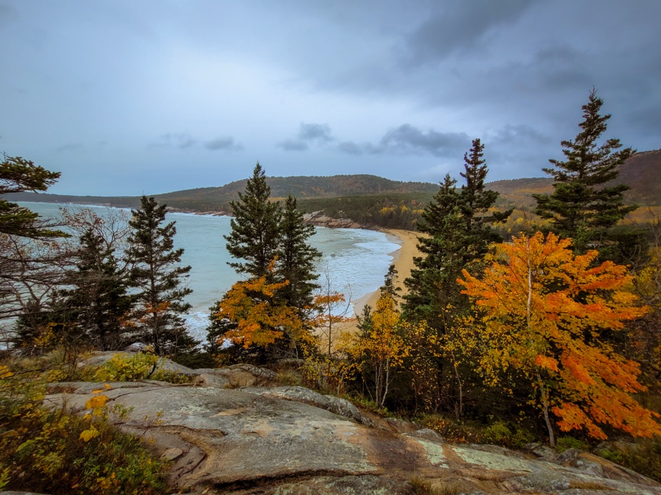 ModerateGreat Head Trail1.9 mi · 3 hr · 1.2 mi awayRocky coastal ledges, a 1915 tea house ruin, and Sand Beach views.
 ChallengingBeehive Loop Trail1.4 mi · 2 hr · 1.3 mi awayClimb iron rungs above Sand Beach, then loop past the Bowl.
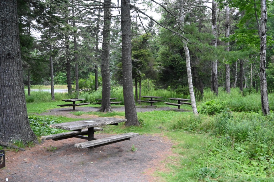 Picnic area · 0.3 mi awayFabbri Picnic Area and MemorialA quiet lunch stop with a small piece of Acadia’s radio history.
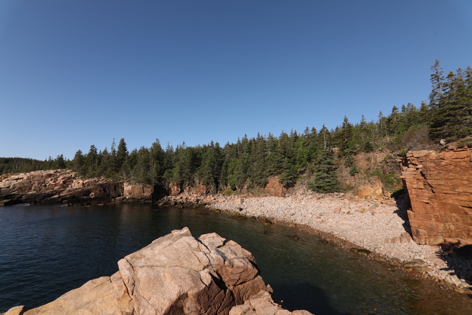 Sight · 0.5 mi awayMonument CoveA blocky pink-granite stack rising from a boulder-lined cove.
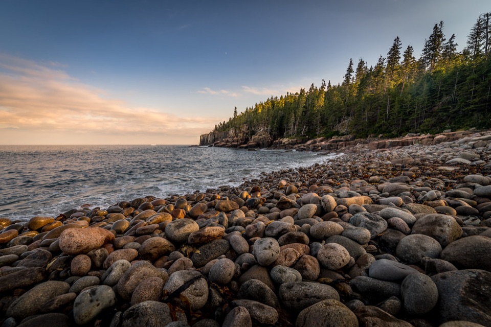 Beach · 0.5 mi awayBoulder BeachRounded stones catch sunrise light along this Ocean Path cove.
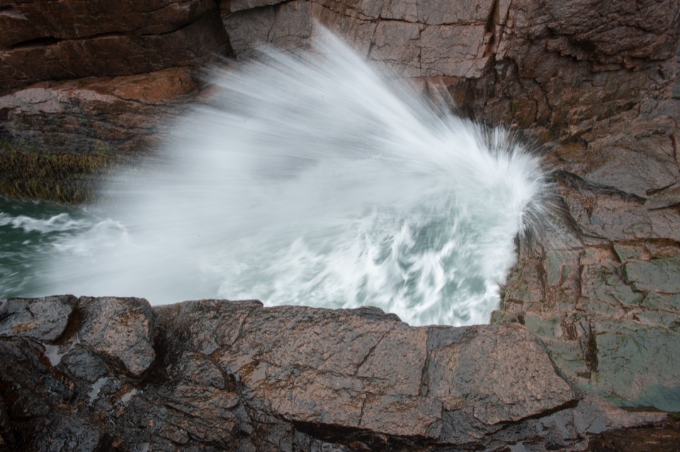 Sight · 0.6 mi awayThunder HoleThe boom is a bonus; the rocky coast earns the stop.
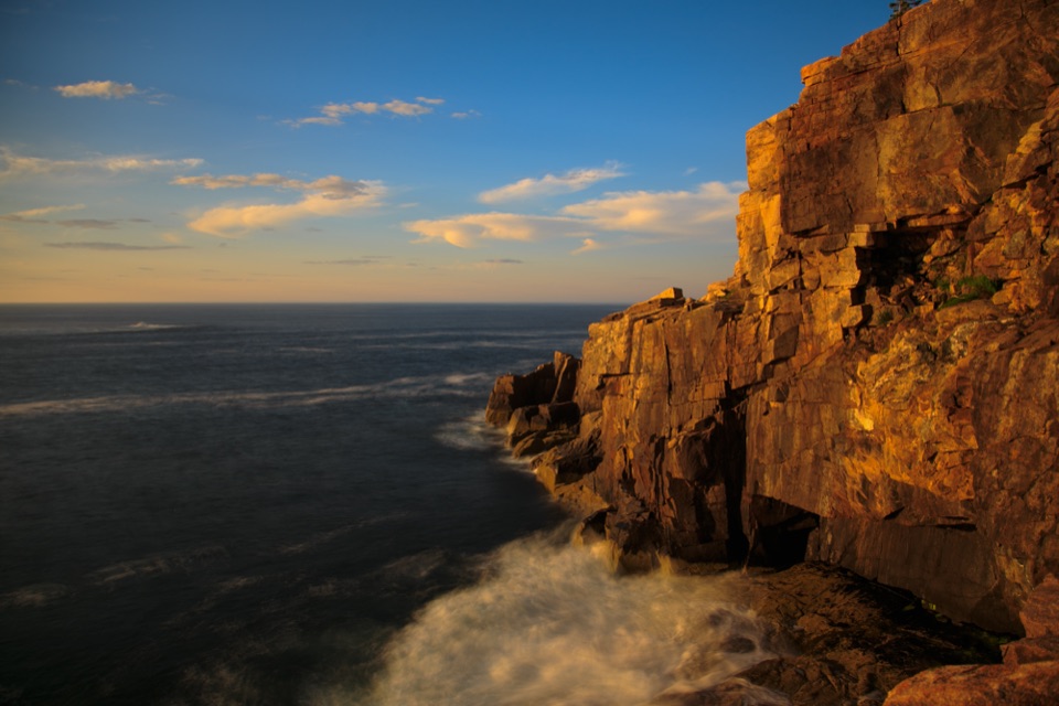 Sight · 0.7 mi awayOtter CliffPink granite cliffs with a wartime radio story above the Atlantic.
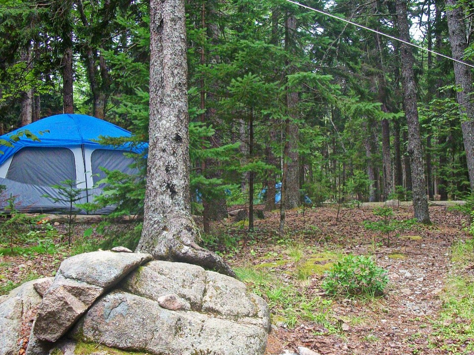 Campground · 0.7 mi awayBlackwoods CampgroundA wooded base with a short walk to the ocean.
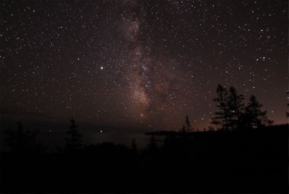 Sight · 0.7 mi awayOtter PointGo in May or September to watch songbirds move through.
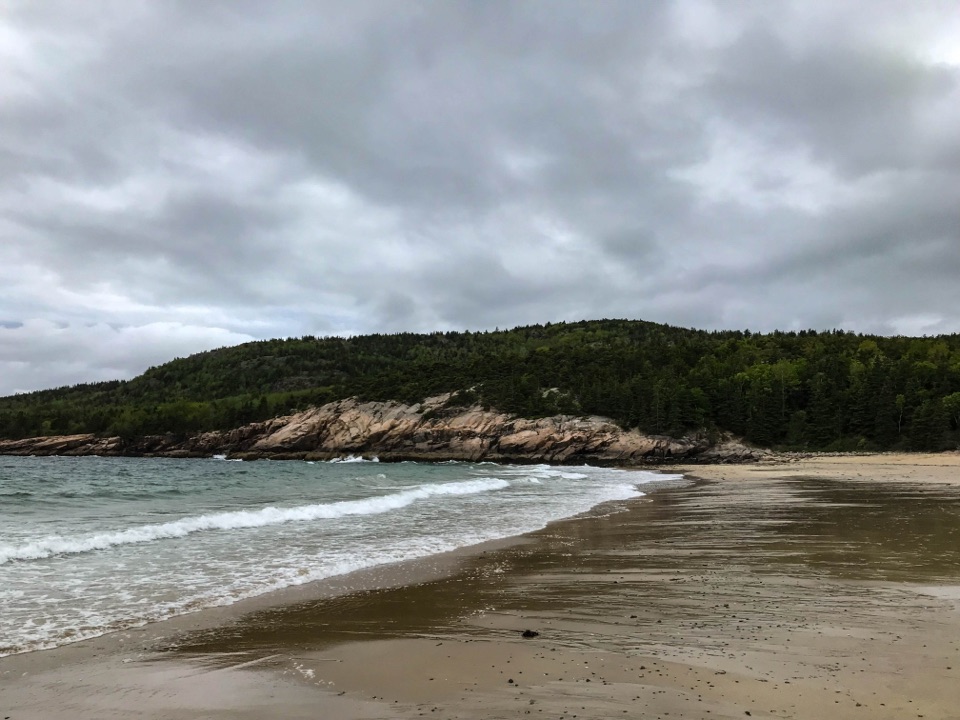 Beach · 1.2 mi awaySand BeachRare shell-rich sand under granite headlands.
Parkwolf’s Acadia ranking

The audio tour guide for the drive, plus offline maps, trails, and wildlife heatmaps for when the signal drops.


