Parking
Giant Slide Trailhead is on the east side of ME 198 about a mile south of ME 233. Look for the trail marker; there is no road sign. Parking is along the road, and capacity was not found.

Acadia National Park, ME
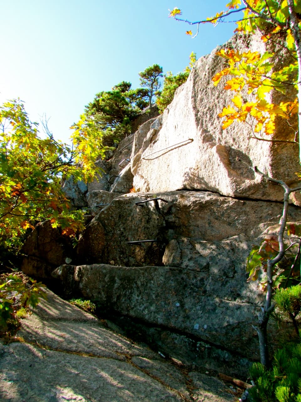
A steep brook ravine with tight boulder squeezes.
Overview
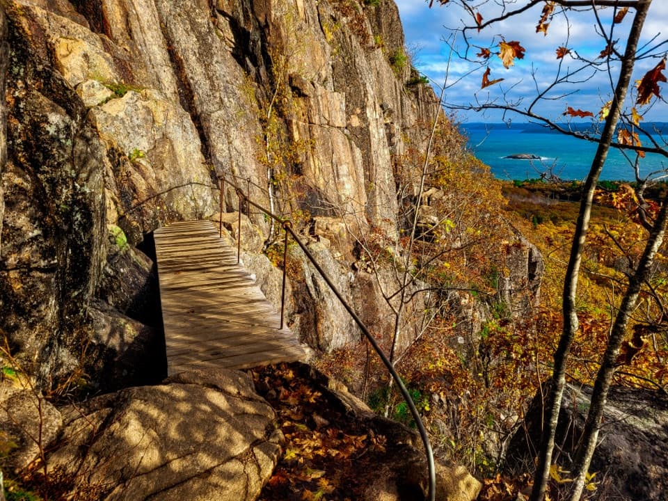
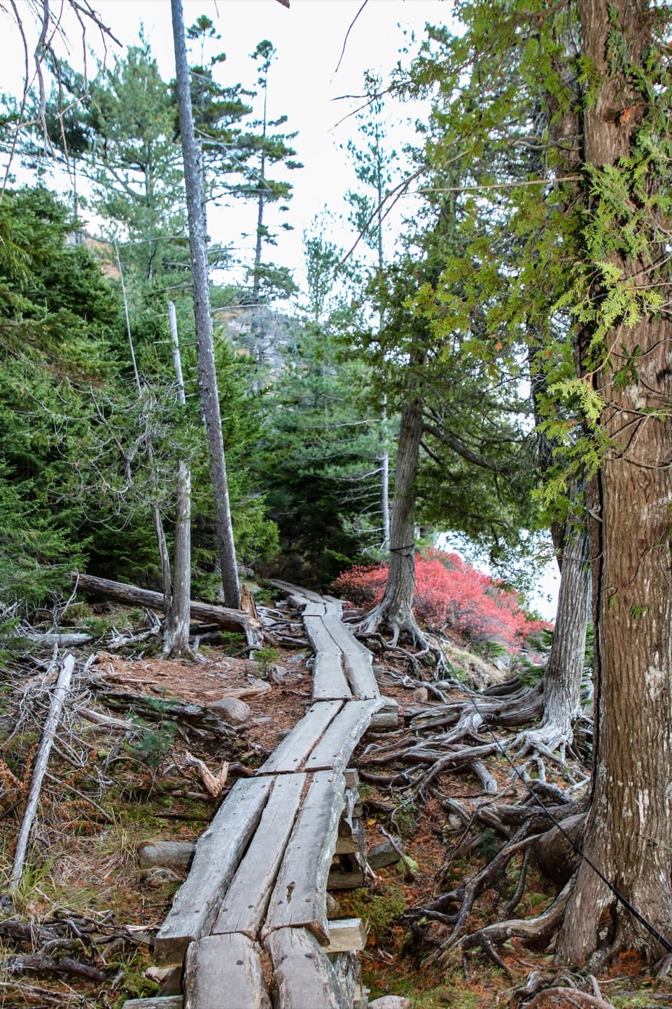
Giant Slide Trail is a 2.1-mile one-way climb from ME 198 to an upper junction in the trail network. Walking back the same way makes an approximately 4.2-mile out-and-back; allow about three hours for the climb, boulder passages and return. It starts as a gradual forest walk, then steepens beside Sargent Brook into a ravine of crossings, granite blocks and low squeezes. Choose it for close-up rock scrambling; the short mileage hides awkward footing. Older maps may call it Pulpit Rock Trail.
 Parkwolf’s verdictIs this the rough little hike for you?
Map & elevation
Plan your hike

The highest, rockiest slopes around here are a summer buffet for grizzly bears.
Acadia Tour Guide
Parkwolf is a GPS audio tour guide for Acadia National Park. As you drive, it chimes in with what’s ahead: hidden gems, upcoming stops, history, geology, and wildlife, right through your car’s speakers.
See the Acadia audio tourRecorded for this trailhead
Giant Slide’s Boulder Passages“Giant Slide Trail's roadside start is coming up, for a wooded scramble beside Sargent Brook. The unusual part is squeezing beneath huge granite boulders, including an overhanging slab that makes a cave-like passage.”
Plays as you drive up to this trailhead in the Parkwolf Acadia Tour Guide.
More stories near here in the app
“…As we drove through Acadia it gave us a tour, which was really cool. Lots of great info about the parks and how to avoid the crowds. It’s a great travel companion!”


Trail guide
The first section crosses privately owned conserved land. Stay on the marked path and respect the owners’ privacy; the park asks visitors to protect the moss and lichen. Past a carriage road the trail climbs beside Sargent Brook. Stream crossings and cool ravine condensation can make the rocks slippery. In several places the path passes beneath large boulders, with tight, low-clearance gaps. One overhanging granite slab forms a cave-like passage. To show how low it is in a photo, keep some of the rocky path below the slab in the frame.
The Giant Slide route stops at an upper junction with other trails. Sargent Mountain’s summit is a separate continuation on Sargent Northwest, with more climbing beyond the 2.1-mile trail. The 5.7-mile Giant Slide Loop is a different, longer circuit that adds Sargent, Gilmore Peak and Parkman Mountain before returning by other trails. Turn around at the upper junction to keep this outing to about 4.2 miles. Leashed pets are permitted on most park trails, but the tight boulder squeezes are a poor fit for many dogs; use a leash no longer than six feet.
Look for the Giant Slide trail marker on the east side of ME 198, about a mile south of ME 233. There is no road sign, and parking is along the road rather than in a formal lot. There is no public transportation to the trailhead and no accessible restroom there.
Wildlife
 131 sightingsBald EagleMost seen around noonSighting map
 21 sightingsPeregrine FalconMost seen around 10 AMSighting map
 403 sightingsWhite-tailed DeerMost seen around 7 PMSighting map
 307 sightingsPorcupineMost seen around 7 PMSighting map
 205 sightingsBeaverMost seen around 7 PMSighting map
 34 sightingsMinkMost seen around 7 PMSighting map
Sighting maps show where each species has been reported across Acadia. Wildlife moves, so no sighting is guaranteed.
Keep exploring
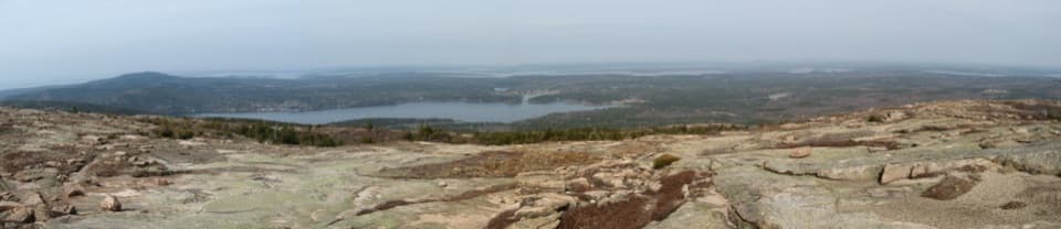 ModerateSargent Northwest Trail2 mi · 2 hr · 0.8 mi awayThe direct northwest climb onto Sargent’s open granite ridgeline.
 ChallengingGrandgent Trail1.1 mi · 1.5 hr · 1.2 mi awayA steep, one-way ridge link over Gilmore between two summits.
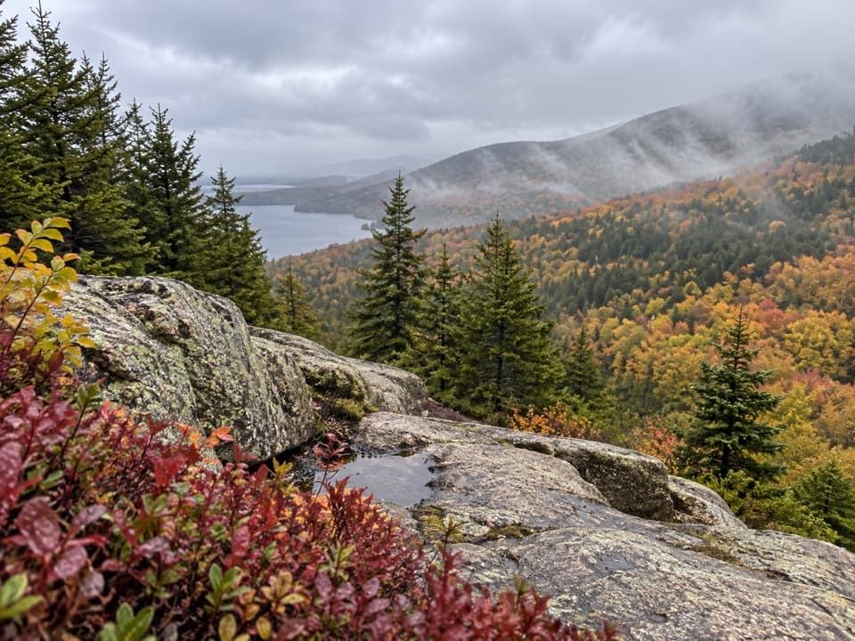 ModerateSargent East Cliffs Trail0.7 mi · 30 min · 1.5 mi awayThe fast, steep descent from Sargent’s summit toward Deer Brook.
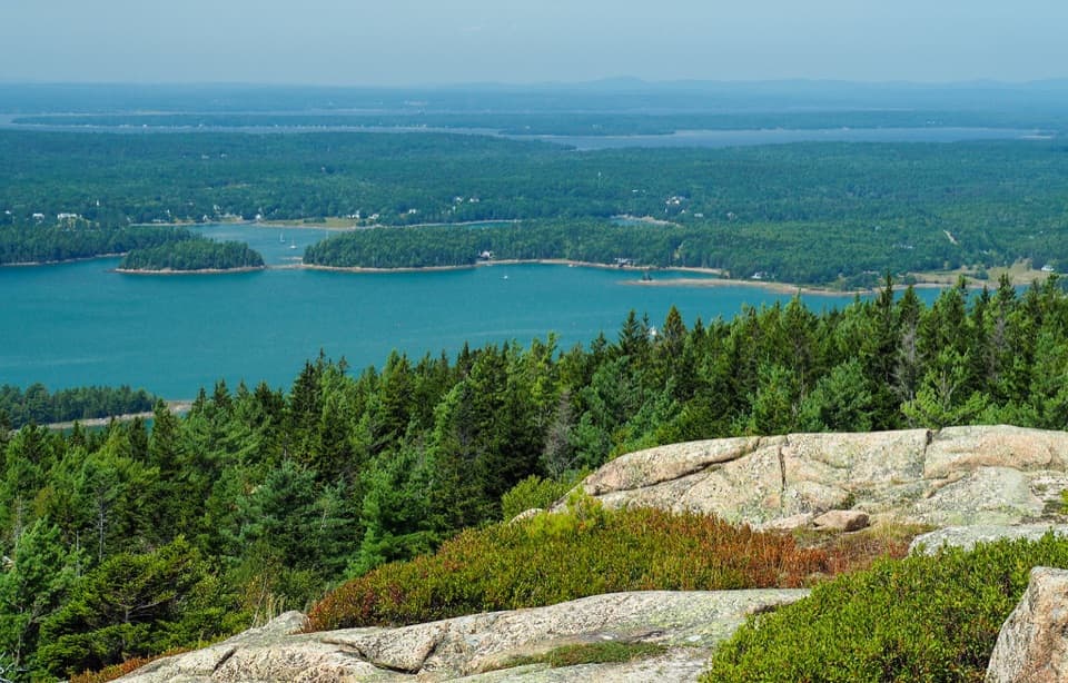 ModerateParkman Mountain Trail2.4 mi · 2 hr · 1.5 mi awayA short granite climb with a view over Somes Sound.
 ModerateAround Mountain Loop11.3 mi · 5 hr · 1.5 mi awaySeven historic bridges reward a long day on old carriage roads.
 ModerateBald Peak Trail1 mi · 45 min · 1.7 mi awayA short, steep granite climb to islands above Upper Hadlock Pond.
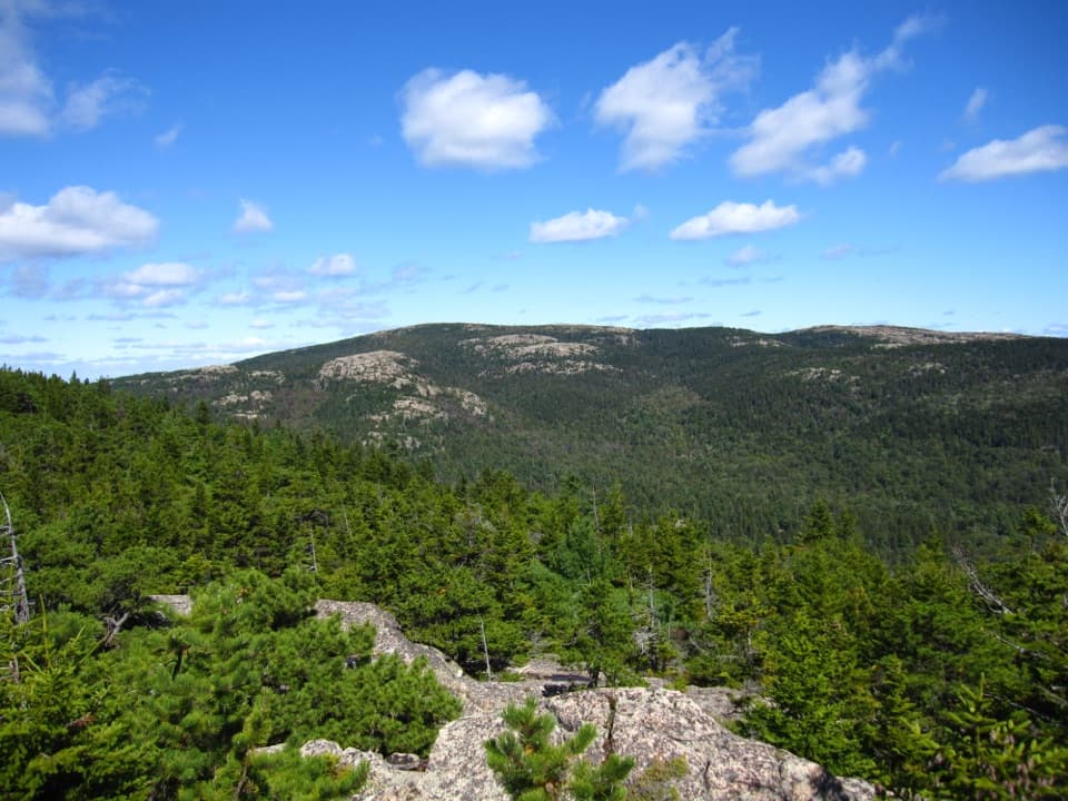 ChallengingBald Peak and Parkman Mountain Loop2.7 mi · 2 hr · 1.8 mi awayA steep granite loop to two peaks with ocean views.
 ModerateHadlock Brook Trail1.5 mi · 1.5 hr · 1.8 mi awayA steep, rooty climb beside a waterfall to Sargent’s south ridge.
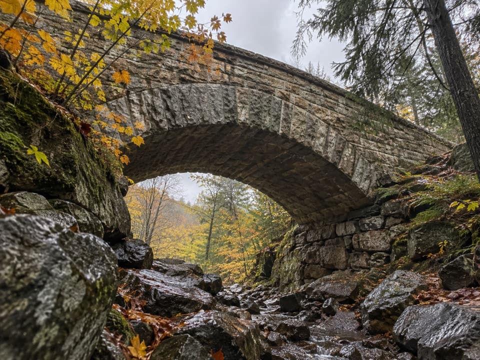 Sight · 1.4 mi awayChasm Brook BridgeA granite arch tucked above a rocky, wooded gorge.
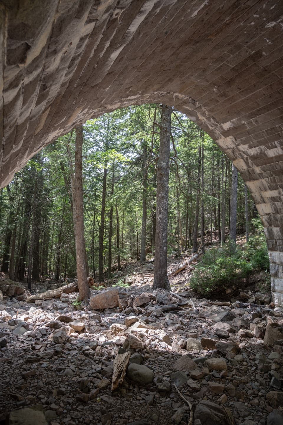 Sight · 1.6 mi awayHemlock BridgeA rare Gothic arch tucked into the car-free carriage roads.
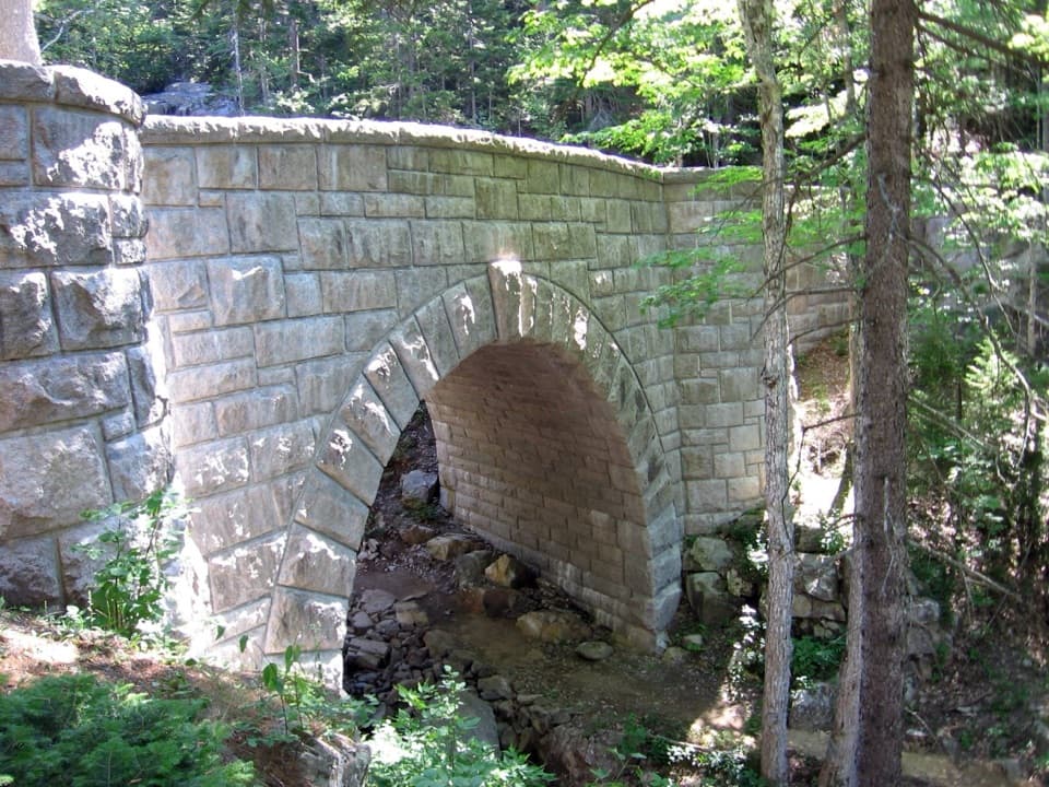 Sight · 1.7 mi awayWaterfall BridgeA 1925 arch frames Hadlock Brook's waterfall along car-free roads.
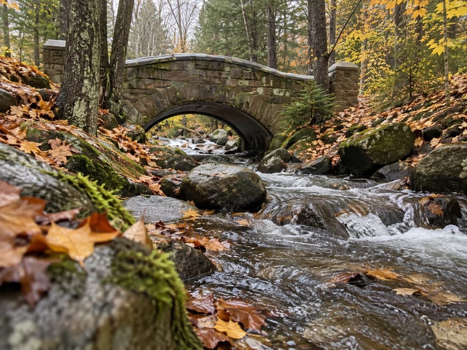 Sight · 1.9 mi awayHadlock Brook BridgeA small stone arch on the car-free Hadlock Loop.
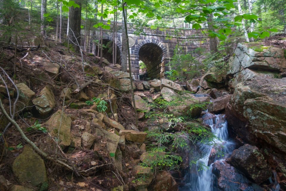 Sight · 2.1 mi awayDeer Brook BridgeTake a carriage-road detour for twin arches and a 1925 medallion.
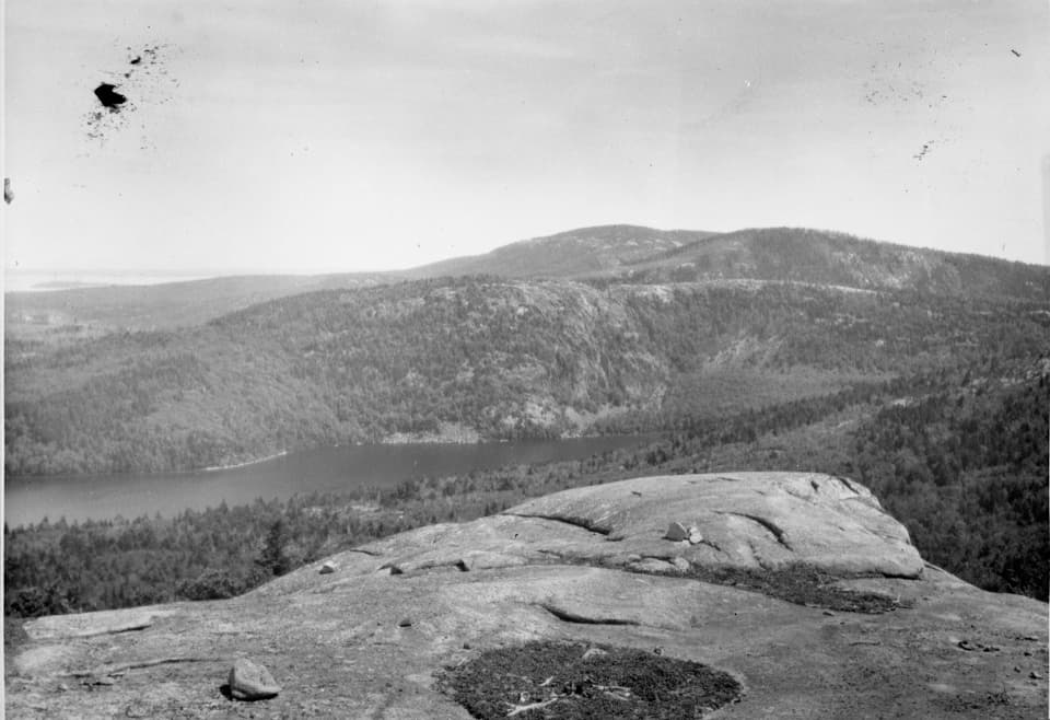 Sight · 2.1 mi awayAcadia MountainA rugged granite summit above Somes Sound
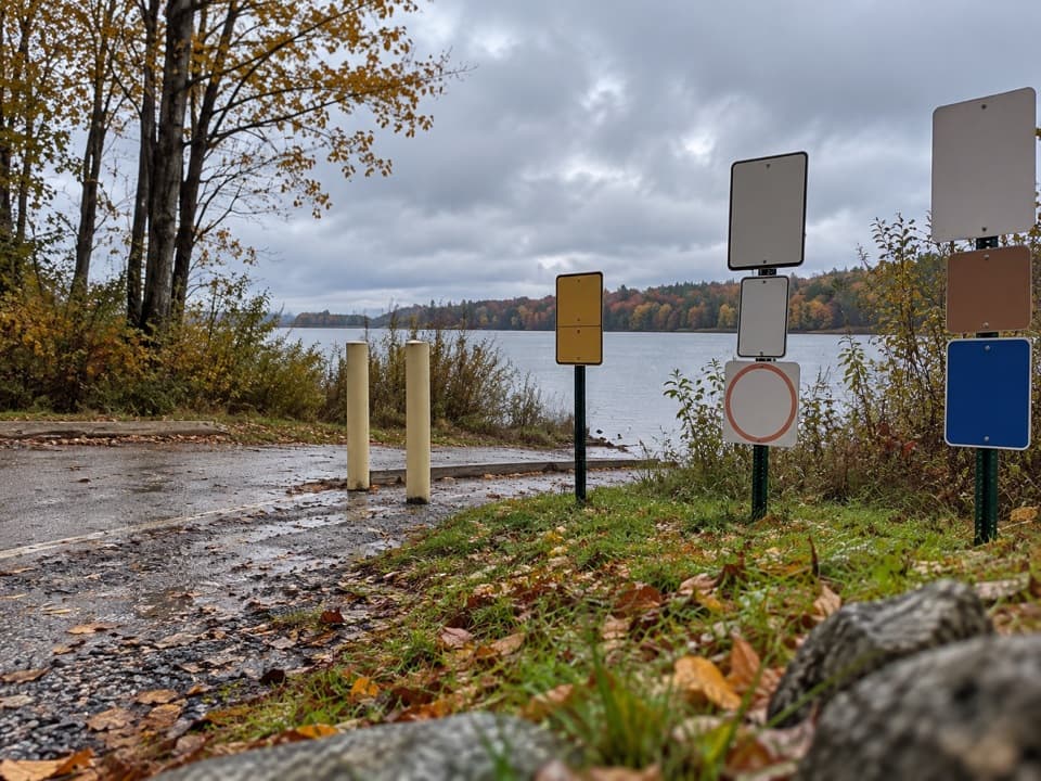 Sight · 2.3 mi awayIkes PointA paved launch puts canoes and kayaks straight onto Echo Lake.
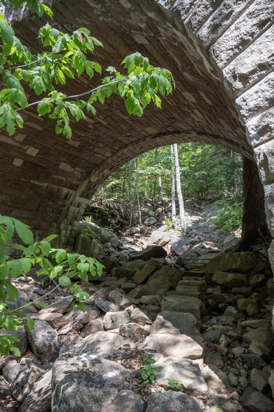 Sight · 2.4 mi awayAmphitheatre BridgeA granite arch curves around two trees toward a waterfall.
Parkwolf’s Acadia ranking
The audio tour guide for the drive, plus offline maps, trails, and wildlife heatmaps for when the signal drops.