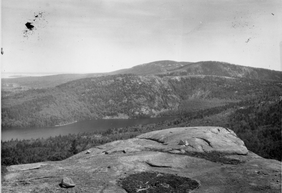
Around Mountain Loop in Acadia National Park

Acadia National Park, ME

Around Mountain Loop

Seven historic bridges reward a long day on old carriage roads.

Photo: National Park Service
Length
11.3mi
Time
5hr
Elev. change
456ft
Difficulty
Moderate
  • Loop
  • Dogs allowed
  • High point 764 ft

Hear the audio tour

Parkman Access to the Carriage Roads

Overview

About Around Mountain Loop

Why go

  • Seven historic bridge crossings, including one above a 40-foot waterfall.
  • A full loop on Acadia’s historic carriage-road network.

Heads up

  • 11.3 miles with steep climbs and descents at the high point.
  • Shared gravel road with cyclists and horses.

Map & elevation

The route

Loading the Acadia map
Full map
Elevation308–764 ft
TrailheadParkman Mountain Carriage Road Trailhead44.32950, -68.29307
Keep this map with you offline in the Parkwolf app

Plan your hike

Before you go

Parking

Use Parkman Mountain Carriage Road Trailhead off ME Route 3; the park lists 13 spaces. Follow the carriage-road access to join the loop near junction 12. The circuit has other access points, but a different start changes the mileage before or after the loop.

Safety

This is a long day on loose gravel, with a steep climb and descent between Chasm Brook and Hemlock bridges. Cyclists and horses share the road; pedestrians yield to horses. Spring mud-season closures can affect access, so check current carriage-road status before setting out.

4 active Acadia alerts

  • CautionAvoid water contact at Sand Beach LagoonDo not swim at Sand Beach Lagoon. - Bacterial levels have exceeded public-health standards, so the NPS has posted a Public Health Advisory.Official details
  • ClosureSchoodic Mountain Road closed for repairsSchoodic Mountain Road is closed from Schoodic Loop Road to the summit of Schoodic Head. - The closure began August 31 for resurfacing, regrading, and ditching.Official details
See all 4 alerts
A park ranger sits on a dash-mounted phone, talking, as Parkwolf’s Tour Guide plays “Army Cutworm Moths: A Grizzly Bear Buffet” on Grand Loop Road below Dunraven Pass in Yellowstone
Parkwolf Tour GuideThe highest, rockiest slopes around here are a summer buffet for grizzly bears.

Acadia Tour Guide

Your drive to Around Mountain Loop, narrated.

Parkwolf is a GPS audio tour guide for Acadia National Park. As you drive, it chimes in with what’s ahead: hidden gems, upcoming stops, history, geology, and wildlife, right through your car’s speakers.

Recorded for this trailhead

Parkman Access to the Carriage Roads
0:00 / 0:27
“Parkman Mountain's carriage-road access is coming up, joining the Around Mountain loop and its seven stone bridges.”

Plays as you drive up to this trailhead in the Parkwolf Acadia Tour Guide.

More stories near here in the app

  • Norumbega Access to Bald Peak
  • The Life on the Rocks
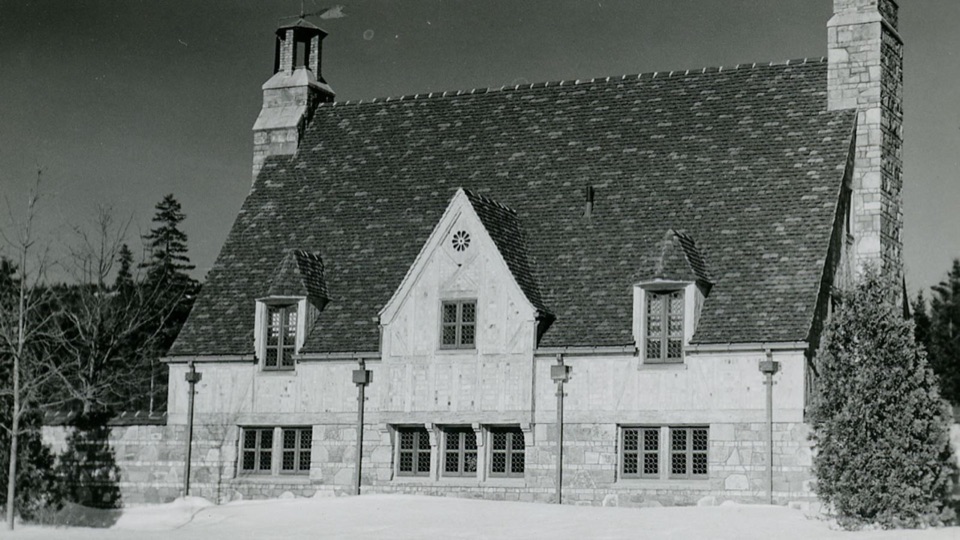
  • Brown Mountain Gatehouse and Its Bells
  • The Periwinkle's Toothed Tongue
  • 116 audio storiesacross Acadia’s roads, triggered by GPS as you drive
  • Wildlife heatmapsfor Bald Eagle, Peregrine Falcon, White-tailed Deer, and 13 more
  • Works offlinemaps, 142 trails, 72 places, and audio download before you lose signal
  • CarPlay readysimple controls built for the drive
★★★★★
“…As we drove through Acadia it gave us a tour, which was really cool. Lots of great info about the parks and how to avoid the crowds. It’s a great travel companion!”
MyMysteryChicaApp Store review
Download Parkwolf on the App StoreGet Parkwolf on Google Play

4.7 from 8,600+ ratings

Trail guide

Hiking Around Mountain Loop

A long circuit through the carriage-road networkAround Mountain Loop is Acadia’s 11.

Around Mountain Loop is Acadia’s 11.3-mile circuit on historic carriage roads, circling wooded mountain slopes and crossing seven named bridges. Allow about five hours, plus time to stop at the water crossings. It’s a long outing on firm but sometimes loose gravel, with real climbing and descending near the loop’s high point.

The park’s junction sequence is 18 → 19 → 12 → 10 north → 10 south → 14 → 21 → 20 → 19 → 18. The Parkman Mountain Carriage Road access joins the circuit near junction 12; carry the carriage-road map and follow the numbered junctions. The park lists this loop at 11.3 miles. Another mapped version gives 12.1 miles, while the traced line measures about 10.6, so mileage sources do not match exactly. Use 11.3 as the park’s named-loop figure and leave time in reserve.

The road and its bridgesThis is a walking route on Acadia’s broken-stone carriage-road system, shared with cyclists and…

This is a walking route on Acadia’s broken-stone carriage-road system, shared with cyclists and horses. Loose gravel can make footing less secure, and there are no separate lanes, so listen for faster traffic and give horses room. The route is a continuous loop rather than a summit scramble; its payoff is the old road, bridge architecture and the streams and ravines that the bridges cross.

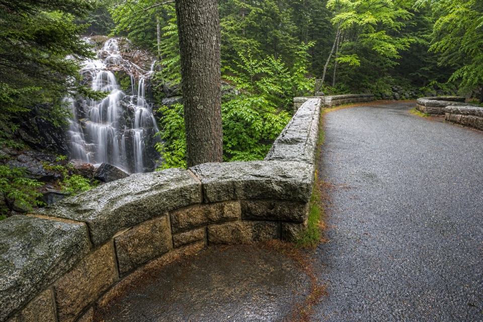
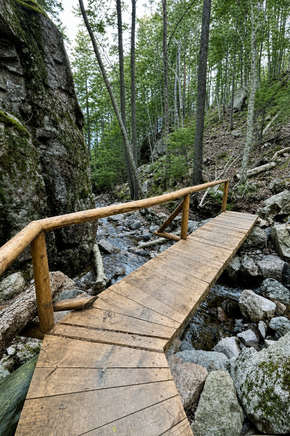
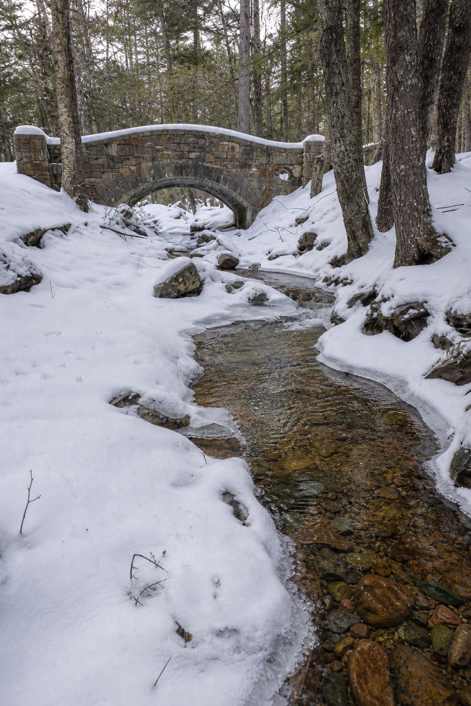
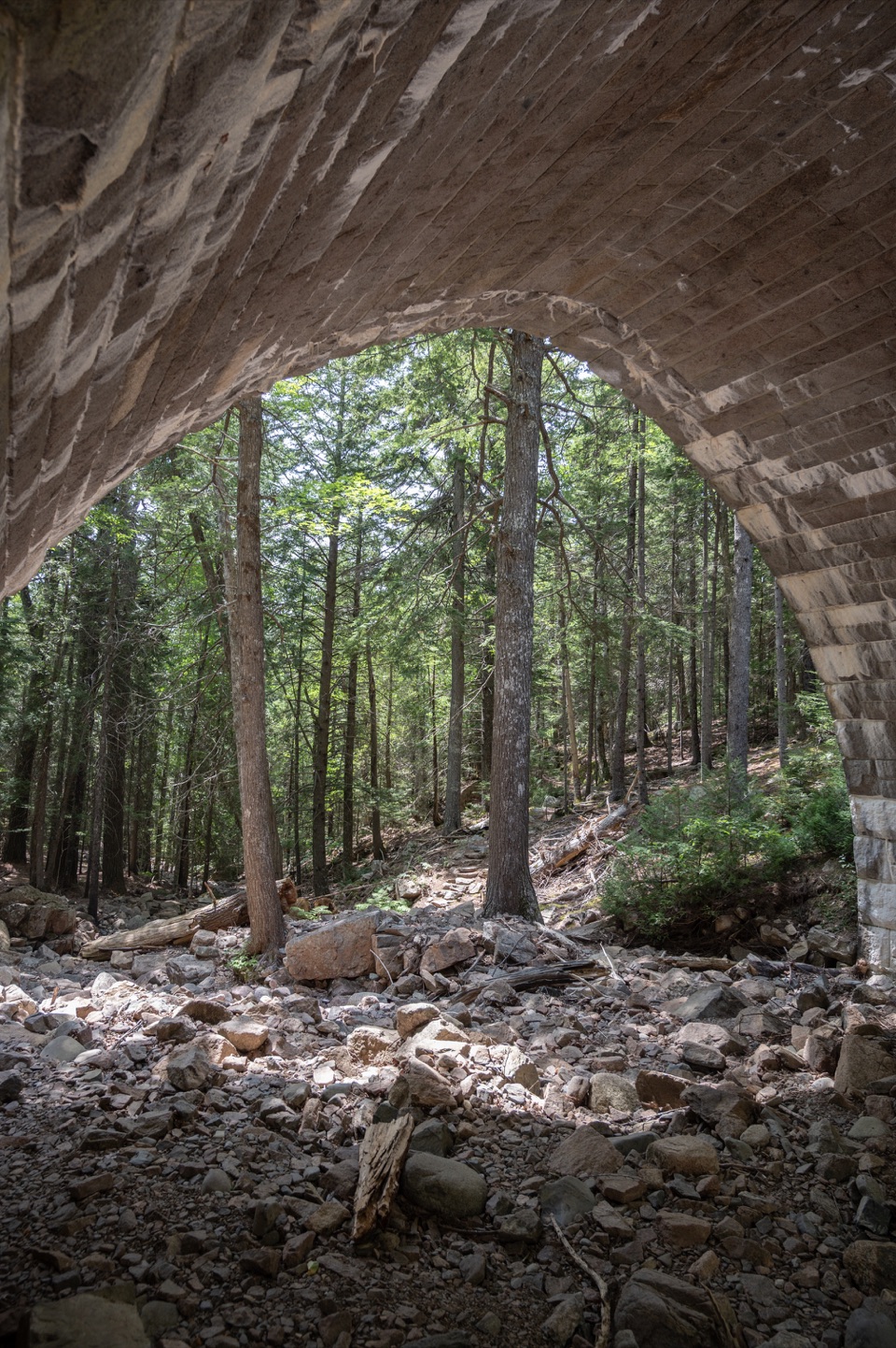
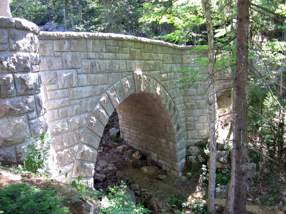
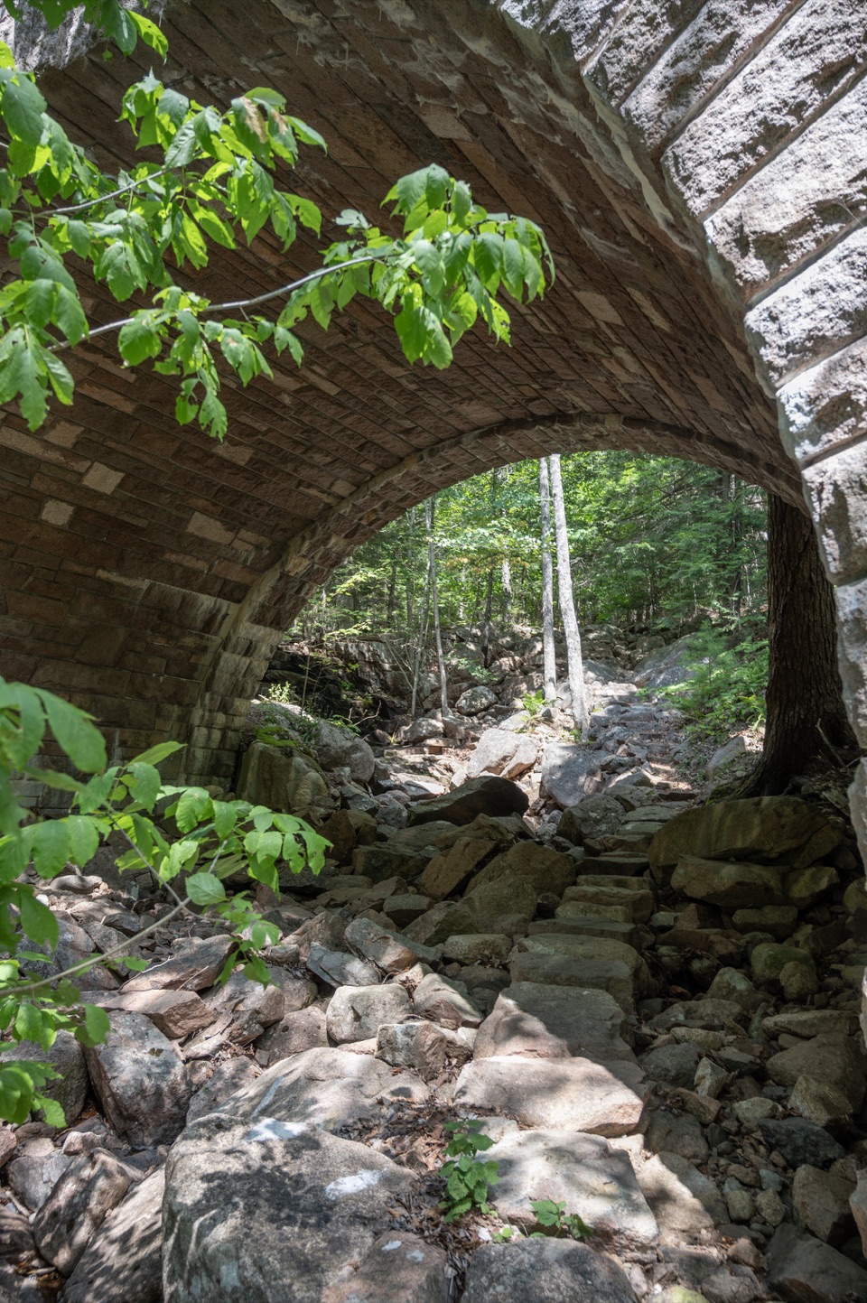
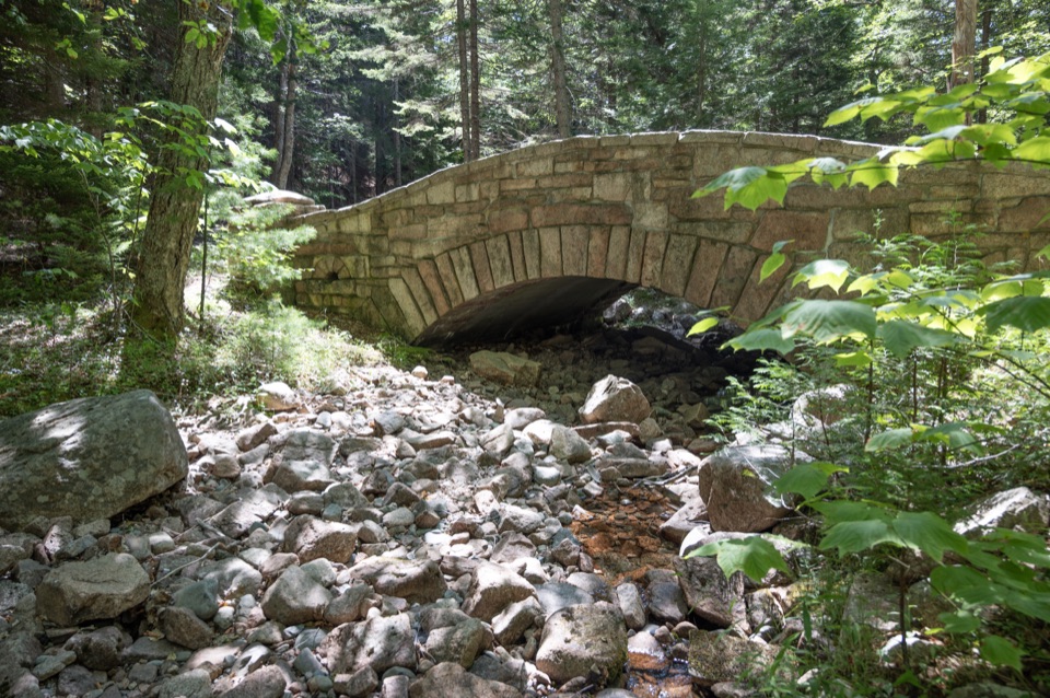
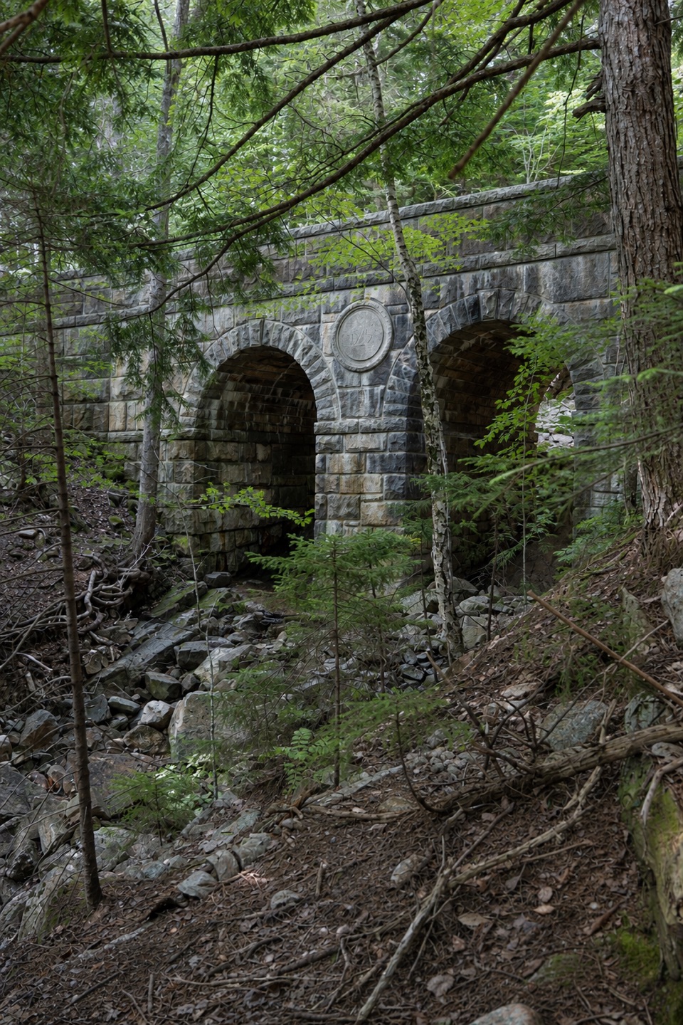
Waterfall Bridge crosses Upper Hadlock Brook above a 40-foot waterfall. Hemlock Bridge spans a deep, rocky ravine cut by Maple Spring Brook. Chasm Brook Bridge crosses Chasm Falls, and Deer Brook Bridge passes another waterfall near the north end of Jordan Pond. The remaining crossings are West Branch Jordan Stream, Cliffside and Amphitheatre bridges; each is a reason to slow down rather than rush through the miles.

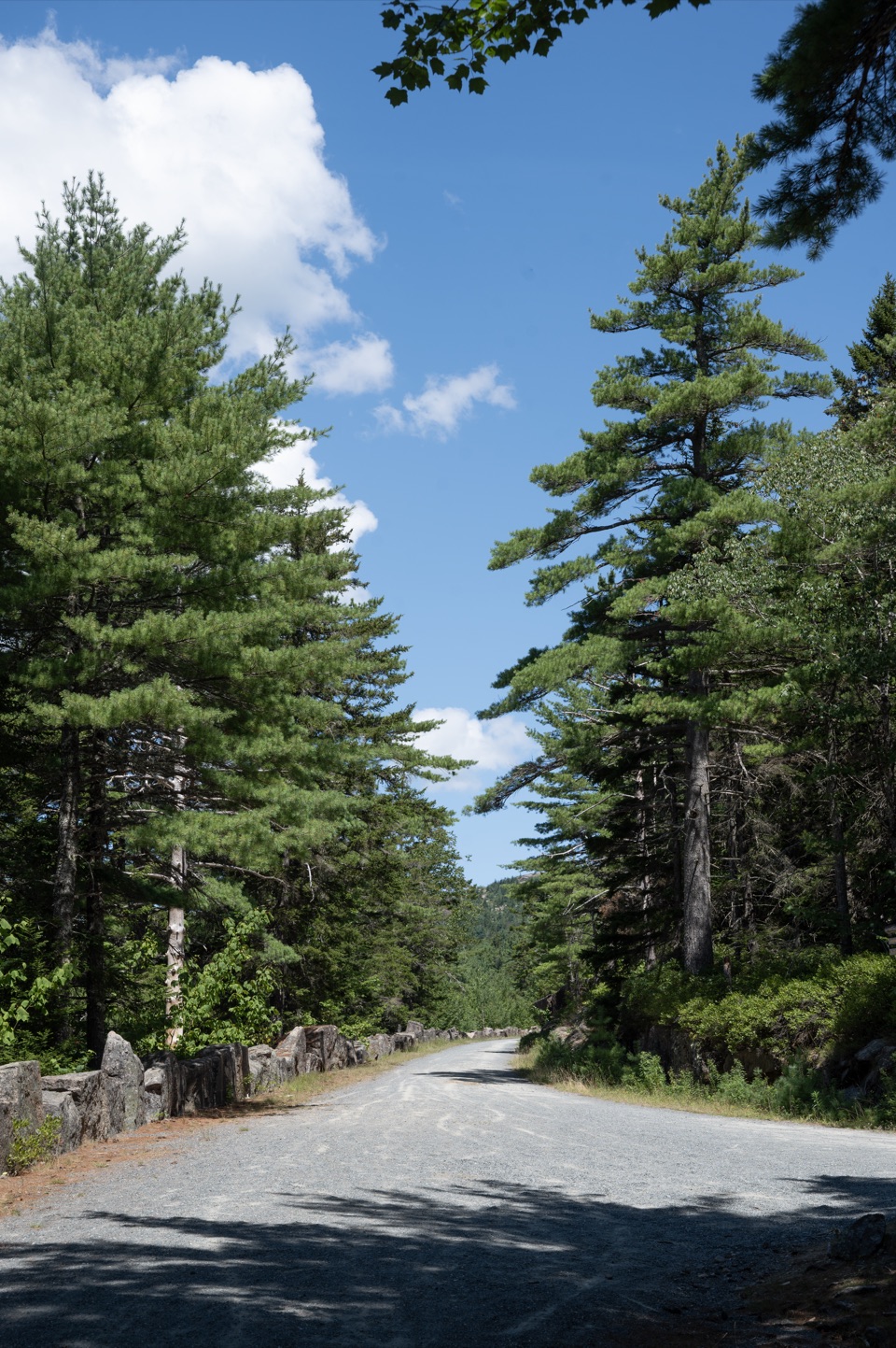
The steep sectionThe highest point is on the northwestern side, between Chasm Brook and Hemlock bridges.

The highest point is on the northwestern side, between Chasm Brook and Hemlock bridges. The road climbs steeply to it and drops steeply away on either side, so the day is not flat even though you are on a carriage road. The named bridge sequence helps you tell where you are; use the map at junctions instead of following an appealing branch that would shorten or lengthen the circuit.

A road built by handJohn D. Rockefeller Jr.

John D. Rockefeller Jr. and his family built Acadia’s carriage-road system between 1913 and 1940. Its broken-stone surface and carefully engineered bridges were designed for carriage travel, and they remain the character of this route. Waterfall Bridge dates to 1925; it was the fifth of 17 bridges built along the island network. Hemlock Bridge followed in 1924, and its ravine made the site difficult to lay out without disturbing the ground.

Access, rules and a good stopParkman Mountain Carriage Road Trailhead is the practical starting access; Acadia lists 13…

Parkman Mountain Carriage Road Trailhead is the practical starting access; Acadia lists 13 spaces there. A park entrance pass is required. Dogs are allowed on carriage roads on a leash no longer than six feet. Spring mud-season closures protect the gravel when it is soft, so check current road status before setting out. For a photo stop, frame the stone arch of Waterfall Bridge with the drop of Upper Hadlock Brook visible below it.

Wildlife

Wildlife in Acadia

All Acadia wildlife maps

Sighting maps show where each species has been reported across Acadia. Wildlife moves, so no sighting is guaranteed.

Keep exploring

Near Around Mountain Loop

See it all on the map

Trails that start nearby

Places near the trailhead

Parkwolf’s Acadia ranking

Top-rated trails in Acadia

All 142 trails
  1. 1Beehive Loop TrailChallenging · 1.4 mi
  2. 2Precipice TrailChallenging · 2.1 mi
  3. 3Jordan Pond PathModerate · 3.3 mi
  4. 4Bubbles TrailModerate · 1.5 mi
  5. 5Ocean PathEasy · 2.2 mi
  6. 6Cadillac Mountain South Ridge TrailChallenging · 7.8 mi

Take Parkwolf to Acadia.

The audio tour guide for the drive, plus offline maps, trails, and wildlife heatmaps for when the signal drops.

4.7 from 8,600+ ratings

Download Parkwolf on the App StoreGet Parkwolf on Google Play