Parking
Use the unmarked Norumbega pullout on ME Route 198 just beyond the Parkman Mountain lot; cross the road to the Sargent Mountain Trailhead. No accessible restrooms are available at the trailhead.

Acadia National Park, ME
A short, steep granite climb to islands above Upper Hadlock Pond.
Overview
Map & elevation
Plan your hike

The highest, rockiest slopes around here are a summer buffet for grizzly bears.
Acadia Tour Guide
Parkwolf is a GPS audio tour guide for Acadia National Park. As you drive, it chimes in with what’s ahead: hidden gems, upcoming stops, history, geology, and wildlife, right through your car’s speakers.
See the Acadia audio tourRecorded for this trailhead
Norumbega Access to Bald Peak“You're nearing the Norumbega roadside trail access, where I'd choose the Bald Peak and Parkman Mountain loop for two open summits.”
Plays as you drive up to this trailhead in the Parkwolf Acadia Tour Guide.
More stories near here in the app
“…As we drove through Acadia it gave us a tour, which was really cool. Lots of great info about the parks and how to avoid the crowds. It’s a great travel companion!”


Trail guide
Bald Peak Trail is about 1.0 mile one way from the Sargent Mountain Trailhead at Norumbega Parking to its junction with Parkman Mountain Trail, crossing the summit on the way. The mapped line measures about 0.92 mile, which rounds to the listed mile. Allow about 45 to 60 minutes to reach the junction, including a pause at the top. To return directly to the pullout, retrace the trail for about 2 miles total.
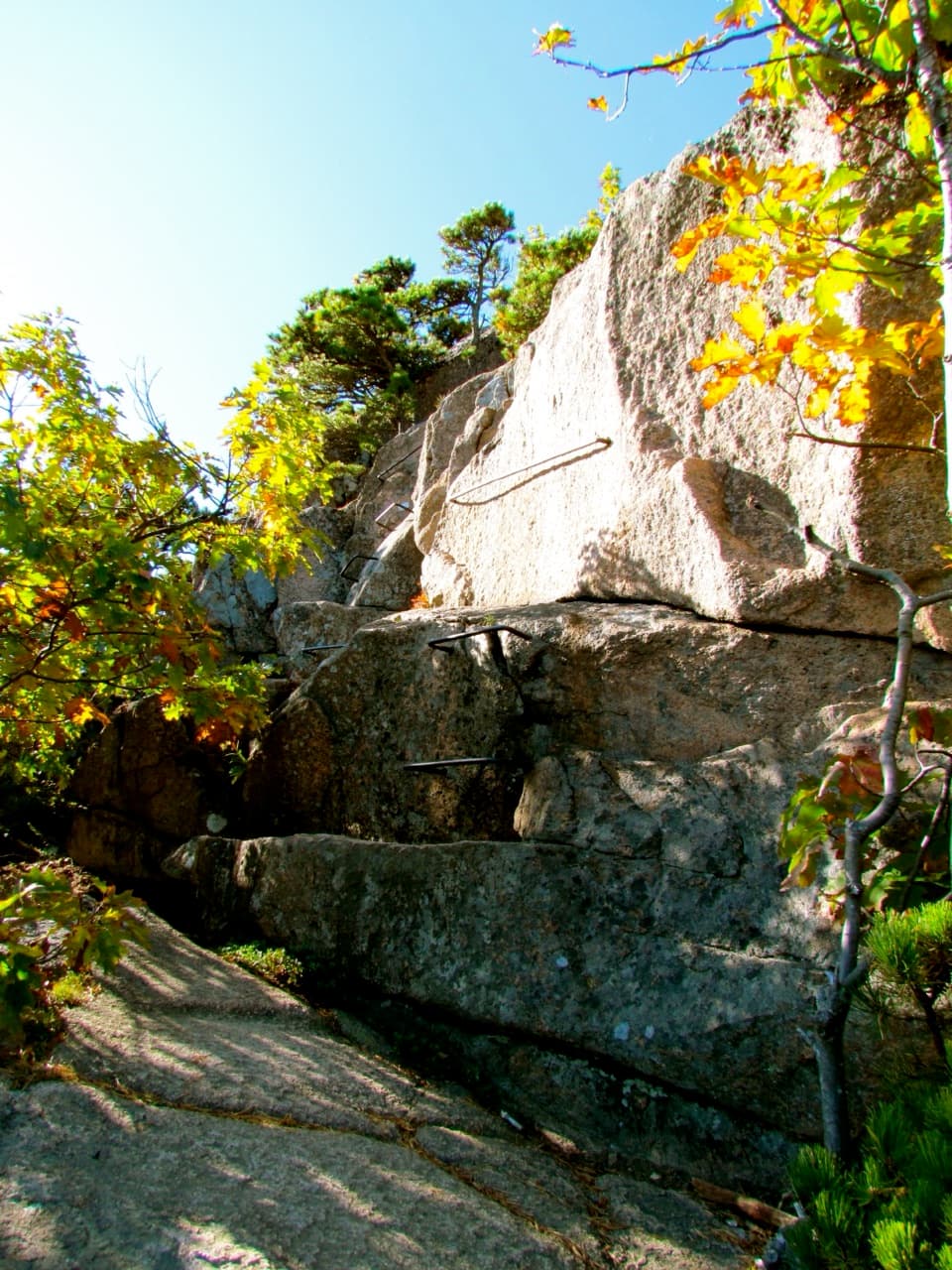
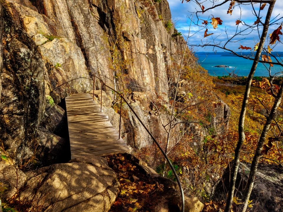
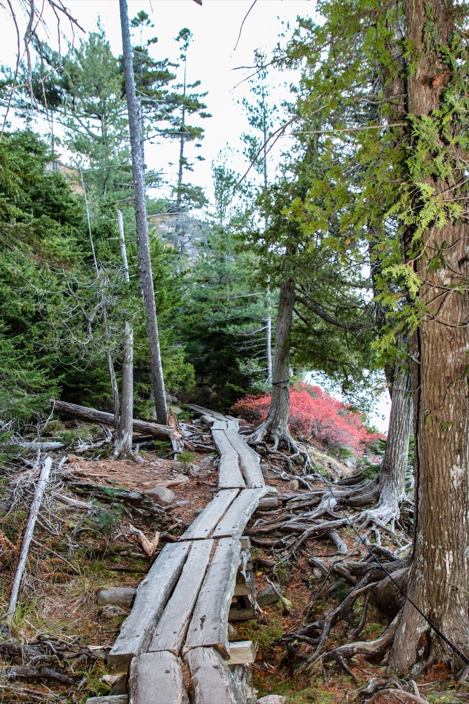
The path follows a stream and crosses two carriage roads before the slope steepens on open granite. Blue blazes and Bates cairns mark the route across the rock; watch for them instead of cutting straight across the slabs. This is a short but demanding climb, with uneven footing and exposed sections. The trail is not accessible for wheelchairs or strollers.
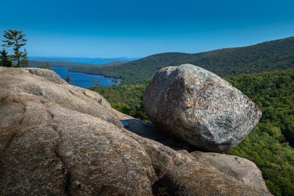
At the open granite summit, Upper Hadlock Pond and its outlying islands spread below. The summit marker and water make a distinctive view; leave some granite in the foreground to show the terrain. From the top, the trail descends the north side to meet Parkman Mountain Trail.
The separate two-summit circuit continues over Parkman Mountain and returns to the same access, a 2.7-mile loop. Its Parkman leg has two steep ledges, including one with an iron rung, plus three carriage-road crossings. Those obstacles belong to the longer loop, not the Bald Peak Trail segment.
Use the unmarked Norumbega pullout on ME Route 198 just beyond the Parkman Mountain parking lot, then cross the highway to the trailhead. A park entrance pass is required. The route is listed as year-round, but the open granite can be dangerously slick when wet; choose dry weather. Leashed dogs are allowed on a leash no longer than six feet, though the steep footing makes this a poor fit for many dogs. There are no accessible restrooms at the trailhead.
Wildlife
 131 sightingsBald EagleMost seen around noonSighting map
 21 sightingsPeregrine FalconMost seen around 10 AMSighting map
 403 sightingsWhite-tailed DeerMost seen around 7 PMSighting map
 307 sightingsPorcupineMost seen around 7 PMSighting map
 205 sightingsBeaverMost seen around 7 PMSighting map
 34 sightingsMinkMost seen around 7 PMSighting map
Sighting maps show where each species has been reported across Acadia. Wildlife moves, so no sighting is guaranteed.
Keep exploring
 ChallengingMaple Spring Trail1.4 mi · 1.8 hr · 0.2 mi awayA steep brookside gorge with historic stonework and rebuilt bridges
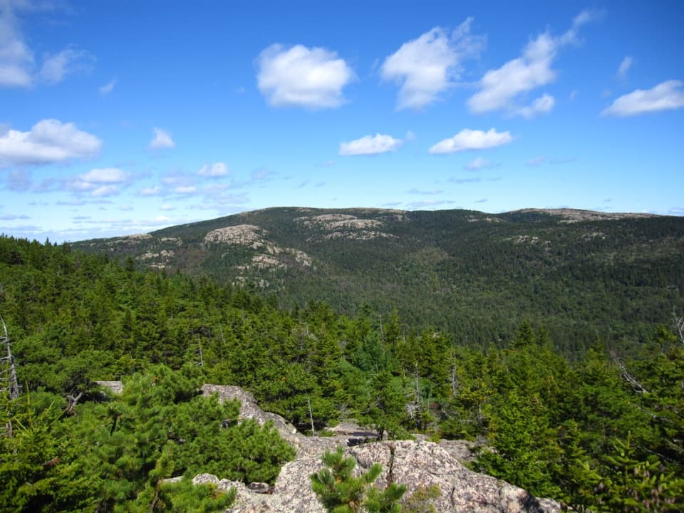 ChallengingBald Peak and Parkman Mountain Loop2.7 mi · 2 hr · 0.2 mi awayA steep granite loop to two peaks with ocean views.
 ModerateHadlock Brook Trail1.5 mi · 1.5 hr · 0.2 mi awayA steep, rooty climb beside a waterfall to Sargent’s south ridge.
 ModerateGoat Trail to Norumbega Mountain1.1 mi · 1.3 hr · 0.2 mi awayA short, steep climb to a mostly wooded summit.
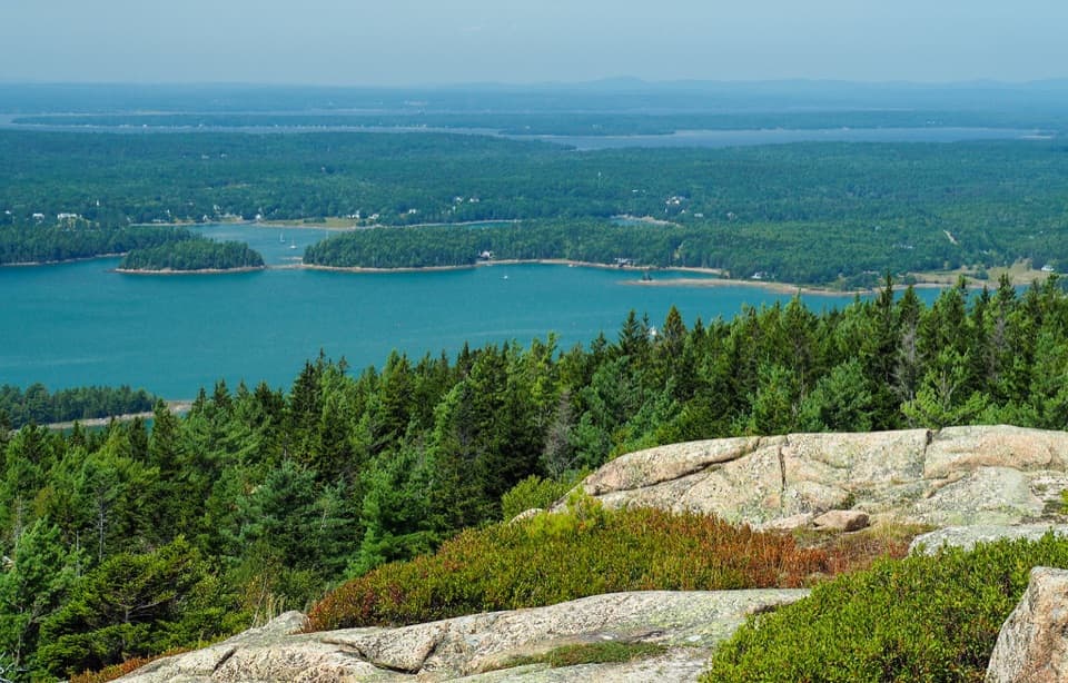 ModerateParkman Mountain Trail2.4 mi · 2 hr · 0.3 mi awayA short granite climb with a view over Somes Sound.
 ModerateAround Mountain Loop11.3 mi · 5 hr · 0.3 mi awaySeven historic bridges reward a long day on old carriage roads.
 EasyNorumbega Mountain Trail1.3 mi · 45 min · 0.4 mi awayA forested ridge trail eases down to Lower Hadlock Pond.
 ChallengingGrandgent Trail1.1 mi · 1.5 hr · 0.8 mi awayA steep, one-way ridge link over Gilmore between two summits.
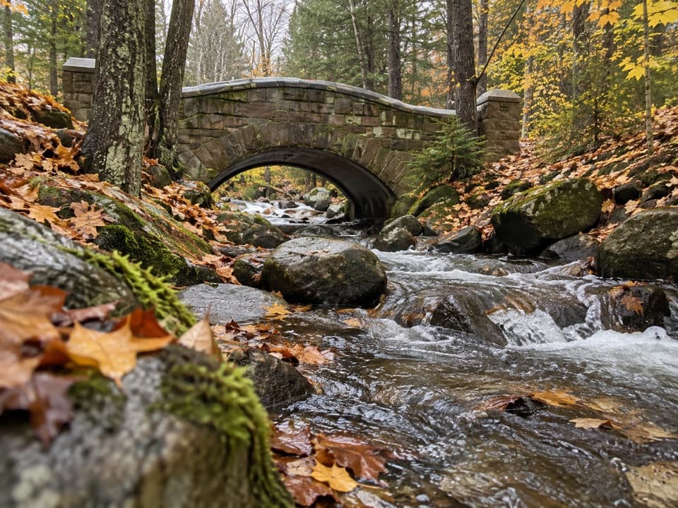 Sight · 0.3 mi awayHadlock Brook BridgeA small stone arch on the car-free Hadlock Loop.
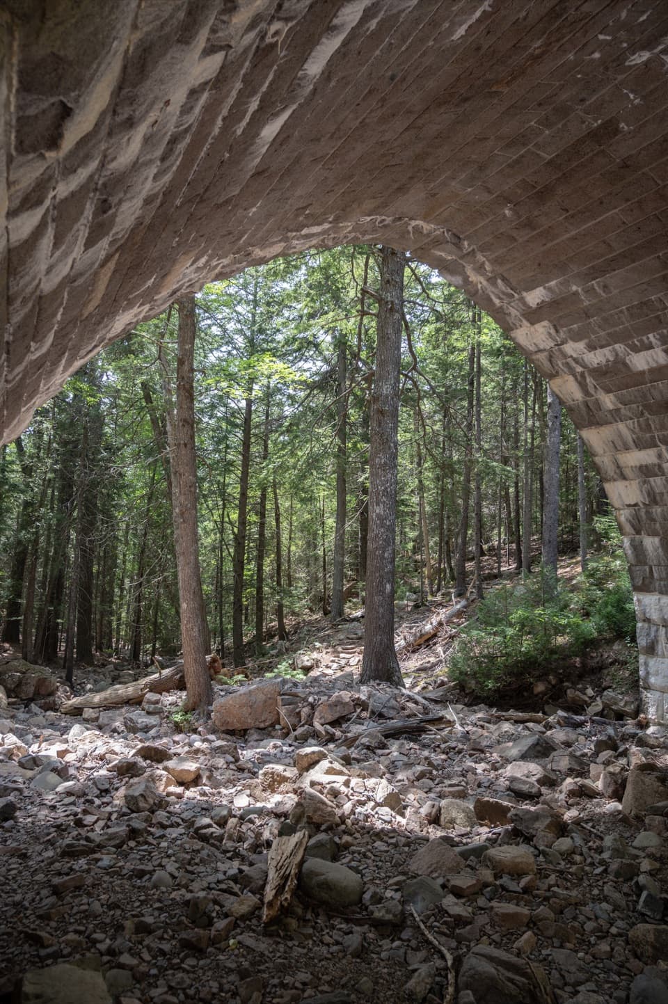 Sight · 0.5 mi awayHemlock BridgeA rare Gothic arch tucked into the car-free carriage roads.
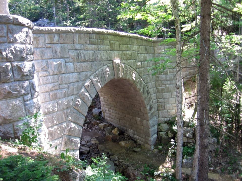 Sight · 0.5 mi awayWaterfall BridgeA 1925 arch frames Hadlock Brook's waterfall along car-free roads.
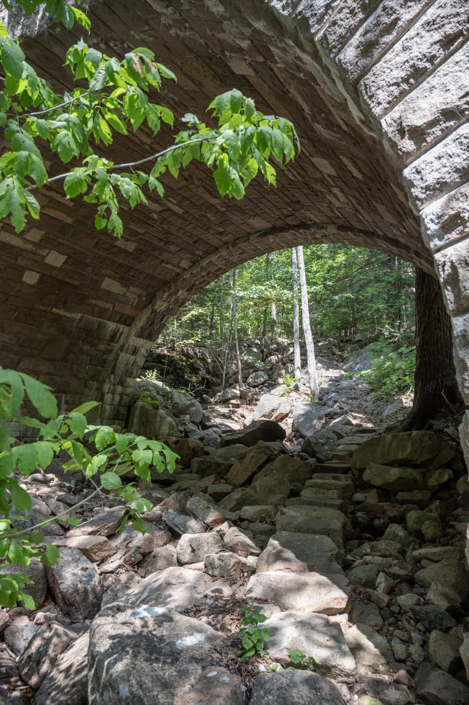 Sight · 1 mi awayAmphitheatre BridgeA granite arch curves around two trees toward a waterfall.
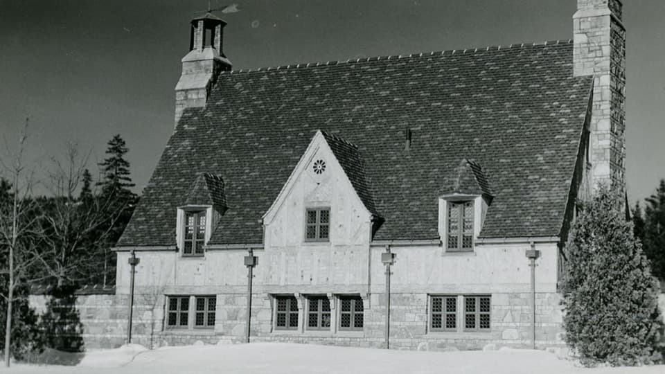 Sight · 1.1 mi awayBrown Mountain GatehouseA 1932 stone-and-brick gate marks the carriage-road entrance.
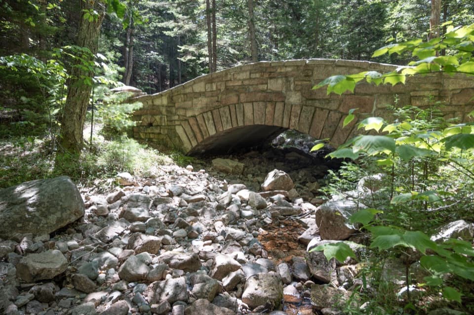 Sight · 1.3 mi awayLittle Harbor Brook BridgeA 1919 granite-faced arch over a shallow brook on car-free roads.
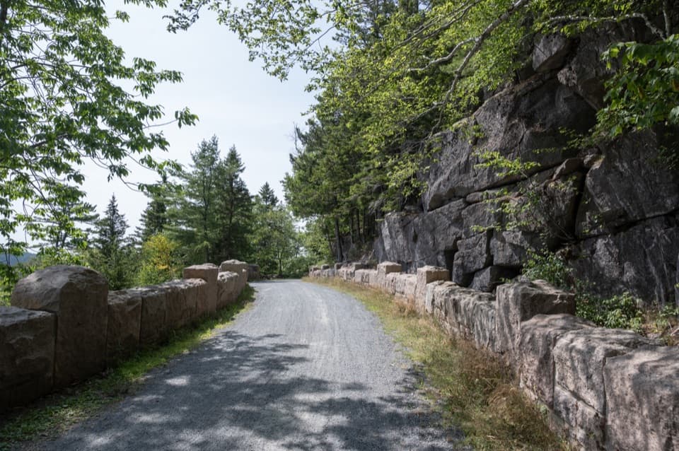 Sight · 1.4 mi awayCliffside BridgeA 1932 stone bridge with castle turrets above Jordan Stream.
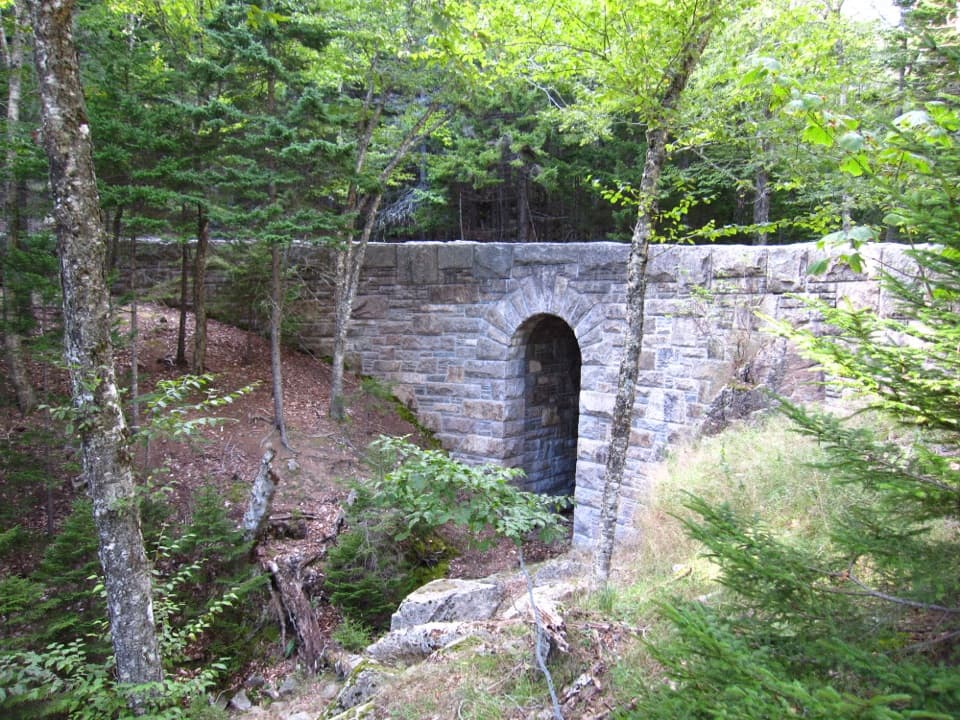 Sight · 1.5 mi awayWest Branch Jordan Stream BridgeA granite carriage-road bridge with a six-foot Roman arch.
Parkwolf’s Acadia ranking

The audio tour guide for the drive, plus offline maps, trails, and wildlife heatmaps for when the signal drops.