Parking
Start at Parkman Mountain Carriage Road Trailhead off ME Route 3. Follow the carriage-road approach to Parkman Mountain Trail; this is separate from the Norumbega roadside access.
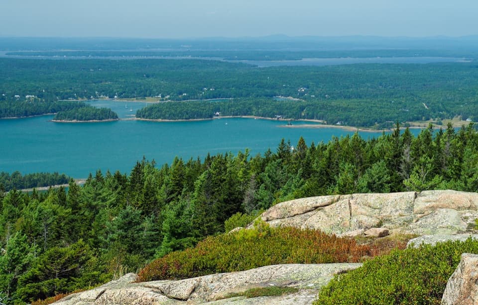
Acadia National Park, ME
A short granite climb with a view over Somes Sound.
Overview
Map & elevation
Plan your hike

The highest, rockiest slopes around here are a summer buffet for grizzly bears.
Acadia Tour Guide
Parkwolf is a GPS audio tour guide for Acadia National Park. As you drive, it chimes in with what’s ahead: hidden gems, upcoming stops, history, geology, and wildlife, right through your car’s speakers.
See the Acadia audio tourRecorded for this trailhead
Parkman Access to the Carriage Roads“Parkman Mountain's carriage-road access is coming up, joining the Around Mountain loop and its seven stone bridges.”
Plays as you drive up to this trailhead in the Parkwolf Acadia Tour Guide.
More stories near here in the app
“…As we drove through Acadia it gave us a tour, which was really cool. Lots of great info about the parks and how to avoid the crowds. It’s a great travel companion!”


Trail guide
Parkman Mountain Trail is a direct out-and-back from Parkman Mountain Carriage Road Trailhead to the granite summit. Counting the carriage-road approach and return, this version is about 2.4 miles round trip, with roughly 590 feet of climbing; allow about two hours. It makes a good one-peak outing without committing to a longer day. The route follows the carriage road to Parkman Mountain Trail, climbs to the summit and returns along the same corridor.
Published figures differ: a bare listing for Parkman Mountain Trail gives 2.7 miles without defining its endpoints, while the separate 2.7-mile Bald Peak–Parkman outing starts at Sargent Mountain Trailhead and adds a second summit. This entry counts the mapped walk from the Parkman carriage-road lot to Parkman’s summit and back.
The approach begins on the broad carriage-road tread, then leaves it for a narrower mountain path. The trail climbs through forest and onto bare granite shelves near the top. The open rock is uneven, with a short steep step that uses an iron rung; the climb is more demanding than the mileage alone suggests.
Granite can be slick when wet, so choose a dry day for the exposed upper section. Keep to the walked line over the bedrock and take the rung slowly.
Parkman Mountain rises to 941 feet. Its open granite summit looks toward Somes Sound and Northeast Harbor, with a broad sweep of wooded coast beyond the rock. Pause long enough to pick out the islands and inlets rather than turning straight around. For a photo, keep the cracked granite in the foreground and the coastal water along the horizon; the bare slabs give the view its scale.
Park at Parkman Mountain Carriage Road Trailhead and follow the carriage-road approach to the mountain trail. A park entrance pass is required. Dogs are allowed on most trails and carriage roads, but park guidance recommends avoiding routes with ladders and rungs; this route has an iron rung. If you bring a dog, keep it on a leash no longer than six feet and consider whether it can manage the rocky step safely.
Wildlife
 131 sightingsBald EagleMost seen around noonSighting map
 21 sightingsPeregrine FalconMost seen around 10 AMSighting map
 403 sightingsWhite-tailed DeerMost seen around 7 PMSighting map
 307 sightingsPorcupineMost seen around 7 PMSighting map
 205 sightingsBeaverMost seen around 7 PMSighting map
 34 sightingsMinkMost seen around 7 PMSighting map
Sighting maps show where each species has been reported across Acadia. Wildlife moves, so no sighting is guaranteed.
Keep exploring
 ModerateAround Mountain Loop11.3 mi · 5 hr · At the trailheadSeven historic bridges reward a long day on old carriage roads.
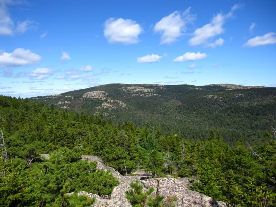 ChallengingBald Peak and Parkman Mountain Loop2.7 mi · 2 hr · 0.3 mi awayA steep granite loop to two peaks with ocean views.
 ModerateHadlock Brook Trail1.5 mi · 1.5 hr · 0.3 mi awayA steep, rooty climb beside a waterfall to Sargent’s south ridge.
 ModerateGoat Trail to Norumbega Mountain1.1 mi · 1.3 hr · 0.3 mi awayA short, steep climb to a mostly wooded summit.
 ModerateBald Peak Trail1 mi · 45 min · 0.3 mi awayA short, steep granite climb to islands above Upper Hadlock Pond.
 EasyNorumbega Mountain Trail1.3 mi · 45 min · 0.4 mi awayA forested ridge trail eases down to Lower Hadlock Pond.
 ChallengingMaple Spring Trail1.4 mi · 1.8 hr · 0.4 mi awayA steep brookside gorge with historic stonework and rebuilt bridges
 ChallengingGrandgent Trail1.1 mi · 1.5 hr · 0.7 mi awayA steep, one-way ridge link over Gilmore between two summits.
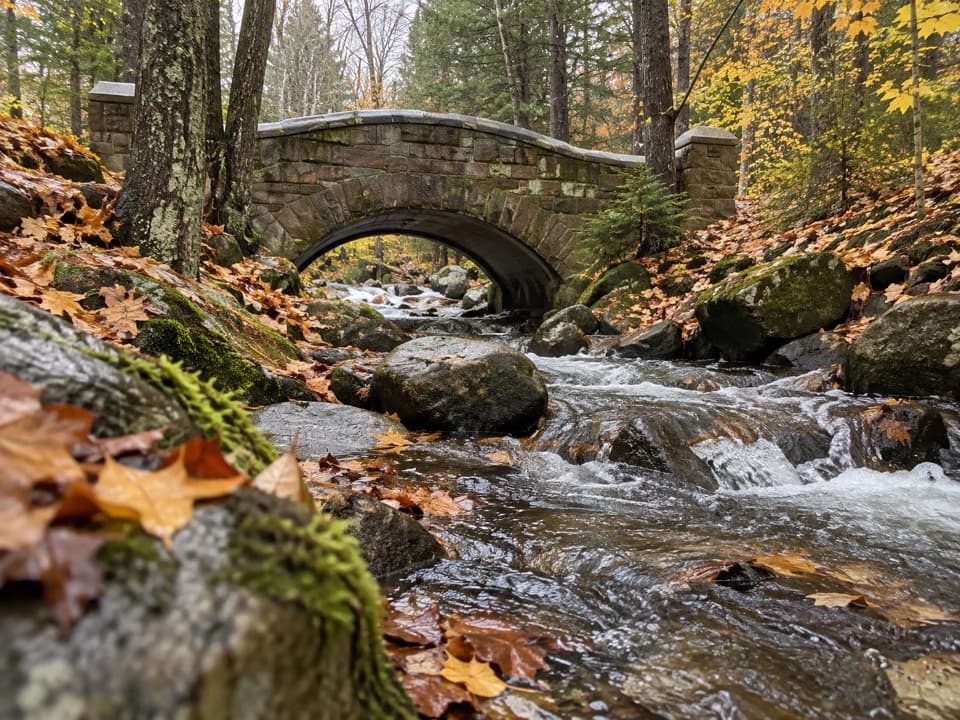 Sight · 0.5 mi awayHadlock Brook BridgeA small stone arch on the car-free Hadlock Loop.
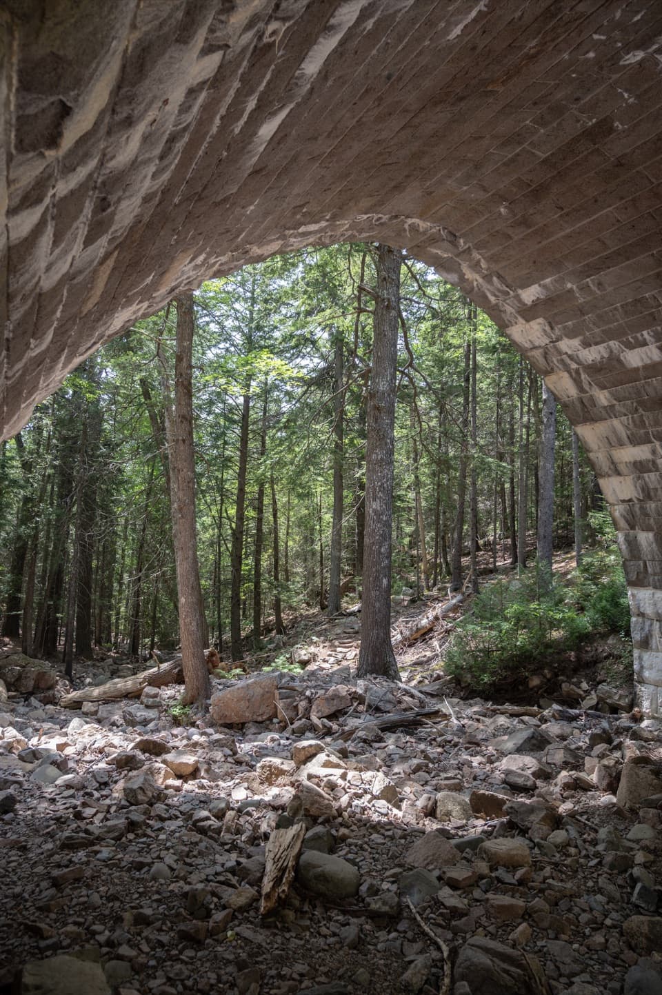 Sight · 0.6 mi awayHemlock BridgeA rare Gothic arch tucked into the car-free carriage roads.
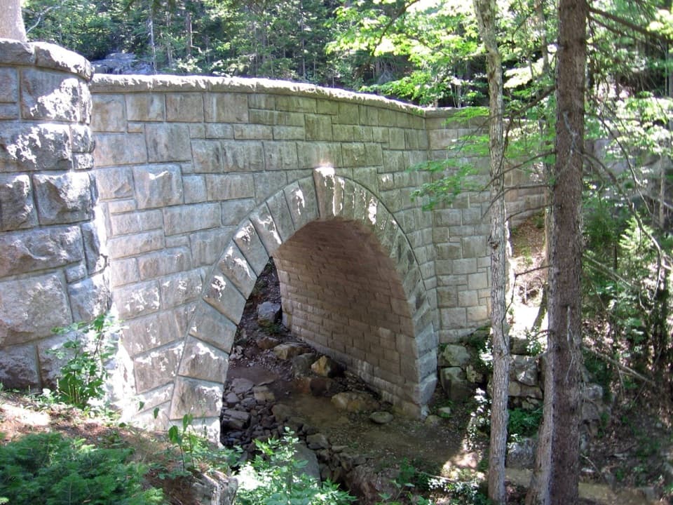 Sight · 0.6 mi awayWaterfall BridgeA 1925 arch frames Hadlock Brook's waterfall along car-free roads.
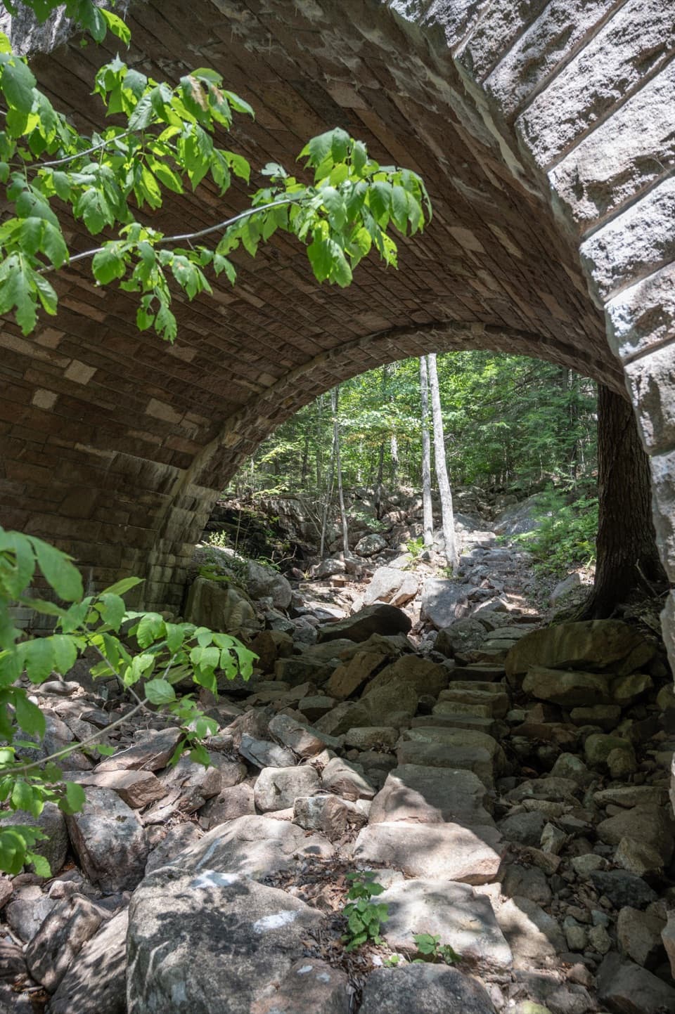 Sight · 1.2 mi awayAmphitheatre BridgeA granite arch curves around two trees toward a waterfall.
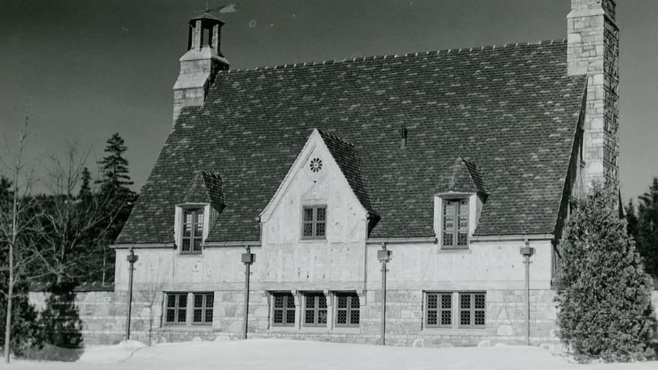 Sight · 1.3 mi awayBrown Mountain GatehouseA 1932 stone-and-brick gate marks the carriage-road entrance.
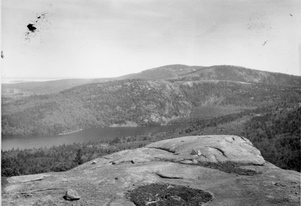 Sight · 1.5 mi awayAcadia MountainA rugged granite summit above Somes Sound
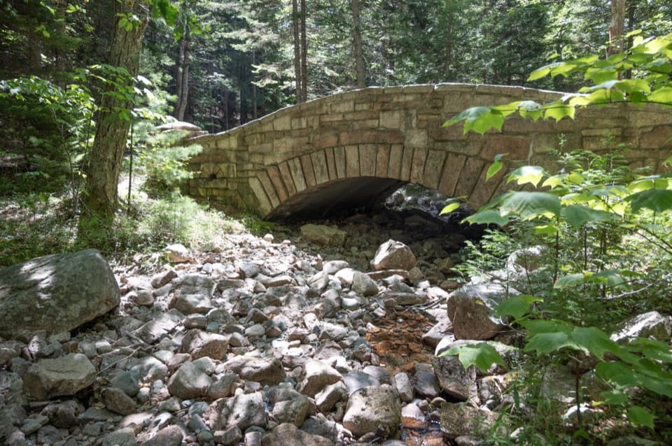 Sight · 1.6 mi awayLittle Harbor Brook BridgeA 1919 granite-faced arch over a shallow brook on car-free roads.
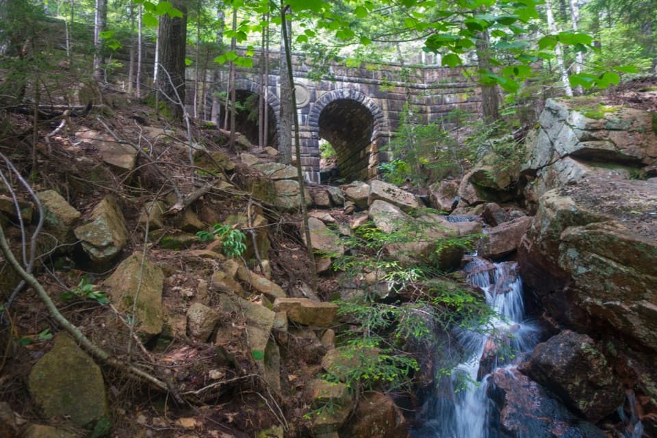 Sight · 1.7 mi awayDeer Brook BridgeTake a carriage-road detour for twin arches and a 1925 medallion.
Parkwolf’s Acadia ranking

The audio tour guide for the drive, plus offline maps, trails, and wildlife heatmaps for when the signal drops.





