Parking
Use the first unmarked pull-off on ME 198 just south of Parkman Mountain parking area; the trailhead is at its north end. This is a roadside pull-off, not the Parkman lot.
Acadia National Park, ME
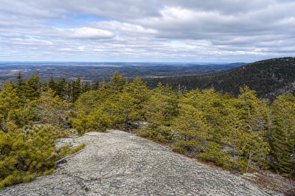
A short, steep climb to a mostly wooded summit.
Overview
Map & elevation
Plan your hike

The highest, rockiest slopes around here are a summer buffet for grizzly bears.
Acadia Tour Guide
Parkwolf is a GPS audio tour guide for Acadia National Park. As you drive, it chimes in with what’s ahead: hidden gems, upcoming stops, history, geology, and wildlife, right through your car’s speakers.
Recorded for this trailhead
Norumbega Access to Bald Peak“You're nearing the Norumbega roadside trail access, where I'd choose the Bald Peak and Parkman Mountain loop for two open summits.”
Plays as you drive up to this trailhead in the Parkwolf Acadia Tour Guide.
More stories near here in the app
“…As we drove through Acadia it gave us a tour, which was really cool. Lots of great info about the parks and how to avoid the crowds. It’s a great travel companion!”


Trail guide
Goat Trail to Norumbega Mountain is a 1.1-mile out-and-back from the roadside pull-off on ME 198 to the 852-foot summit, then back the same way. The climb is about half a mile each direction with roughly 600 feet of gain. Allow about 1 to 1.5 hours. This is a good pick if you want a quick, rugged ascent; do it for the climb, not for a wide summit panorama.
The trail rises quickly over granite boulders and short, steep rock faces. Footing is uneven, and the upper climb involves some scrambling. Higher on the slope, the trees thin enough for a look back toward Bald Peak and Sargent Mountain. That is the more open view; the summit itself is much more enclosed.
Goat Trail meets Norumbega Mountain Trail at the ridge. The official summit marker is just left of the signposts, at 852 feet. Trees block most of the view, including a clear look down to Somes Sound or across to Acadia Mountain, so keep your expectations modest. Norumbega is an old Maine legend: European explorers imagined a wealthy city of that name somewhere in the region, and George Dorr later gave the name to this peak, once called Brown's Mountain.
Start at the north end of the first unmarked pull-off on ME 198, just south of Parkman Mountain parking area. The park lists this route year-round; an Acadia entrance pass is required, with no separate activity fee. Dogs may come on a leash no longer than six feet, though the park discourages pets on the steep route, and it is not recommended for small children. If you want Lower Hadlock Pond and its waterfall, continue onto the other named paths for the separate 3.2-mile Norumbega Mountain Loop.
Wildlife
 130 sightingsBald EagleMost seen around noonSighting map
 21 sightingsPeregrine FalconMost seen around 10 AMSighting map
 396 sightingsWhite-tailed DeerMost seen around 7 PMSighting map
 305 sightingsPorcupineMost seen around 7 PMSighting map
 201 sightingsBeaverMost seen around 7 PMSighting map
 34 sightingsMinkMost seen around 7 PMSighting map
Sighting maps show where each species has been reported across Acadia. Wildlife moves, so no sighting is guaranteed.
Keep exploring
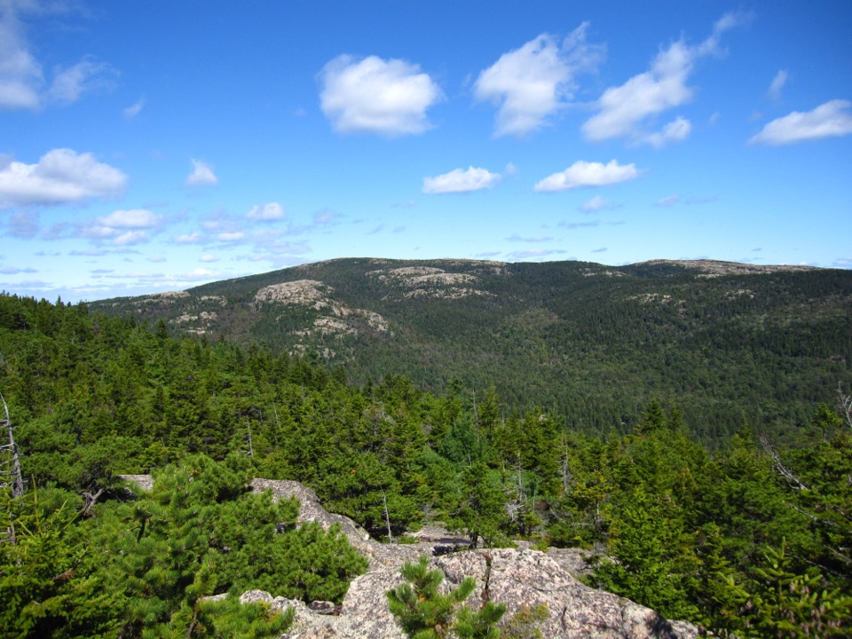 ChallengingBald Peak and Parkman Mountain Loop2.7 mi · 2 hr · At the trailheadA steep granite loop to two peaks with ocean views.
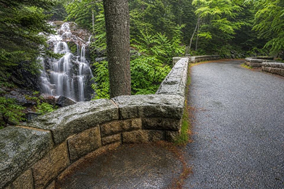 ModerateHadlock Brook Trail1.5 mi · 1.5 hr · At the trailheadA steep, rooty climb beside a waterfall to Sargent’s south ridge.
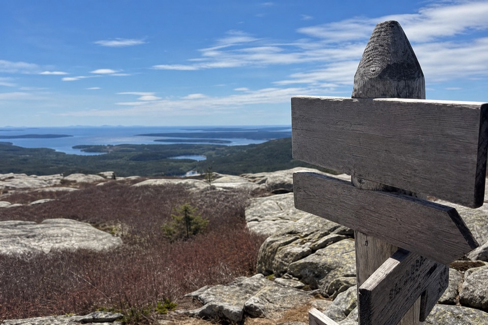 ModerateBald Peak Trail1 mi · 45 min · 0.2 mi awayA short, steep granite climb to islands above Upper Hadlock Pond.
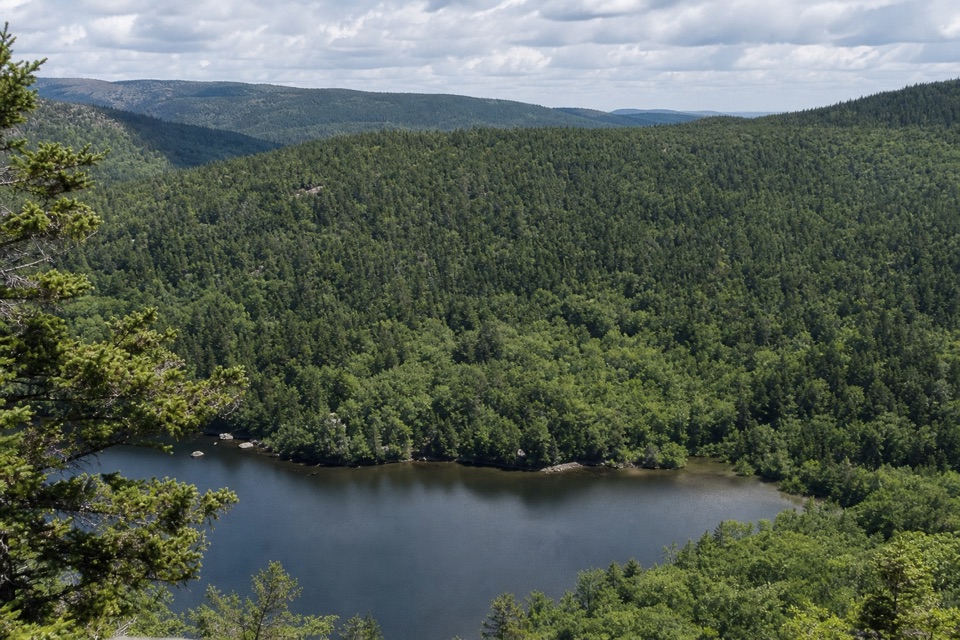 EasyNorumbega Mountain Trail1.3 mi · 45 min · 0.3 mi awayA forested ridge trail eases down to Lower Hadlock Pond.
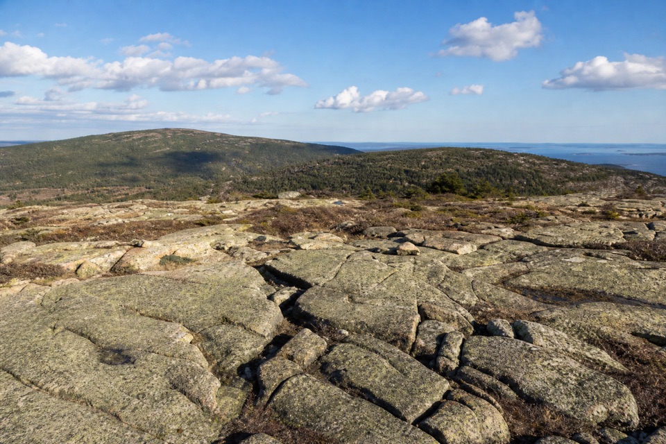 ModerateParkman Mountain Trail2.4 mi · 2 hr · 0.3 mi awayA short granite climb with a view over Somes Sound.
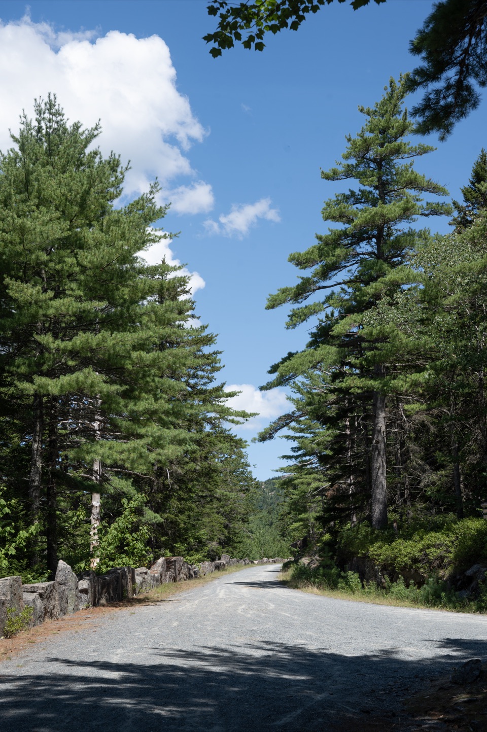 ModerateAround Mountain Loop11.3 mi · 5 hr · 0.3 mi awaySeven historic bridges reward a long day on old carriage roads.
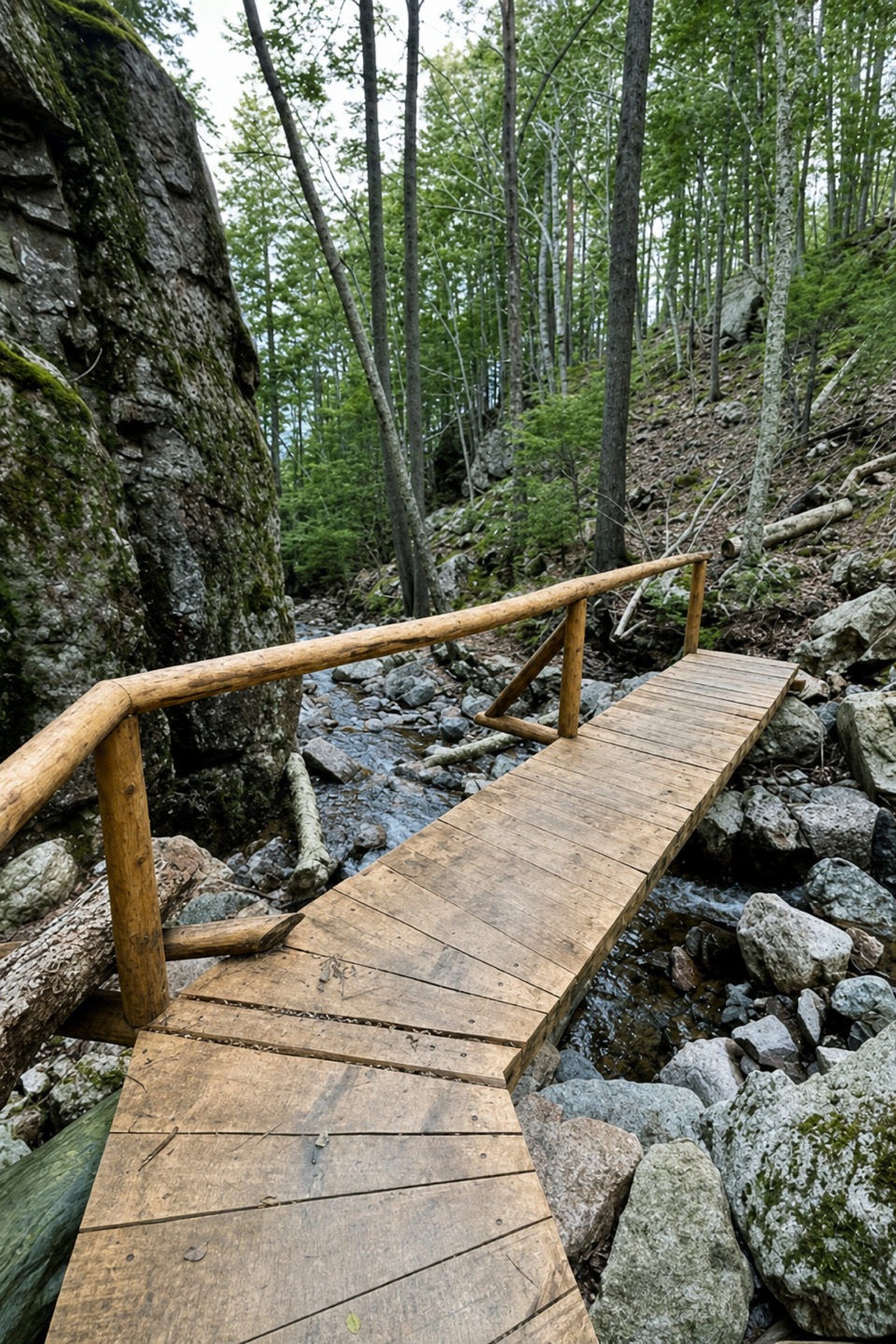 ChallengingMaple Spring Trail1.4 mi · 1.8 hr · 0.3 mi awayA steep brookside gorge with historic stonework and rebuilt bridges
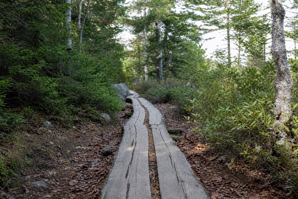 ModerateGolf Course Trail0.5 mi · 30 min · 0.8 mi awayA 1914 spur on Norumbega's wooded southwest flank.
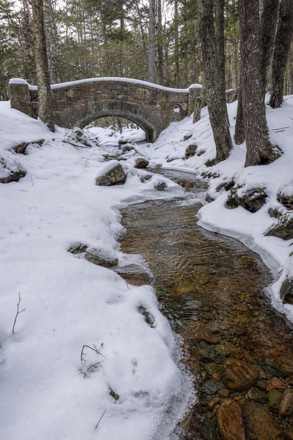 Sight · 0.4 mi awayHadlock Brook BridgeA small stone arch on the car-free Hadlock Loop.
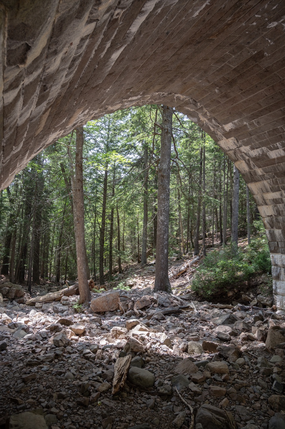 Sight · 0.6 mi awayHemlock BridgeA rare Gothic arch tucked into the car-free carriage roads.
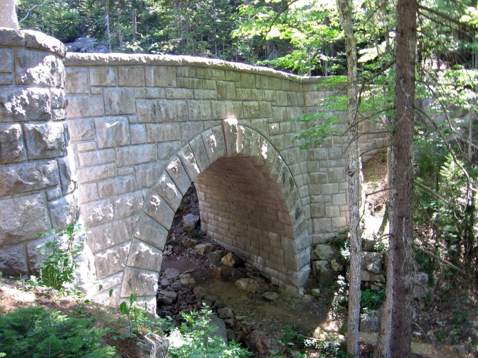 Sight · 0.7 mi awayWaterfall BridgeA 1925 arch frames Hadlock Brook's waterfall along car-free roads.
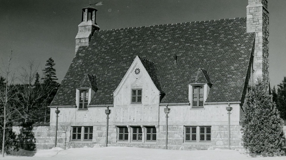 Sight · 1.1 mi awayBrown Mountain GatehouseA 1932 stone-and-brick gate marks the carriage-road entrance.
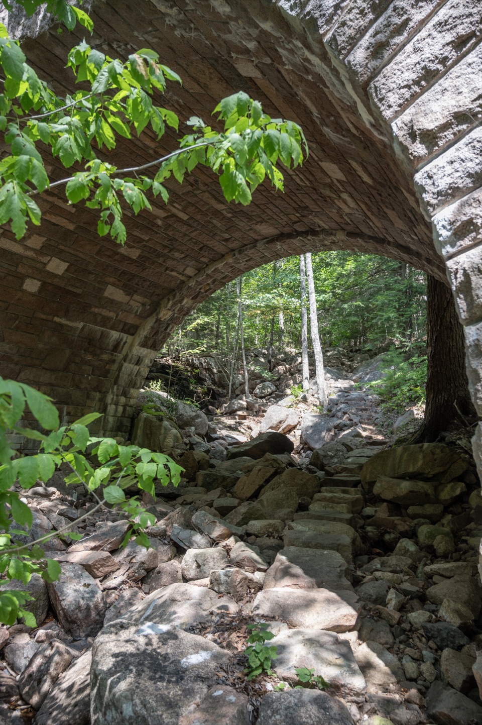 Sight · 1.1 mi awayAmphitheatre BridgeA granite arch curves around two trees toward a waterfall.
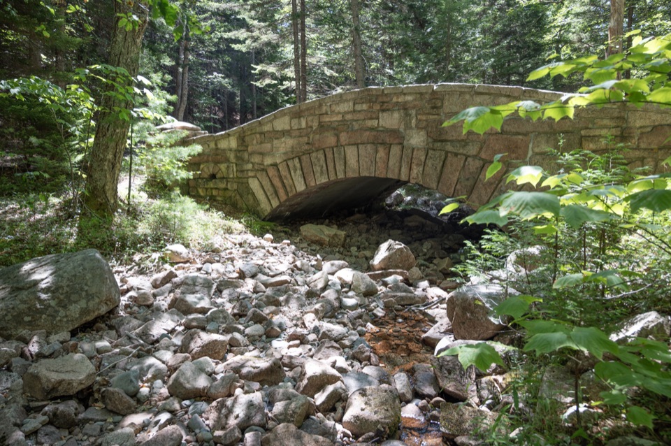 Sight · 1.4 mi awayLittle Harbor Brook BridgeA 1919 granite-faced arch over a shallow brook on car-free roads.
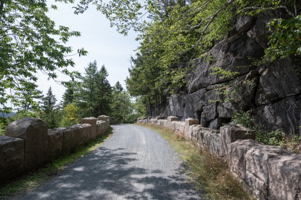 Sight · 1.5 mi awayCliffside BridgeA 1932 stone bridge with castle turrets above Jordan Stream.
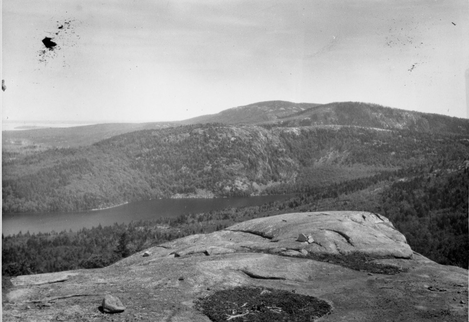 Sight · 1.6 mi awayAcadia MountainA rugged granite summit above Somes Sound
Parkwolf’s Acadia ranking

The audio tour guide for the drive, plus offline maps, trails, and wildlife heatmaps for when the signal drops.





