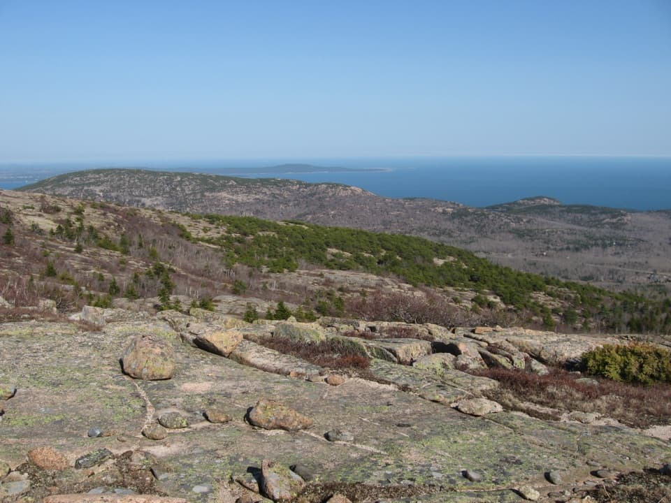
Parking
Start at Compass Harbor Trailhead off Main Street in Bar Harbor; the opposite end is the Schooner Head Overlook parking area. Arrange a pickup or plan the return walk before starting.
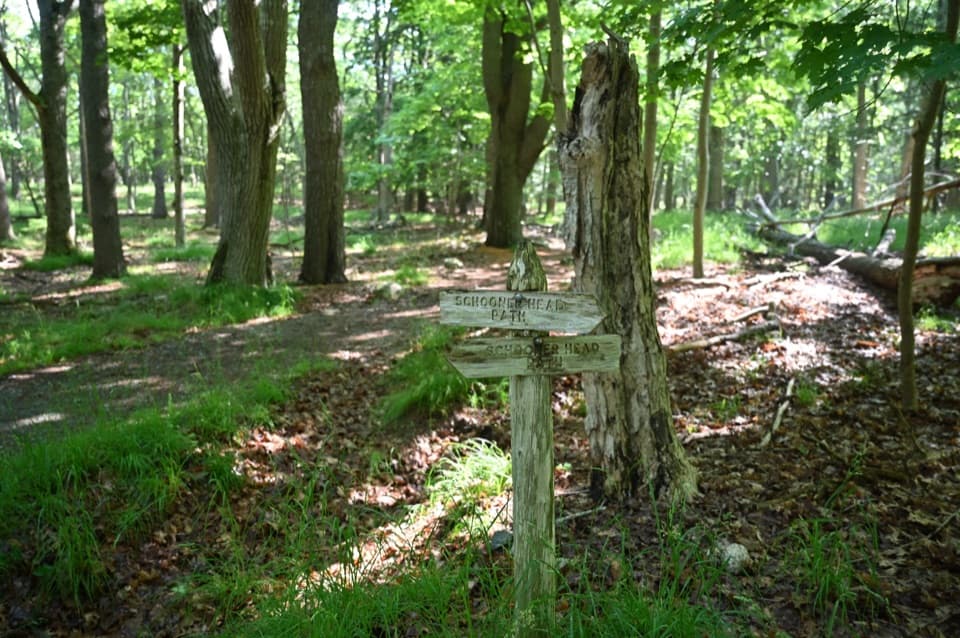
Acadia National Park, ME
An easy village-to-coast walk through woods and wetlands.
Overview
Map & elevation
Plan your hike

The highest, rockiest slopes around here are a summer buffet for grizzly bears.
Acadia Tour Guide
Parkwolf is a GPS audio tour guide for Acadia National Park. As you drive, it chimes in with what’s ahead: hidden gems, upcoming stops, history, geology, and wildlife, right through your car’s speakers.
See the Acadia audio tourRecorded for this trailhead
Compass Harbor and Dorr’s Oldfarm“You're coming up on the Compass Harbor trail access, for a short walk to the coast and George Dorr's former home, Oldfarm.”
Plays as you drive up to this trailhead in the Parkwolf Acadia Tour Guide.
More stories near here in the app
“…As we drove through Acadia it gave us a tour, which was really cool. Lots of great info about the parks and how to avoid the crowds. It’s a great travel companion!”


Trail guide
Schooner Head Path is a 2.9-mile, one-way walk from Compass Harbor Trailhead to Schooner Head Overlook, including a short Compass Harbor Trail connector at the start. The named path itself is about 2.7 miles; the extra distance gets you from the trailhead to its start. The route is mostly level gravel, so allow about 1.5 hours one way. Arrange a pickup or budget about 5.8 miles if you plan to walk back along the same line.
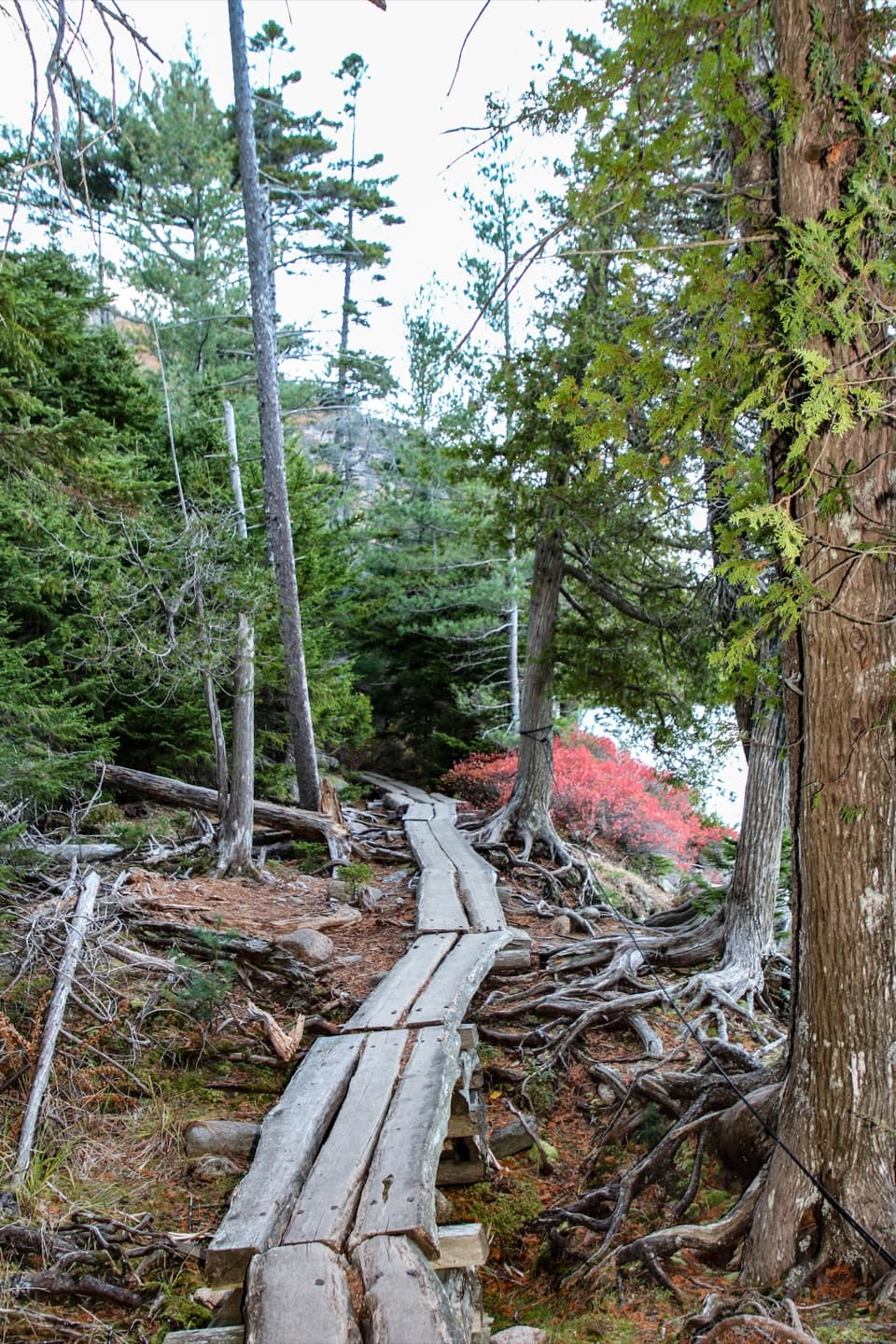
After the connector, most of the walk follows alongside Schooner Head Road on a narrow, packed-gravel path. Wooded sections and wetlands break up the road-side stretch. Near the Precipice junction, dense plants hide much of the water; the path briefly bends inland around another marsh before heading back toward the coast.
The south end brings you to the Schooner Head Overlook parking area. A separate, old paved path descends steeply from there to a headland and rough rocky shore; it is not part of this route. Across the road, an optional unmarked detour reaches a short scramble and a view over Thrumcap, then old homestead remains and a cobble beach. That coastal detour is outside the mapped 2.9 miles. If you take it, the view toward Thrumcap is the place to frame the offshore rock, with seabirds only if they're there.
This walk is part of a village-connector network linking Bar Harbor neighborhoods with park routes. Acadia allows pets on most trails; keep them on a leash no longer than six feet. Food, drinking water and toilets were not confirmed along the path or at these access points. I couldn't verify a return bus stop for this specific route, so check current service or arrange a pickup.
Wildlife
 131 sightingsBald EagleMost seen around noonSighting map
 21 sightingsPeregrine FalconMost seen around 10 AMSighting map
 403 sightingsWhite-tailed DeerMost seen around 7 PMSighting map
 307 sightingsPorcupineMost seen around 7 PMSighting map
 205 sightingsBeaverMost seen around 7 PMSighting map
 34 sightingsMinkMost seen around 7 PMSighting map
Sighting maps show where each species has been reported across Acadia. Wildlife moves, so no sighting is guaranteed.
Keep exploring
 EasyCompass Harbor Trail0.8 mi · 38 min · At the trailheadA short shore loop with rocky views and the Dorr estate ruins.
 ChallengingChamplain North Ridge Trail2 mi · 1.8 hr · 0.8 mi awayA short, steep climb to Champlain’s open ledges and island views.
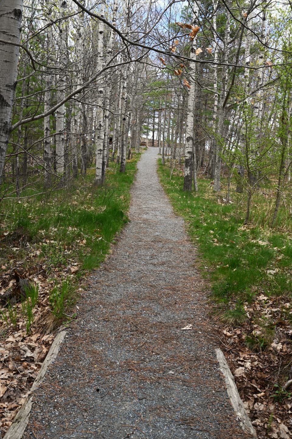 EasyGreat Meadow Loop1.8 mi · 1 hr · 0.8 mi awayA level wetland loop at the edge of Bar Harbor.
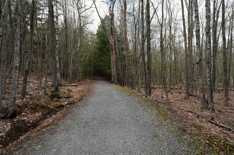 EasyHemlock Trail0.5 mi · 24 min · 0.9 mi awayA short forest link for stitching together the Dorr-side trails.
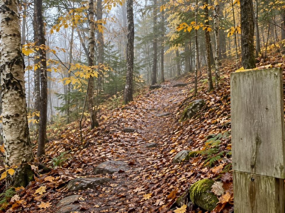 EasyStratheden Path0.7 mi · 30 min · 0.9 mi awayA woodland link from Hemlock Trail to Park Loop Road.
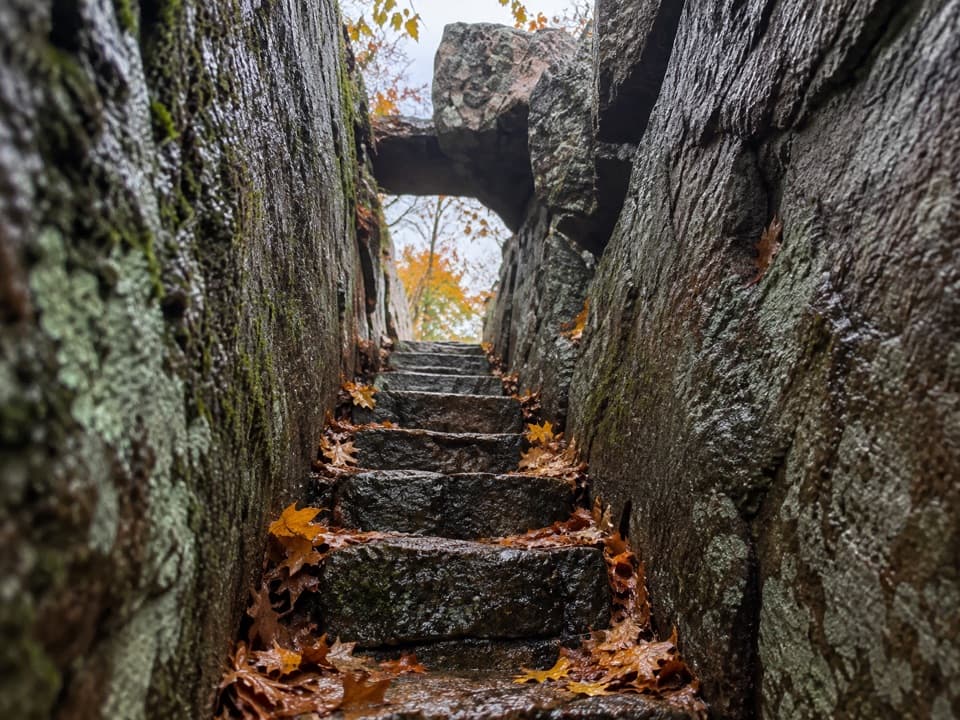 ModerateHomans Path0.6 mi · 45 min · 0.9 mi awayTwo narrow granite passages reward a short, steep climb.
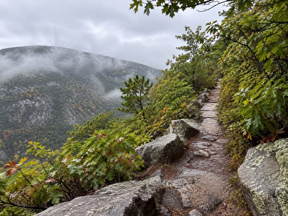 ChallengingSchiff Path1.1 mi · 1 hr · 1 mi awayA historic Dorr Mountain connector with a steep granite finish.
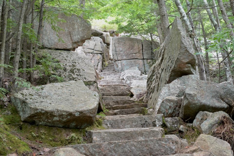 ModerateEmery Path1.2 mi · 1.3 hr · 1 mi awayA steep memorial staircase climbs from Sieur de Monts Spring
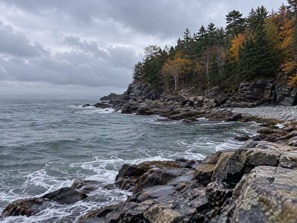 Sight · 0.2 mi awayCompass Harbor and OldfarmA short wooded walk leads from Dorr's estate ruins to rocky shoreline.
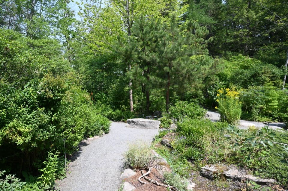 Sight · 0.9 mi awayWild Gardens of AcadiaA compact, labeled tour through native plant habitats.
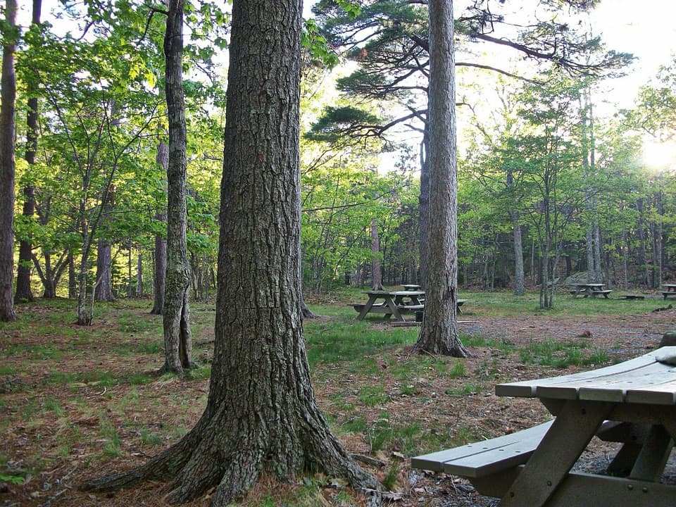 Picnic area · 1 mi awayBear Brook Picnic AreaA wooded lunch stop with grill-ready pits and accessible toilets.
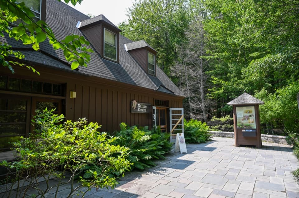 Visitor center · 1 mi awaySieur de Monts Nature CenterA smart first stop for Acadia’s trail choices and natural history.
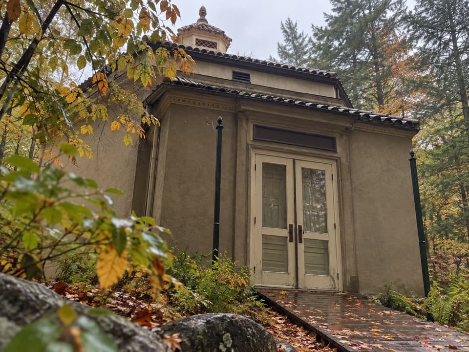 Sight · 1 mi awayAbbe Museum at Sieur de Monts SpringThe Abbe’s original 1928 museum, tucked into the Sieur de Monts woods.
 Sight · 1.8 mi awayBar IslandCross from Bar Harbor to a wooded island over the exposed seabed.
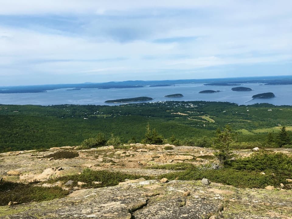 Sight · 2 mi awayCadillac MountainA short summit walk opens onto an island-and-ocean panorama.
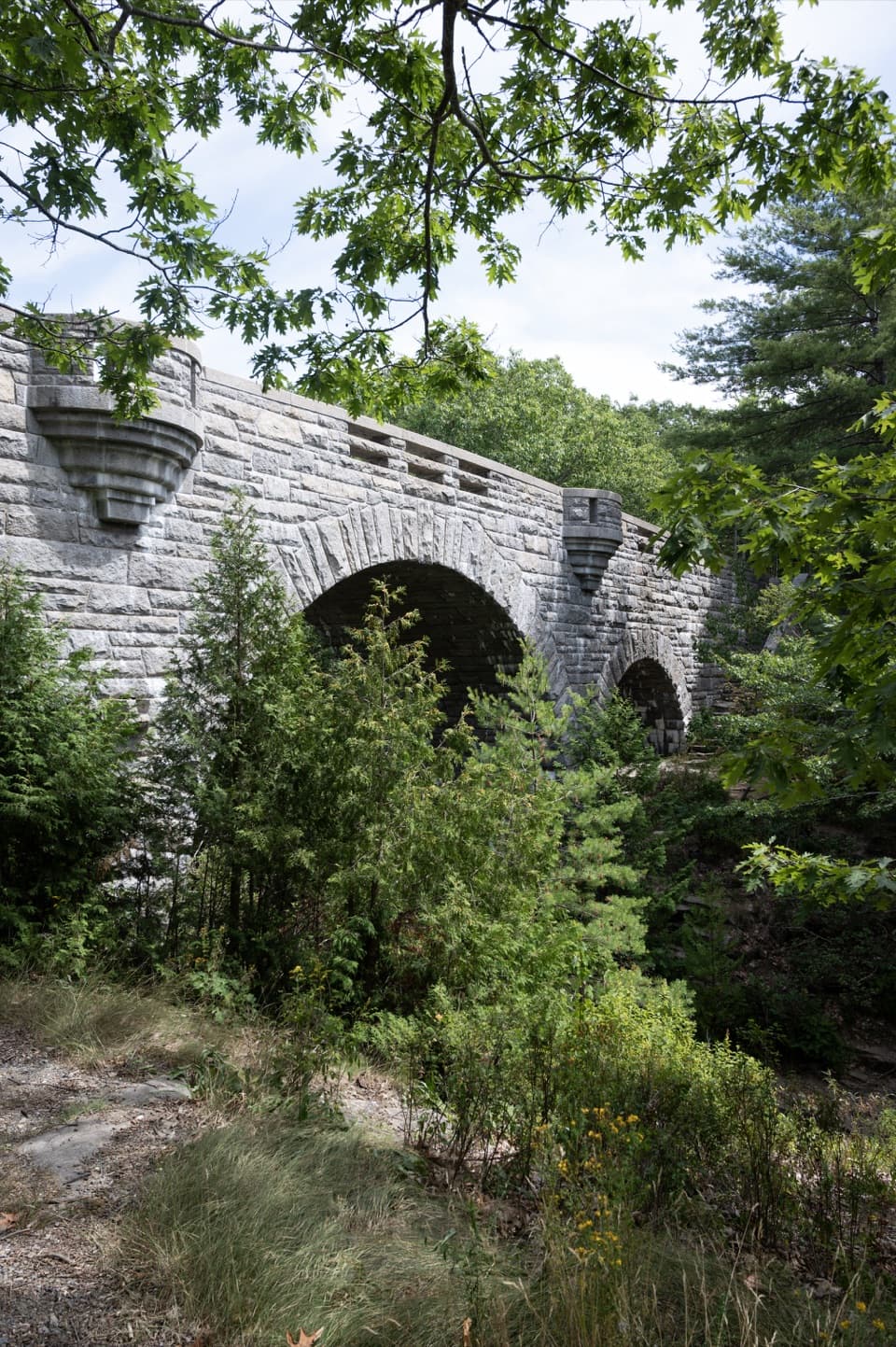 Sight · 2.3 mi awayDuck Brook BridgeA 207-foot, three-arch landmark on the car-free carriage roads.
Parkwolf’s Acadia ranking

The audio tour guide for the drive, plus offline maps, trails, and wildlife heatmaps for when the signal drops.