Lake of Two Rivers Picnic Ground and Beach in Algonquin Provincial Park

Picnic area · Algonquin Provincial Park

Lake of Two Rivers Picnic Ground and Beach

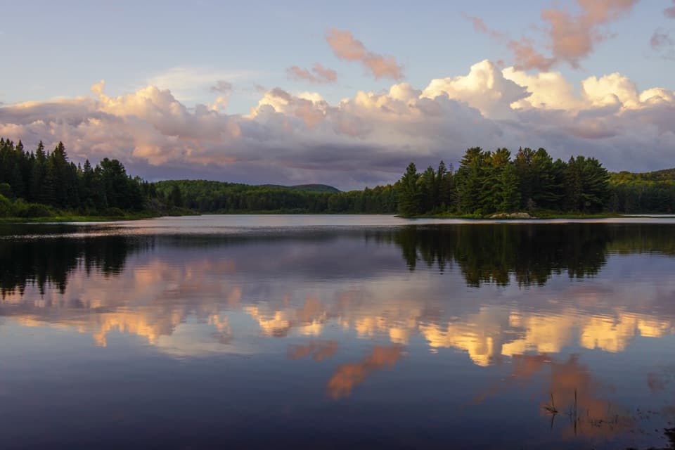
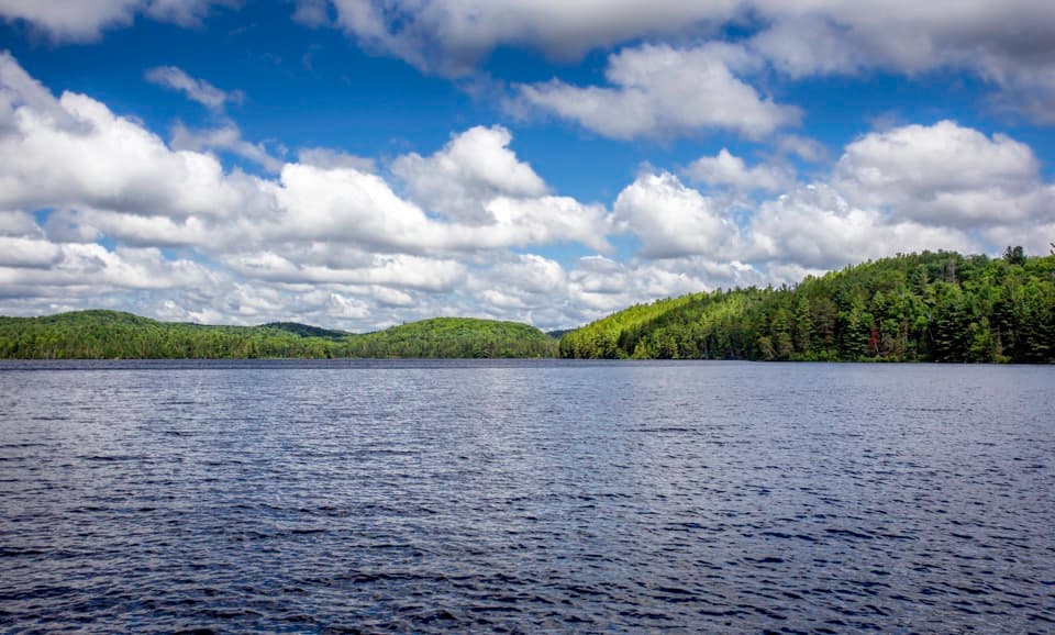
A beachside lunch stop with a view across the lake.

Type
Picnic area
Nearest trail
2.8 km
Audio stories
4 nearby
  • Parking
  • Picnic tables
  • Restrooms

Hear the audio tour

Lake of Two Rivers Picnic Ground and Beach

Overview

About Lake of Two Rivers Picnic Ground and Beach

Why stop

  • Picnic tables, swimming and lake scenery fit into one Highway 60 stop.

Heads up

  • Swimming is unsupervised, with no lifeguards posted.

Map

Where it is

Loading the Algonquin map
Full map
Picnic areaLake of Two Rivers Picnic Ground and Beach45.58537, -78.47858
Keep this map with you offline in the Parkwolf app

Plan your stop

Before you go

4 active Algonquin alerts

  • ClosureProvoking Falls Bridge ClosedThe Provoking Falls bridge on the Highland Backpacking Trail is closed because of safety concerns; the bridge has been removed. - Use the posted reroute, which adds 2.5 km.Official details
  • CautionLow Water on Backcountry Canoe RoutesOntario Parks currently lists low-water alerts for six backcountry canoe-route sections: - Varley Lake from Carl Wilson Lake - Latour Creek north of Rosebary Lake - Carcajou Creek north towards…Official details

See all 4 alerts
A park ranger sits on a dash-mounted phone, talking, as Parkwolf’s Tour Guide plays “Army Cutworm Moths: A Grizzly Bear Buffet” on Grand Loop Road below Dunraven Pass in Yellowstone
Parkwolf Tour GuideThe highest, rockiest slopes around here are a summer buffet for grizzly bears.

Algonquin Tour Guide

Your drive to Lake of Two Rivers Picnic Ground and Beach, narrated.

Parkwolf is a GPS audio tour guide for Algonquin Provincial Park. As you drive, it chimes in with what’s ahead: hidden gems, upcoming stops, history, geology, and wildlife, right through your car’s speakers.

See the Algonquin audio tour

Recorded for this place

Lake of Two Rivers Picnic Ground and Beach
0:00 / 0:24
“Lake of Two Rivers Picnic Ground and Beach is ahead, an easy place for lunch by the water without adding a hike.”

Plays as you drive up to Lake of Two Rivers Picnic Ground and Beach in the Parkwolf Algonquin Tour Guide.

More stories near here in the app

  • Killarney Lodge
  • East Beach Picnic Ground and Beach
  • Lake of Two Rivers Store and Cafe
  • Pog, Kearney and Whitefish Lake Campgrounds
  • 107 audio storiesacross Algonquin’s roads, triggered by GPS as you drive
  • Wildlife heatmapsfor Moose, Eastern Wolf, Black Bear, and 13 more
  • Works offlinemaps, 39 trails, 66 places, and audio download before you lose signal
  • CarPlay readysimple controls built for the drive
★★★★★
“Fantastic app with many points of information… It’s great to just turn on while you’re driving and it gives you an audio tour of the national Park. We love it!!!!”
JMJamesApp Store review
Download Parkwolf on the App StoreGet Parkwolf on Google Play

4.7 from 8,600+ ratings

Guide

More about Lake of Two Rivers Picnic Ground and Beach

A beach stop on Highway 60Lake of Two Rivers Picnic Ground and Beach is a developed day-use beach and picnic area on Lake…

Lake of Two Rivers Picnic Ground and Beach is a developed day-use beach and picnic area on Lake of Two Rivers, at km 33.8 on Algonquin’s Highway 60 corridor. It makes an easy lunch break if you want a lakeside pause or a swim without adding a hike. Swimming is unsupervised; there are no lifeguards at Algonquin’s beaches. A daily vehicle permit is required for park day use.

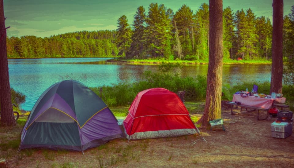
Picnic and practical detailsPicnic tables and toilets serve the day-use area.

Picnic tables and toilets serve the day-use area. The toilet type is not specified for this site, and campground showers or comfort stations are separate. The Lake of Two Rivers Store, by the campground, is another stop for basic groceries and a snack bar; it is not part of the beach area and operates seasonally. A boat launch is listed at East Beach, a different day-use site, so don’t plan to launch from here based on the shared lake name.

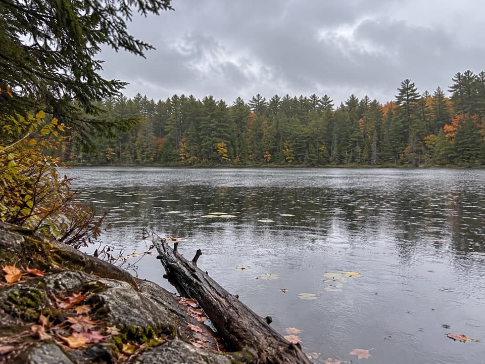
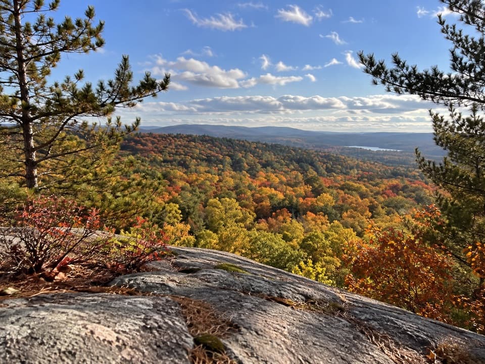
Across the lakeThe shoreline opens onto the water and wooded hills on the opposite side.

The shoreline opens onto the water and wooded hills on the opposite side. Fall colour is a recurring draw; visitors also describe this as a pleasant place to stop for lunch even when they aren’t swimming. For a photo, include some of the lake in the foreground and the autumn-coloured ridge beyond it. You can get the lake view without a hike; the draw here is a swim, picnic and pause by the water.

Wildlife

Wildlife in Algonquin

All Algonquin wildlife maps

Sighting maps show where each species has been reported across Algonquin. Wildlife moves, so no sighting is guaranteed.

Keep exploring

Near Lake of Two Rivers Picnic Ground and Beach

See it all on the map

Trails nearby

More stops nearby

Parkwolf’s Algonquin ranking

Top sights in Algonquin

All 66 places
  1. 1Barron Canyon LookoutSight
  2. 2Algonquin Logging MuseumSight
  3. 3Lake Opeongo Access Point and Opeongo StoreSight
  4. 4Canoe Lake Access Point and Portage StoreSight
  5. 5Booth's Rock LookoutSight
  6. 6LookoutSight

Take Parkwolf to Algonquin.

The audio tour guide for the drive, plus offline maps, trails, and wildlife heatmaps for when the signal drops.

4.7 from 8,600+ ratings

Download Parkwolf on the App StoreGet Parkwolf on Google Play