Pros & cons
PROS
- One of the few permitted swim spots in the valley during summer.
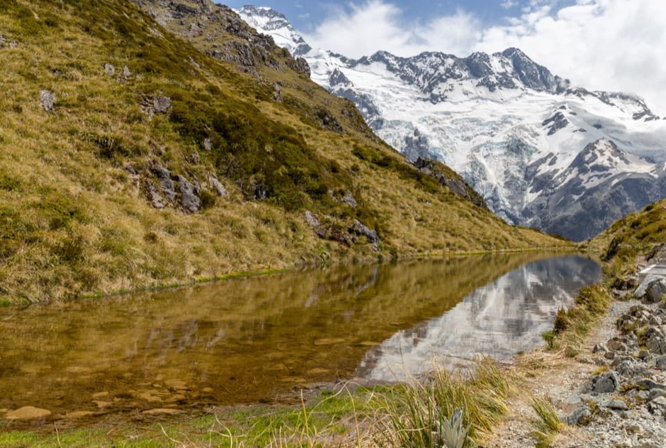
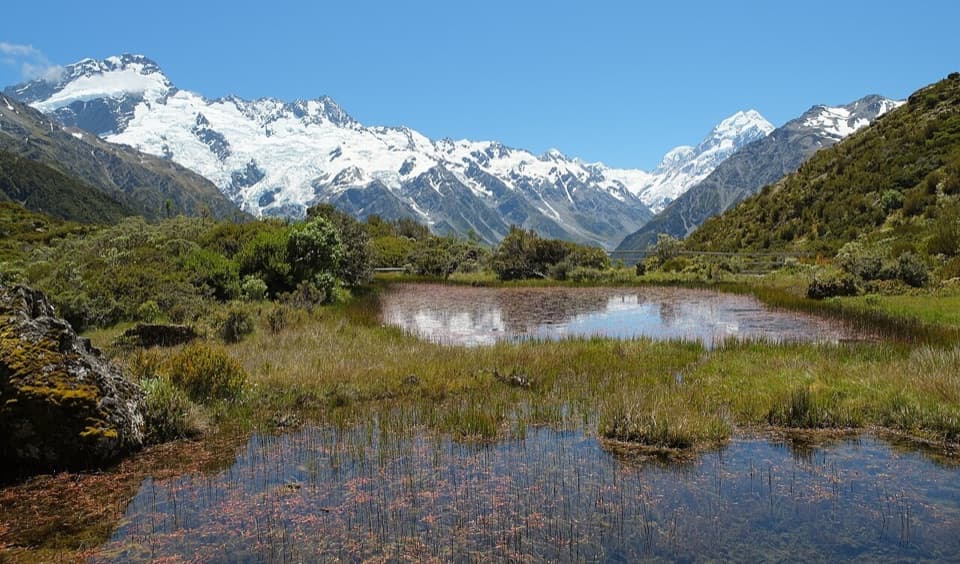
- Mirror‑like reflections from the lakeshore on calm days.
CONS
- Shoreline paths can be muddy and overgrown with thorny scrub.
- Some sections near the lakes are less clearly marked than the main track.
- Lake views are intimate; the big glacier scenery is just above, not here.
Blue Lakes Car Park at the end of Tasman Valley Road (about 7 km from SH80). Shelter, toilets, and a water fountain at the trailhead.
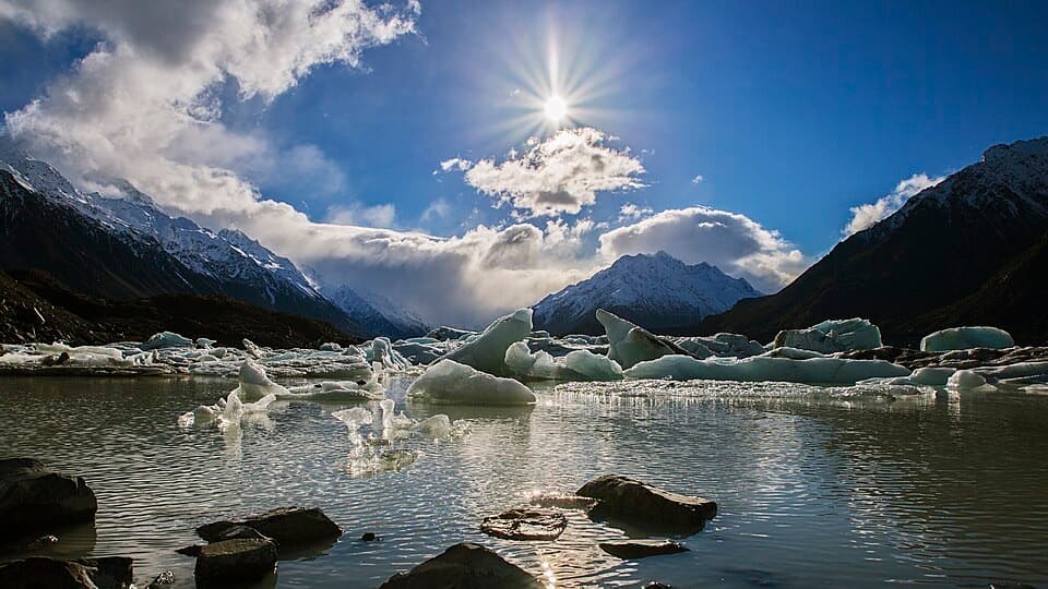
Alpine weather changes quickly; track is stepped and can be slick. The lakeshore has rough, overgrown sections. Do not enter Tasman Lake—the water is ~3°C and ice can be unstable. No recreational drones.
Overview
This is the bite‑size add‑on in Tasman Valley: a short out‑and‑back that passes the Blue Lakes and tops out at a moraine‑wall viewpoint. The standard walk is 0.93 miles total (1.5 km return) with about 282 ft/86 m of climbing, mostly on rock steps, and typically takes around 30 minutes. The signed Blue Lakes spur itself is a very brief, ~5‑minute return detour off the main path.
What You’ll See
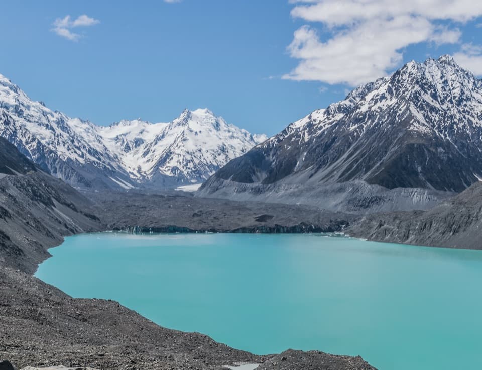
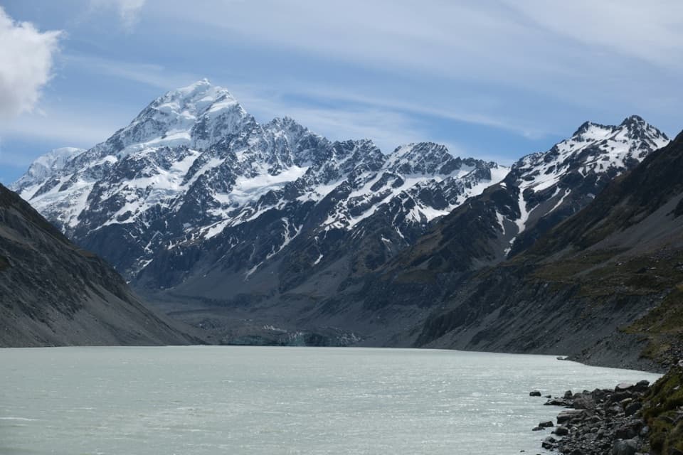
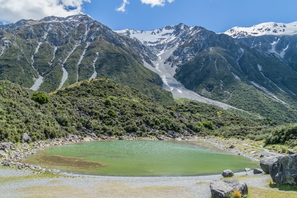
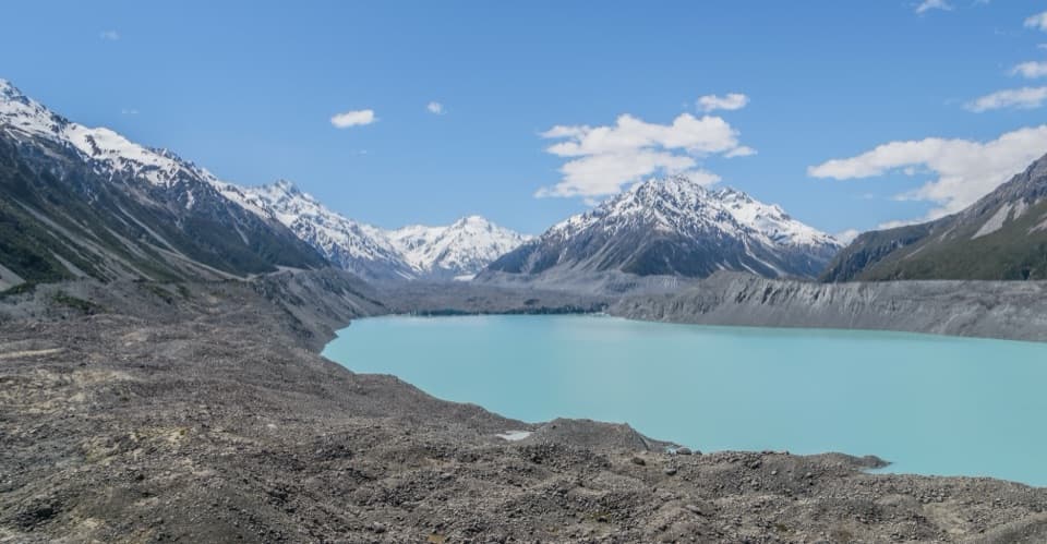
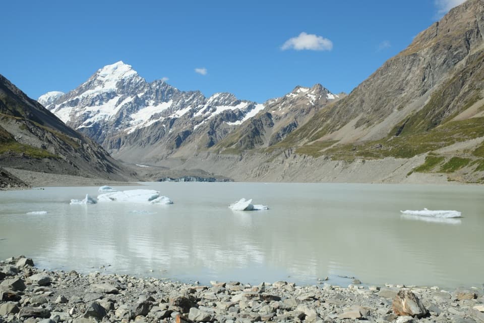
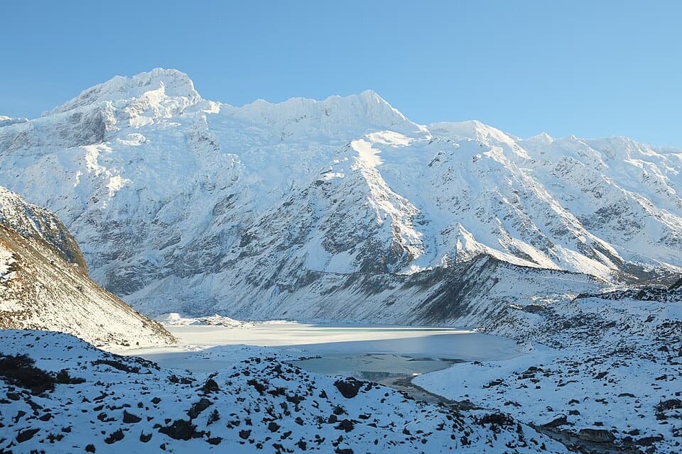
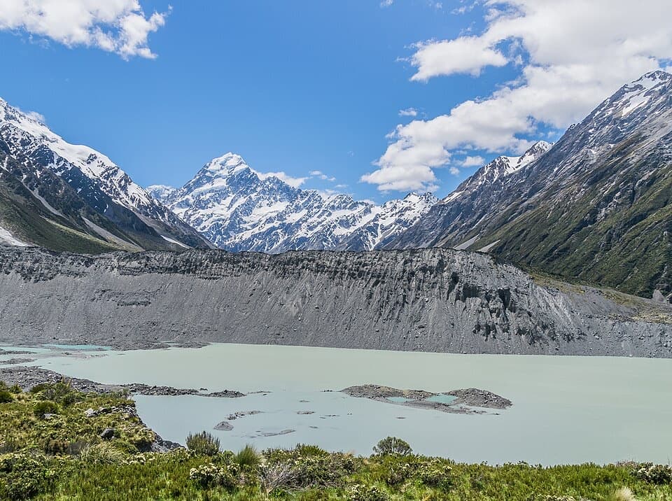
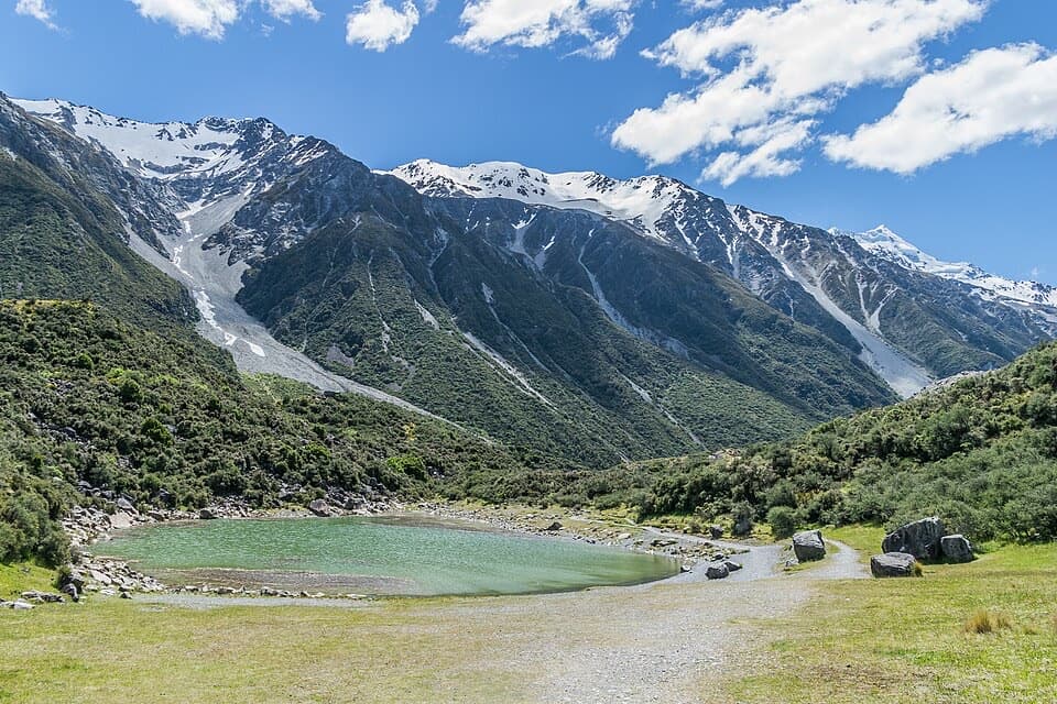
Down at the lakeshore, expect small, calm tarns framed by moraine hills. Despite the name, the lakes are often green now—cut off from the glacier, algae has taken over. From the steps above, you get a nice look down onto the pools; continue a touch higher to the Tasman Lake/Tasman Glacier viewpoint for the big scene: Tasman Lake, distant icebergs, and the mountains at the head of the valley.
Route Notes
Start at Blue Lakes Car Park and follow the well‑formed gravel track with rock steps. Partway up, turn left at the clearly signed junction for the lakes; the shoreline can be muddy and the informal paths here are rougher and occasionally overgrown with spiky scrub. Rejoin the main track to continue the stepped climb (roughly 300 steps total to the viewpoint) or head back the way you came.
Geology in Plain Sight
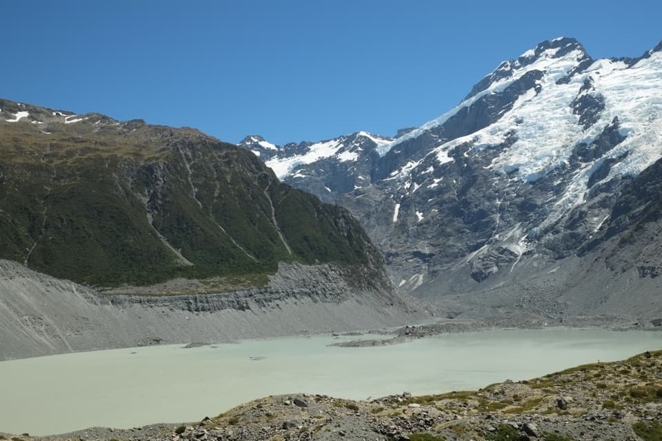
You’re walking among terminal moraines left by the retreating Haupapa/Tasman Glacier—New Zealand’s longest (about 22–23 km) and still pulling back over 100 m per year. Tasman Lake only began forming in 1974 and has been expanding since, which is why the viewpoint delivers such an eye‑opening landscape of new water where ice used to be.
Best Time to Hike
All seasons work, but alpine weather flips fast—pack layers. This area is exposed to sun and wind; bring water and sun protection. For photography, check the lakes from the steps first; if the water is calm, drop to the shore for mirror‑like reflections. Summer is the move if you’re after a quick (legal) dip in the Blue Lakes.
Tips and Safety
Sturdy footwear is smart—the steps and shoreline can be slick when wet. Long pants help if you poke around the overgrown edges. Do not enter Tasman Lake: it’s near‑freezing (around 3°C), and walking on ice or climbing icebergs is dangerous. Drones aren’t allowed without a permit. Facilities at the car park include a shelter, toilets, and a water fountain.
Elevation
0.9 mi · 30 minNear Blue Lakes Track
All places →All trails →
Aoraki / Mount CookNew Zealand’s highest peak ringed by glaciers and epic trailsScenic Viewpoint
Department of Conservation Visitor CentreRanger hub with exhibits and big‑window views of AorakiVisitor Center · Exhibit
Hooker GlacierTerminal glacier feeding iceberg-dotted Hooker LakeTrailhead · Parking
Kirikirikatata / Mount Cook RangeThe jagged skyline above Hooker Valley seen on classic walks
Mueller Hut RouteSteep alpine climb to a red hut with knockout Aoraki glacier viewsChallenging · 6 mi · 7 hr
Sealy Tarns TrackSteep stair climb to mirrorlike tarns with Aoraki viewsChallenging · 3.7 mi · 3.5 hr
Ball Pass TrackBig, committing alpine crossing with Aoraki front row viewsChallenging · 18.4 mi · 16.5 hr
Kea Point TrackShort, easy climb to a front-row Mueller Glacier and Aoraki viewEasy · 2.1 mi · 1 hr