Tasman Lake and River Track in Aoraki / Mount Cook National Park

#7 of 15 trails in Aoraki / Mount Cook

Aoraki / Mount Cook National Park, SI

Tasman Lake and River Track

Walk old moraine to a lake born in 1974

Photo: Public Domain
Length
2.6km
Time
50min
Elev. change
26m
Difficulty
Easy
  • No dogs
  • High point 741 m

Hear the audio tour

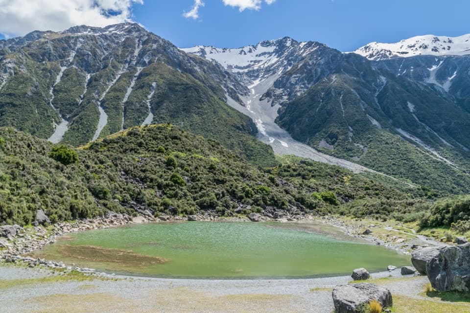
Tasman Glacier View and the Green Blue Lakes

Overview

About Tasman Lake and River Track

Why go

  • A close glacier-lake view in a short walk
  • Old moraines and plant succession make the route interesting underfoot

Heads up

  • Rock steps make it rougher than the distance suggests
  • No drinking water or phone coverage at the trailhead

Map & elevation

The route

Loading the Aoraki / Mount Cook map
Full map
Elevation715–741 m
TrailheadTasman Valley / Blue Lakes Car Park-43.69799, 170.16295
Keep this map with you offline in the Parkwolf app

Plan your hike

Before you go

Parking

Follow Tasman Valley Road about 7 km from SH80 to its end; the Blue Lakes / Tasman Valley car park is the access for this route. It gets very busy November–April, and overflow parking may be along the road. Picnic tables, a day shelter and seasonal toilets are at the car park, but there is no drinking water.

Safety

The lake is dangerously cold; stay out of the water and off winter ice, and do not climb icebergs, which can tip. Alpine weather changes quickly, with snow, freezing temperatures and strong winds possible year-round.

A park ranger sits on a dash-mounted phone, talking, as Parkwolf’s Tour Guide plays “Army Cutworm Moths: A Grizzly Bear Buffet” on Grand Loop Road below Dunraven Pass in Yellowstone
Parkwolf Tour GuideThe highest, rockiest slopes around here are a summer buffet for grizzly bears.

Aoraki / Mount Cook Tour Guide

Your drive to Tasman Lake and River Track, narrated.

Parkwolf is a GPS audio tour guide for Aoraki / Mount Cook National Park. As you drive, it chimes in with what’s ahead: hidden gems, upcoming stops, history, geology, and wildlife, right through your car’s speakers.

Recorded for this trailhead

Tasman Glacier View and the Green Blue Lakes
0:00 / 0:23
“Up ahead is the Tasman Valley car park, the start for a broad view across Tasman Lake to the glacier.”

Plays as you drive up to this trailhead in the Parkwolf Aoraki / Mount Cook Tour Guide.

More stories near here in the app

  • Perfume from Speargrass
  • Freda du Faur’s Six-Hour Ascent
  • The Night Aoraki Lost Its Summit
  • One River, Many Channels
  • 24 audio storiesacross Aoraki / Mount Cook’s roads, triggered by GPS as you drive
  • Wildlife heatmapsfor Kea, Rockwren, New Zealand Falcon, and 13 more
  • Works offlinemaps, 15 trails, 30 places, and audio download before you lose signal
  • CarPlay readysimple controls built for the drive
★★★★★
“Fantastic app with many points of information… It’s great to just turn on while you’re driving and it gives you an audio tour of the national Park. We love it!!!!”
JMJamesApp Store review
Download Parkwolf on the App StoreGet Parkwolf on Google Play

4.7 from 8,600+ ratings

Trail guide

Hiking Tasman Lake and River Track

A short walk to the glacier lakeTasman Lake and River Track is an out-and-back from the Blue Lakes car park at the end of…

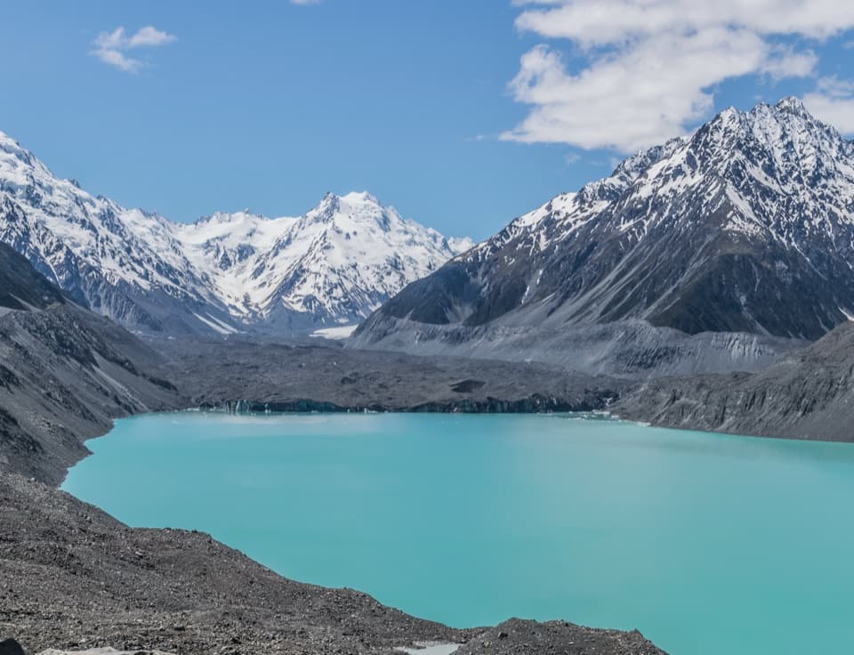
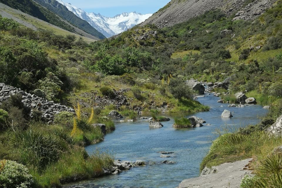
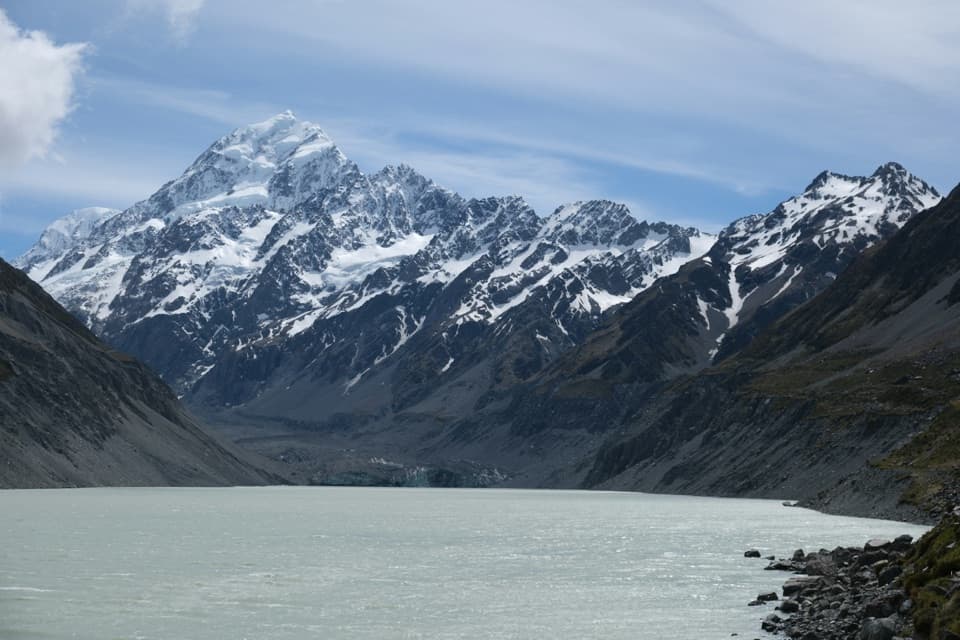
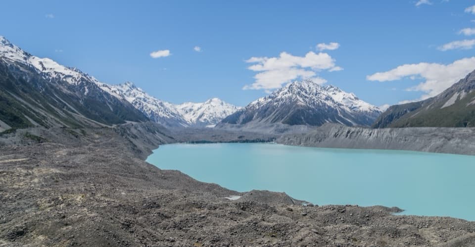
Tasman Lake and River Track is an out-and-back from the Blue Lakes car park at the end of Tasman Valley Road to a viewpoint over the terminal lake below Haupapa / Tasman Glacier. The Department of Conservation lists 2.6 km return and about 50 minutes; a cross-reference gives 2.5 km. The route line follows the named lake-track path to the lake. DOC also describes a further right-hand branch toward the source of the Tasman River, but its line and whether it is included in those distances are unclear. Check the signs at the fork and allow extra time if you take it.

Expect steps and rough rockThe route climbs gradually over old moraine, with rock steps underfoot.

The route climbs gradually over old moraine, with rock steps underfoot. It’s short, but it isn’t a smooth stroll. DOC calls it an easy-to-intermediate walking track and estimates about 50 minutes return. Its current page reports an elevation change of 86 m, while the park brochure says no gain; the mapped terrain profile is gentler than that figure. Plan for a steady, stepped walk rather than counting on an exact climb.

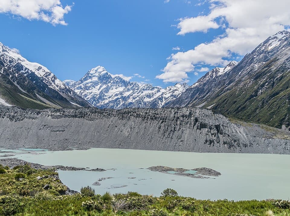
A lake born in 1974The grey moraine ridges are the old edge of Haupapa / Tasman Glacier.

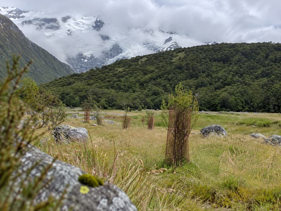
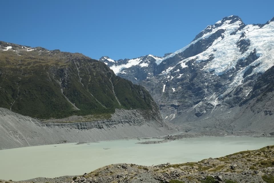
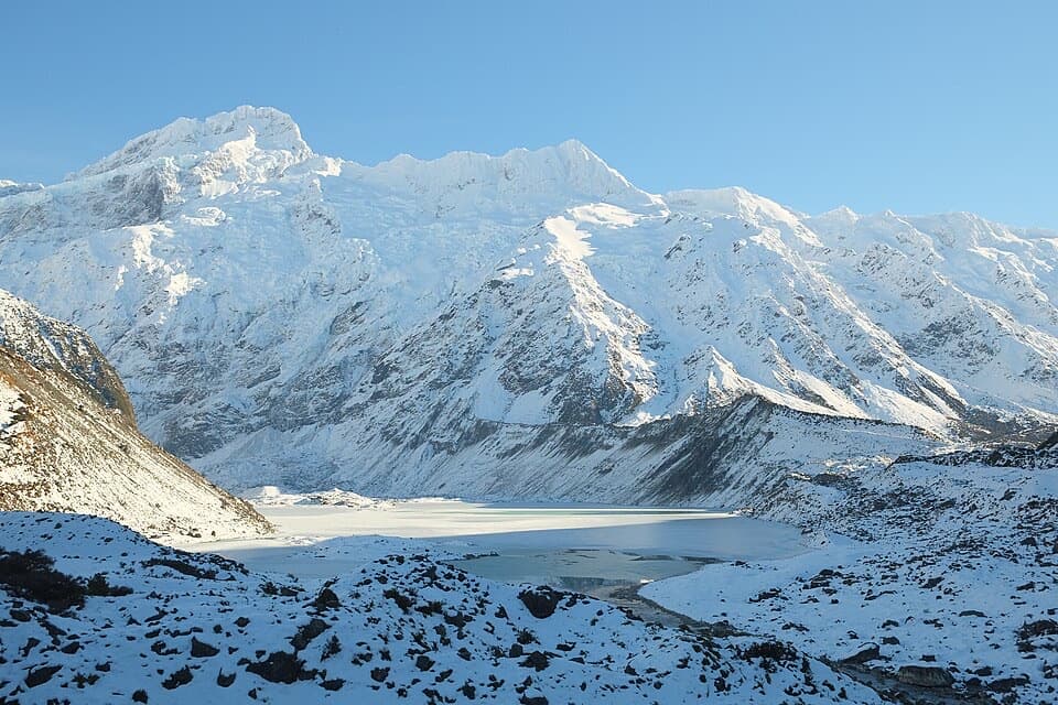
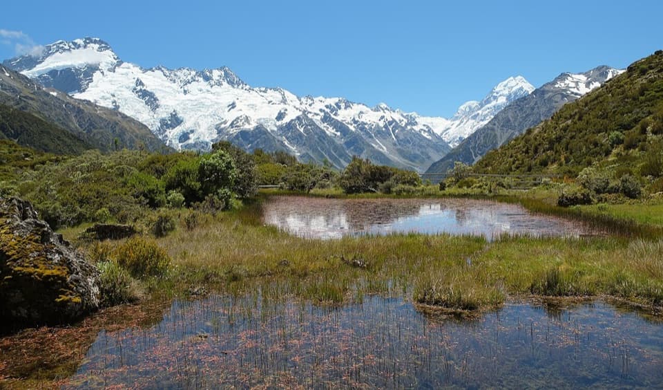
The grey moraine ridges are the old edge of Haupapa / Tasman Glacier. Tasman Lake began forming in 1974, and those ridges mark where the glacier ended as the lake took shape. It’s a striking place to see plant succession on recently exposed ground, with New Zealand’s longest glacier at the head of the valley.

At the viewpoint, keep some of the rough moraine in the foreground if you’re taking a photo; it helps show the scale of the lake and glacier.

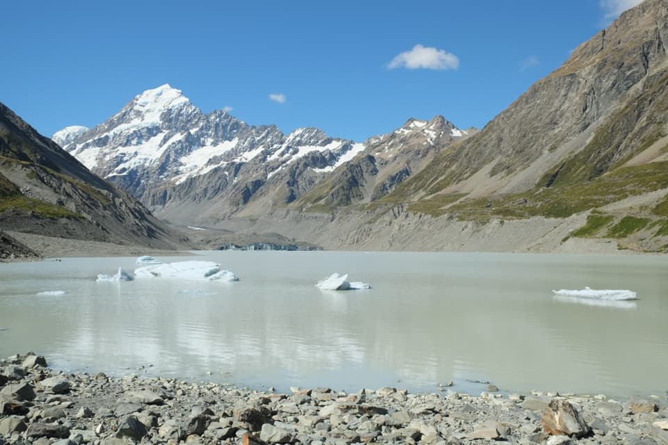
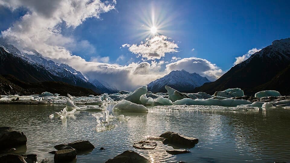
Icebergs and alpine conditionsIcebergs are usually visible in summer, and the lake freezes in winter.

Icebergs are usually visible in summer, and the lake freezes in winter. Stay out of the cold water and off the ice; icebergs can tip without warning. Snow, freezing temperatures and strong winds are possible here year-round, and DOC warns that conditions can change quickly.

Start and facilitiesTurn off SH80 onto Tasman Valley Road and follow it about 7 km to the end-of-road Blue Lakes /…

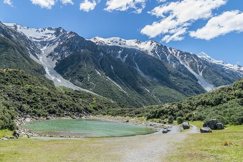
Turn off SH80 onto Tasman Valley Road and follow it about 7 km to the end-of-road Blue Lakes / Tasman Valley car park. It gets very busy during the November–April summer season, and overflow parking may be along the road. There are picnic tables, a day shelter and seasonal toilets, but no drinking water or mobile coverage.

Wildlife

Wildlife in Aoraki / Mount Cook

All Aoraki / Mount Cook wildlife maps

Sighting maps show where each species has been reported across Aoraki / Mount Cook. Wildlife moves, so no sighting is guaranteed.

Keep exploring

Near Tasman Lake and River Track

See it all on the map

Trails that start nearby

Places near the trailhead

Parkwolf’s Aoraki / Mount Cook ranking

Top-rated trails in Aoraki / Mount Cook

All 15 trails
  1. 1Hooker Valley TrackModerate · 10 km
  2. 2Mueller Hut RouteChallenging · 10.4 km
  3. 3Sealy Tarns TrackChallenging · 5.3 km
  4. 4Kea Point TrackEasy · 3.1 km
  5. 5Tasman Glacier View TrackModerate · 1.5 km
  6. 6Red Tarns TrackModerate · 4 km

Take Parkwolf to Aoraki / Mount Cook.

The audio tour guide for the drive, plus offline maps, trails, and wildlife heatmaps for when the signal drops.

4.7 from 8,600+ ratings

Download Parkwolf on the App StoreGet Parkwolf on Google Play