Overview
About Tasman Lake Viewpoint
Why stop
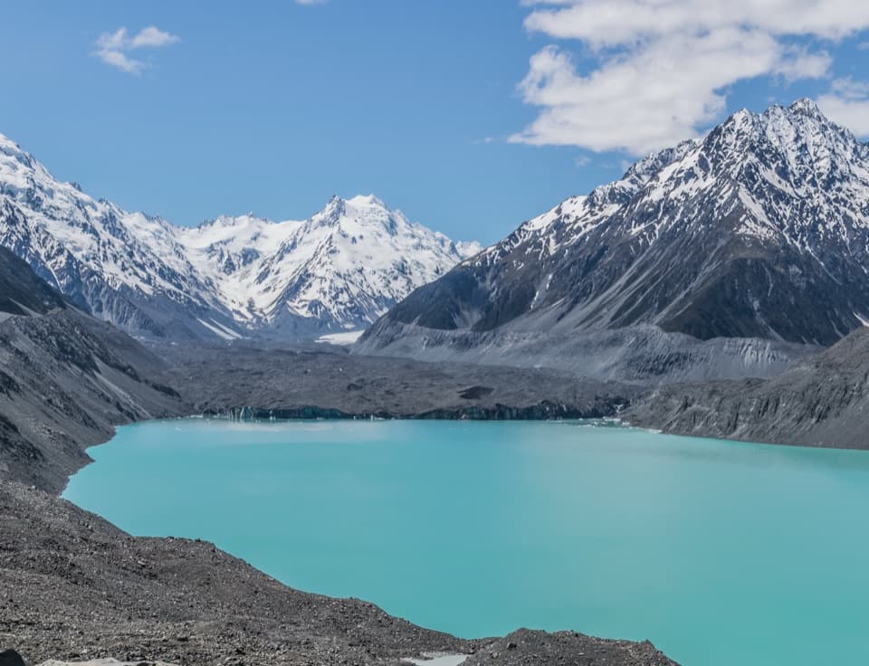
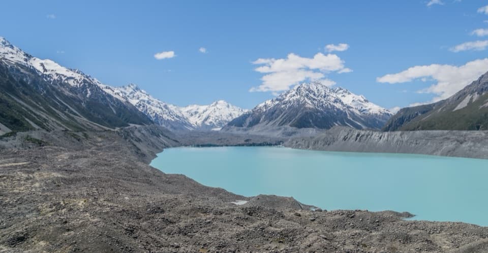
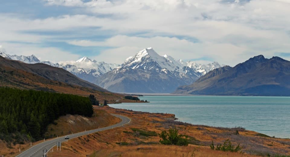
- See a lake that began forming in 1974 at the foot of a glacier.
Heads up
- The viewpoint takes a 2.6 km return walk on rock steps.
Map
Where it is

The highest, rockiest slopes around here are a summer buffet for grizzly bears.
Aoraki / Mount Cook Tour Guide
Your drive to Tasman Lake Viewpoint, narrated.
Parkwolf is a GPS audio tour guide for Aoraki / Mount Cook National Park. As you drive, it chimes in with what’s ahead: hidden gems, upcoming stops, history, geology, and wildlife, right through your car’s speakers.
Recorded for this place
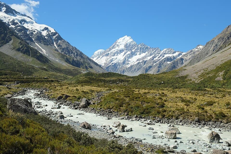
Tasman Glacier View and the Green Blue Lakes“Up ahead is the Tasman Valley car park, the start for a broad view across Tasman Lake to the glacier.”
Plays as you drive up to Tasman Lake Viewpoint in the Parkwolf Aoraki / Mount Cook Tour Guide.
More stories near here in the app
- Perfume from Speargrass
- Freda du Faur’s Six-Hour Ascent
- The Night Aoraki Lost Its Summit
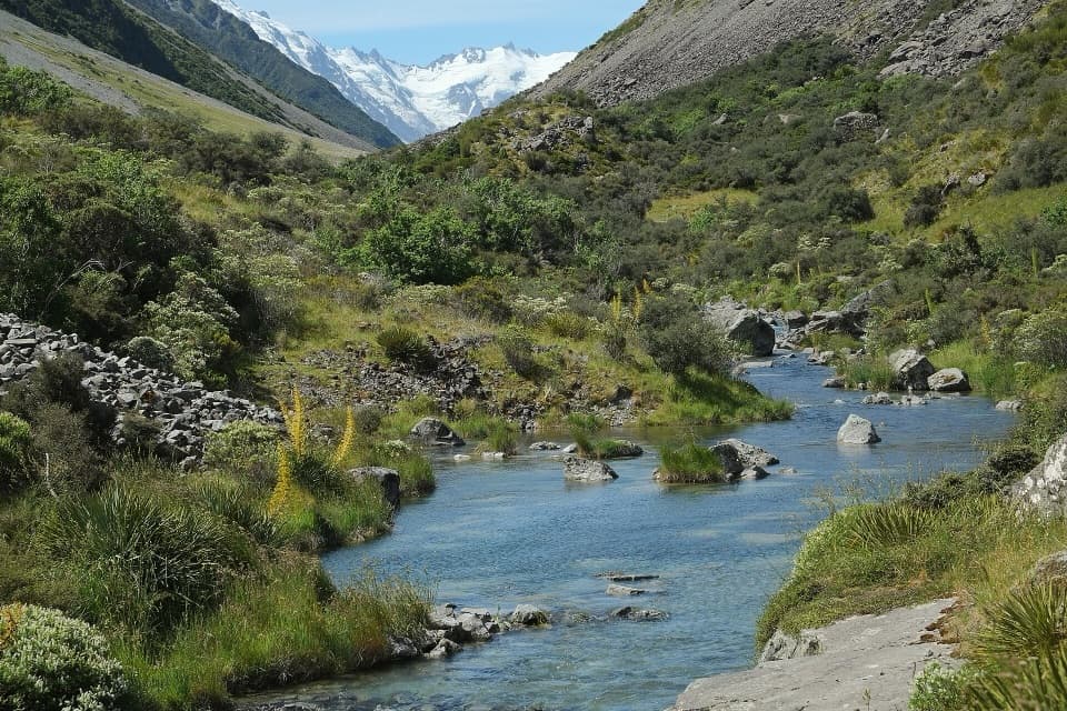
- One River, Many Channels
- 24 audio storiesacross Aoraki / Mount Cook’s roads, triggered by GPS as you drive
- Wildlife heatmapsfor Kea, Rockwren, New Zealand Falcon, and 13 more
- Works offlinemaps, 15 trails, 30 places, and audio download before you lose signal
- CarPlay readysimple controls built for the drive
“Fantastic app with many points of information… It’s great to just turn on while you’re driving and it gives you an audio tour of the national Park. We love it!!!!”


Guide
More about Tasman Lake Viewpoint
Follow the lake branchTasman Lake Viewpoint is the lower viewpoint over Haupapa/Tasman Glacier’s terminal lake,…
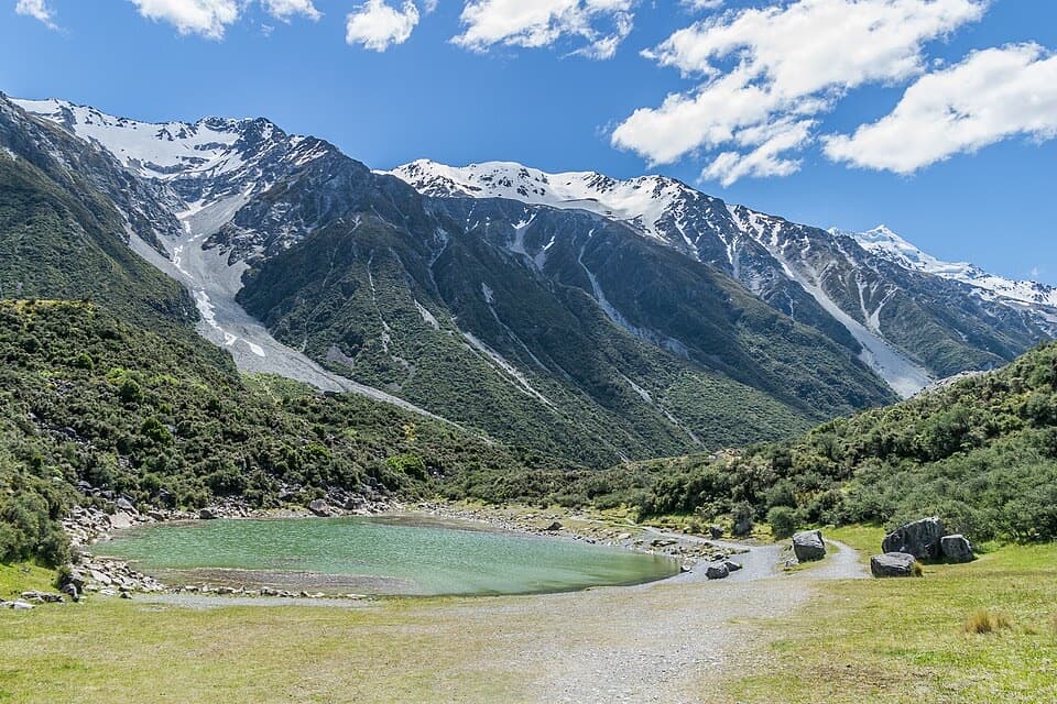
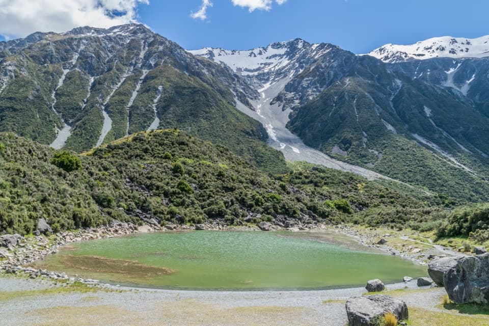
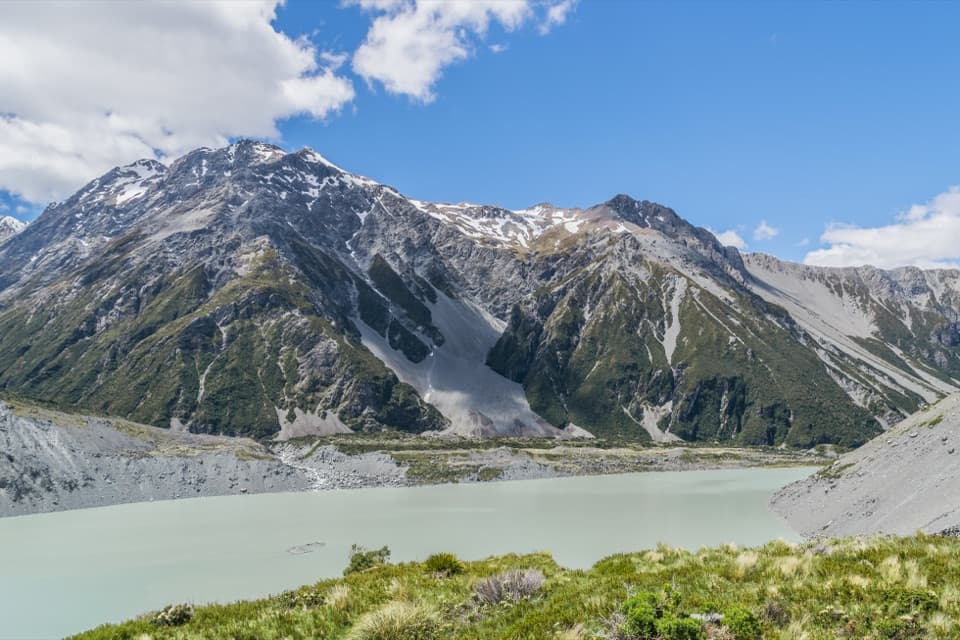
Tasman Lake Viewpoint is the lower viewpoint over Haupapa/Tasman Glacier’s terminal lake, reached by the Tasman Lake and River Track from the Tasman Valley car park. The branch leaves Blue Lakes Track just past Blue Lakes Shelter. It’s a 2.6 km return walk, about 50 minutes, with rock steps and roughly 86 m of elevation change. The separate upper Tasman Glacier View is a steeper route with more than 300 steps. The shared car park is free and busy from November through April.
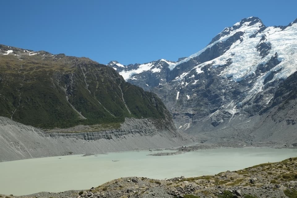
A lake young enough to watch changeTasman Lake began forming in 1974 as the glacier retreated and is still growing.
Tasman Lake began forming in 1974 as the glacier retreated and is still growing. The path crosses old terminal moraines, the debris ridges left by the glacier. Look for plants beginning to colonize that newly exposed ground.
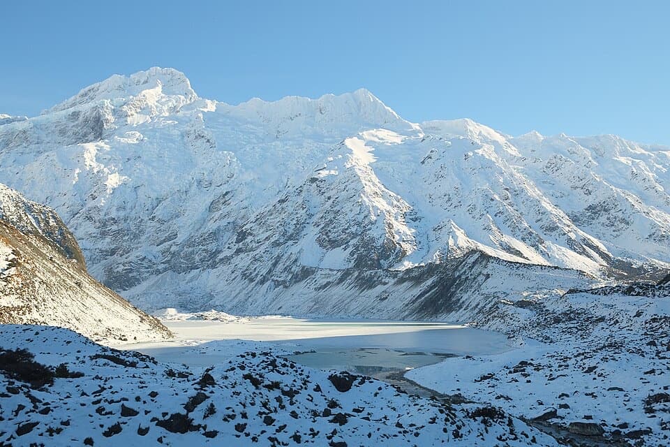
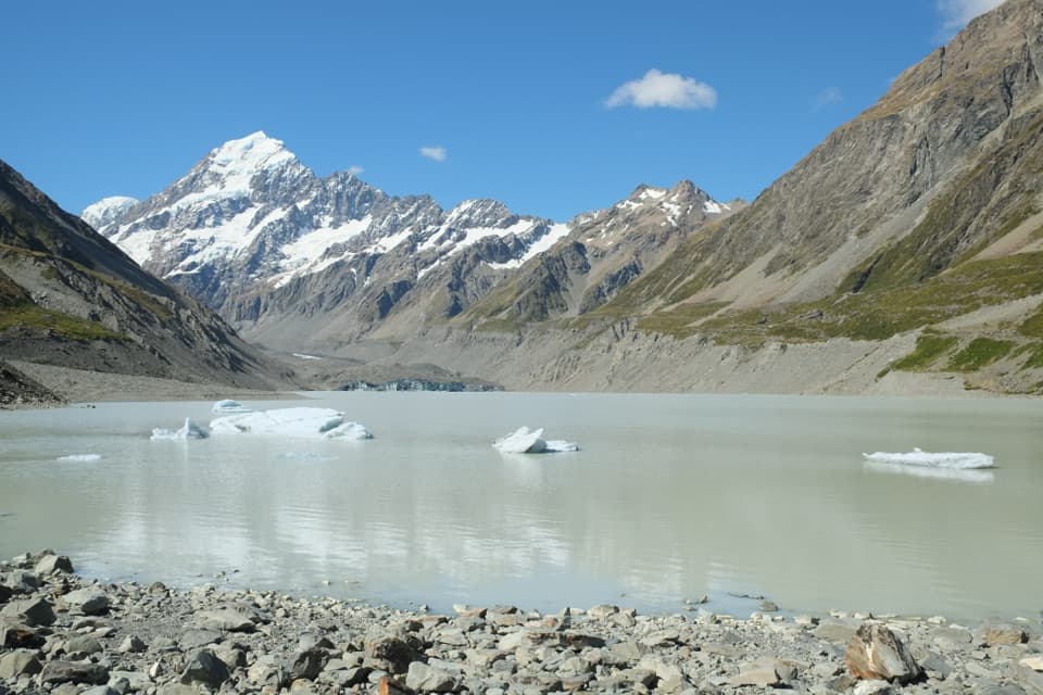
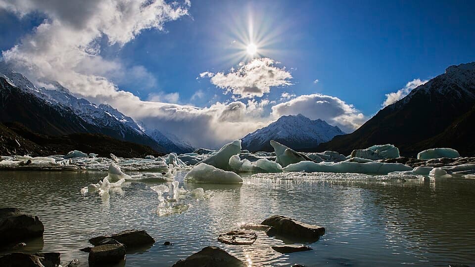
Ice and weather shape the viewFloating icebergs are usually visible in summer; in winter the lake freezes over.
Floating icebergs are usually visible in summer; in winter the lake freezes over. From here, frame the ice and bergs in front of the glacier. Conditions can change quickly in this alpine valley. The water is about 3°C, so stay out of the lake and off the ice; dogs aren’t allowed on the track.
Wildlife
Wildlife in Aoraki /
 139 sightingsKeaMost seen around 9 AMSighting map
 73 sightingsRockwrenMost seen around 10 AMSighting map
 46 sightingsNew Zealand FalconMost seen around 10 AMSighting map
 15 sightingsKererūMost seen around 9 AMSighting map
 16 sightingsBellbirdMost seen around 7 AMSighting map
 33 sightingsBlack-fronted TernMost seen around 5 PMSighting map
Sighting maps show where each species has been reported across Aoraki / Mount Cook. Wildlife moves, so no sighting is guaranteed.