Overview
About Black Arch Overlook
Why stop
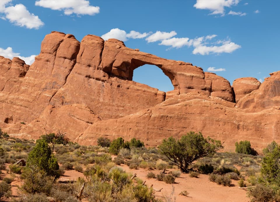
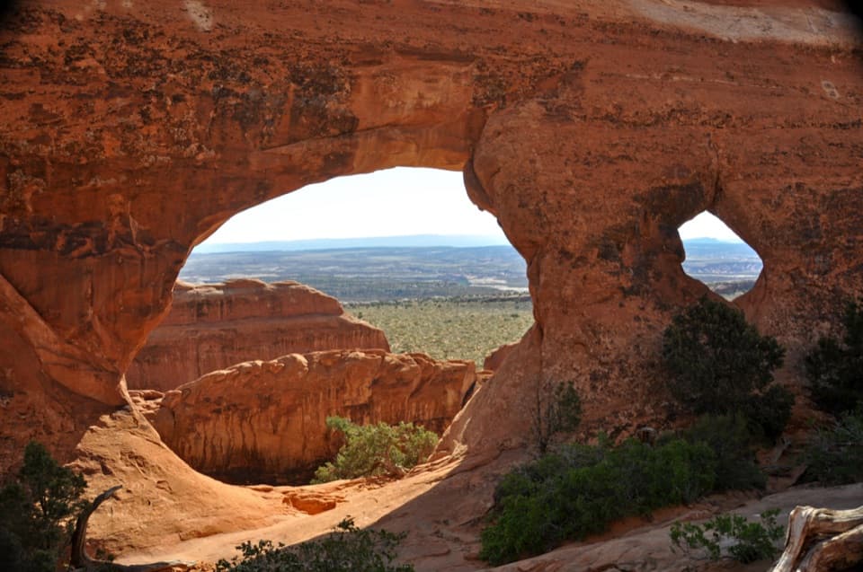
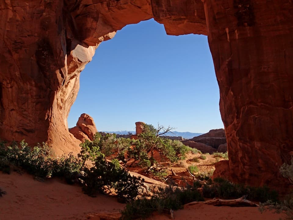
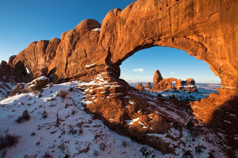
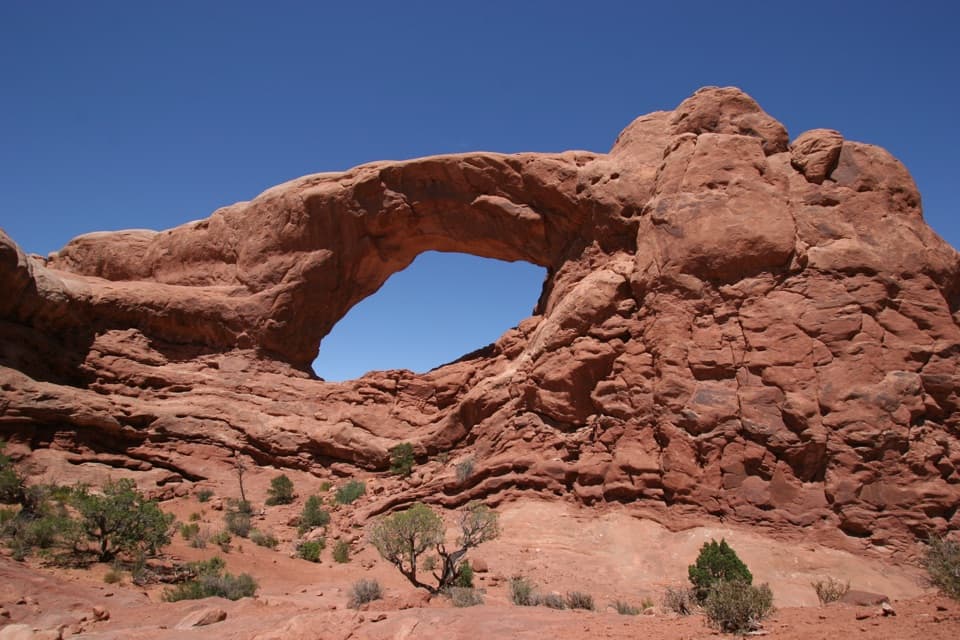
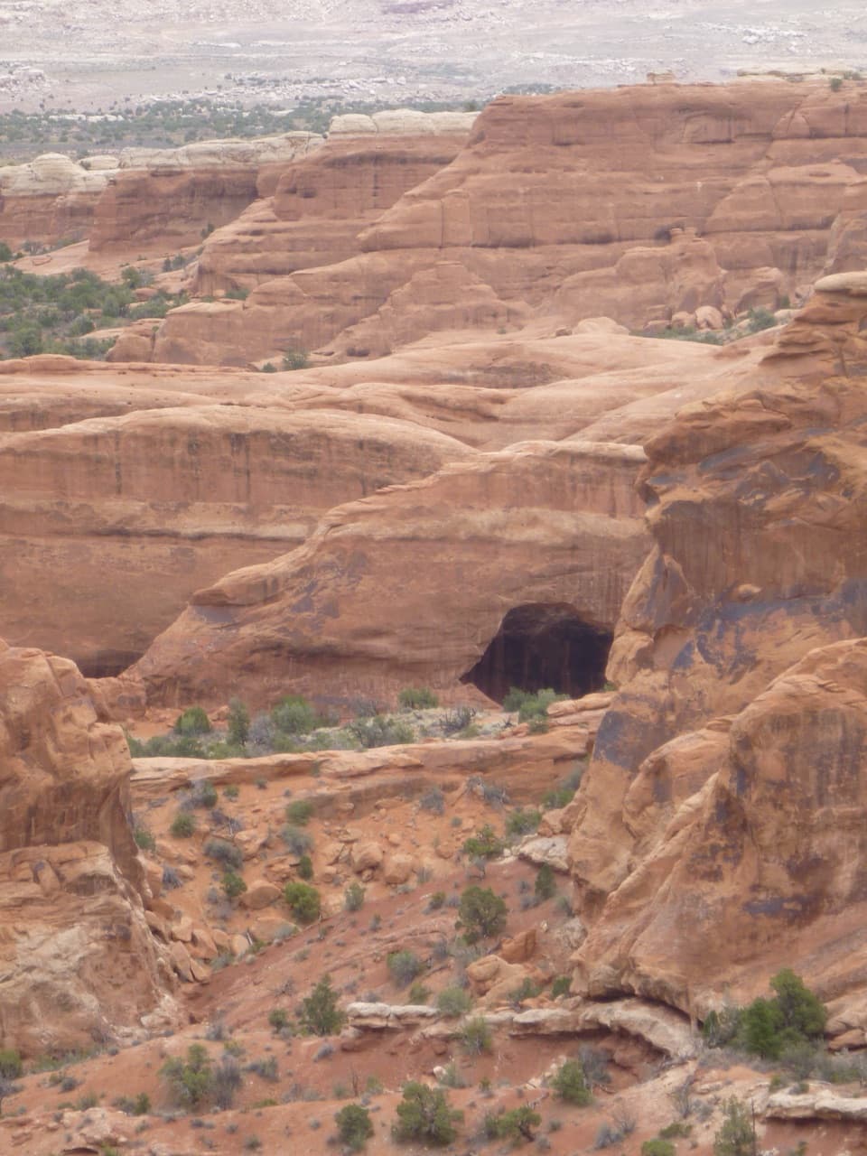
- A distinctive dark arch framed by red sandstone fins
Heads up
- Reached on a strenuous, exposed stretch of the Devils Garden Trail
Map
Where it is

The highest, rockiest slopes around here are a summer buffet for grizzly bears.
Arches Tour Guide
Your drive to Black Arch Overlook, narrated.
Parkwolf is a GPS audio tour guide for Arches National Park. As you drive, it chimes in with what’s ahead: hidden gems, upcoming stops, history, geology, and wildlife, right through your car’s speakers.
See the Arches audio tourRecorded for this place
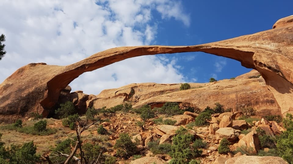
Devils Garden and Landscape Arch“Devils Garden is coming up, with a walk through tall sandstone fins to Landscape Arch. It's my pick for a shorter outing: one point nine miles round trip, allowing an hour to an hour and a half with stops.”
Plays as you drive up to Black Arch Overlook in the Parkwolf Arches Tour Guide.
More stories near here in the app
- A Lizard on Two Legs
- The Moth Inside the Yucca
- Devils Garden Campground and Tapestry Arch
- Bringing Bighorns Back
- 35 audio storiesacross Arches’s roads, triggered by GPS as you drive
- Wildlife heatmapsfor Bighorn Sheep, Pronghorn, Raven, and 13 more
- Works offlinemaps, 28 trails, 41 places, and audio download before you lose signal
- CarPlay readysimple controls built for the drive
“I can’t believe how helpful this app is and how interesting the information is for each highlight along the Arches Scenic Drive! This is the first park I’ve used it in.”


Guide
More about Black Arch Overlook
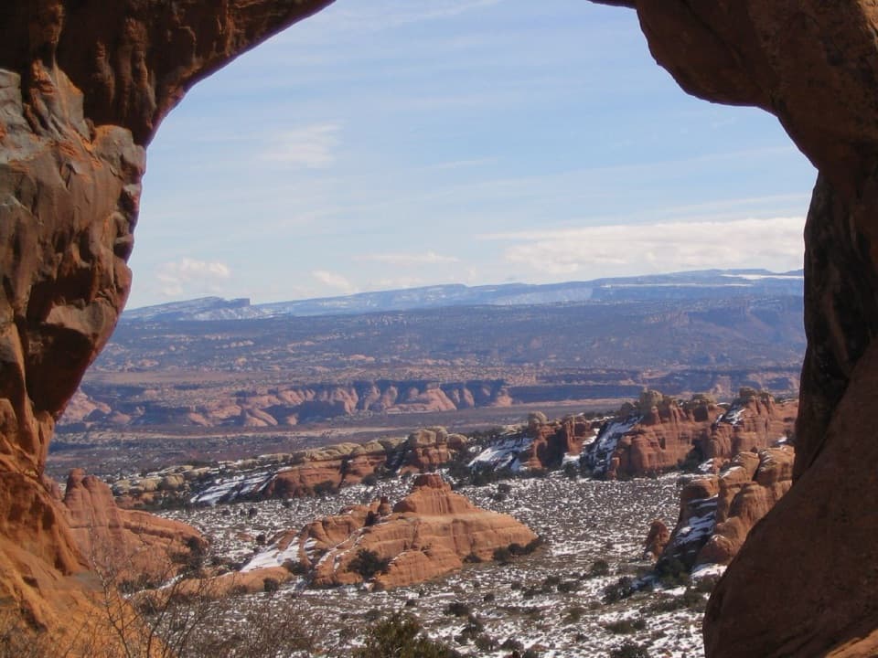
A spur on the tougher Devils Garden hikeBlack Arch Overlook is a short spur viewpoint on Devils Garden Trail, roughly two-thirds of the…
Black Arch Overlook is a short spur viewpoint on Devils Garden Trail, roughly two-thirds of the way toward Double O Arch. It is a pause on the hike, not a roadside stop: you reach it past Landscape Arch, where the route climbs over sandstone fins. Keep going only if uneven rock, narrow ledges and exposed drop-offs are comfortable for you.
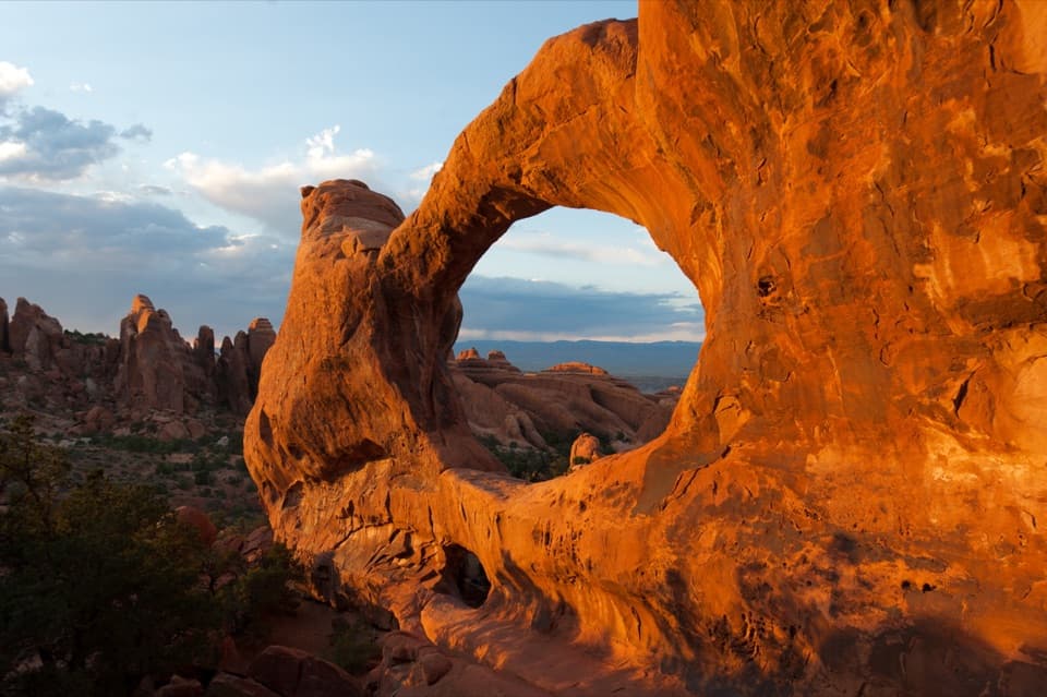
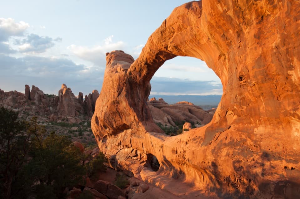
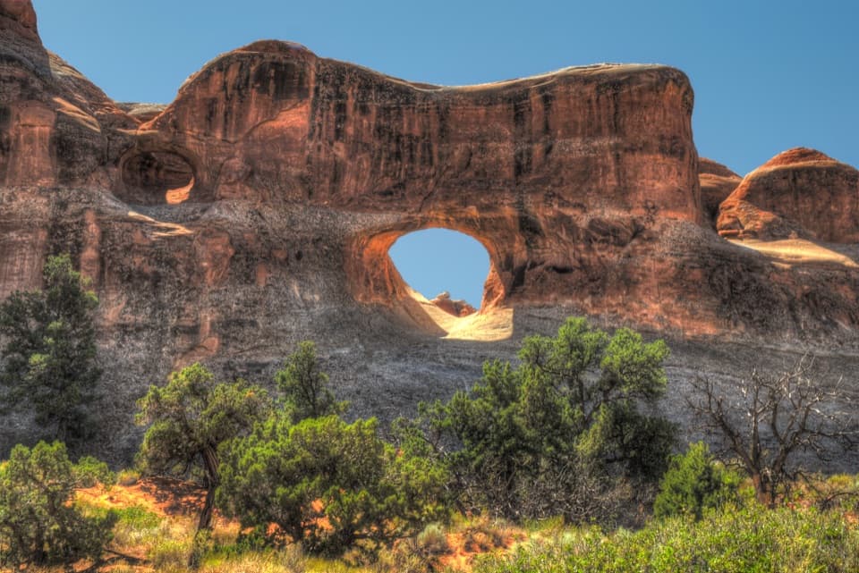
Pick out the dark openingThe view is of Black Arch, a dark opening in a sandstone fin that can blend into the rock…
The view is of Black Arch, a dark opening in a sandstone fin that can blend into the rock behind it. Take a moment to trace the outline; zooming in helps when you want a photo. The arch is the focal point, with red fins and a scrubby canyon filling the frame around it.
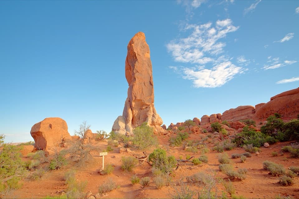
How the fins become archesRising underground salt fractured the sandstone into long fins.
Rising underground salt fractured the sandstone into long fins. Rainwater widened those cracks, and continued erosion can open the fins into arches. Black Arch is a close-up example of that process, with its shadowed opening cut through the darker rock.
Plan from Devils Garden trailheadThe full walk to Double O Arch and back is about four miles; this spur sits partway along it.
The full walk to Double O Arch and back is about four miles; this spur sits partway along it. NPS rates the route strenuous, with uneven rock, narrow ledges and steep drop-offs. Vault toilets and drinking water are at Devils Garden trailhead; water is available there in spring through fall. The lot can be very busy in peak season and on holiday weekends. Dogs are not allowed on the Devils Garden trail.
Wildlife
Wildlife in Arches
 14 sightingsBighorn SheepMost seen around 7 AMSighting map
 10 sightingsPronghornMost seen around 7 AMSighting map
 610 sightingsRavenMost seen around 9 AMSighting map
 188 sightingsMule DeerMost seen around 7 PMSighting map
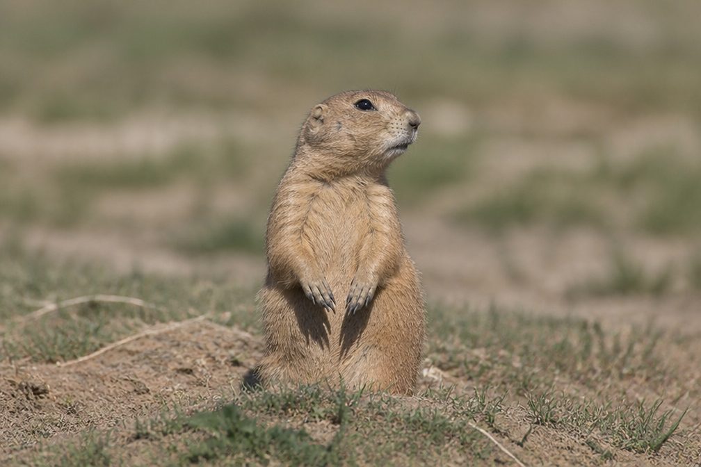 51 sightingsPrairie DogMost seen around 8 AMSighting map
 15 sightingsCoyoteMost seen around 6 AMSighting map
Sighting maps show where each species has been reported across Arches. Wildlife moves, so no sighting is guaranteed.