Pine Tree and Tunnel Arches Trail in Arches National Park

Arches National Park, UT

Pine Tree and Tunnel Arches Trail

Two easy arch detours through sandstone fins.

Photo: Wikimedia Commons
Length
1mi
Time
45min
Elev. change
62ft
Difficulty
Easy
  • Loop
  • No dogs
  • High point 5,203 ft

Hear the audio tour

Devils Garden and Landscape Arch

Overview

About Pine Tree and Tunnel Arches Trail

Why go

  • Two distinctive arches on one short outing
  • Easy approach through tall sandstone fins

Heads up

  • Brief by design; Landscape Arch is a separate extension
  • Tunnel Arch is viewed from a set-back viewpoint

Map & elevation

The route

Loading the Arches map
Full map
Elevation5,141–5,203 ft
TrailheadDevils Garden Trailhead38.78281, -109.59503
Keep this map with you offline in the Parkwolf app

Plan your hike

Before you go

Parking

Use the Devils Garden Trailhead parking lot at the north end of the park road, about 18 miles from the entrance. It often fills, especially on weekends and holidays. Toilets are open year-round; drinking water is available spring through fall.


Safety

Open desert heat can be severe; avoid midday summer hiking and carry water. The sandy, rocky spurs dip and climb back to the approach. Stay on marked trails and do not walk or climb on arches. Pets are prohibited on hiking trails.

A park ranger sits on a dash-mounted phone, talking, as Parkwolf’s Tour Guide plays “Army Cutworm Moths: A Grizzly Bear Buffet” on Grand Loop Road below Dunraven Pass in Yellowstone
Parkwolf Tour GuideThe highest, rockiest slopes around here are a summer buffet for grizzly bears.

Arches Tour Guide

Your drive to Pine Tree and Tunnel Arches Trail, narrated.

Parkwolf is a GPS audio tour guide for Arches National Park. As you drive, it chimes in with what’s ahead: hidden gems, upcoming stops, history, geology, and wildlife, right through your car’s speakers.

See the Arches audio tour

Recorded for this trailhead

Devils Garden and Landscape Arch
0:00 / 0:27
“Devils Garden is coming up, with a walk through tall sandstone fins to Landscape Arch. It's my pick for a shorter outing: one point nine miles round trip, allowing an hour to an hour and a half with stops.”

Plays as you drive up to this trailhead in the Parkwolf Arches Tour Guide.

More stories near here in the app

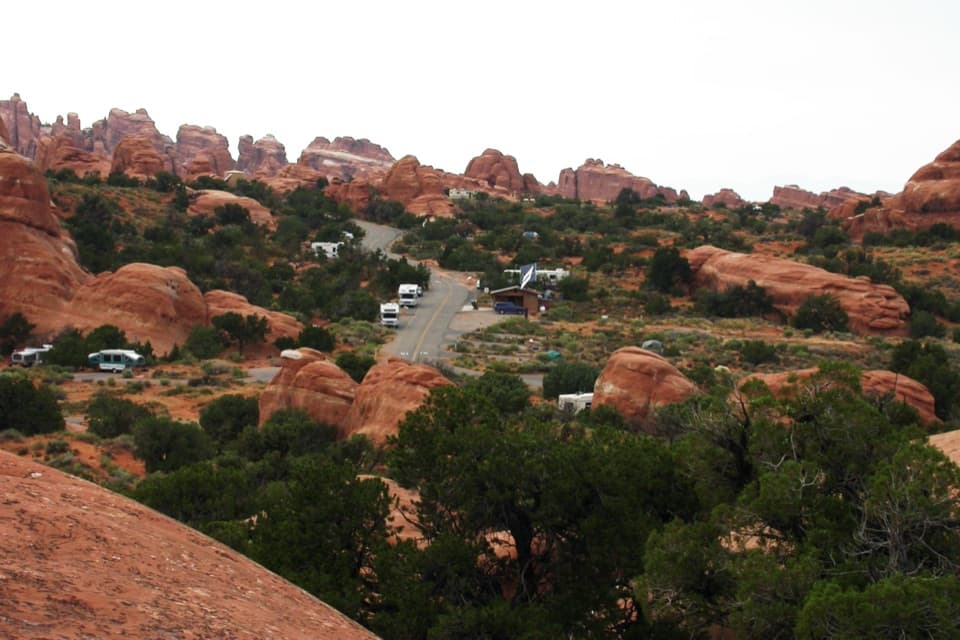
  • Devils Garden Campground and Tapestry Arch
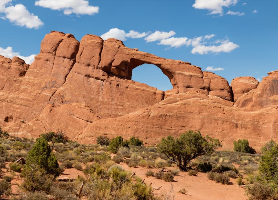
  • Skyline Arch
  • Ears That Shed Heat
  • Sand Dune Arch and Broken Arch
  • 35 audio storiesacross Arches’s roads, triggered by GPS as you drive
  • Wildlife heatmapsfor Bighorn Sheep, Pronghorn, Raven, and 13 more
  • Works offlinemaps, 28 trails, 41 places, and audio download before you lose signal
  • CarPlay readysimple controls built for the drive
★★★★★
“I can’t believe how helpful this app is and how interesting the information is for each highlight along the Arches Scenic Drive! This is the first park I’ve used it in.”
ThisismylifeniloveitApp Store review
Download Parkwolf on the App StoreGet Parkwolf on Google Play

4.7 from 8,600+ ratings

Trail guide

Hiking Pine Tree and Tunnel Arches Trail

Two arches, one short outingPine Tree and Tunnel Arches is an easy, roughly one-mile out-and-back from Devils Garden…

Pine Tree and Tunnel Arches is an easy, roughly one-mile out-and-back from Devils Garden Trailhead. Follow the shared approach to the two short arch branches, visit Tunnel Arch and Pine Tree Arch, then return the way you came before Landscape Arch. Give it 45 to 60 minutes with both stops; the Landscape Arch walk is a separate extension.

Different arches, different viewsThe approach threads among tall sandstone fins on mostly firm, gravelly ground.

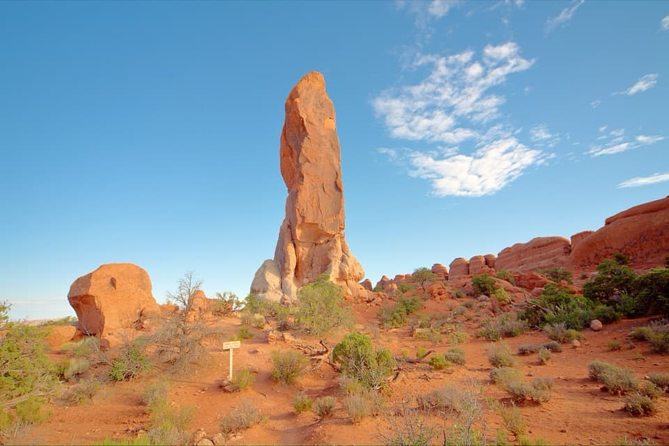
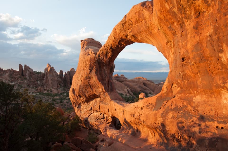
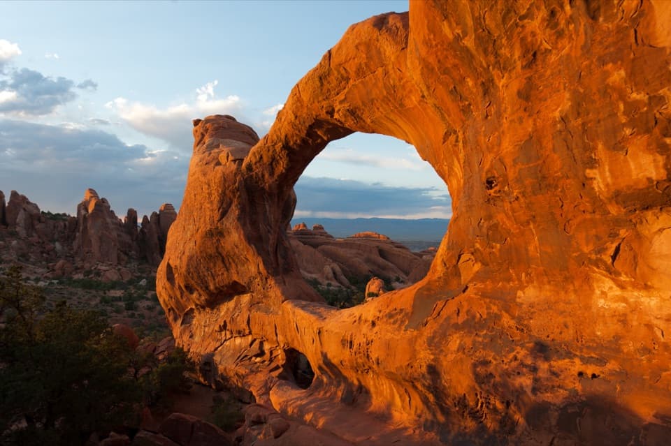
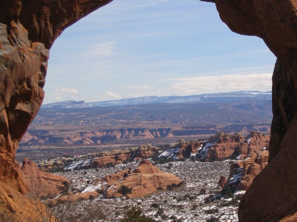
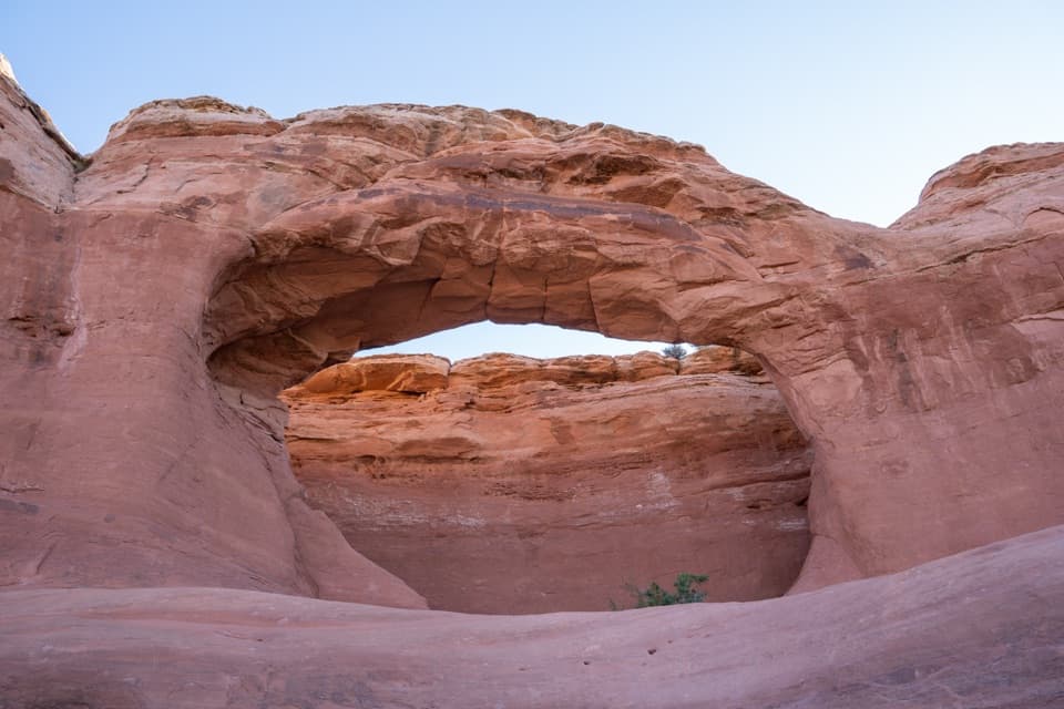
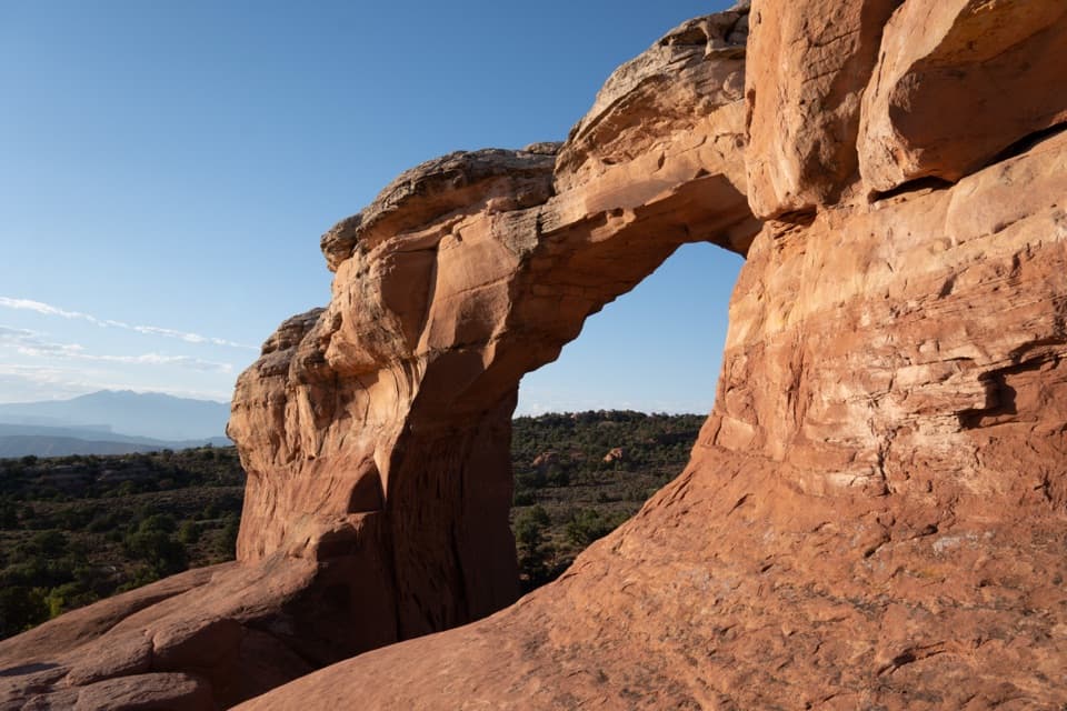
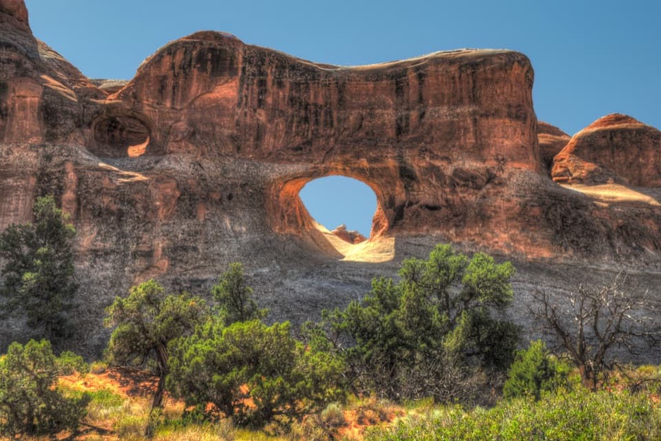
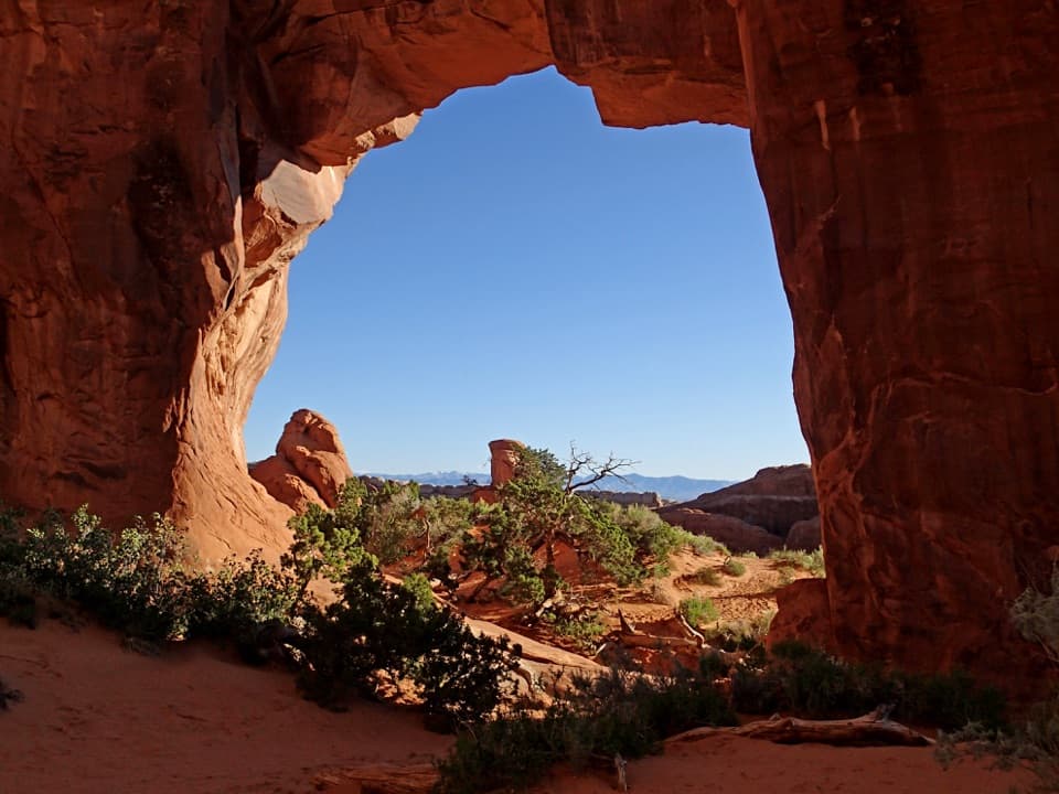
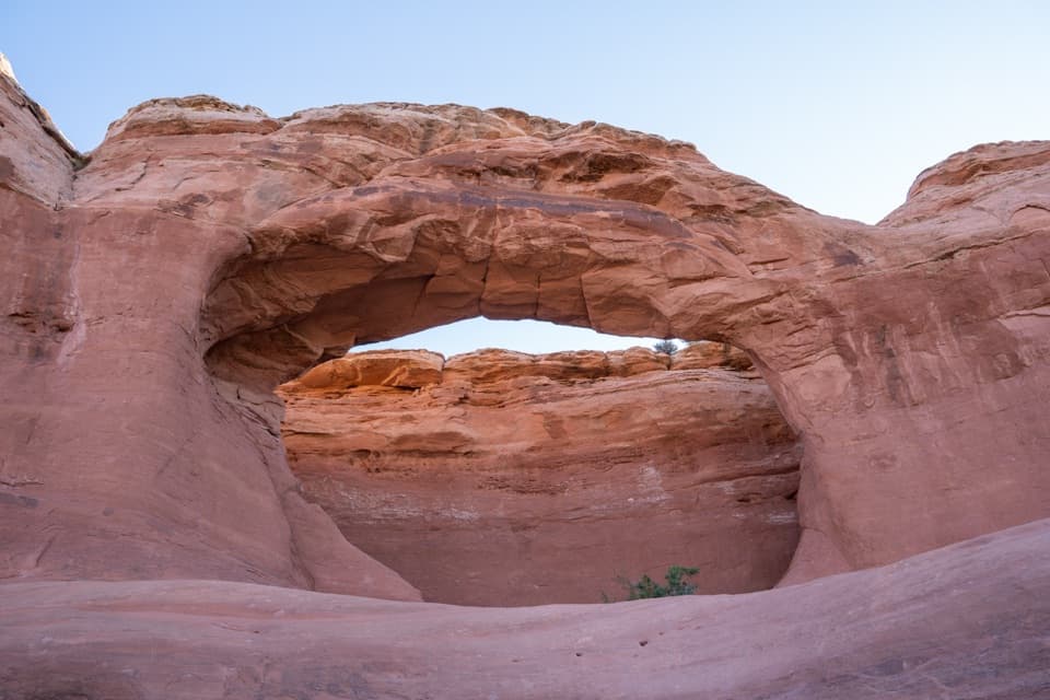
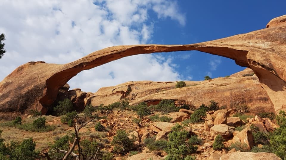
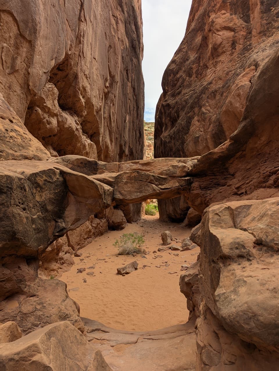
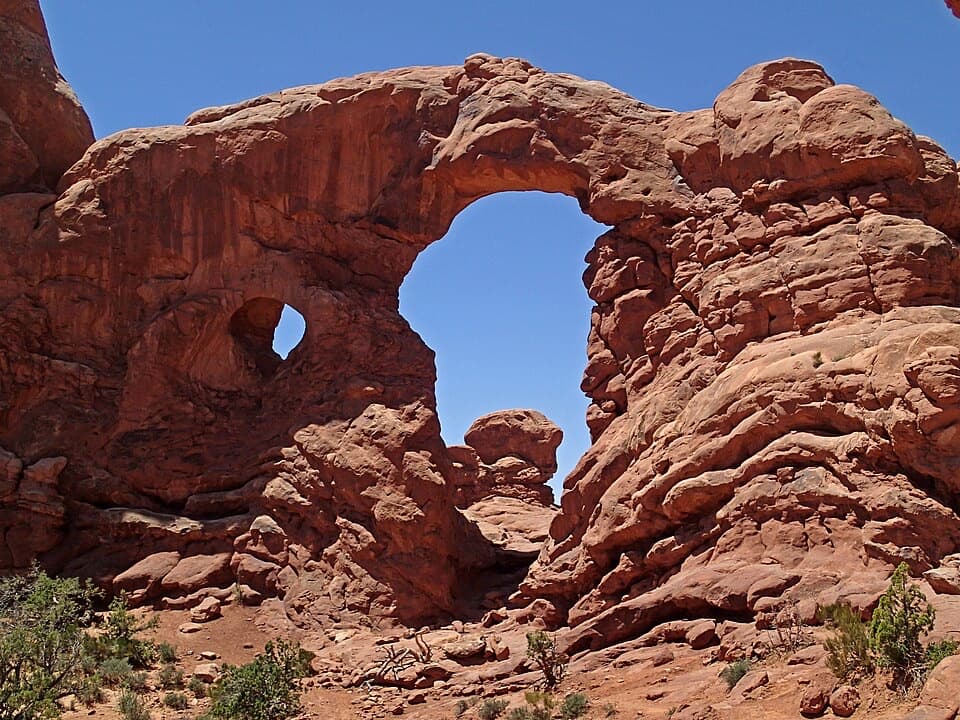
The approach threads among tall sandstone fins on mostly firm, gravelly ground. The short spurs dip and climb again over patches of sand and rock. Tunnel Arch sits high in a thick fin and is viewed from back a little; Pine Tree Arch is lower, with desert visible through its opening. If you want the full Pine Tree opening in a photo, step back from the rock; from Tunnel’s viewpoint, include some of the fin around the arch.

Keep the walk easyThis is a much gentler choice than the rocky route beyond Landscape Arch, but the arches sit…

This is a much gentler choice than the rocky route beyond Landscape Arch, but the arches sit below parts of the approach, so expect a short uphill return. The trail is in open desert: avoid the midday summer heat and carry water. Stay on the marked route to protect the living soil crust, and do not walk or climb on either arch. Pets are not allowed on Arches hiking trails.

Start at Devils GardenPark at Devils Garden Trailhead, at the north end of the park road and about 18 miles from the…

Park at Devils Garden Trailhead, at the north end of the park road and about 18 miles from the entrance. The lot often fills, especially on weekends and holidays. Toilets are open year-round and drinking water is available spring through fall. A day-use picnic area is just south by the campground entrance.

Wildlife

Wildlife in Arches

All Arches wildlife maps

Sighting maps show where each species has been reported across Arches. Wildlife moves, so no sighting is guaranteed.

Keep exploring

Near Pine Tree and Tunnel Arches Trail

See it all on the map

Trails that start nearby

Places near the trailhead

Parkwolf’s Arches ranking

Top-rated trails in Arches

All 28 trails
  1. 1Delicate Arch TrailChallenging · 3 mi
  2. 2Devils Garden TrailChallenging · 7.9 mi
  3. 3Landscape Arch TrailEasy · 1.9 mi
  4. 4Fiery Furnace LoopChallenging · 1.2 mi
  5. 5Double O Arch TrailChallenging · 4.1 mi
  6. 6The Windows TrailEasy · 1 mi

Take Parkwolf to Arches.

The audio tour guide for the drive, plus offline maps, trails, and wildlife heatmaps for when the signal drops.

4.7 from 8,600+ ratings

Download Parkwolf on the App StoreGet Parkwolf on Google Play