Overview
About Navajo Arch
Why stop
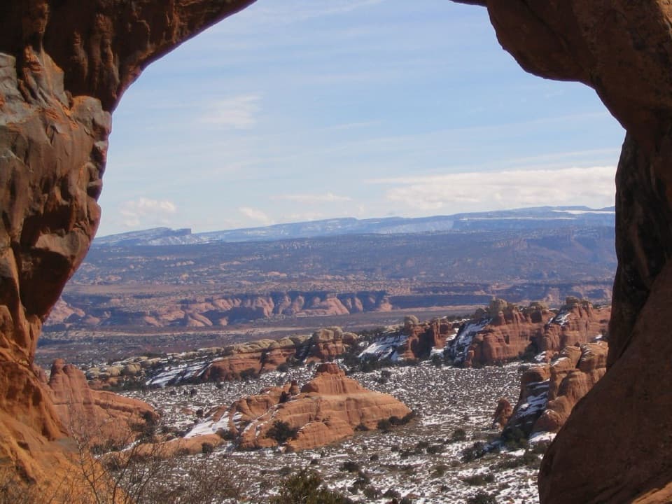
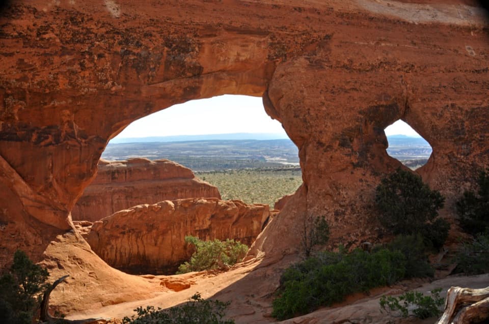
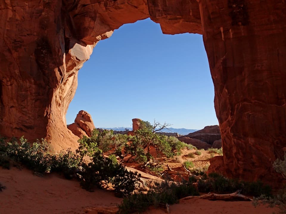
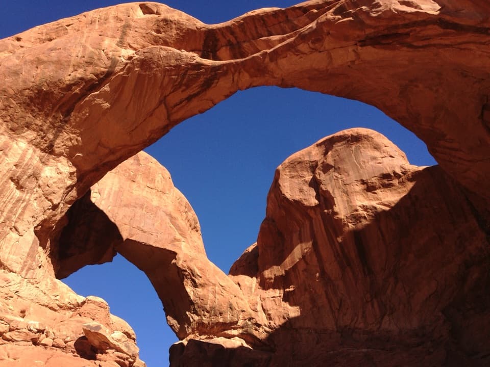
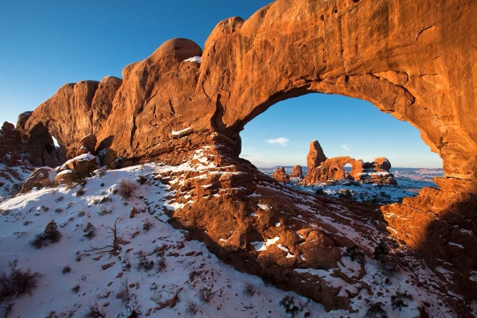
- The enclosed opening frames juniper and red rock.
- A quieter place to pause than the headline arches.
Heads up
- Getting there means scrambling on exposed trail beyond Landscape Arch.
Map
Where it is

The highest, rockiest slopes around here are a summer buffet for grizzly bears.
Arches Tour Guide
Your drive to Navajo Arch, narrated.
Parkwolf is a GPS audio tour guide for Arches National Park. As you drive, it chimes in with what’s ahead: hidden gems, upcoming stops, history, geology, and wildlife, right through your car’s speakers.
See the Arches audio tourRecorded for this place
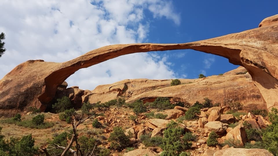
Devils Garden and Landscape Arch“Devils Garden is coming up, with a walk through tall sandstone fins to Landscape Arch. It's my pick for a shorter outing: one point nine miles round trip, allowing an hour to an hour and a half with stops.”
Plays as you drive up to Navajo Arch in the Parkwolf Arches Tour Guide.
More stories near here in the app
- Devils Garden Campground and Tapestry Arch
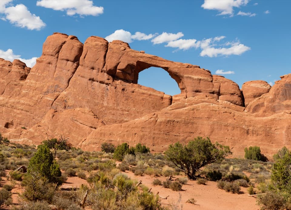
- Skyline Arch
- Ears That Shed Heat
- The Moth Inside the Yucca
- 35 audio storiesacross Arches’s roads, triggered by GPS as you drive
- Wildlife heatmapsfor Bighorn Sheep, Pronghorn, Raven, and 13 more
- Works offlinemaps, 28 trails, 41 places, and audio download before you lose signal
- CarPlay readysimple controls built for the drive
“I can’t believe how helpful this app is and how interesting the information is for each highlight along the Arches Scenic Drive! This is the first park I’ve used it in.”


Guide
More about Navajo Arch
A low arch with a sheltered feelNavajo Arch is a thick, ground-level sandstone arch tucked into a shaded alcove on the Devils…
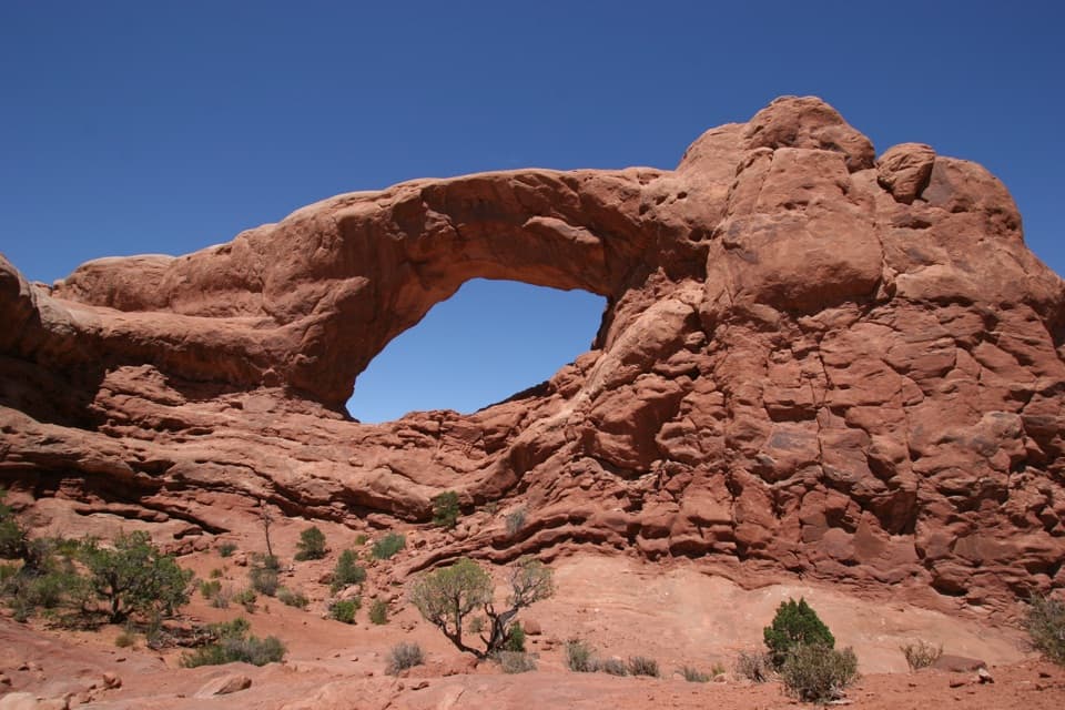
Navajo Arch is a thick, ground-level sandstone arch tucked into a shaded alcove on the Devils Garden hike. It’s a more enclosed stop than the big open spans nearby, with junipers and red rock visible through its low opening. I’d take the spur if you like quiet, sheltered places; skip it if you only want the headline arches.
The approach is the real commitmentThe arch is an optional spur between Landscape Arch and Double O Arch.
The arch is an optional spur between Landscape Arch and Double O Arch. From Devils Garden Trailhead, the walk to Landscape Arch is 1.9 miles round trip; continuing to Double O is 4.1 miles. The Navajo and Partition spurs add 0.8 mile together, so the full Double O route with both detours is about 4.9 miles round trip. That 0.8-mile figure isn’t broken out for Navajo alone.
Beyond Landscape Arch, the route becomes difficult: steep sandstone fins, narrow ledges, drops and hand-and-foot scrambling. The Navajo spur is short, but getting there means taking on that exposed section. Continue only if you’re comfortable with the footing and exposure. Bring water, and avoid the midday summer heat. Devils Garden is at the end of the park road, about 18 miles and a 45-minute drive from the visitor center; its parking can be very busy in peak season and on holiday weekends.
Look through the openingThe low curve makes a natural frame for the junipers and sandstone beyond.
The low curve makes a natural frame for the junipers and sandstone beyond. Visitors often treat the shady alcove as a quiet place to pause, especially after the busier stops along the trail. For a photo, stand beneath the arch and use its opening to frame the trees and red rock; the view is more interesting than a straight-on shot of the rock alone.
How sandstone becomes an archAcross Arches, water works into cracks in sandstone and loosens the mineral cement that holds…
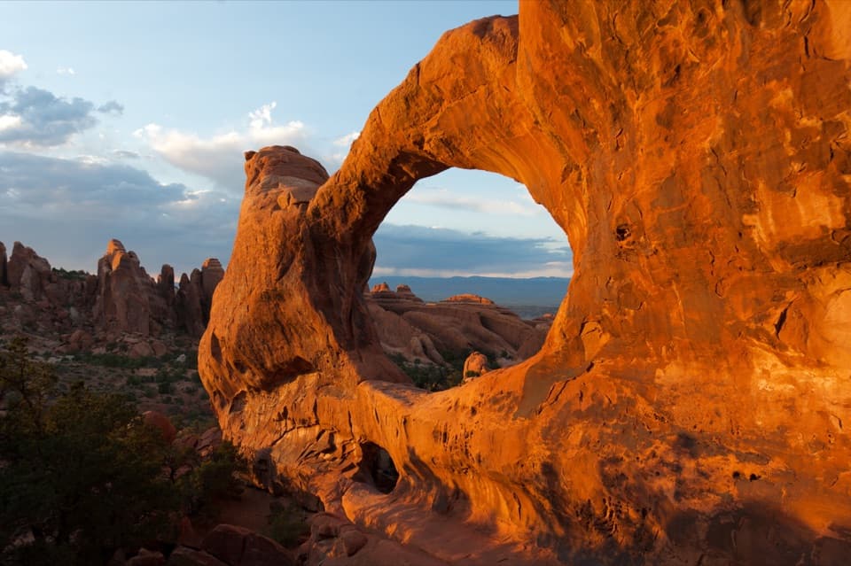
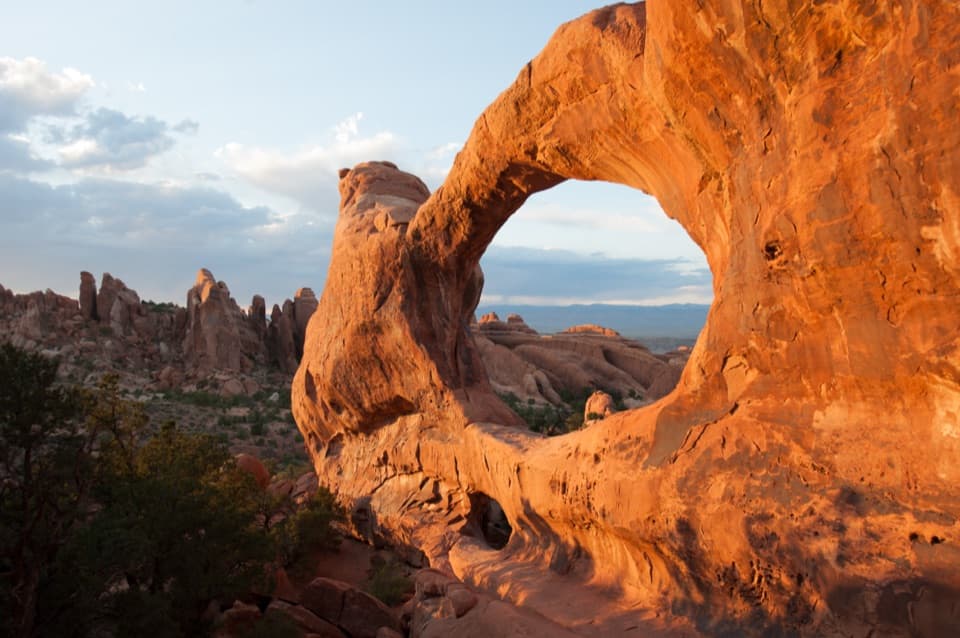
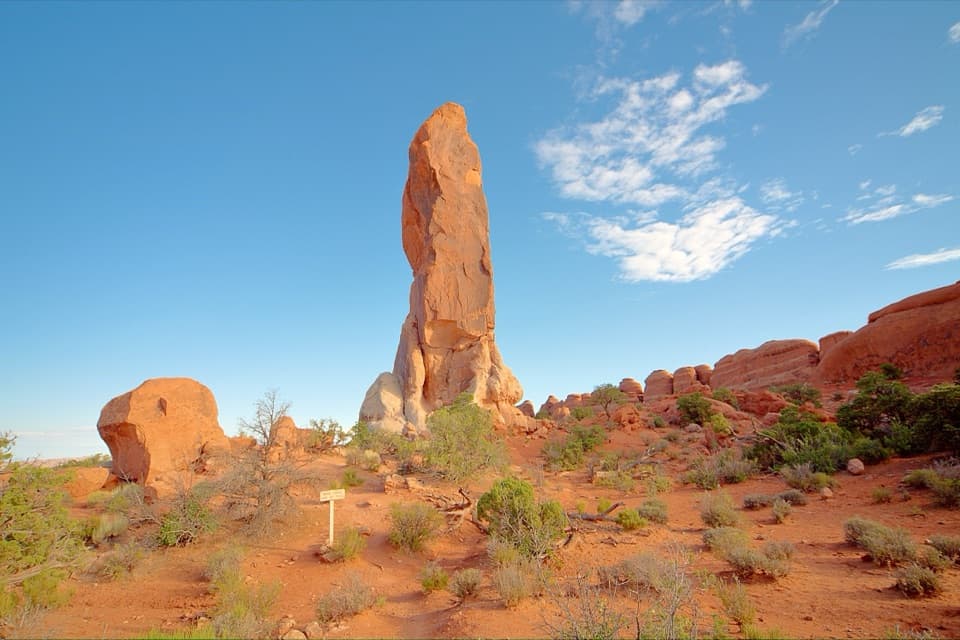
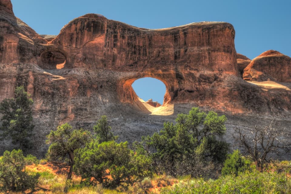
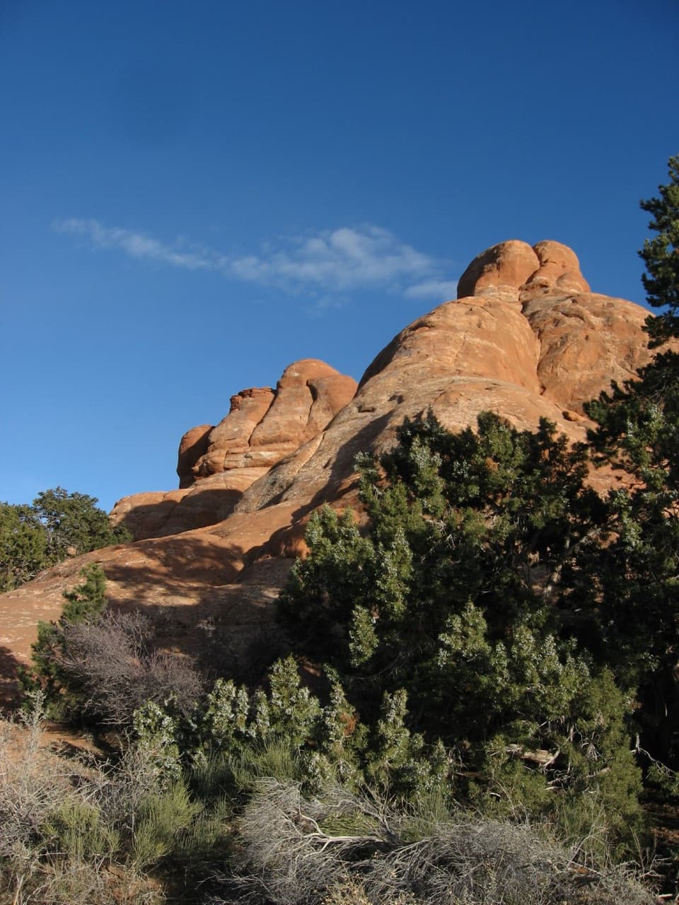
Across Arches, water works into cracks in sandstone and loosens the mineral cement that holds the grains together. Winter freezing pries those cracks wider; walls break into narrow fins, and erosion gradually opens holes through them. Navajo Arch is a low opening in one of those sandstone fins, rather than a tall, freestanding span.
Wildlife
Wildlife in Arches
 14 sightingsBighorn SheepMost seen around 7 AMSighting map
 10 sightingsPronghornMost seen around 7 AMSighting map
 610 sightingsRavenMost seen around 9 AMSighting map
 188 sightingsMule DeerMost seen around 7 PMSighting map
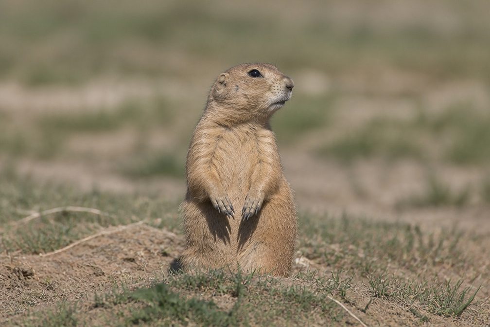 51 sightingsPrairie DogMost seen around 8 AMSighting map
 15 sightingsCoyoteMost seen around 6 AMSighting map
Sighting maps show where each species has been reported across Arches. Wildlife moves, so no sighting is guaranteed.