Parking
Start at Devils Garden Trailhead at the end of the park road, about 18 miles north of the Visitor Center. Parking can be very busy in peak season and on holiday weekends.
Arches National Park, UT
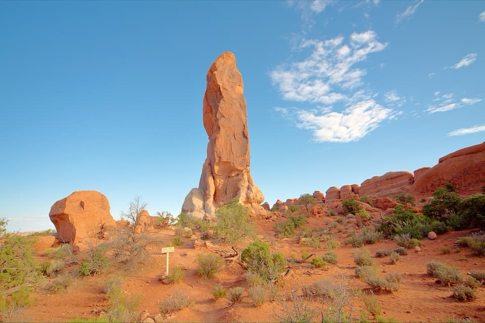
A long, scrambly walk to a solitary sandstone spire.
Overview
Dark Angel Trail is a 4.9-mile out-and-back from Devils Garden Trailhead to a tall, isolated sandstone spire. The route crosses the fins past Landscape Arch and Double O Arch before the Dark Angel spur. I'd choose it if you want a longer walk with real slickrock scrambling; this isn't an easy stroll from the parking lot. Allow about three hours, longer if you stop at the arches. The distance includes the spur and the walk back on the main trail.
 Parkwolf’s verdictIs this the hike for you?
Map & elevation
Plan your hike

The highest, rockiest slopes around here are a summer buffet for grizzly bears.
Arches Tour Guide
Parkwolf is a GPS audio tour guide for Arches National Park. As you drive, it chimes in with what’s ahead: hidden gems, upcoming stops, history, geology, and wildlife, right through your car’s speakers.
See the Arches audio tourRecorded for this trailhead
Devils Garden and Landscape Arch“Devils Garden is coming up, with a walk through tall sandstone fins to Landscape Arch. It's my pick for a shorter outing: one point nine miles round trip, allowing an hour to an hour and a half with stops.”
Plays as you drive up to this trailhead in the Parkwolf Arches Tour Guide.
More stories near here in the app
“I can’t believe how helpful this app is and how interesting the information is for each highlight along the Arches Scenic Drive! This is the first park I’ve used it in.”


Trail guide
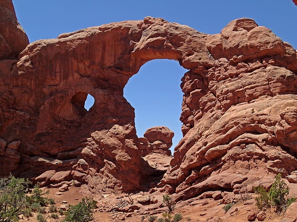
The first 1.9 miles round trip to Landscape Arch are relatively flat, with hard-packed footing and moderate rolling hills through tall fins. It's a good shorter outing on its own: turn back there if you want the arch without the harder climb. The Pine Tree and Tunnel Arch side paths add about half a mile round trip if you take them; they aren't part of the 4.9-mile Dark Angel route.
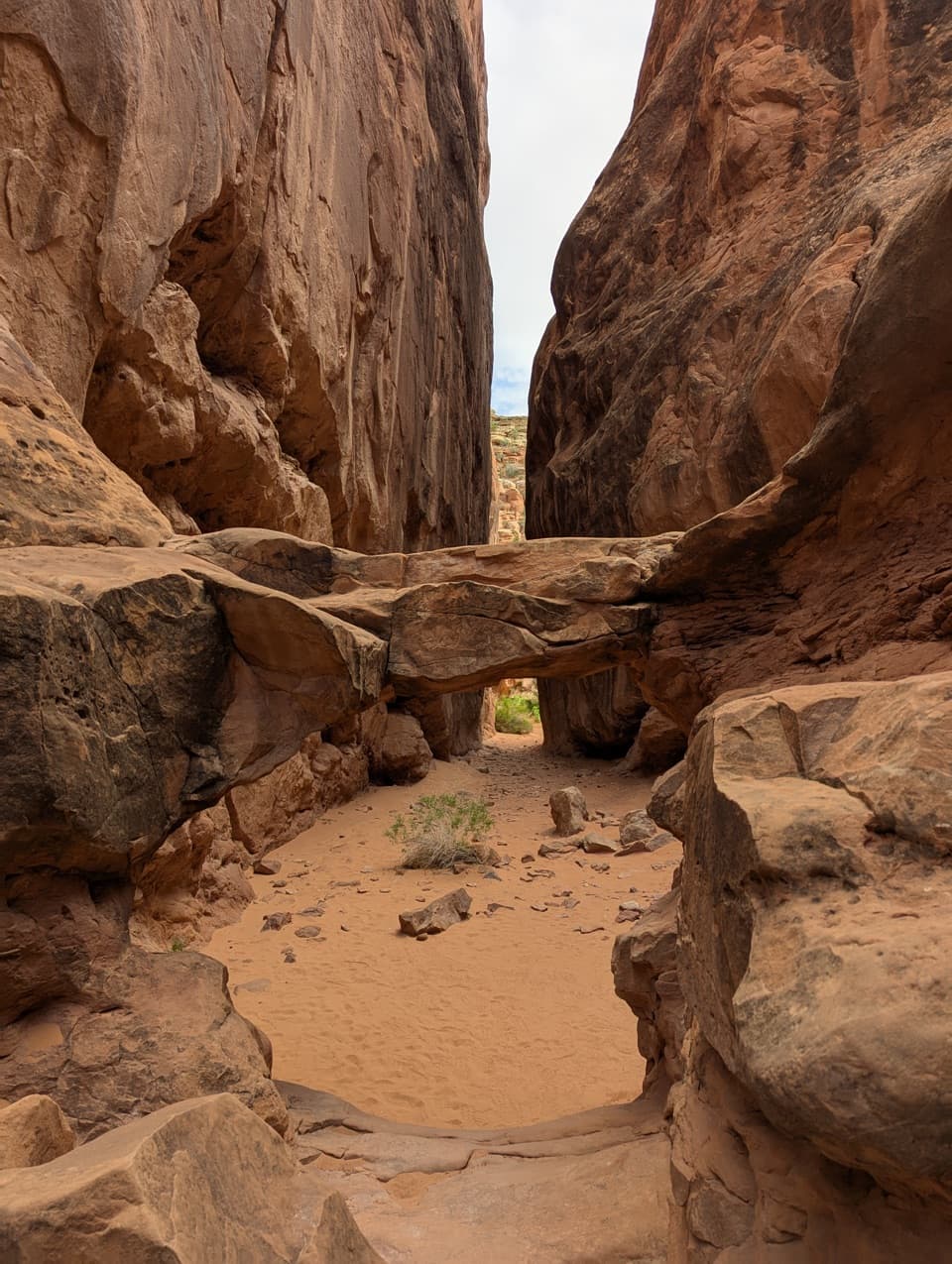
The character changes sharply after Landscape Arch. The main path climbs steeply over sandstone fins, with rocky footing, narrow ledges and steep drop-offs. You'll use your hands and feet in places. Stay on the marked tread rather than cutting across the living soil crust; that thin layer holds desert soil together and supports plants.
Double O Arch is on the way, and the short spur to Dark Angel begins on its north side. That out-and-back spur adds 0.8 mile and leads to the dark tower you've seen ahead. Visit the arch, then follow the main route to the spire and return the same way. The optional Navajo and Partition Arch spurs add more walking and aren't included in this distance. The longer return via the Primitive Trail is a separate, much harder 6.6-mile itinerary with difficult route-finding, narrow exposed slopes, scrambling and a pool crossing that may hold water.
Rainwater works along parallel fractures opened by uplift from underground salt deposits, gradually carving narrow sandstone fins. Weathering can eventually break through a fin and leave an arch. Landscape Arch is a dramatic example: its opening spans 306 feet, its thinnest section is about 6 feet across, and large pieces fell in the 1990s.
Start at Devils Garden Trailhead at the end of the park road, about 18 miles and a 45-minute drive from the Visitor Center. Parking can be very busy in peak season and on holiday weekends. In summer, avoid the middle of the day and bring enough water for a long desert hike. Pets aren't allowed on Arches hiking trails; trained service animals are permitted.
Wildlife
 14 sightingsBighorn SheepMost seen around 7 AMSighting map
 10 sightingsPronghornMost seen around 7 AMSighting map
 608 sightingsRavenMost seen around 9 AMSighting map
 187 sightingsMule DeerMost seen around 7 PMSighting map
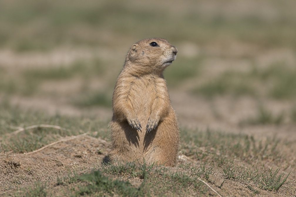 51 sightingsPrairie DogMost seen around 8 AMSighting map
 15 sightingsCoyoteMost seen around 6 AMSighting map
Sighting maps show where each species has been reported across Arches. Wildlife moves, so no sighting is guaranteed.
Keep exploring
 EasyLandscape Arch Trail1.9 mi · 1.3 hr · At the trailheadA short walk to a sandstone span that looks impossibly thin.
 EasyPine Tree and Tunnel Arches Trail1 mi · 45 min · At the trailheadTwo easy arch detours through sandstone fins.
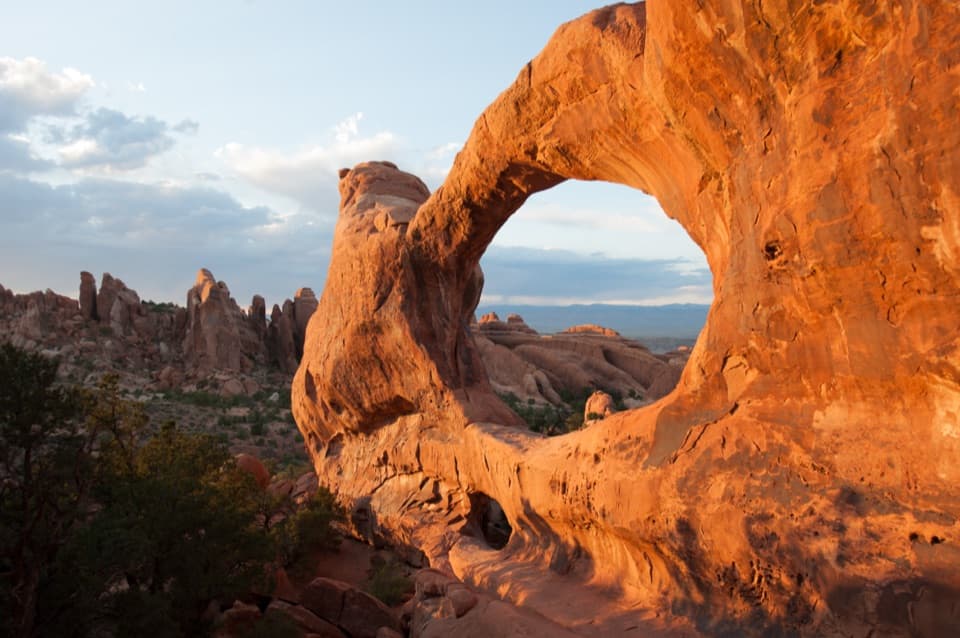 ChallengingDevils Garden Trail7.9 mi · 5 hr · At the trailheadSeven arches, a dark spire, and a rough Primitive Trail return.
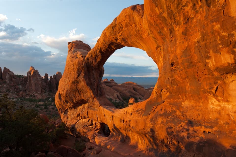 ChallengingDouble O Arch Trail4.1 mi · 2.5 hr · At the trailheadA rocky climb past Landscape Arch to two stacked openings.
 ChallengingPrivate Arch Trail5.5 mi · 3.5 hr · At the trailheadScramble a rough Primitive Trail route to a tucked-away arch.
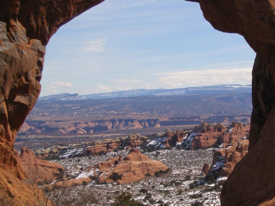 ModerateNavajo and Partition Arches Trail3.4 mi · 2.5 hr · At the trailheadA shaded tunnel and a mountain-framed window beyond Landscape Arch.
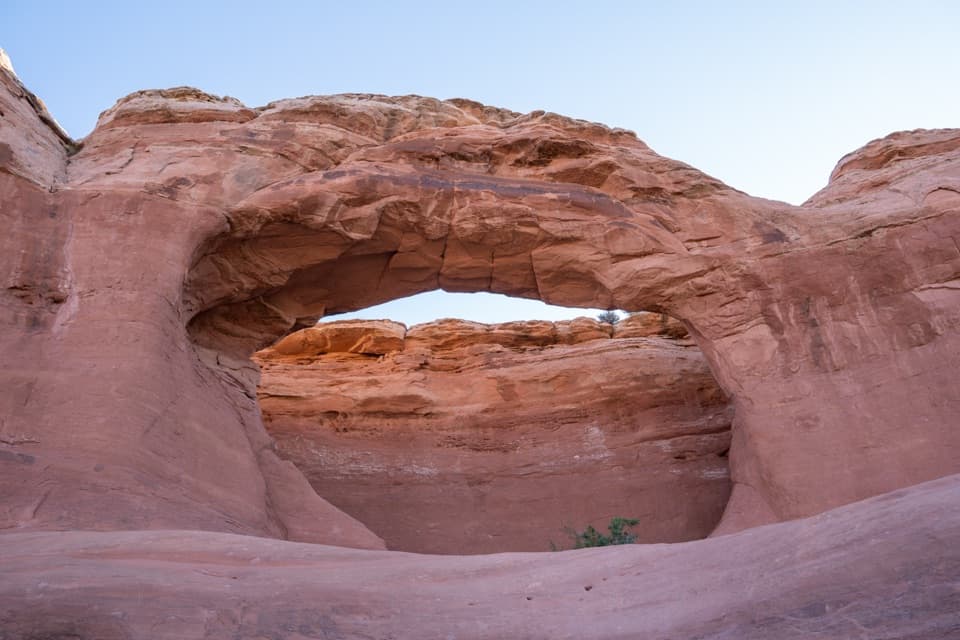 EasyTapestry Arch Trail0.7 mi · 30 min · 0.7 mi awayA short sandy walk to a striking arch with three openings.
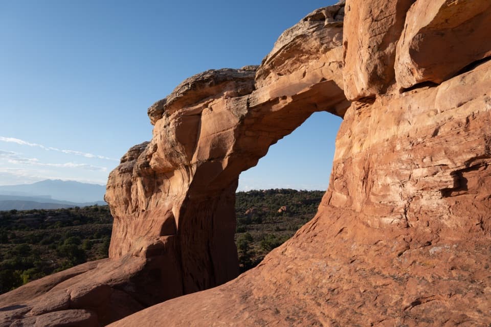 ModerateBroken Arch Trail1.4 mi · 1 hr · 0.7 mi awayOpen meadow, a sandstone arch, and a scrambly return through fins.
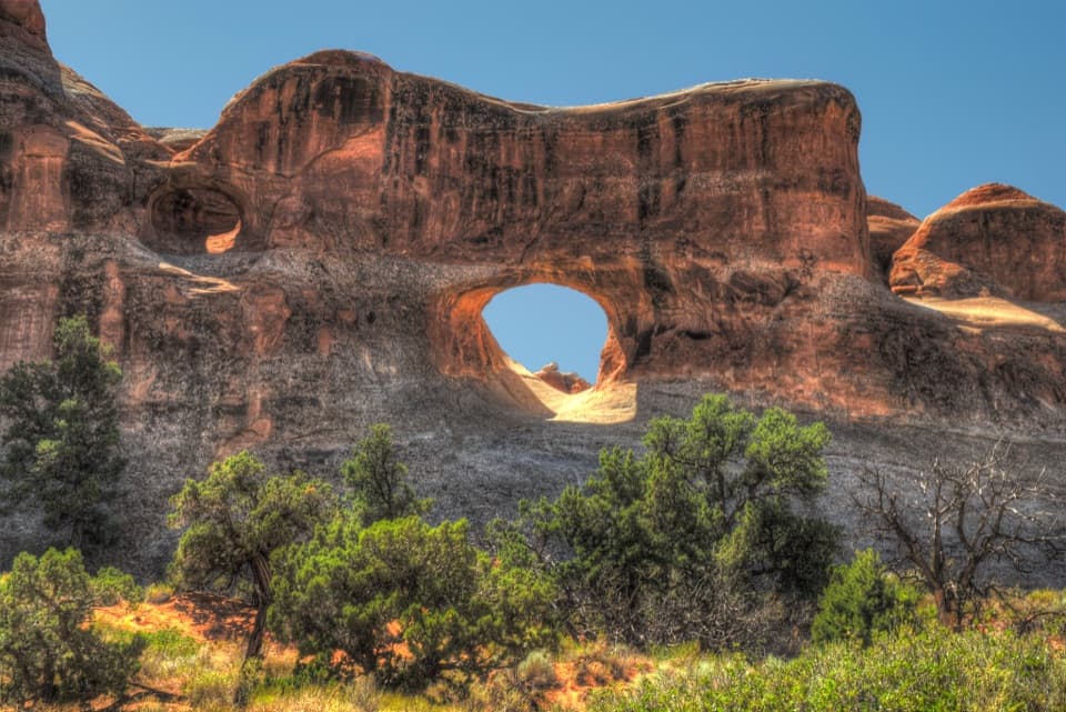 Sight · 0.2 mi awayTunnel ArchA quick Devils Garden detour for a window in the sandstone.
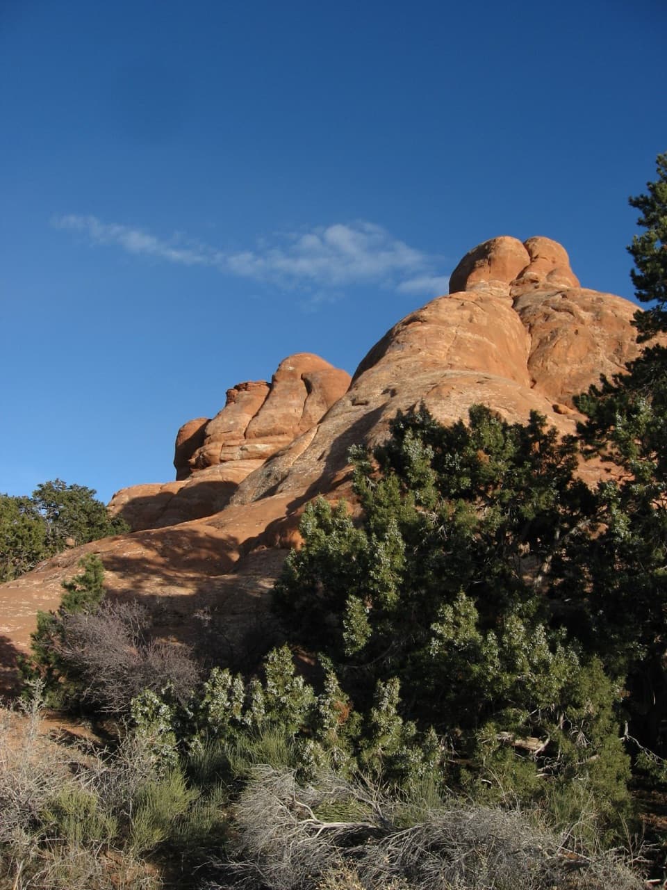 Picnic area · 0.3 mi awayDevils Garden Picnic AreaA handy meal stop among sandstone fins at road’s end.
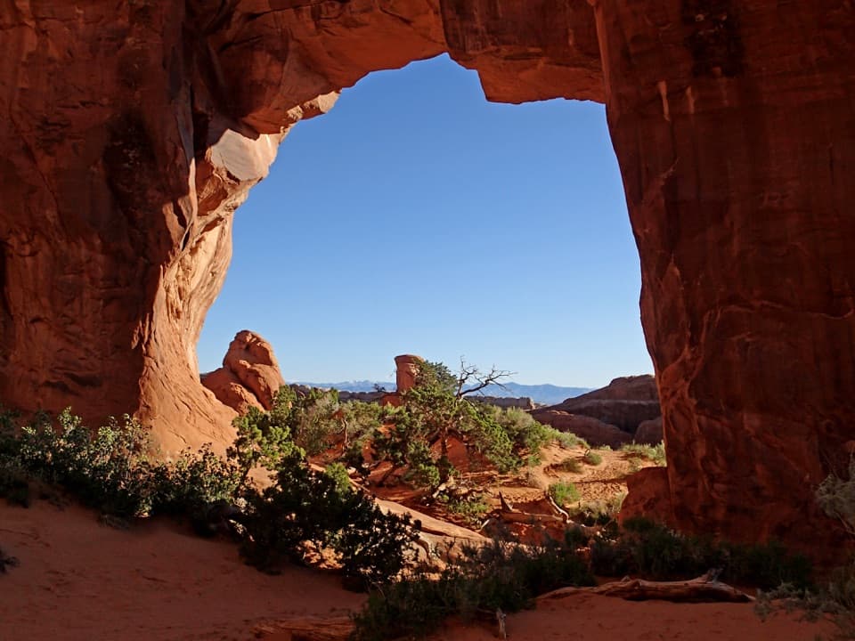 Sight · 0.4 mi awayPine Tree ArchA pine and low sandstone opening reward the short Devils Garden detour.
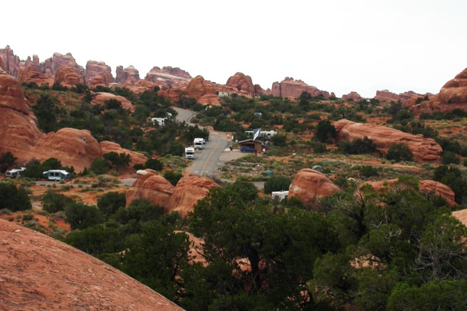 Campground · 0.5 mi awayDevils Garden CampgroundCamp among the sandstone fins, with arches close by.
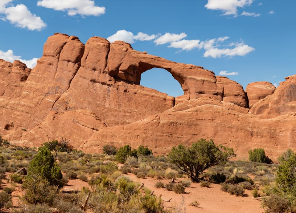 Sight · 0.6 mi awaySkyline ArchA quick stop for an arch reshaped by a 1940 rockfall.
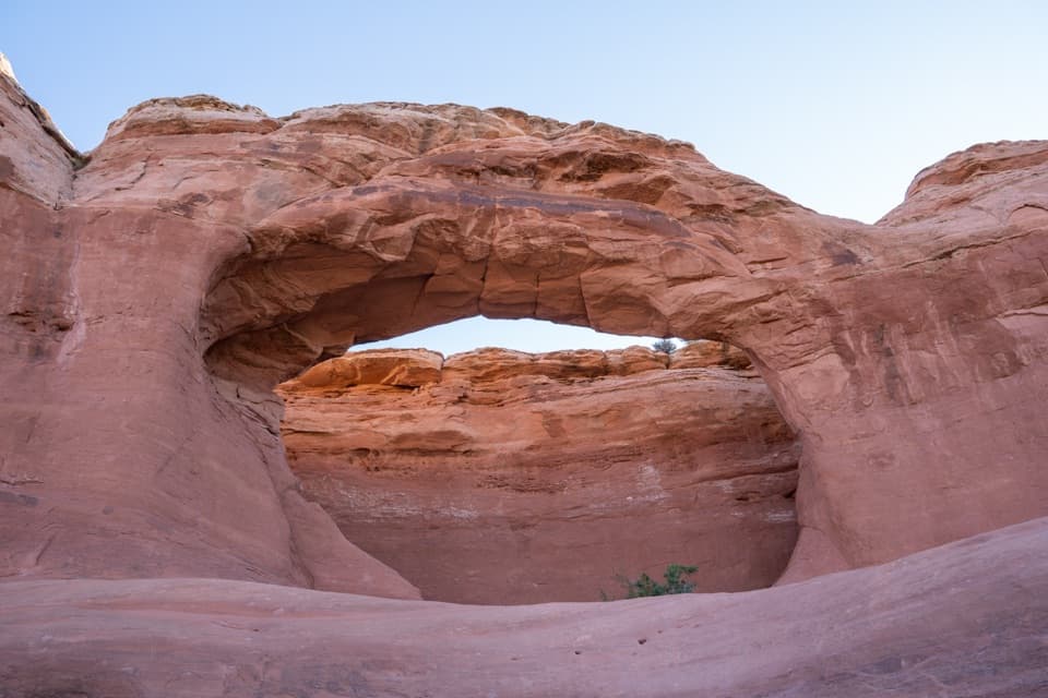 Sight · 0.7 mi awayTapestry ArchA quieter arch spur with one opening and two shallow false arches.
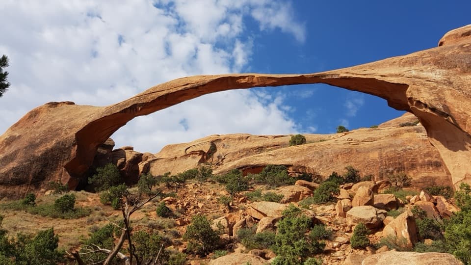 Sight · 0.8 mi awayLandscape ArchThe easy walk leads to a 306-foot span only six feet thick.
 Sight · 1 mi awayNavajo ArchA low, shady arch worth the tougher Devils Garden detour.
Parkwolf’s Arches ranking
The audio tour guide for the drive, plus offline maps, trails, and wildlife heatmaps for when the signal drops.