Map
Where it is

The highest, rockiest slopes around here are a summer buffet for grizzly bears.
Arches Tour Guide
Your drive to Devils Garden Picnic Area, narrated.
Parkwolf is a GPS audio tour guide for Arches National Park. As you drive, it chimes in with what’s ahead: hidden gems, upcoming stops, history, geology, and wildlife, right through your car’s speakers.
See the Arches audio tourRecorded for this place
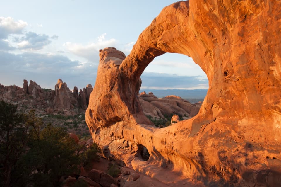
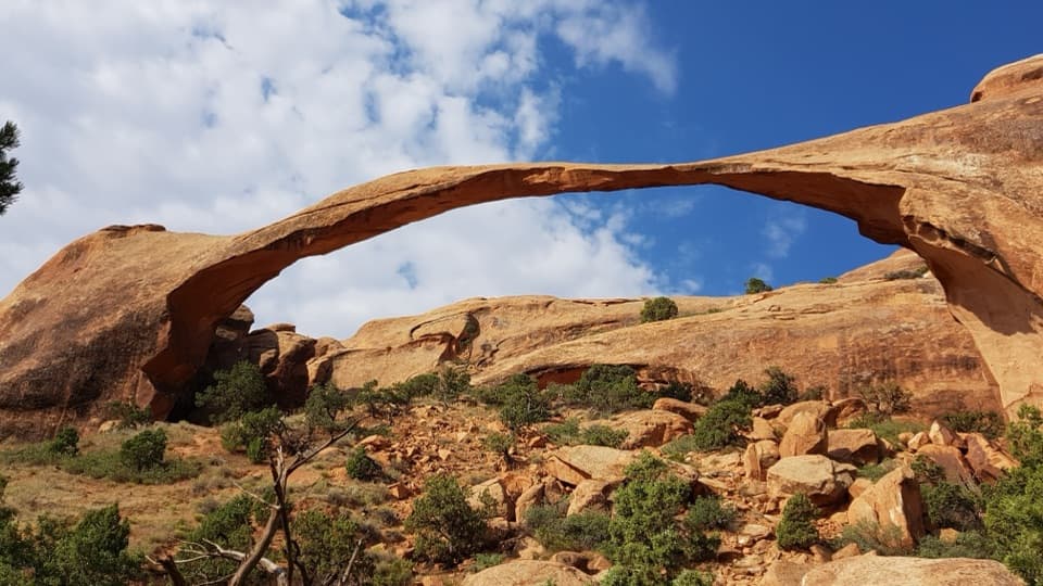
Devils Garden and Landscape Arch“Devils Garden is coming up, with a walk through tall sandstone fins to Landscape Arch. It's my pick for a shorter outing: one point nine miles round trip, allowing an hour to an hour and a half with stops.”
Plays as you drive up to Devils Garden Picnic Area in the Parkwolf Arches Tour Guide.
More stories near here in the app
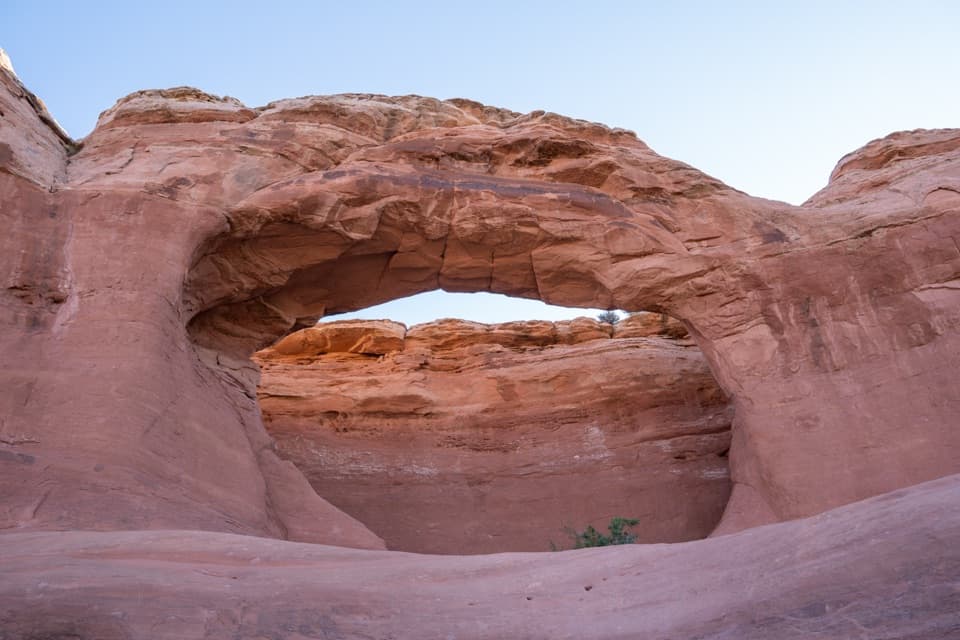
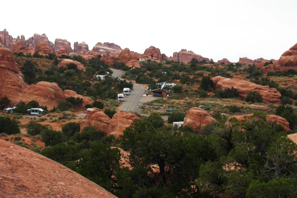
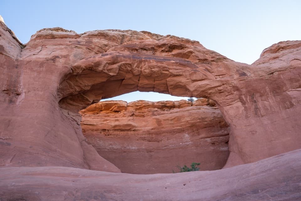
- Devils Garden Campground and Tapestry Arch
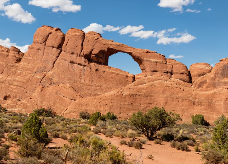
- Skyline Arch
- Ears That Shed Heat
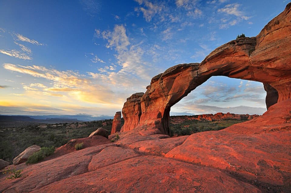
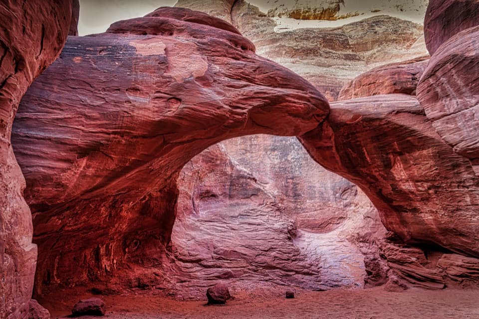
- Sand Dune Arch and Broken Arch
- 35 audio storiesacross Arches’s roads, triggered by GPS as you drive
- Wildlife heatmapsfor Bighorn Sheep, Pronghorn, Raven, and 13 more
- Works offlinemaps, 28 trails, 41 places, and audio download before you lose signal
- CarPlay readysimple controls built for the drive
“I can’t believe how helpful this app is and how interesting the information is for each highlight along the Arches Scenic Drive! This is the first park I’ve used it in.”


Guide
More about Devils Garden Picnic Area
A useful pause at the road’s endThe Devils Garden Picnic Area is a day-use picnic stop just south of the campground entrance,…
The Devils Garden Picnic Area is a day-use picnic stop just south of the campground entrance, at the far end of Arches’ main road. It’s a handy place to pause over a packed meal after the drive north, separate from both the campground and the Devils Garden trailhead. Picnic tables are available, with toilets nearby.
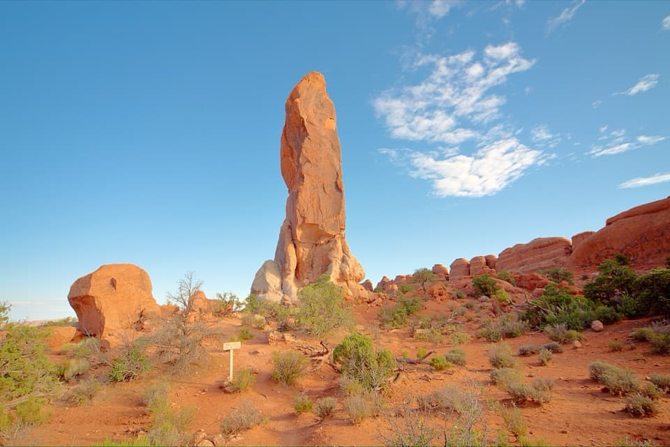
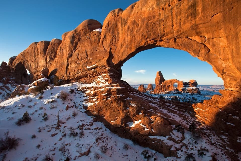
Among fins and spiresThe wider Devils Garden is a cluster of sandstone fins, spires, and arches.
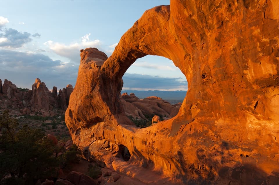
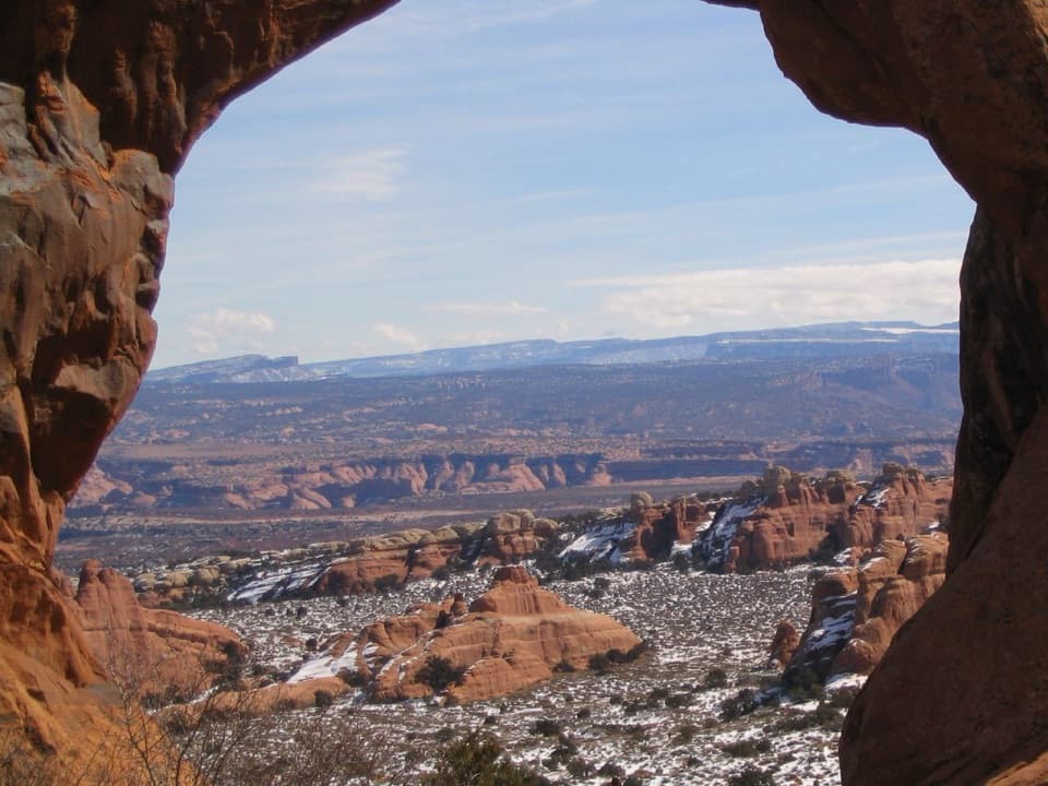
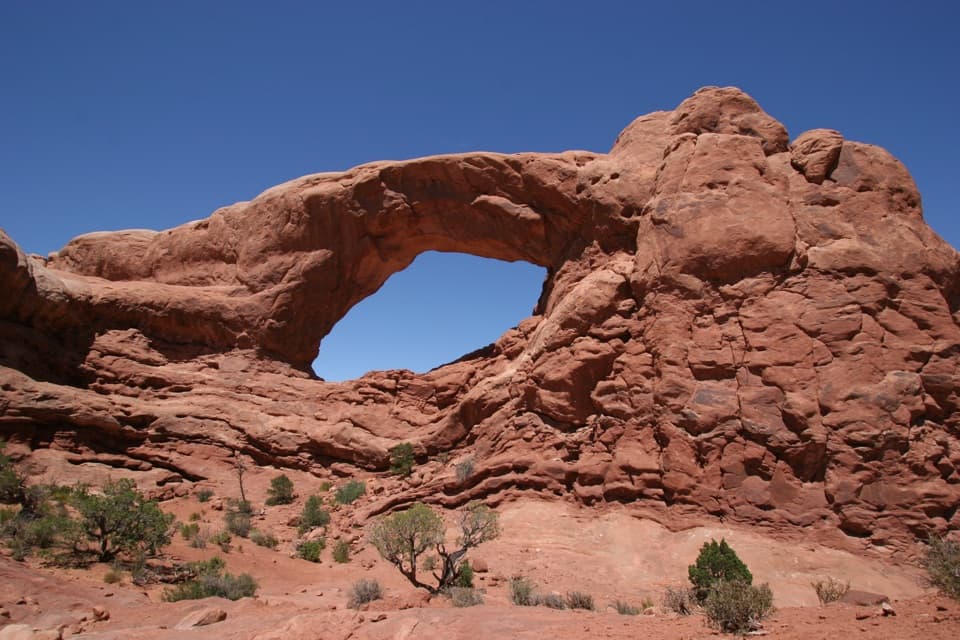
The wider Devils Garden is a cluster of sandstone fins, spires, and arches. Buried salt pushed the rock above it into parallel cracks; water gradually widened those fractures, and some fins eventually opened into arches. It’s a good place to take a breather in the same landscape that makes the park’s northern end worth the drive.
Plan for food and the driveThis is 18 miles north of the visitor center, about a 45-minute drive.
This is 18 miles north of the visitor center, about a 45-minute drive. Bring your meal: there are no restaurants in the park, and Moab has the closest restaurants, about five miles from the entrance.
Wildlife
Wildlife in Arches
 14 sightingsBighorn SheepMost seen around 7 AMSighting map
 10 sightingsPronghornMost seen around 7 AMSighting map
 608 sightingsRavenMost seen around 9 AMSighting map
 187 sightingsMule DeerMost seen around 7 PMSighting map
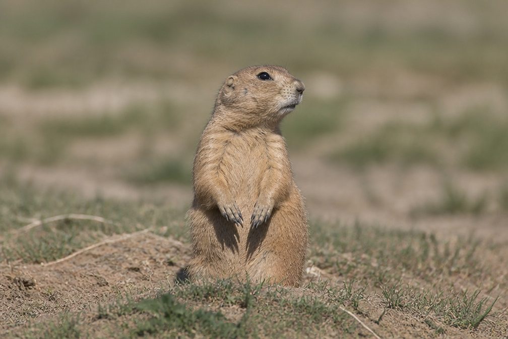 51 sightingsPrairie DogMost seen around 8 AMSighting map
 15 sightingsCoyoteMost seen around 6 AMSighting map
Sighting maps show where each species has been reported across Arches. Wildlife moves, so no sighting is guaranteed.